








.jpg)


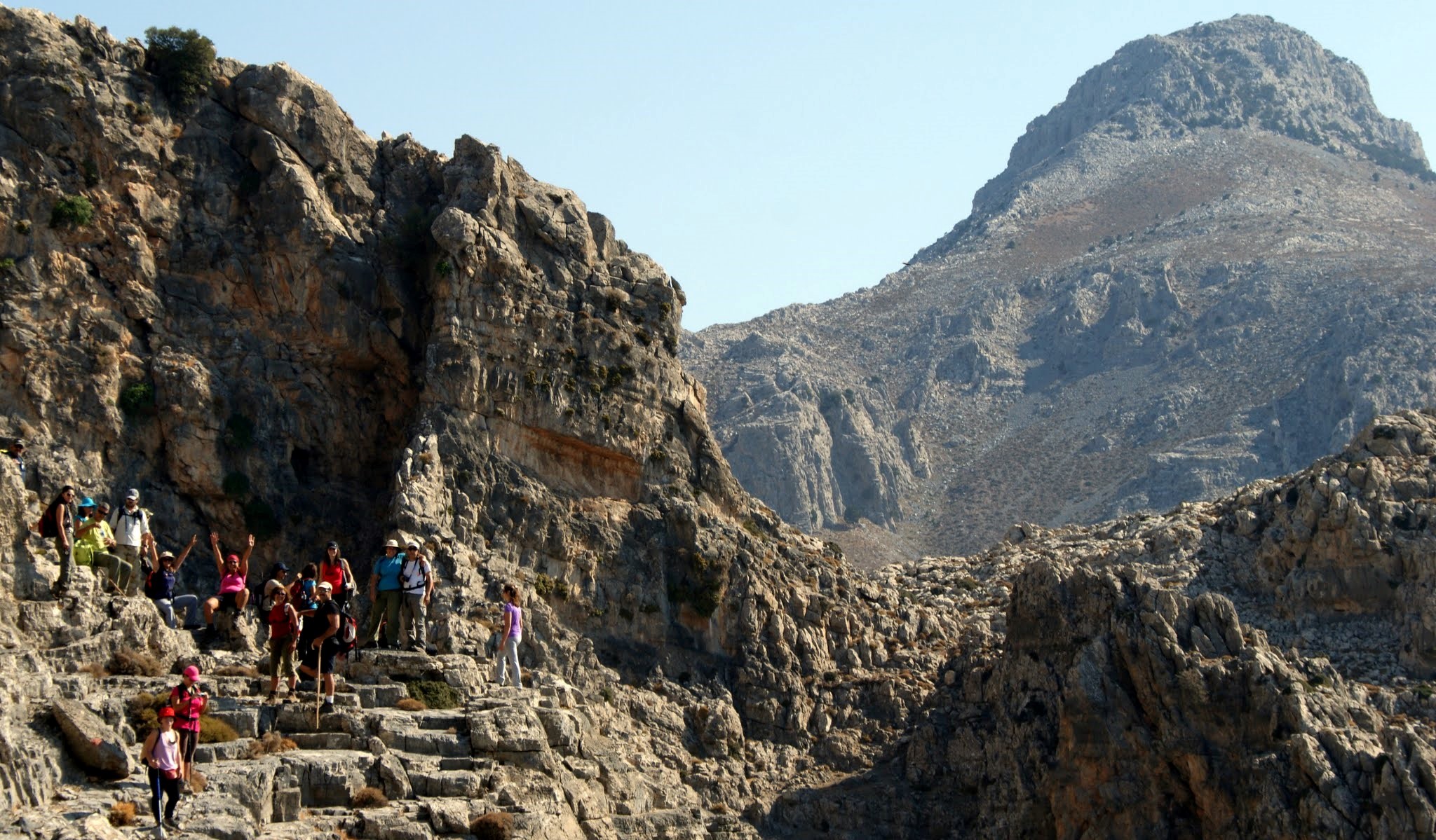
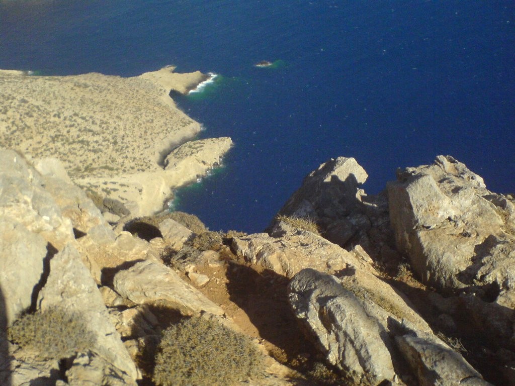
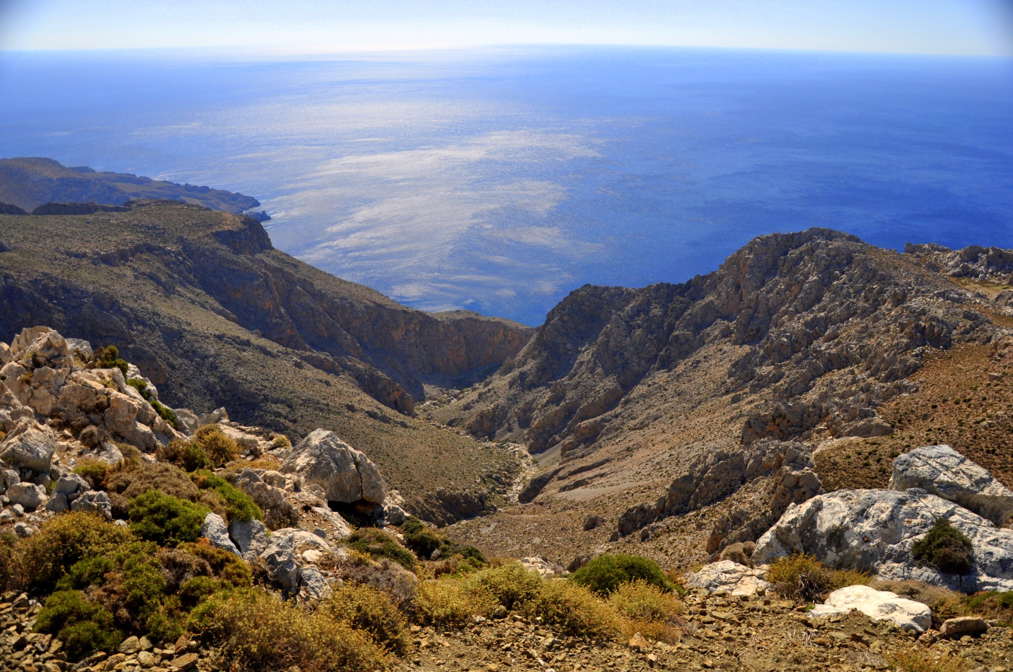
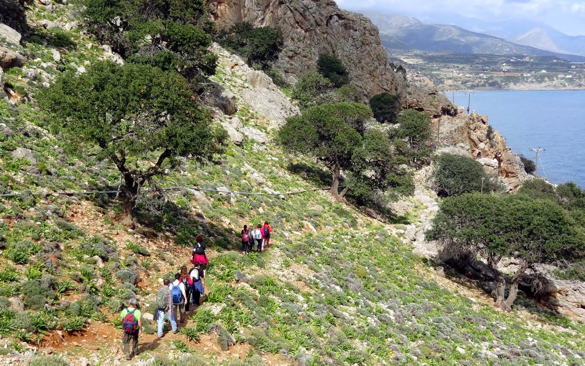
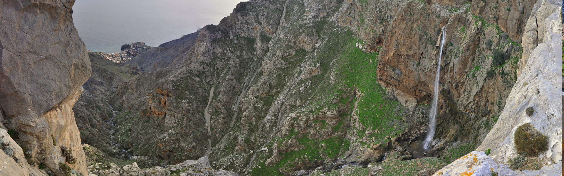
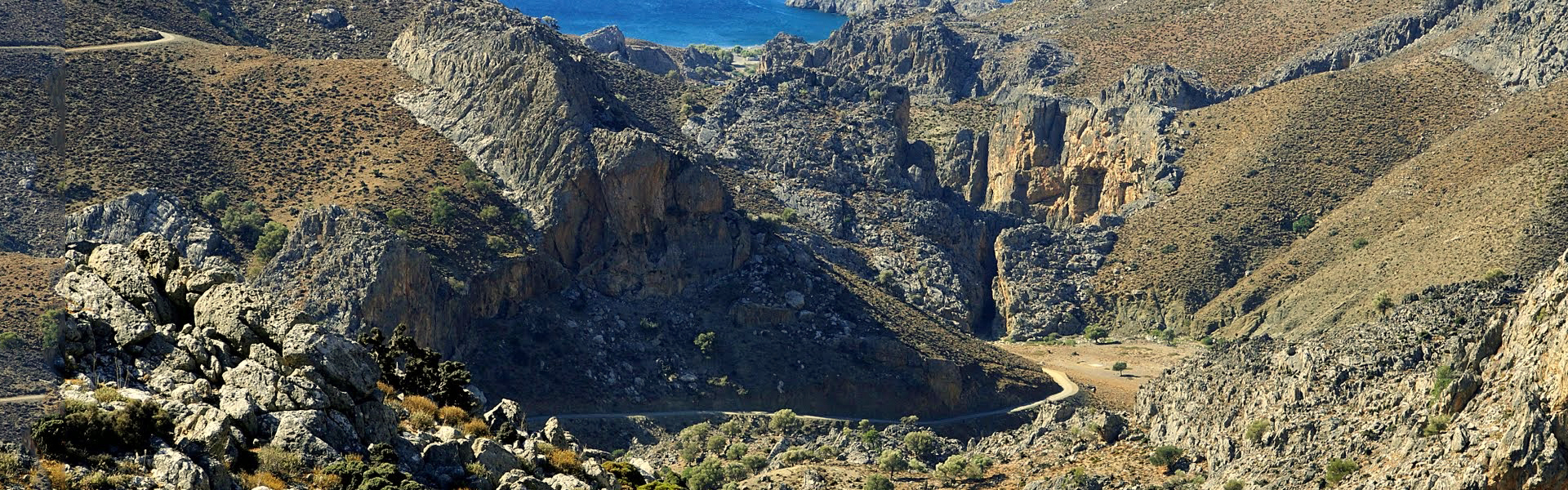
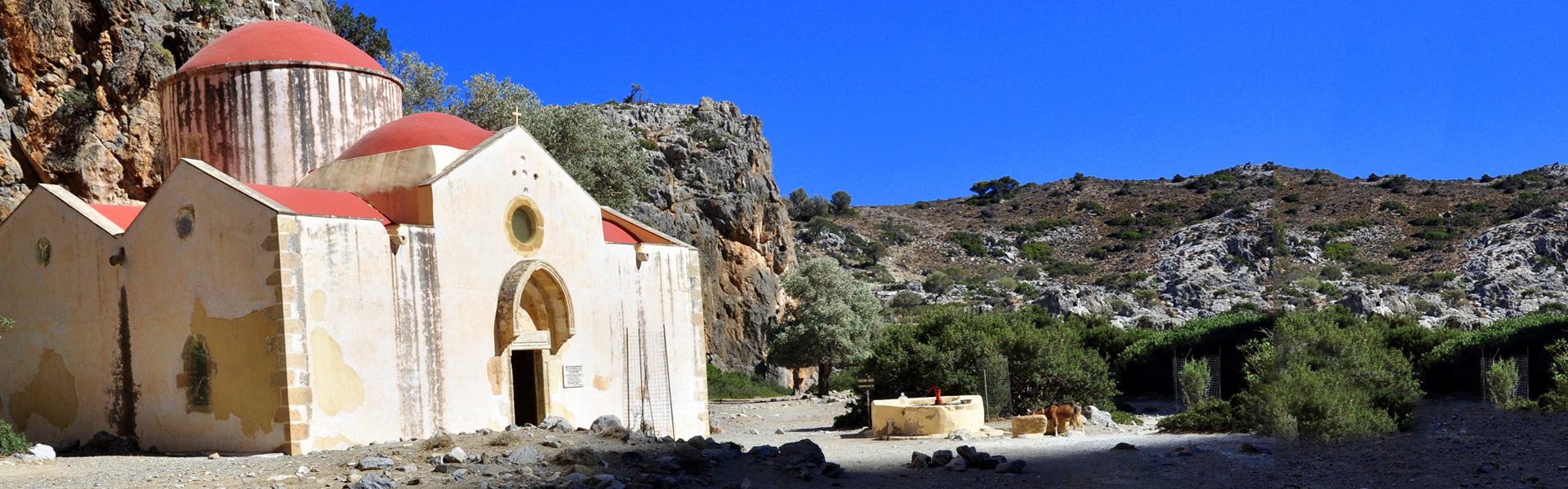

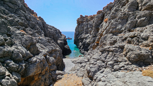
Pikrovlychada (or Petrovlychada) beach is formed at the exit of a small steep canyon with technical descents that starts at an altitude of about 900 meters south of the village Ethia.

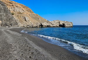
The beach Krygia Vlychada is located to the east of the village Tris Ekklisies in the Asterousia Mountains. The name means Cold Water Spring and is taken after the spring with sweet water that exists where the road ends and today gives life to dozens of oleanders.
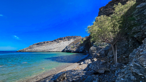
The beach of Foudana is located next to the coastal settlement of Maridaki and belongs to the community of Ahentria Monofatsiou. It is formed in a steep area at the eastern base of Cape Kerkellos and has pebbles, quite a rocky bottom and very clear waters
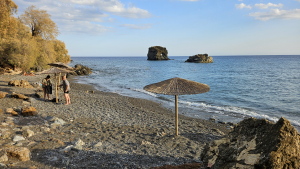
The small beach of the Elephant (Elefantas) is located between Cape Psamidomouri and the beach Petrakis in Lendas and directly below the Levinthos hotel, through which there is access.
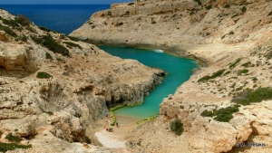
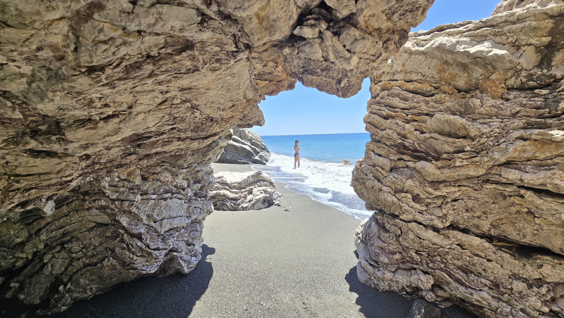
Between the settlements of Tsigounas and Plateies Peramatos we meet one of the most hidden and lesser-known beaches, the secluded beach of Alatsocharakas.
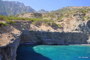
Between the monastery of Panagia Koudoumas and the Cape Martelos there are imposing vertical cliffs with beautiful striped formations, known as Aspes (don't confuse with the popular Aspes beach). At the base of the cliffs three small beaches with crystal blue waters and pebbles are formed, which are only accessible by boat, as there is no access by any trail.
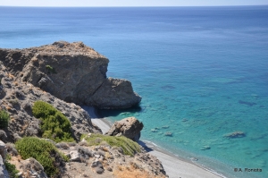
Between the settlements Tsigounas and Platia Peramata there are several beaches with the characteristic black pebble of southern Crete. One of the most unknown and secluded is the long beach of Agios Onoufrios, in a secluded location with many greenhouses almost hanging from the cliffs.
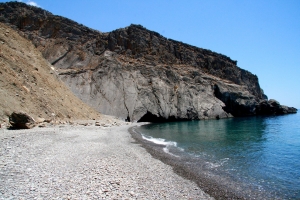
Leprias or Lepries is a small pebbly beach located at Kalokambos area, about 73km south of Heraklion city, amidst the wild and majestic landscape of Asterousia Range, southwest of the summit of Kofinas. The beach is formed in front of a steep dirt slope, which crumbles and collapses like the leper's skin, therefore it is called Leprias, after the Greek word for leper.
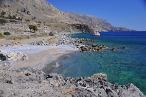
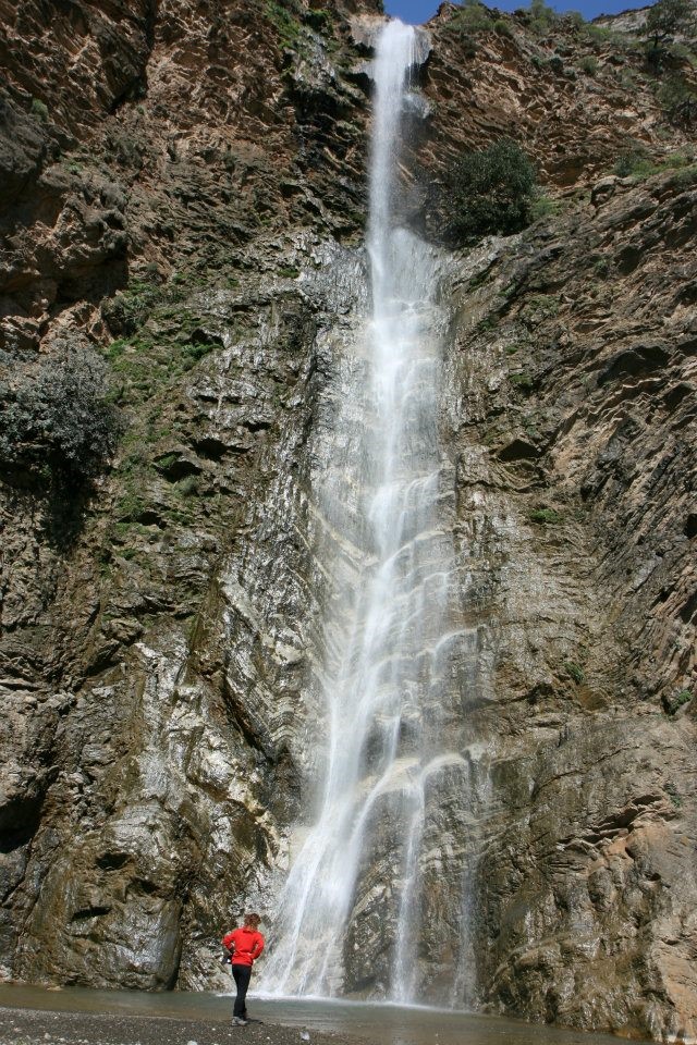
Behind the big hill west of the settlement Tris Ekklisies, there is a second stunning beach with fine sand, which is completely isolated and surrounded by the largest carob wood in Europe. The beach is called Pahia Ammos and is shaped at the exit of Agia Paraskevi Gorge, which also houses an unknown 105m high waterfall (only in winter).
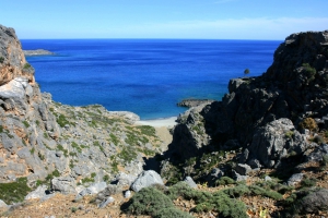
The bay of Salamia(s) is located 74km south of Heraklion, between Agios Ioannis and Tripiti. There is no road nearby, thus it is one of the most secluded areas of Crete. You can reach it either by boat or by easy walking from Agios Ioannis.
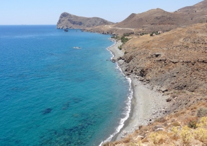
The very quiet beach of East Tsigounas, mostly known as Petrakis, is located 1km east of Lendas and 76km south of Heraklion. it is located on the foots of the steep and inhospitable slopes of Asterousia Mountains.
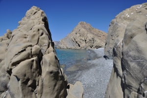
West of Platia Peramata village, there is another smaller settlement called Krigioi. In front of Krigi, there is a small cove with fine pebble and crystal clear water. Krigi beach is ideal for seclusion, snorkeling and fishing. West of Krigi, you'll reach another pebbly remote beach. Some more meters on the west you'll find the three consecutive beaches of Kokkines Plakes (i.e. Red Rocks), named after the reddish rocks around and accessed mainly through sea.
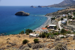
The beach of Lassea in front of the village Chrysostomos is very beautiful, with coarse sand and well protected from the west winds. It is unorganised, but still it's close to the settlement. On the west end of the beach there is a "line" of rocks, that heads towards the small islet of Trafos. This is the old dock of the ancient city Lassea.
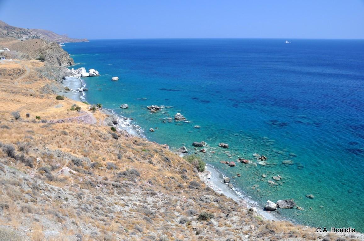
Kokkines Plakes is a remote and striking stretch of coastline, where vivid red and purple rocks meet the deep blue of the sea. Its wild beauty and geological diversity make it a unique destination for exploration and quiet swimming.

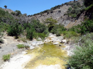
The gorge of Mindris starts near the village Filippi and ends at the port of Tsoutsouras, after running a distance of 6km. It is a open canyon without vertical walls, which’s riverbed is dry in summer and very easy to walk. On the riverside traces of ancient settlements, ranging from the Minoan to Roman Era have been found.
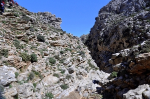
The Gorge of Ethia, officially known as Vorno, is located south of Heraklion, at the Asterousia Range. It starts from the village Ethia and, after tearing Asterousia northwards, it finishes at the plain of Messara, between the villages and Rotasi and Mesochori.

Martsalo gorge has a length of about 2km and is located in the south coast of Asterousia Mountains, in Heraklion Prefecture. It starts from the north and ends at the Libyan Sea, in the small picturesque beach of Martsalo. Apostle Paul stopped in Martsalo, during his journey to Rome.
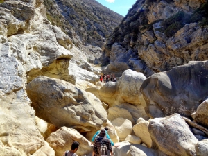
Anapodaris Gorge is formed at the final part of the longest river of Crete, Anapodaris, that collects the waters of Central Province Heraklion and South Dikti Range. The suggested route has a duration of 3-3.5 hours and is possible during summer or late spring when the river does not have too much water. It is worth noting that the river empties to the sea about 40 million cubic meters of water annually.

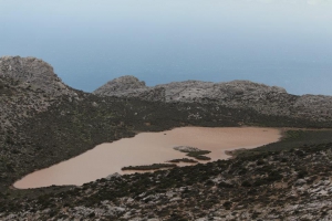
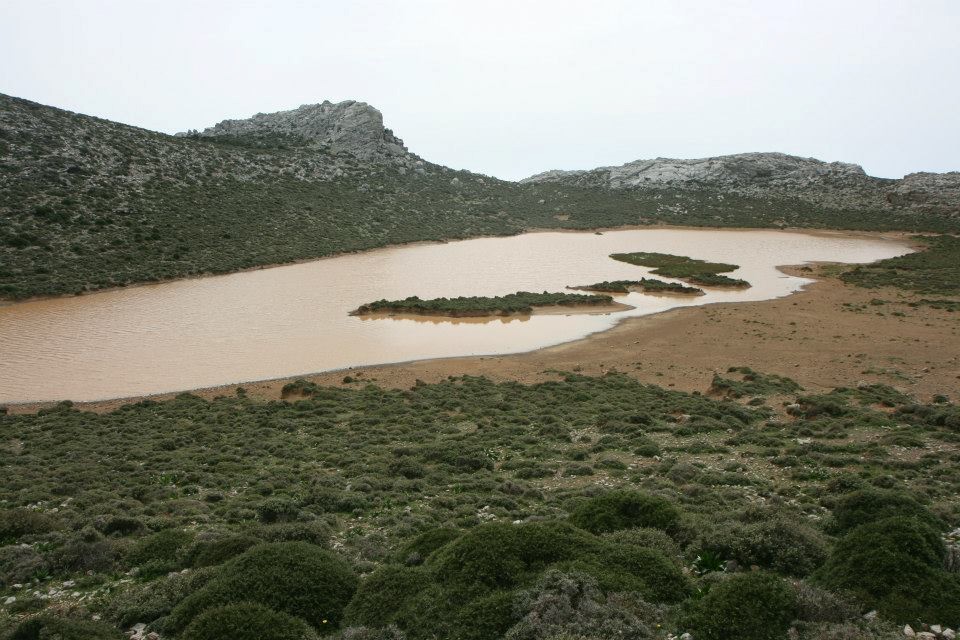
The name means the lake of the Turk, taken after a legend according to which a Turk was drowned here. In order to reach the lake you should follow the dirt track from Ahendrias to Stiromandra. From Stiromandra follow the short path which is part of the old trail from Ahendrias to Agios Nikitas monastery.
Also read:
- Home
 Beaches
 Nature
 Past
Past Destinations
 Highlights
 West Crete
- Central Crete
- East Crete
- Towns
- Chania Prefecture
- Chania
- Paleochora
- Kissamos
- Georgioupolis
- Chora Sfakion
- Loutro
- Rethymnon Prefecture
- Rethymnon
- Agia Galini
- Plakias
- Spili
- Anogia
- Heraklion Prefecture
- Heraklion
- Hersonissos
- Malia
- Matala
- Agia Pelagia`
- Archanes
- Kokkinos Pirgos
- Lassithi Prefecture
- Agios Nikolaos
- Elounda
- Sitia
- Ierapetra
- Makrigialos
- Palekastro
- Zakros
- Lassithi Plateau
- Get Prepared


