








 Agiofarago beach
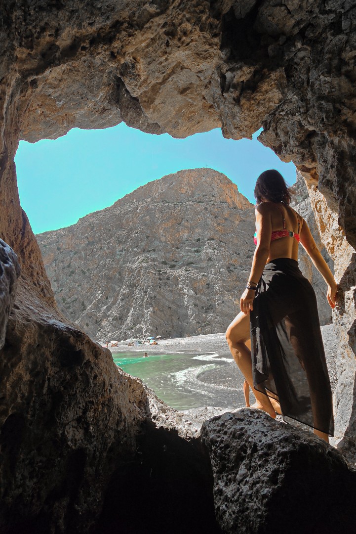
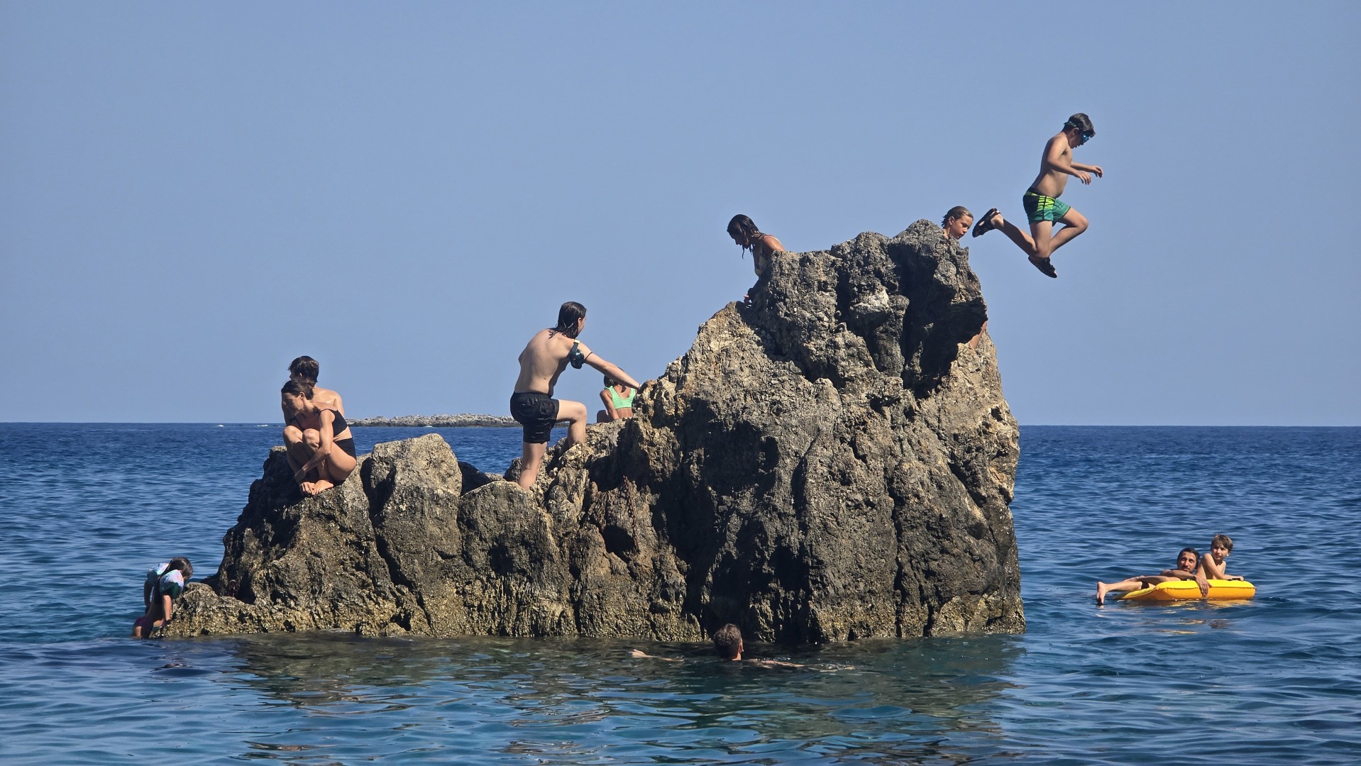
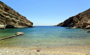
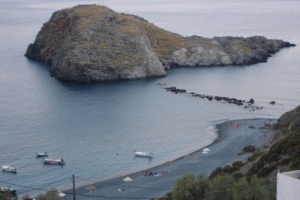
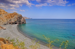
Agiofarago Beach lies about 80 km south of Heraklion, west of Kali Limenes, at the mouth of Agiofarago Gorge. It has fine pebbles and clear turquoise water. At its western end, below the steep cliffs of Kapsala, a natural rock arch rises from the sea. Offshore lies the low rocky islet of Papadoplaka, where local people used to collect sea salt from hollows in the rock.
East of the beach, among steep rocks, lies Vourvoulitis, a sinkhole containing brackish water that connects to the open sea through an underwater passage. Its sides are steep and descending to the water is dangerous.
Inside the Gorge of the Saints
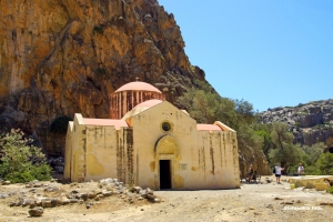
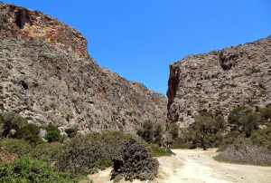
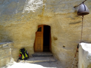
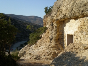
The trail follows the streambed between high cliffs dotted with caves where hermits once lived. Shortly before the beach, it passes the Church of St Anthony, which grew around an older cave chapel. A well containing brackish water stands beside the church.

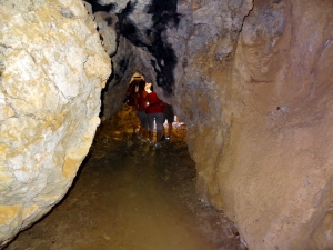
Farther down the trail lies Goumenospilios Cave. Its small entrance opens into a larger chamber lit by an opening in the roof. Local tradition holds that the hermits who lived in isolation in the gorge’s caves gathered here once a year.
Getting to the beach
From Heraklion, the road runs through Moires and Sivas to Odigitria Monastery. From the monastery, the route continues on the dirt road towards Kali Limenes. About 4 km beyond the monastery, the turn-off for Agiofarago leads to a clearing used for parking. The walk from the nearest parking area to the sea takes around 25–30 minutes.
The beach has no facilities, so visitors need to bring drinking water. It can also be reached by excursion boat, depending on the weather and availability.



.jpg)


Nearby places of interest
Straight-line distances
 0.2 km
Vourvoulitis Pond
 0.5 km
Saint Anthony Church at Agiofarago
 0.5 km
Goumenospilios Cave
 0.9 km
Agiofarago Gorge
 0.9 km
Martsalo beach
 1.2 km
Martsalo Gorge
 1.5 km
Kouneni beach at Kefali
 1.8 km
Panagia Church at Martsalo
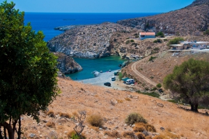 1.8 km
Stena beach
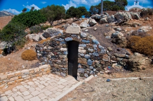 2 km
Saint Paul church at Kali Limenes
 2.1 km
Kefali peak at Lithino
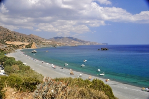 2.8 km
Kali Limenes beach
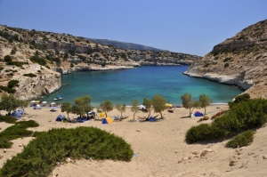 3.6 km
Vathi beach
 3.7 km
Saint Kiriaki church at Agiofarago
 4.5 km
Ancient Lassea
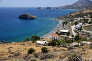 4.5 km
Lassea beach (Chrysostomos)
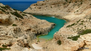 4.7 km
Gournia Fjord near Vathy
 5.4 km
Maha beach
Additional Info
- Sea water color: Deep blue
- Sand type: Fine Pebbles
- Location: Heraklion Prefecture, Central Crete, South Crete, Messara area (Kainourgiou)
- Depth: Deep
- Sea surface: Usually calm
- Crowds: Normal
- Other Information: Ideal for snorkeling / spearfishing, Rock shade
- Accessibility: Dirt track, Boat, Walking


