








 Tripiti beach at Asterousia

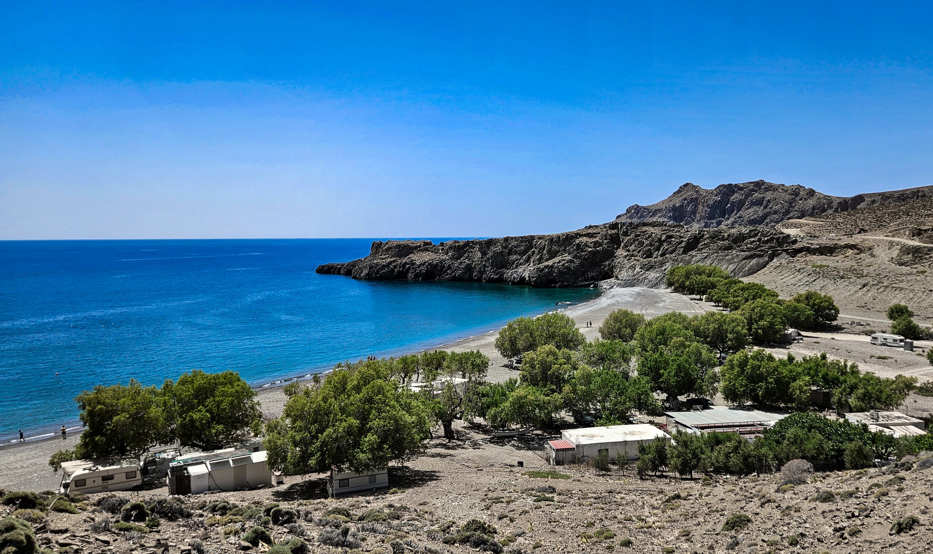
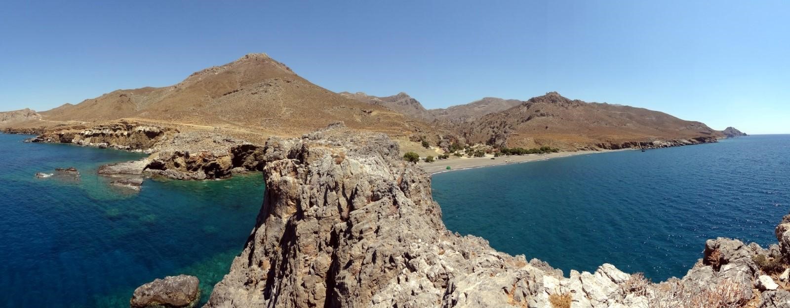
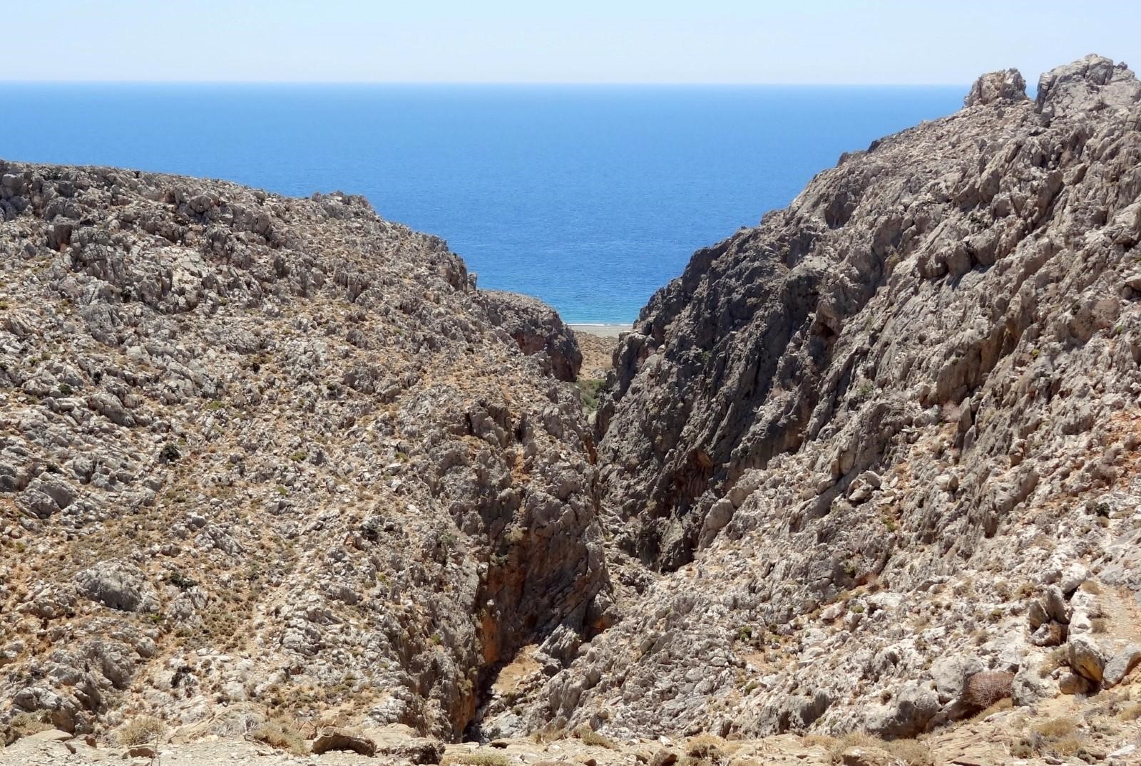
Tripiti is located 73km south of Heraklion and 12km east of Lendas, in a small valley formed at the exit of Steno Gorge. The gorge is crossed by the Agiosavvitis River, which forms the natural boundary between the territories of the villages Miamou and Vassiliki. Tripiti takes its name after the caves (tripes) on the cave Fylakas or from the church of Panagia Protoseptemvriani, which is built inside a cave at the exit of the gorge, very close to the sea.
There are two alternative routes to reach the beach, both involving a long drive along dirt roads. The first follows a 6km dirt road that begins at the port of Lendas at Loutra and heads east, crossing Cape Trafoulas before reaching Tripiti after a rather bumpy drive through an authentic, wild Cretan landscape. Alternatively, you can start from the village of Krotos and join the same dirt road along the way.
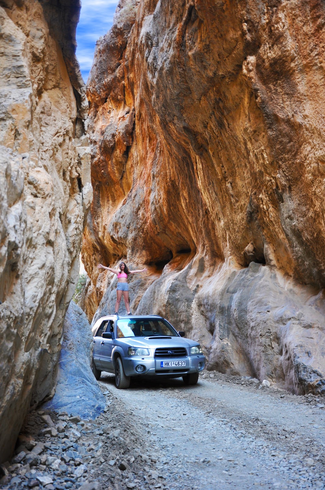
The second option is to drive 9km from the village of Vassiliki in the Messara Plain, which can be reached through the village of Agii Deka. The dirt road crosses the wild Asterousia Mountains and initially runs alongside the inaccessible Gorge of Agios Savvas, also known as Tripiti Gorge, with its imposing rock formations and the olive grove of Agios Savvas. Near the beach, at the location known as Steno Faragi, the gorge becomes so narrow that there is barely enough room for a single car. This passage, with its towering walls almost “kissing” high above your head, is truly impressive and worth visiting even if you arrive by the other route.
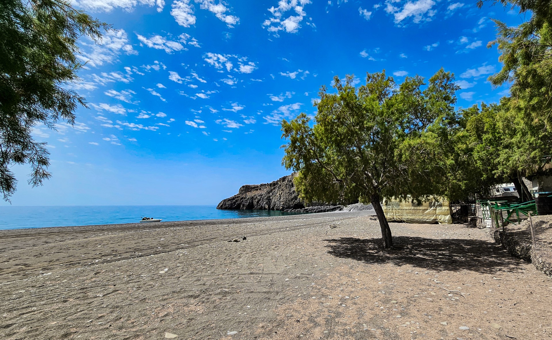
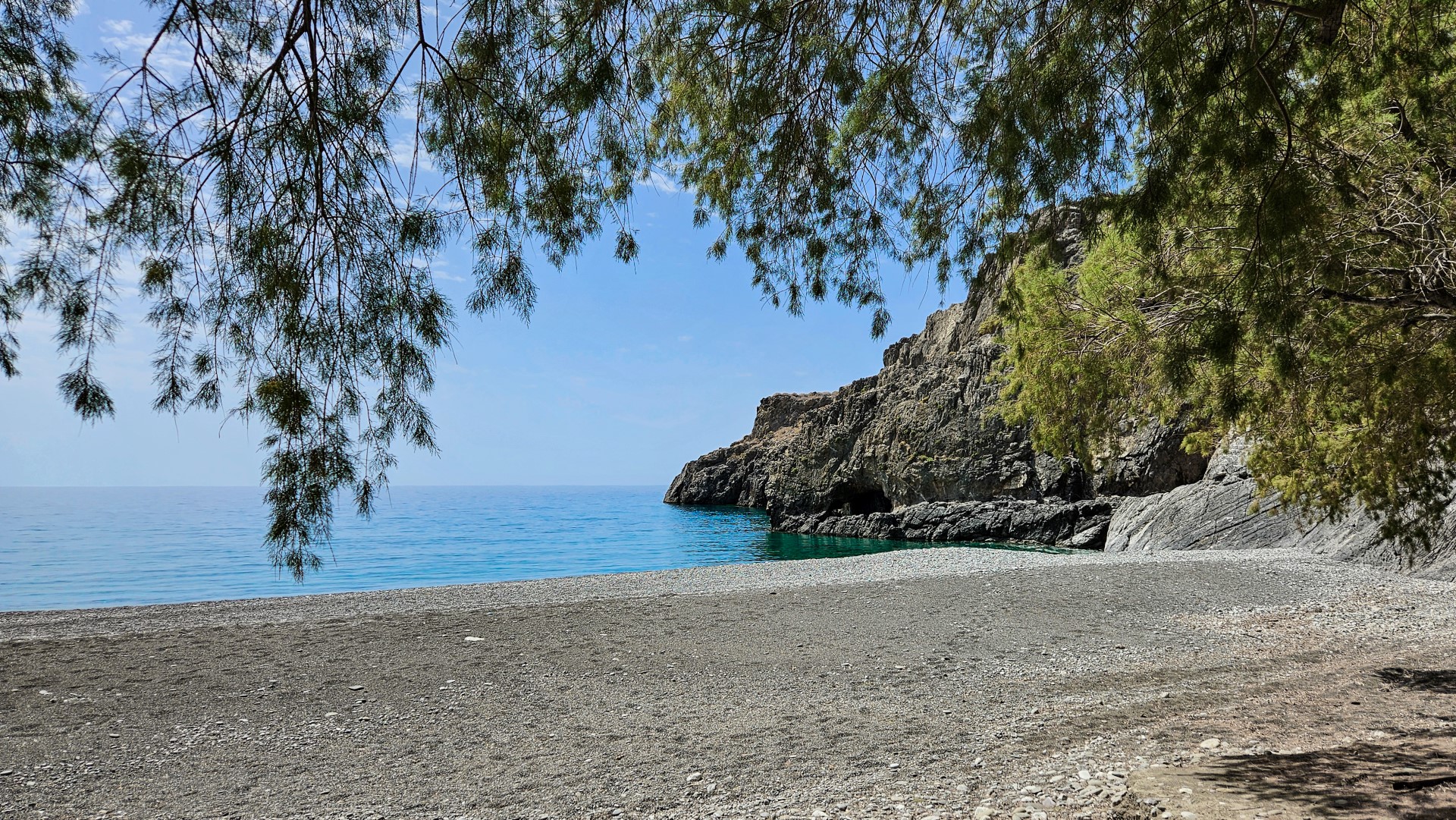
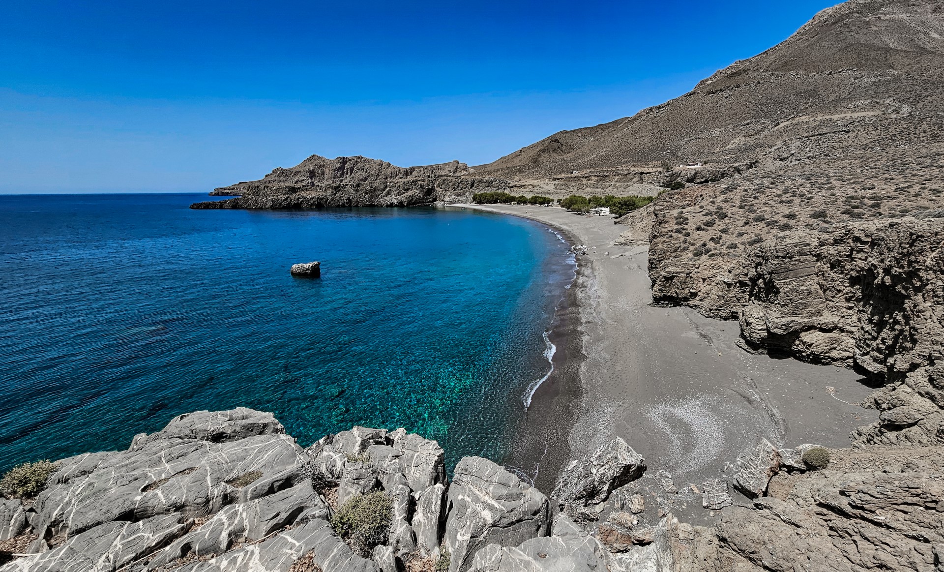
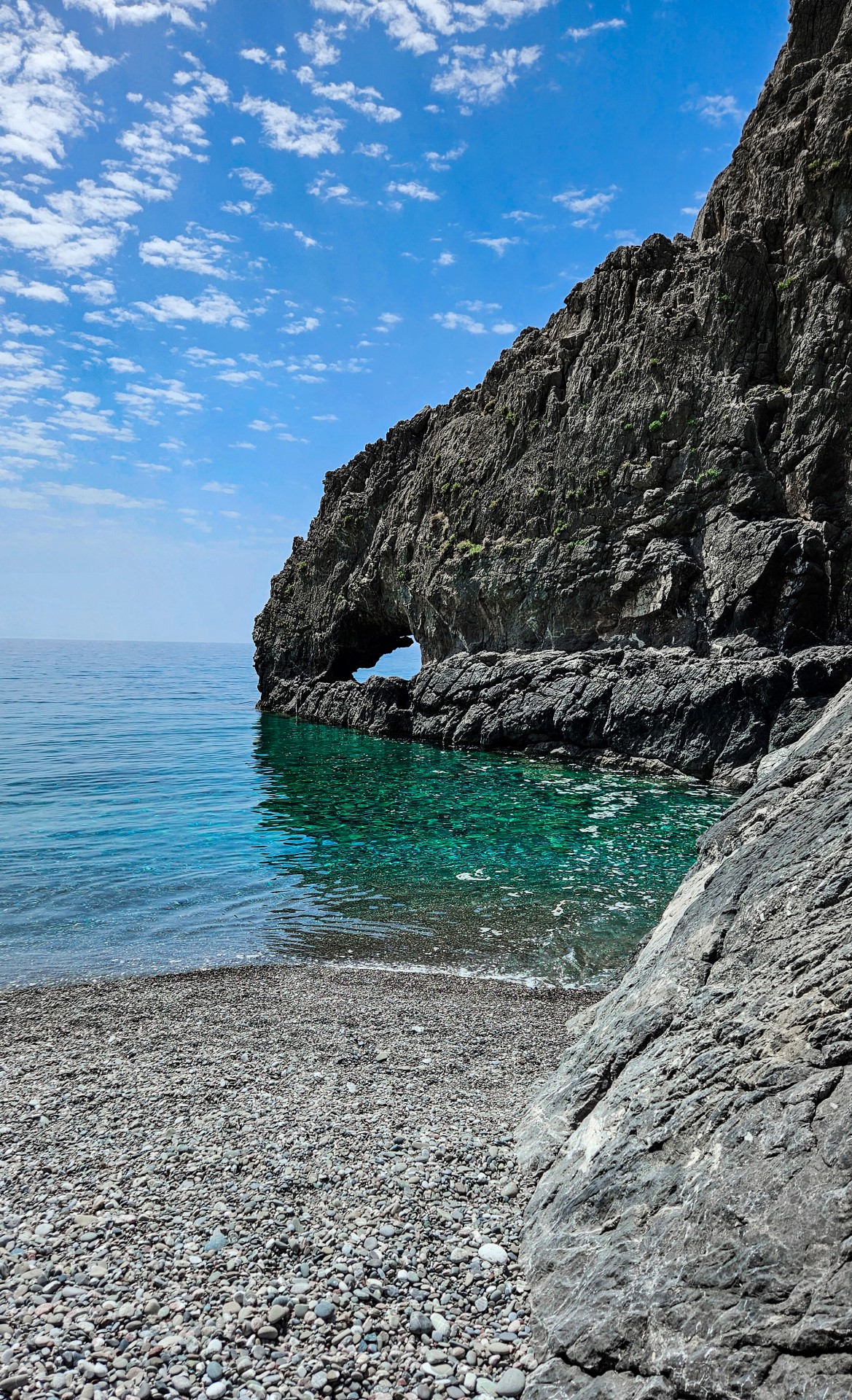
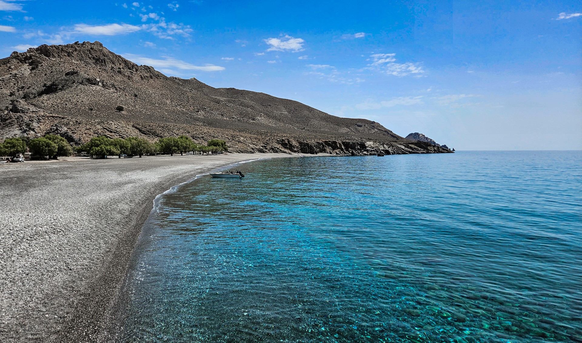
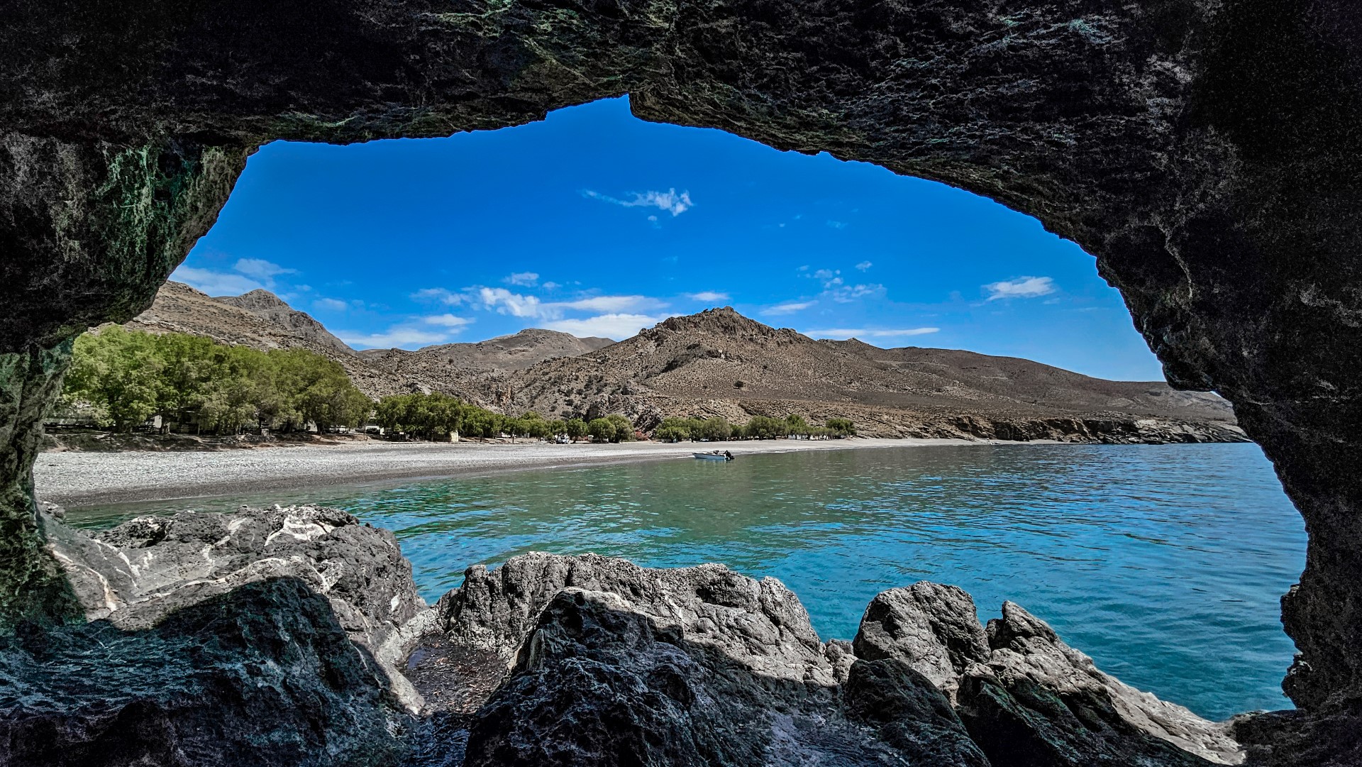
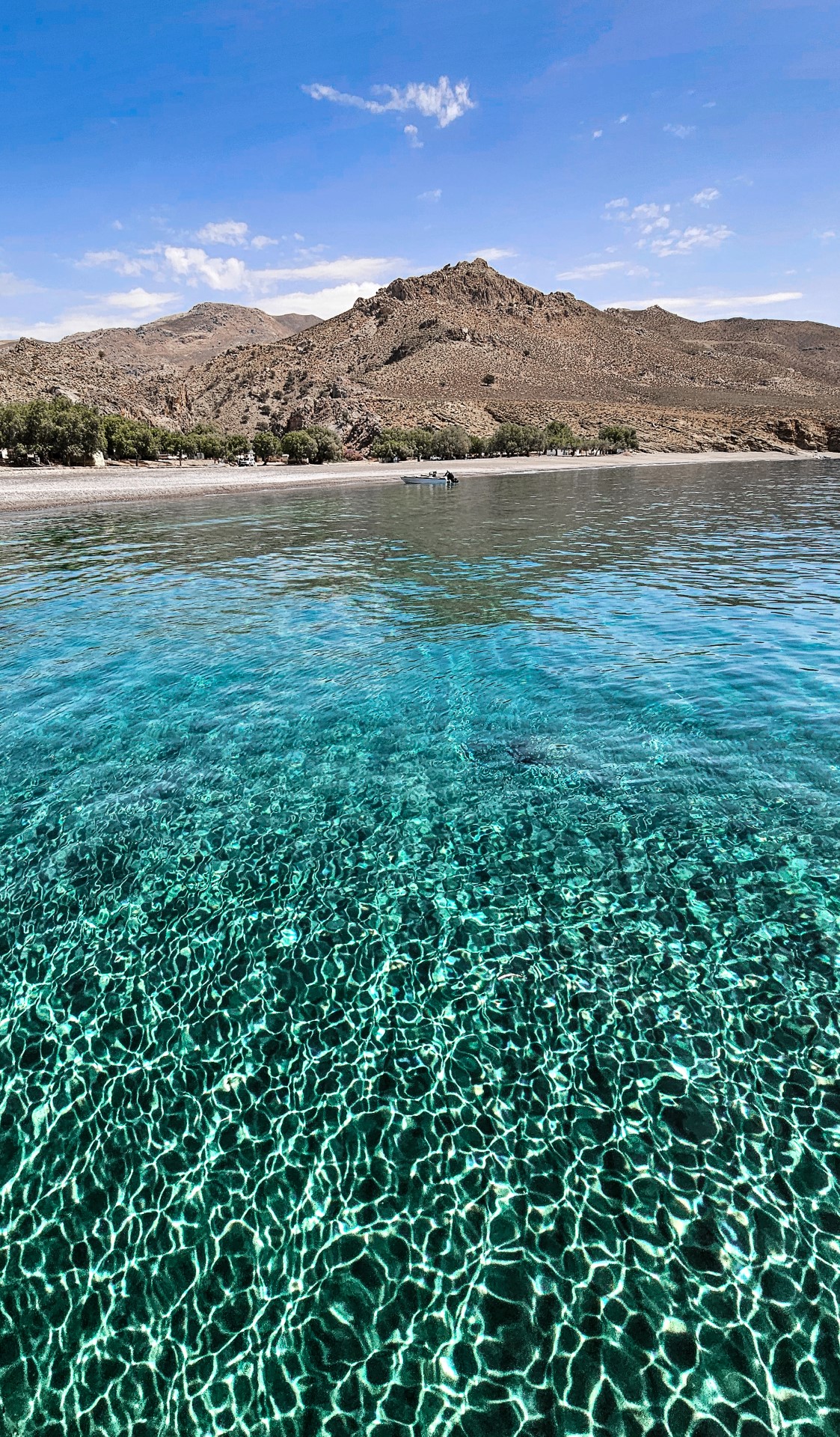
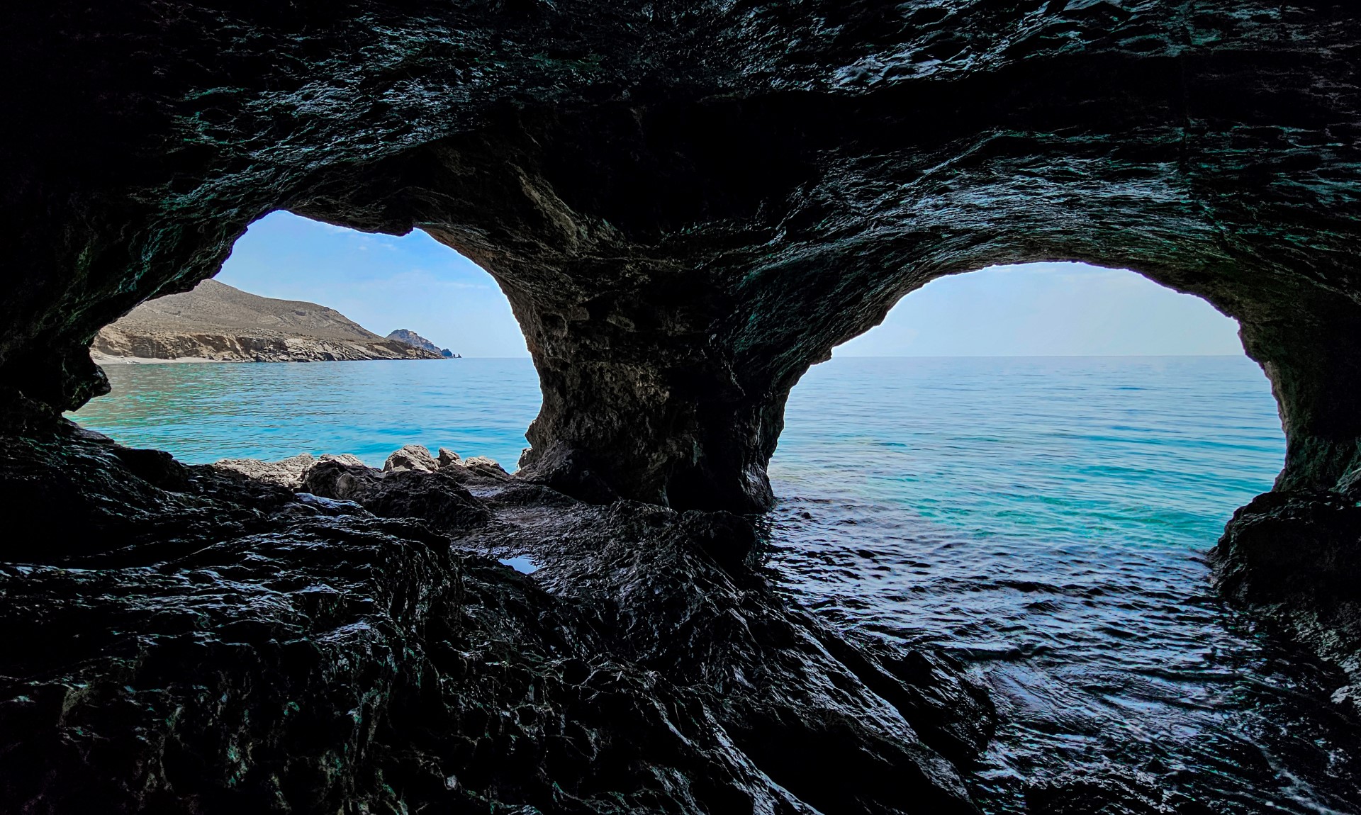
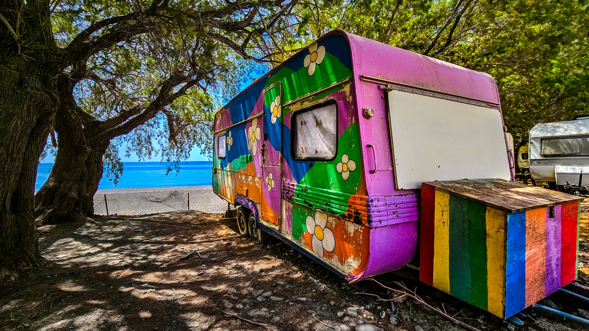
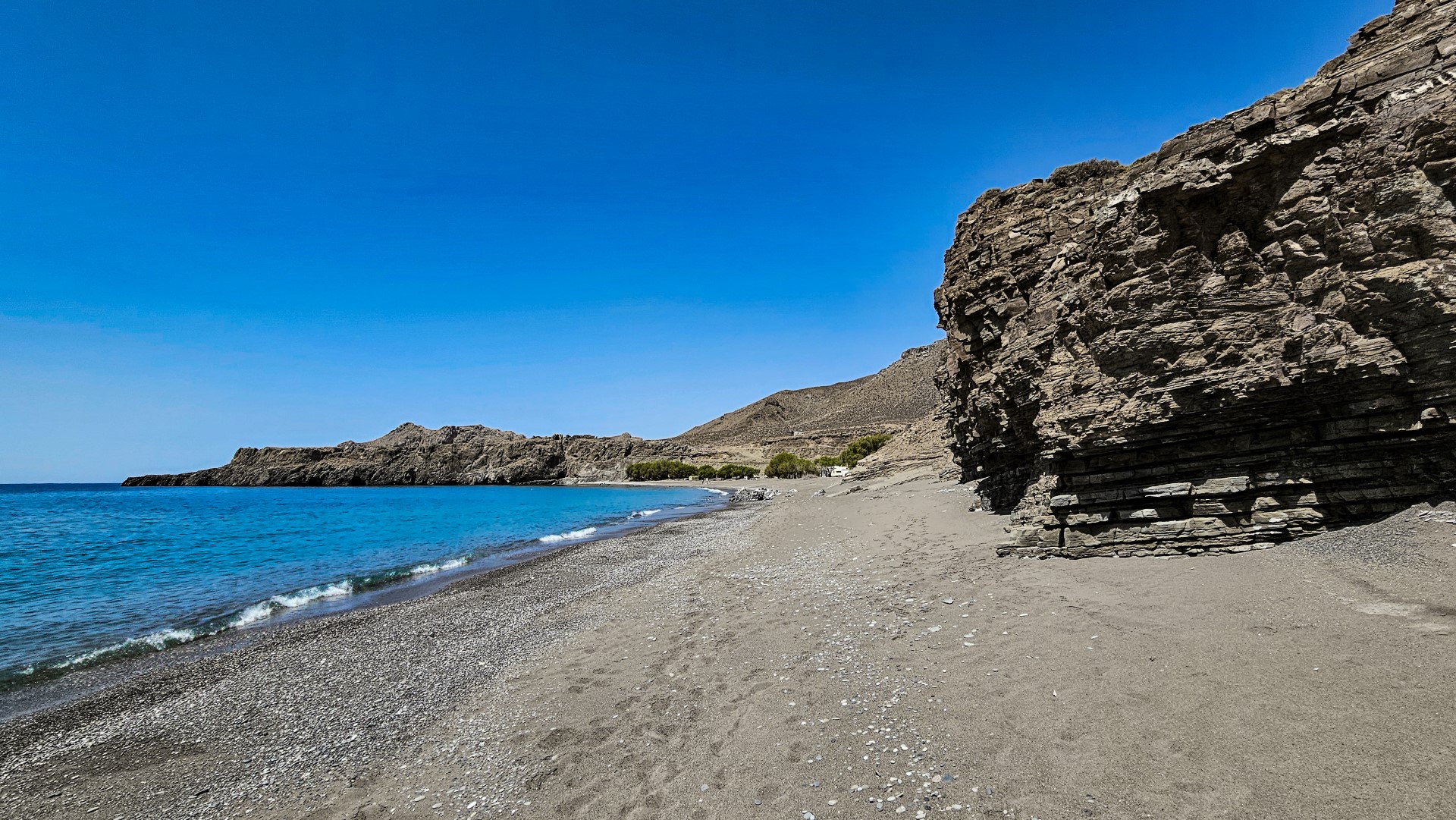
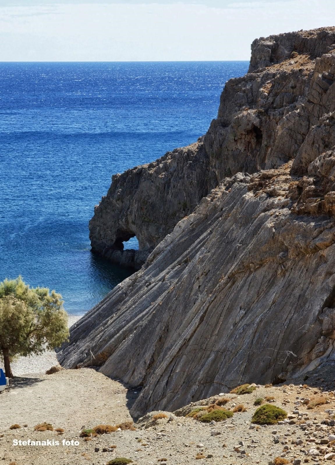
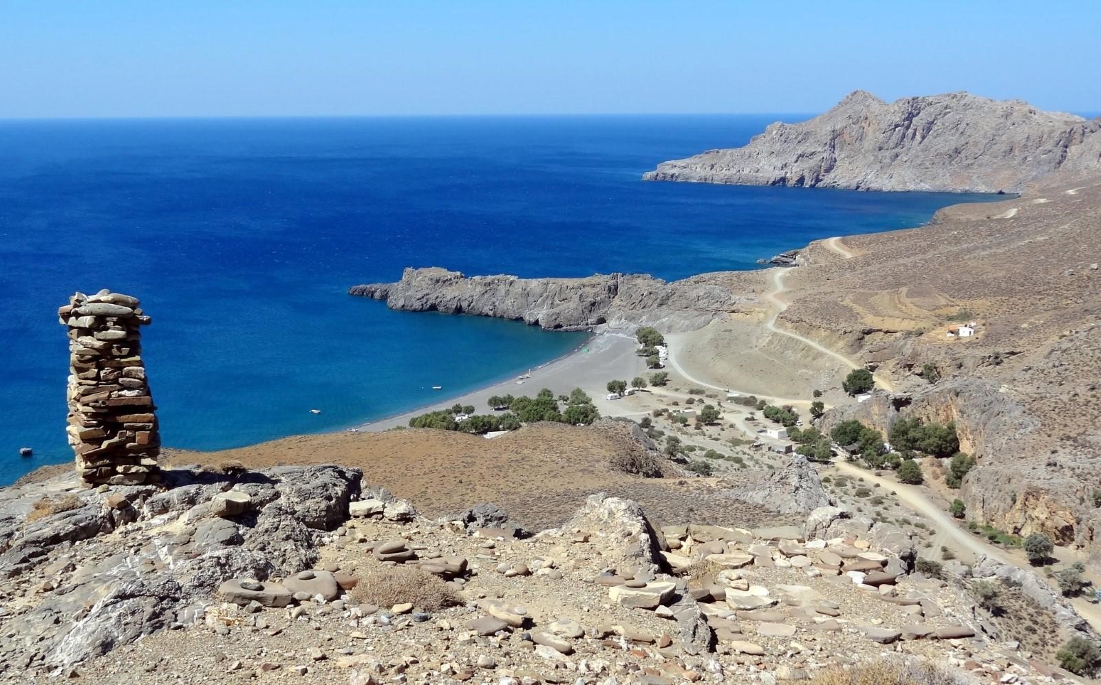
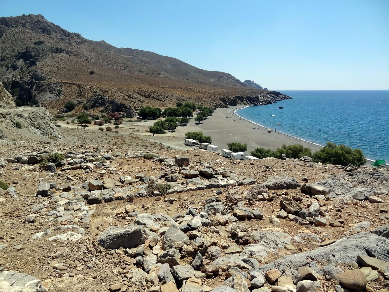
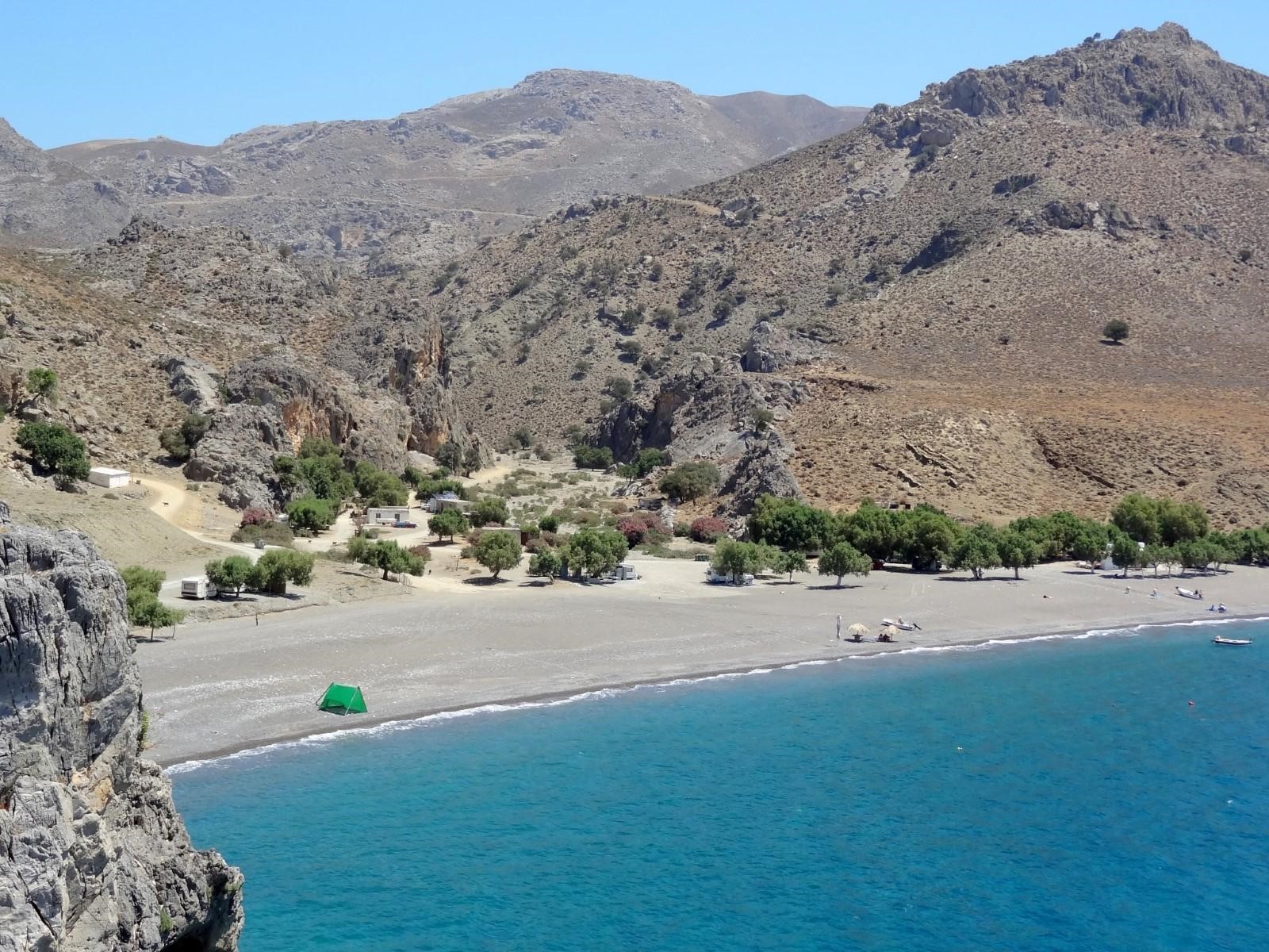
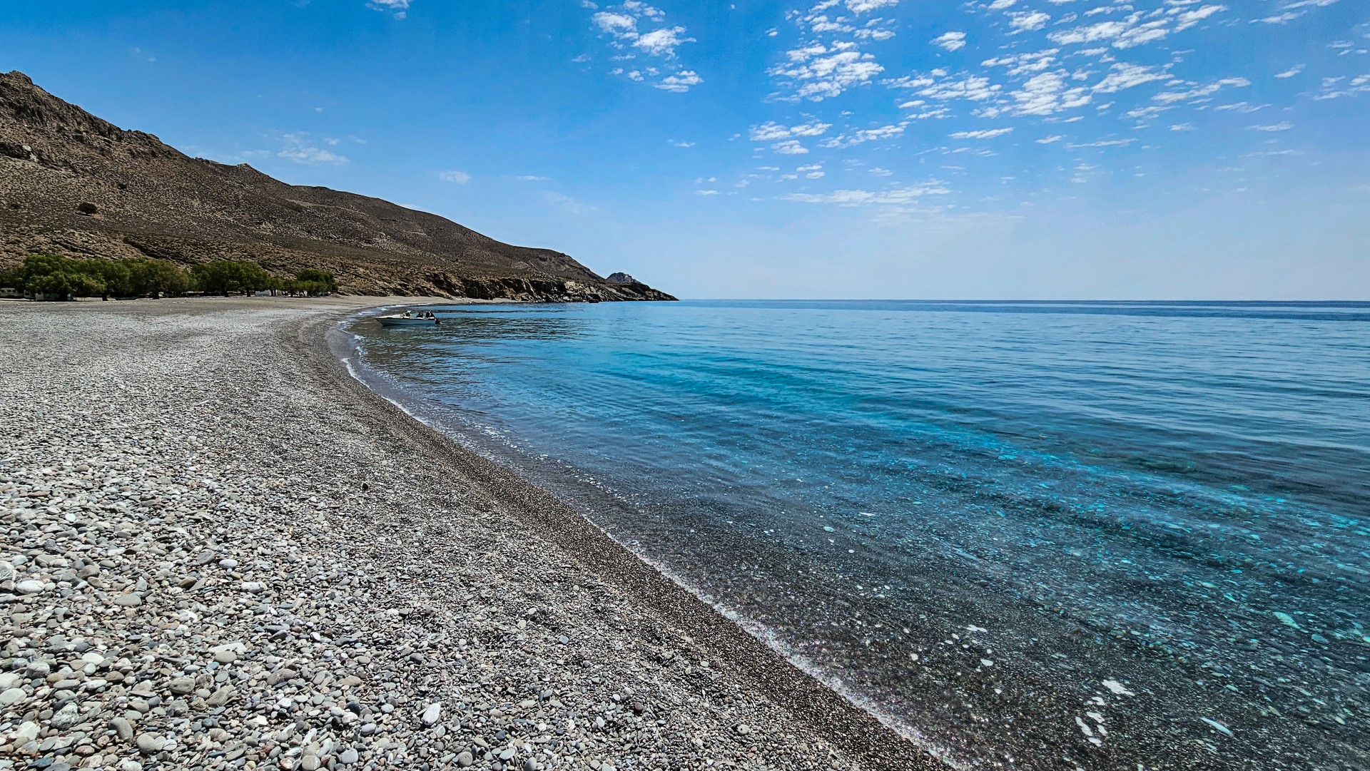
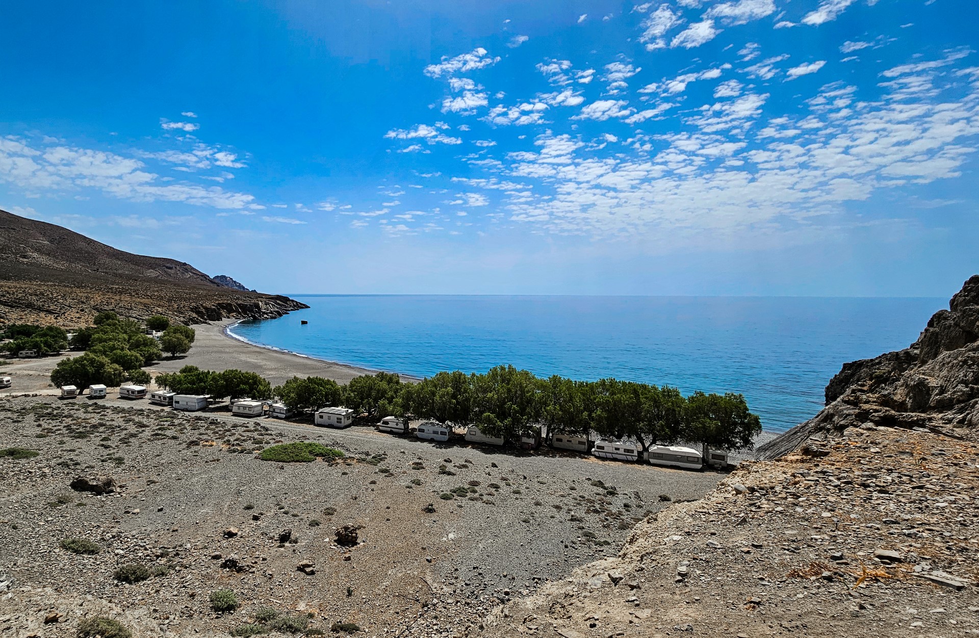
Upon reaching the sea, you will encounter a long and peaceful beach with clean fine pebbles and dark green waters. A few tamarisk trees grow several metres away from the shoreline and provide some natural shade. To the west lies the small Cape Fylakas, where the mooring points of the ancient harbour and several natural caves can be seen. The beach is only slightly organised, although there is a small tavern nearby. It attracts quite a few local visitors, especially in August, some of whom stay in unauthorised structures, while the permanently parked caravans now alter the natural character of the landscape.
On the hill of Papouri, also known as Adami Korfali, northeast of the beach, lie the remains of one of the most important Early Minoan settlements discovered in Crete. Excavations begun in 1986 by archaeologist Antonis Vasilakis revealed a small village with stone-built houses, narrow streets and numerous objects associated with daily life. The low openings of the houses give the site the appearance of a miniature town, while the top of the hill offers panoramic views of the beach. A short distance farther south, in the area of Kalokambos, an ancient Minoan tholos tomb has also been discovered. Traces of ancient installations can also be seen around Cape Fylakas, reflecting the long history of human presence in the bay of Tripiti.


What is near me?
Additional Info
- Sea water color: Blue
- Sand type: Fine Pebbles
- Location: Heraklion Prefecture, Central Crete, South Crete, Messara area (Kainourgiou)
- Depth: Deep
- Sea surface: Usually calm
- Crowds: Normal
- Facilities: Food / water nearby
- Other Information: Ideal for snorkeling / spearfishing, Tree Shade, Rock shade
- Accessibility: Dirt track


