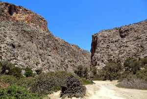
The Asterousia Mountains form the southernmost mountain range in Greece and extend across the southern part of Heraklion Prefecture. This long, narrow range stretches for approximately 60 km between the Messara Plain and the South Cretan Sea. It begins near the Anapodaris River in the east and ends at Cape Lithino, on the western edge of Messara.
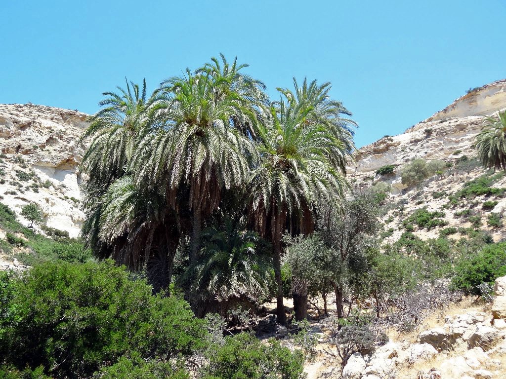
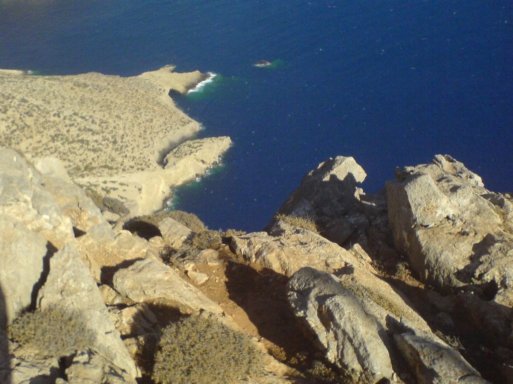
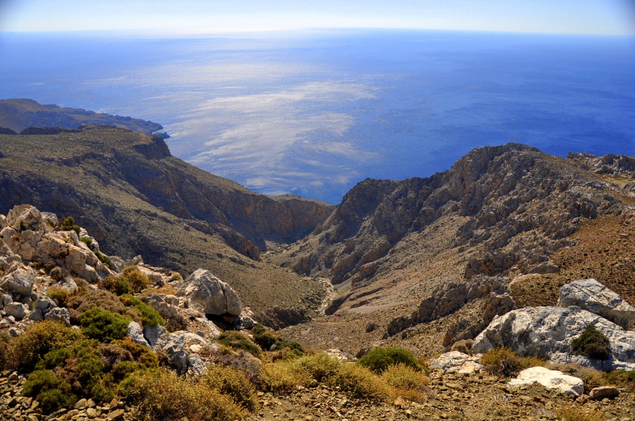
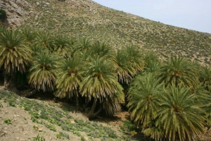
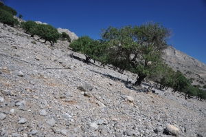
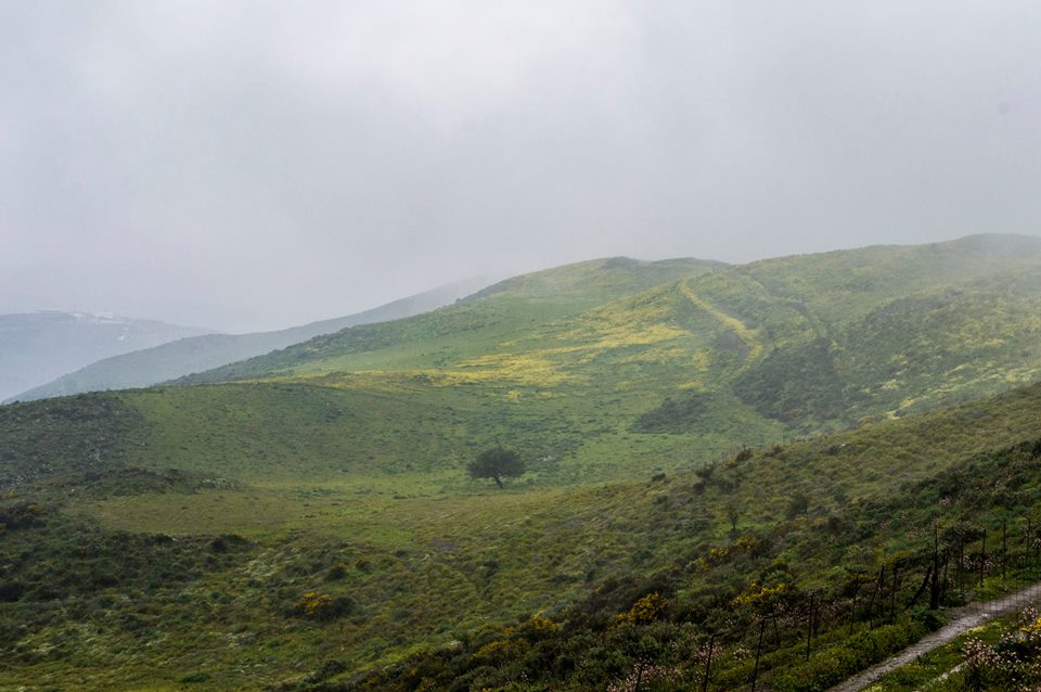
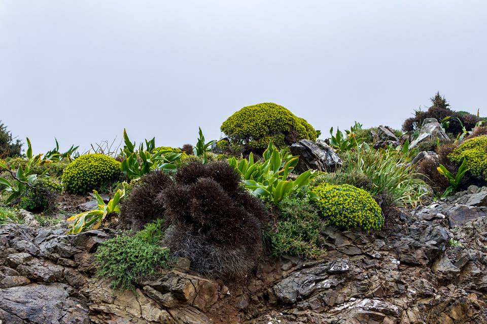
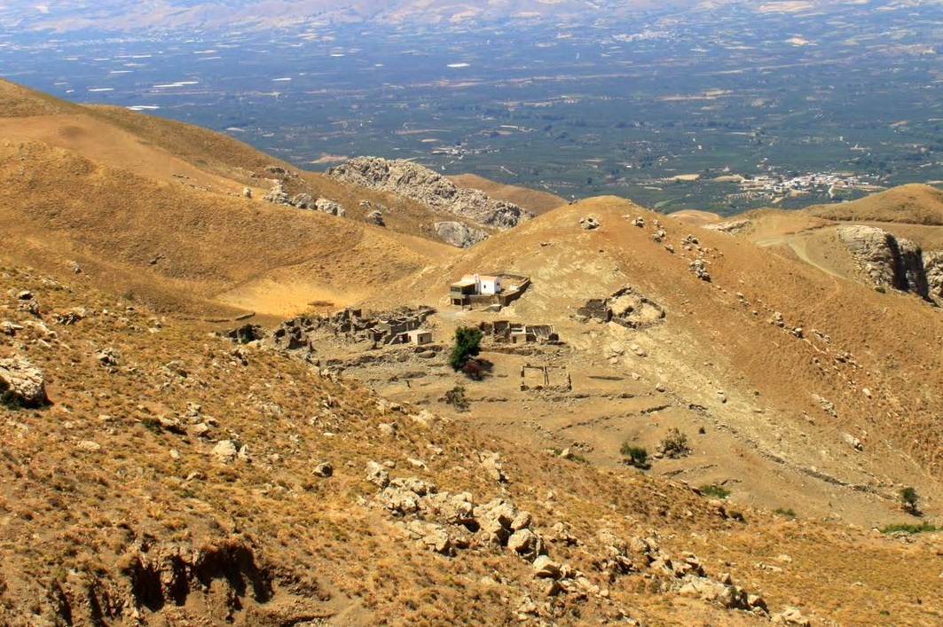
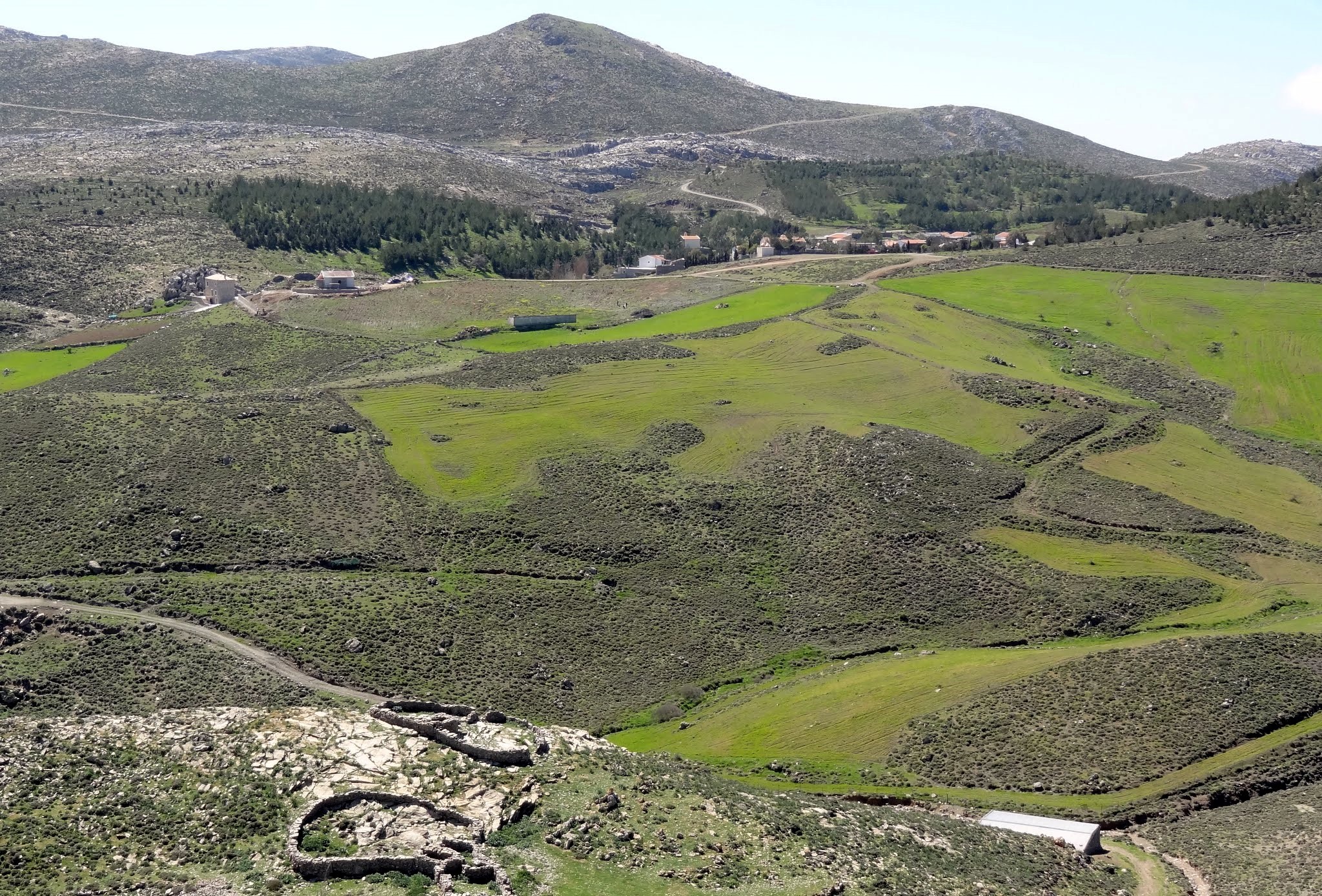
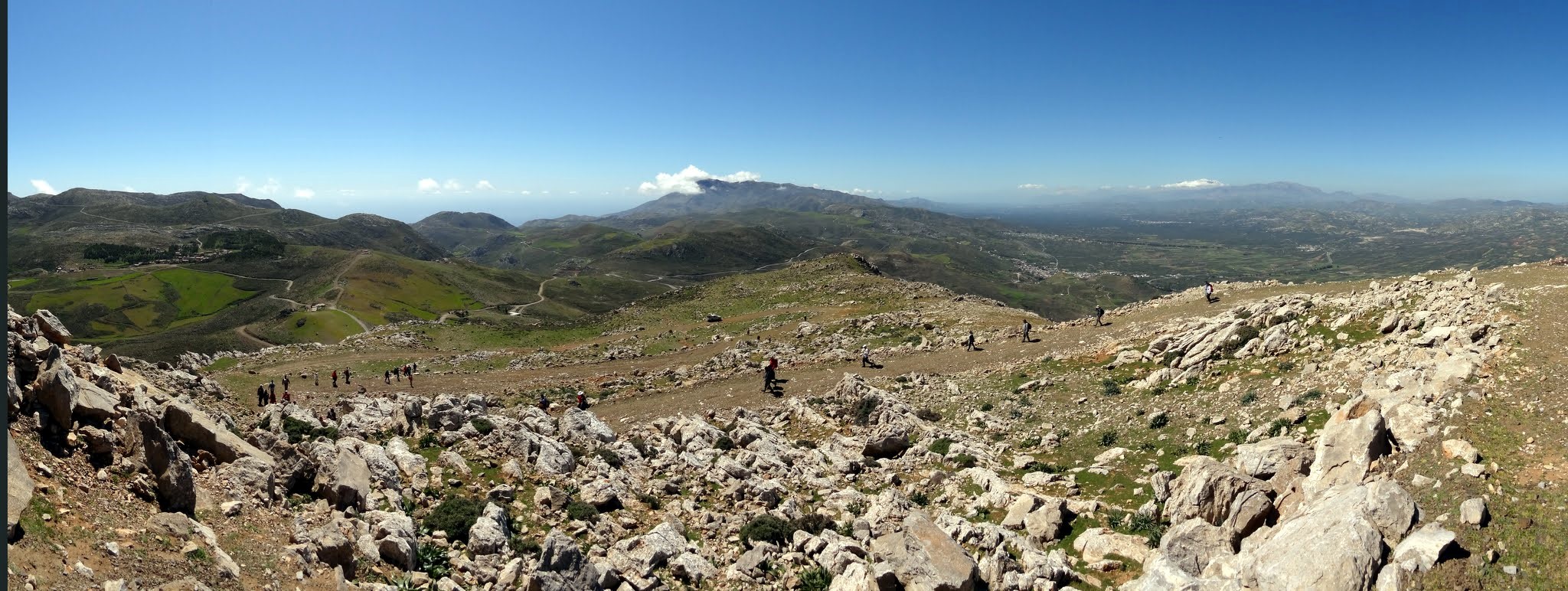
The mountains are not especially high, with their highest summit, Kofinas, reaching 1,231 m. Their terrain, however, is remarkably rugged, with deep gorges, steep ravines and almost vertical cliffs descending towards the sea. The hot, dry climate, limited rainfall and sparse vegetation create an austere and almost otherworldly landscape. Among the bare slopes are small oases with springs, plane trees, palms, carob trees and pines, which provide valuable habitats for numerous plant and animal species.
UNESCO Biosphere Reserve
In 2020, the Asterousia Mountain Range joined UNESCO’s World Network of Biosphere Reserves. The designation covers an area of exceptional natural and cultural value, where rugged mountains, gorges, steep coastlines and important habitats coexist with long-established human activities such as livestock farming, agriculture and asceticism. The region is an important refuge for birds of prey and other protected species, while also preserving traditional settlements, archaeological sites, monasteries, caves and places of worship. As a Biosphere Reserve, Asterousia supports biodiversity conservation, environmental education and sustainable development. This designation should not be confused with inscription on the UNESCO World Heritage List.
Exploring the Asterousia Mountains
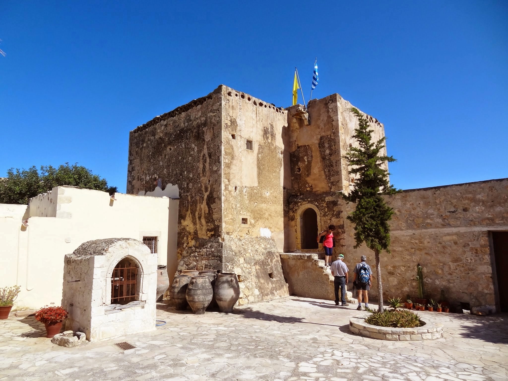
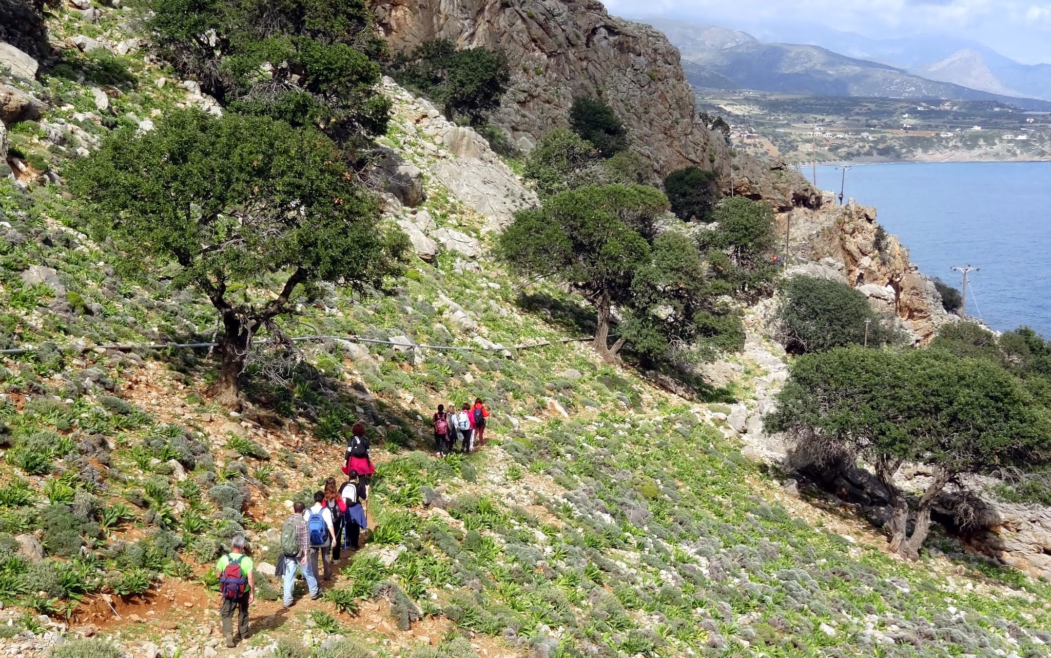
A tour of the range can begin on its eastern side. From Tsoutsouras or the village of Mesochori, visitors can head towards the Monastery of Agios Nikitas, the nearby beach and the small palm grove of Agios Antonios. The wild Achentrias Gorge ends near the small coastal settlement of Maridaki. Walking there from Tsoutsouras is considerably quicker than driving, as the rough road climbs high into the mountains before descending towards the coast.
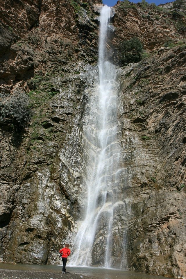
From Pirgos or Ethia, a road leads to Paranymfi and then descends towards the coastal village of Treis Ekklisies. Nearby lies the largest natural carob forest in Crete. Close to Paranymfi is the spectacular Ambas waterfall and gorge. The sheer cliffs surrounding the gorge support one of Europe’s most important island colonies of birds of prey.
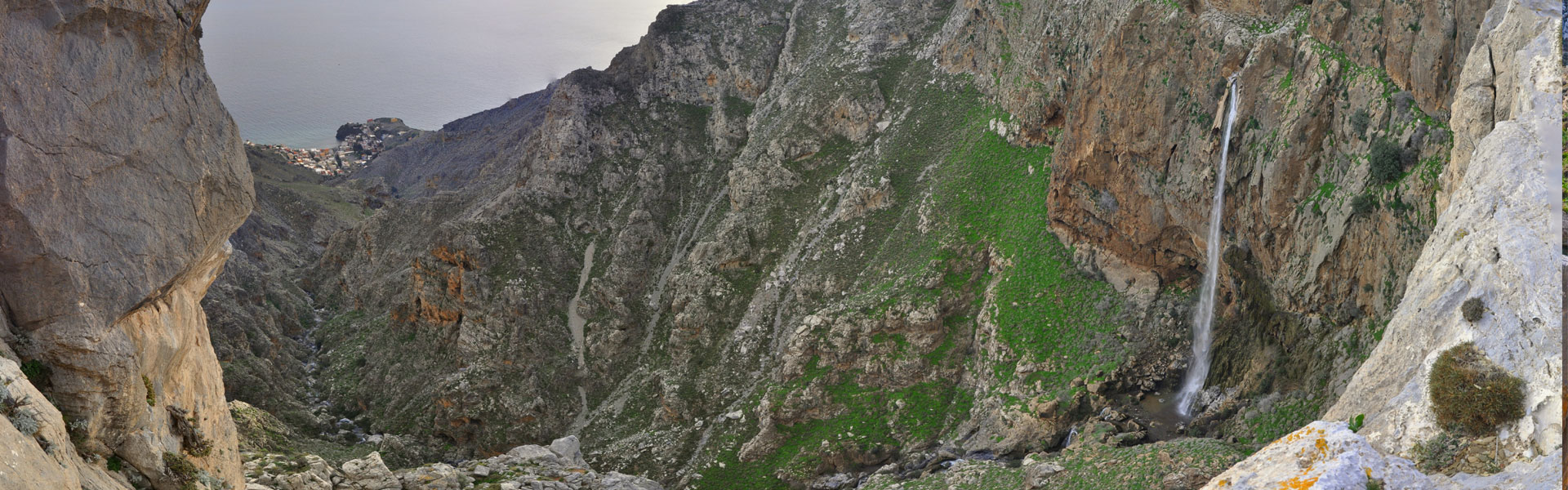
Ambas waterfall near Paranymfi; in winter, Asterousia becomes a land of waterfalls.
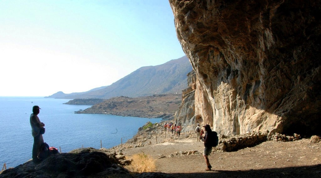
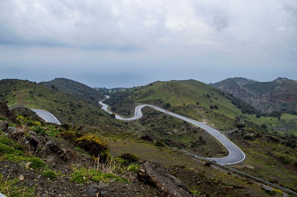
One of the most impressive routes in Asterousia leads from Sternes and Kapetaniana towards the Monastery of Koudoumas. The road passes near Kofinas, the highest summit of the range, before descending dramatically towards the sea through Koudoumas Gorge and a small pine forest. From the monastery, a coastal path continues west towards the Cave of Agios Antonios and the settlement of Agios Ioannis.
Southwest of Vasiliki, a road passes through Tripiti Gorge, crosses the olive forest of Agios Savvas and reaches the beautiful beach of Tripiti through an exceptionally narrow passage. From there, a dirt road continues west towards Krotos and Lendas, crossing one of the driest and most characteristic landscapes of southern Crete.
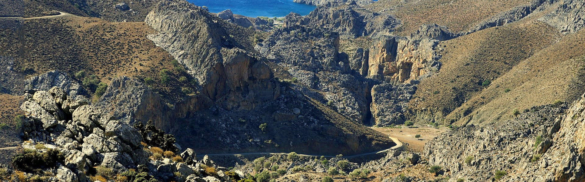
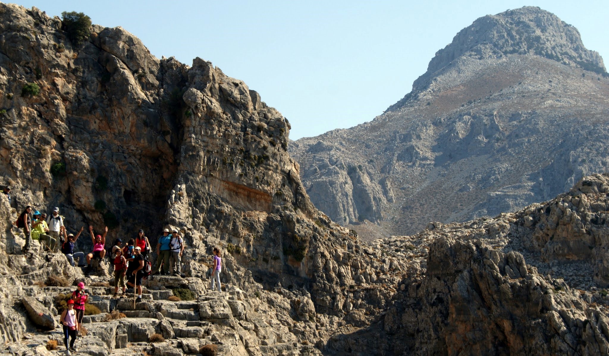
The imposing Tripiti Gorge east of Lendas
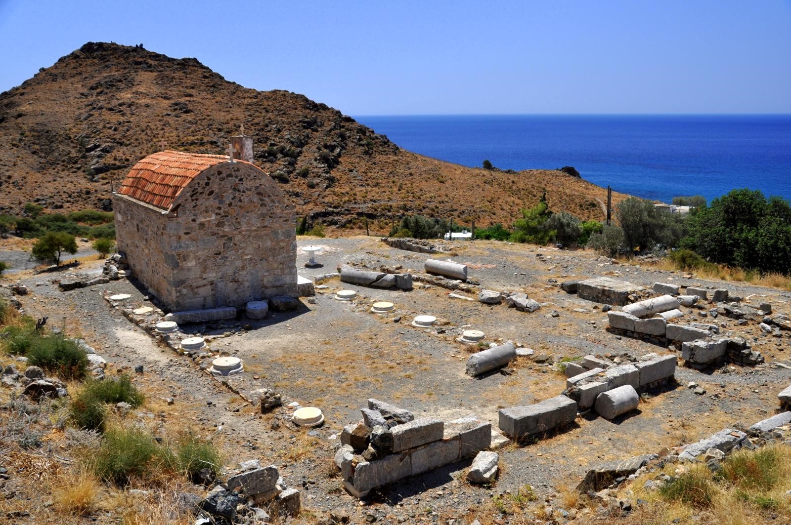
Lendas stands in an area with a history extending back thousands of years. Ancient Levina hosted one of the most important sanctuaries of Asclepius in Crete. According to mythology, this was where Zeus, transformed into a bull, reached Crete carrying Europa on his back. From Lendas, the coastal route continues west through Platia Peramata and Chrysostomos, the site of ancient Lassea, before reaching Kali Limenes. On the hill above the bay stands the chapel of Saint Paul, next to the cave where, according to tradition, the Apostle stayed during his journey to Rome.
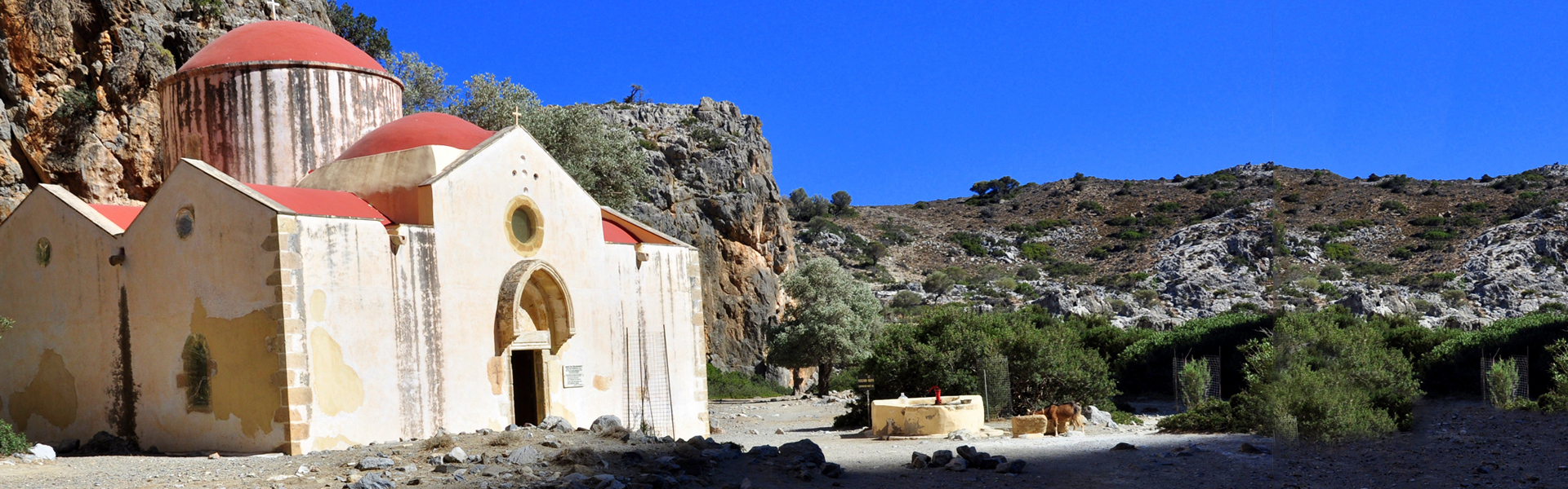
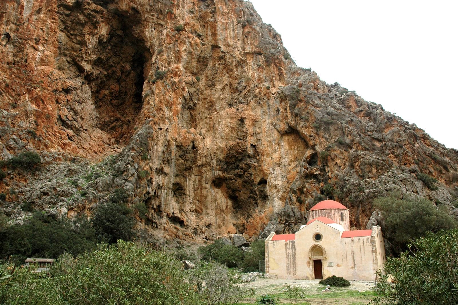
The church of Agios Antonios inside Agiofarago Gorge
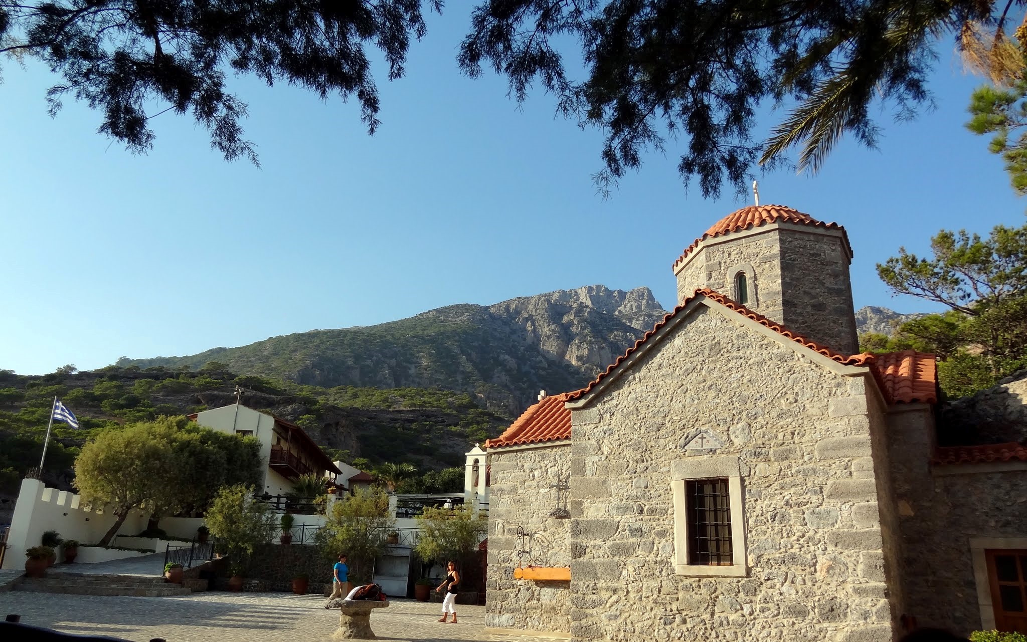
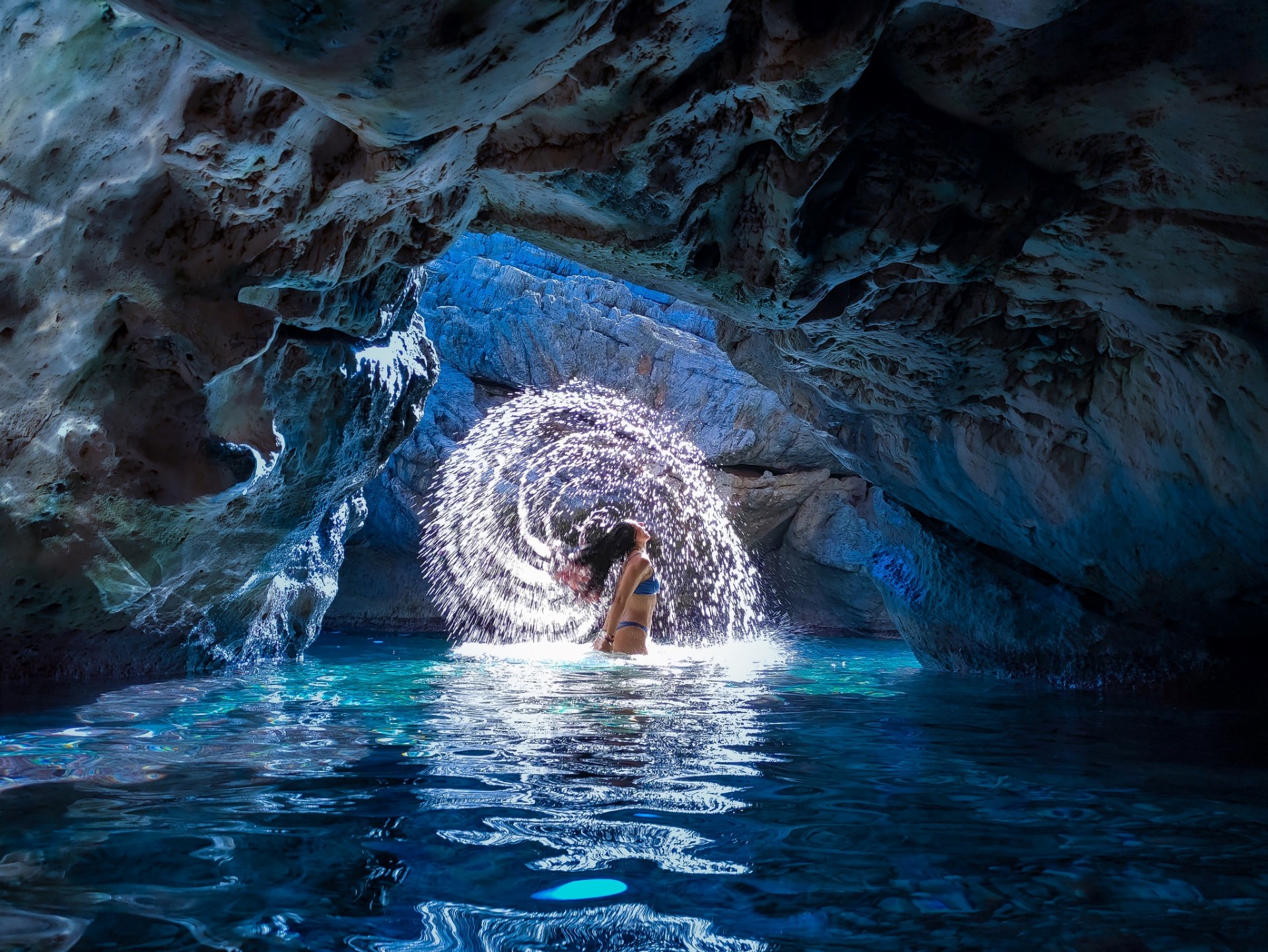
West of Kali Limenes begins one of the most remote parts of Asterousia. The historic Monastery of Hodegetria played an important religious and revolutionary role in the region. Nearby begins Agiofarago Gorge, which leads to the magnificent beach of Agiofarago. The caves along the route were used by hermits for centuries, and the old church of Agios Antonios remains one of the gorge’s most characteristic monuments.
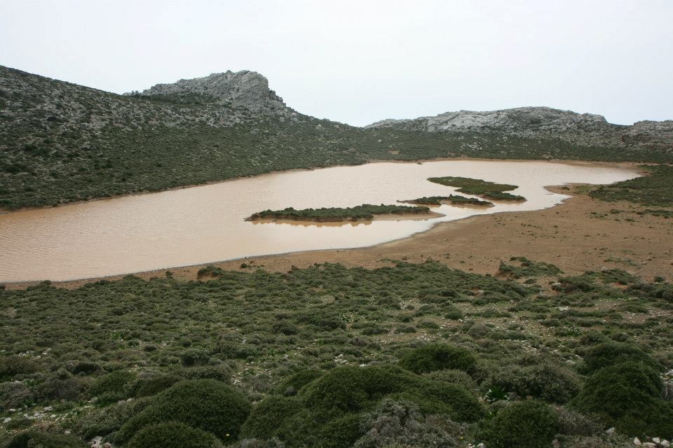
Dirt roads from Hodegetria also lead towards Martsalo Gorge, the rock-cut church of Panagia Martsaliani, a small palm grove and the secluded beach of Martsalo. Farther west are Kefali, with its vertical cliffs above Cape Lithino, and the isolated bay of Vathy, which resembles a small lake. At the western edge of the range lie the famous beaches of Matala and Red Beach, completing one of Crete’s wildest and most fascinating regions.








.jpg)