")


 Kapni Gorge
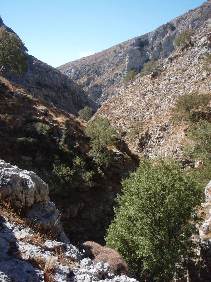
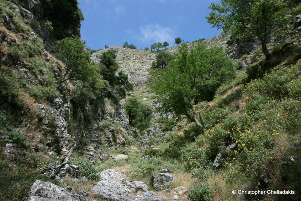
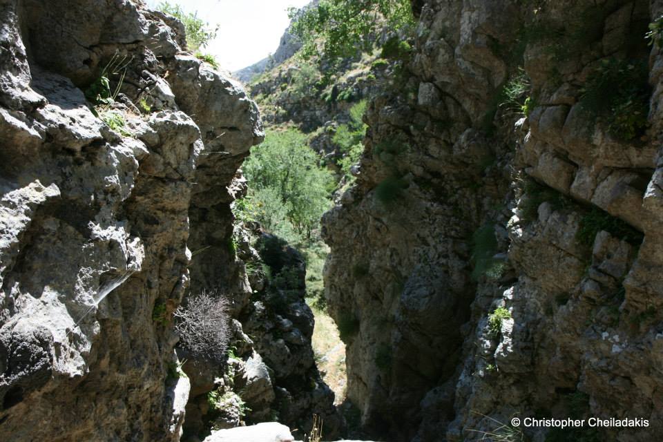
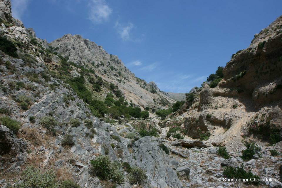
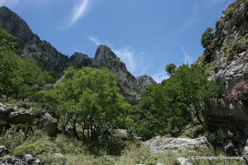
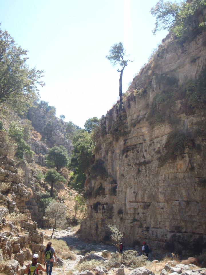
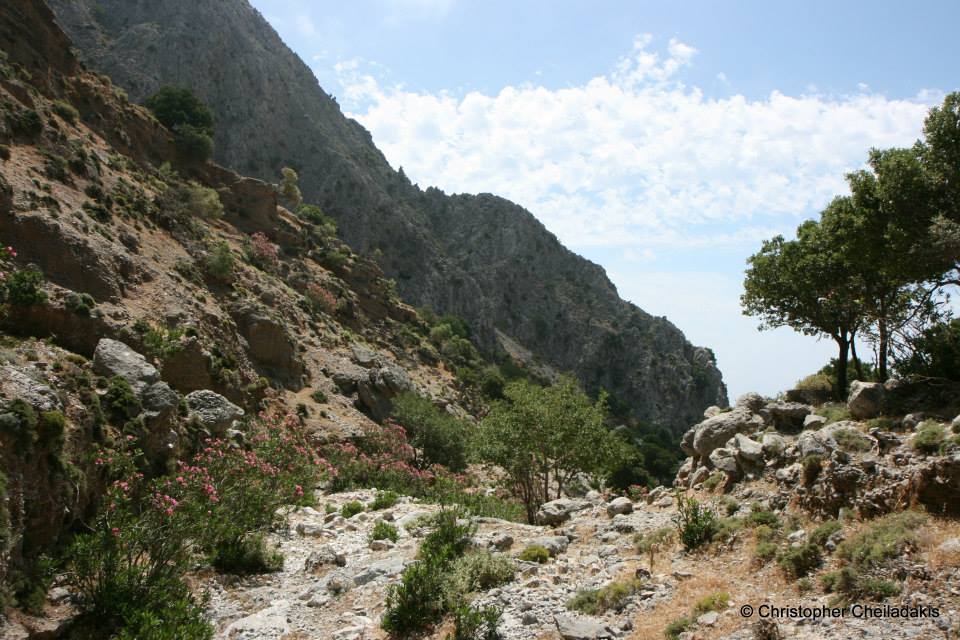
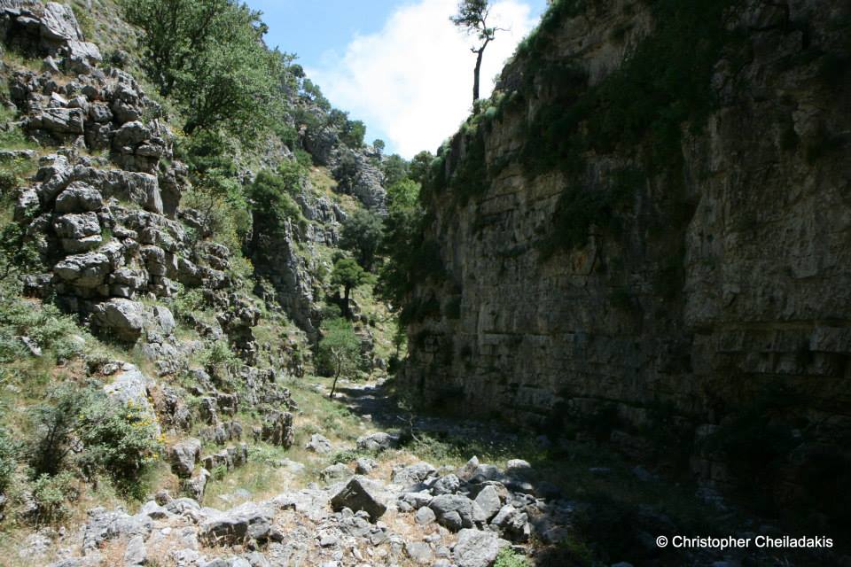
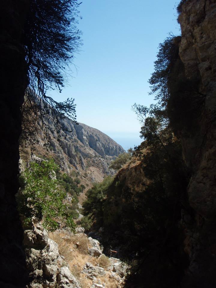
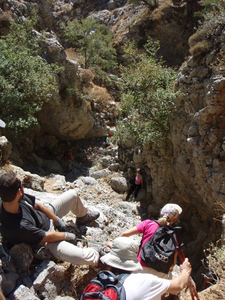
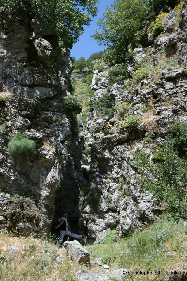
The gorge of Kapni is one of the most spectacular canyons of Eastern Sfakia and remains totally unknown to most people. The starting point of the open stream of Kapni, that slowly turns to a canyon, is located south of the peak Akones at position Hionistra, on the road between the villages and Askyfou and Asfendou. Its exit is located in the village Nomikiana, Sfakia province. In Chionistra there are two different streams in calcareous soils which after one hour walking each merge to form the gorge of Kapni. The canyon is quite long and walking in it takes about 4 hours. It is one of the difficult and dangerous trekking gorges of Crete with craggy riverbed which in some places creates dry waterfalls and requires climbing.
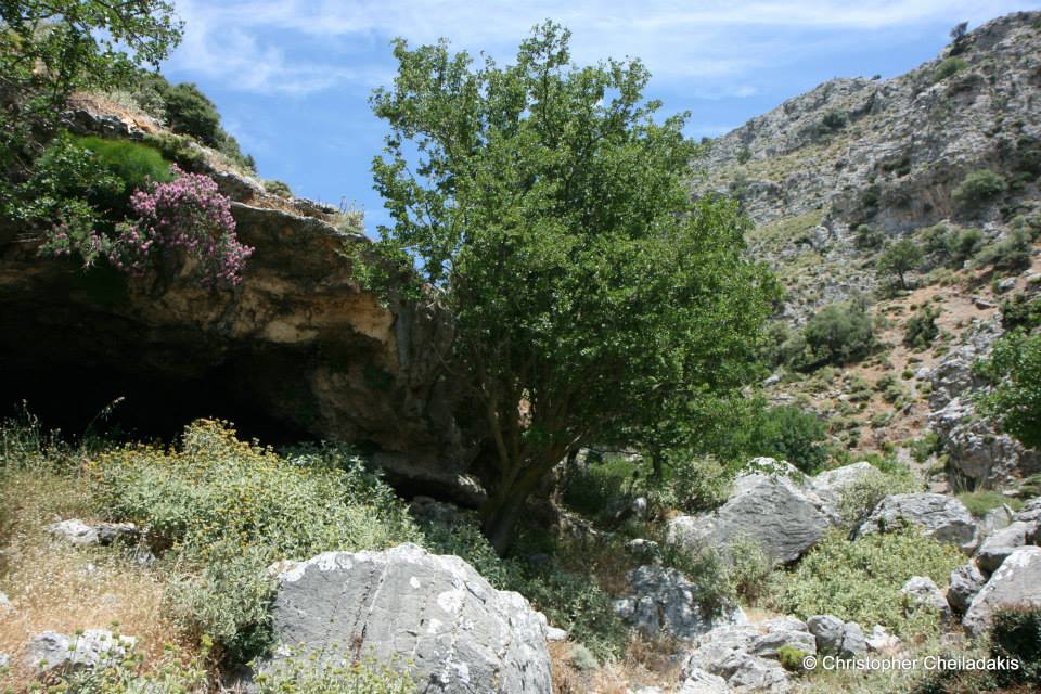
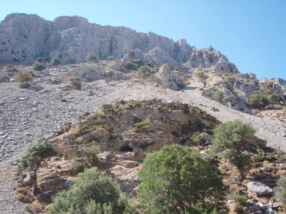
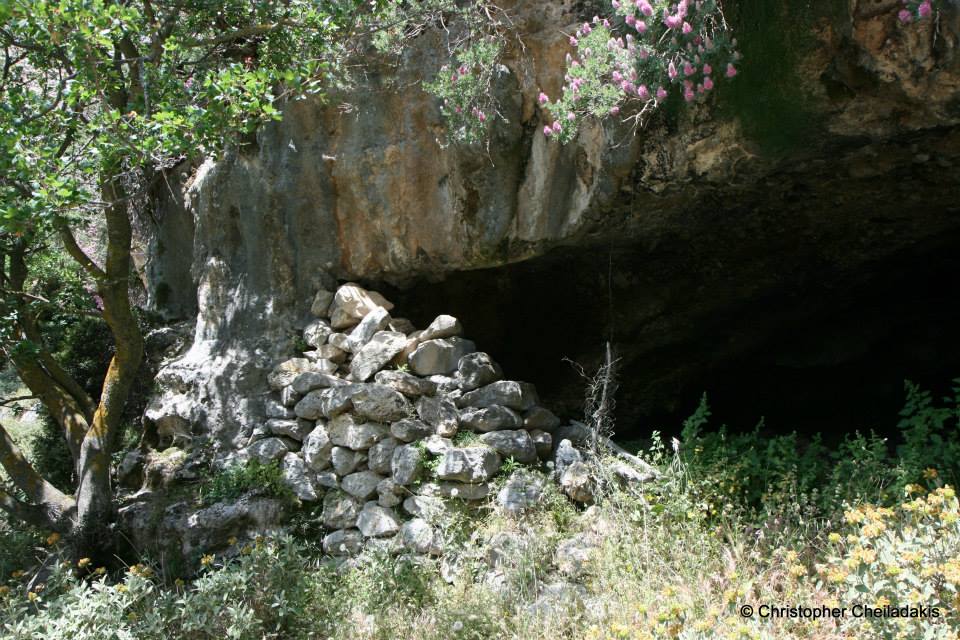
It is not recommended for people who have no experience with mountaineering. Its bed creates some small caves which in earlier times were used like mantres (sheep folds). In one of the caves there is drinking water, the only drinking water across the inhospitable region of Kapni. This water position cannot be identified by someone who does not really know the area very well. Kapni has in several places beautiful vegetation with maples and oak tree and beautiful walls of platy limestone.
The name (kapni means smoke) derives from the following story. During the Venetian era East Sfakia was covered by extremely dense forests. The woodlands could serve as shelter for Cretans who fought against the Venetians. The Venetians in order to solve that problem decided to burn these forests, so they managed to cremate the forest covering the area of Kapni. It was so virgin and dense, that it is said that the fire was burning the area for weeks. Because the gorge is very narrow an oven phenomenon took place, i.e. the fire was trapped inside the wall and the temperature increased at very high levels. The high temperatures that lasted for days, “baked” the rock of the mountain as it happens in a lime kiln. This phenomenon lasted for days and smoke covered the area for many days after the fire stopped. In the autumn of that year, after the fire, it is said that an unprecedented flood found the hillsides bare and the literally roasted cracky stones, thus the water moved rocks with incredible power to the exit of the gorge. It was such a great amount of sediment deposition that formed the largest and most impressive sara (scree in local dialect) in Crete, which is visible from many miles away. This scree starts right at the exit of the gorge and ends in the village Nomikiana.

What is near me?
Additional Info
- Length (km): 5
- Type: Hiking gorge
- Location: Chania Prefecture
- Water: Generally dry
- Difficulty (0-10): 4
- Altitude difference (m): 820
- Hiking Hours: 4
- Accessibility: Dirt track


