








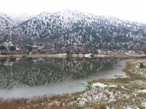
On the southern side of the Omalos Plateau in the White Mountains and between the starting point of the Samaria Gorge and Seliniotikos Giros, a seasonal lake of about 0.8 hectares is formed, which is covered by snow in winter. More small lakes are formed on the plateau in winter, with this one being the largest.
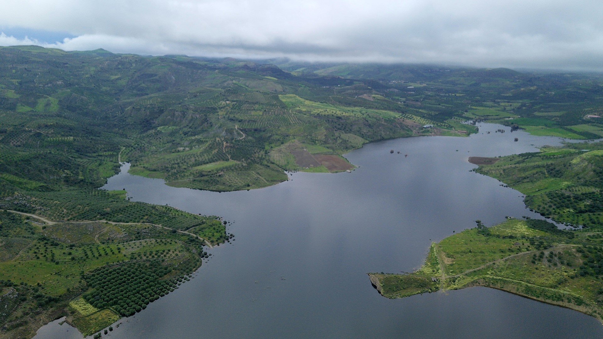
The Plakiotissa Dam is located in eastern Messara near the settlement of Plakiotissa in the province of Monofatsi. It is located in the Treis Potami (Three Rivers) region and collects the waters from the area south of Metaxochori.
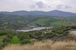
The dam of the Chalavrianos River is located in the rural area of Halavra in the district of Pano Archanes, south of Range Giouchtas, between the villages Houdetsi and Profitis Ilias. The Chalavrianos torrent, which feeds this artificial lake, is a tributary of the River Giofyros.
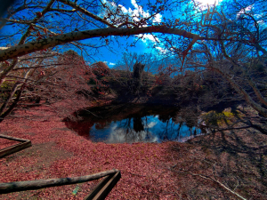
At the entrance to the village Limni in the province of Kissamos, near Elos, we meet a small beautiful pond from which the village takes its name (limni is lake in Greek). Paths with large wooden platforms have been formed around it.
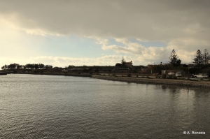
One of the highlights of ancient Ierapetra was the Naumachia (naval battle), a maritime theater where bloody battles were performed by prisoners and slaves of the Roman Empire. This was the transfer of arenas to the marine environment. The Naumachia was inspired by Julius Caesar in 46 BC.
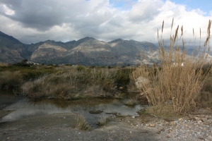
In winter the area turns to a very important wetland. The whole area of Vatalos is full of reeds and covers a distance of 2 kilometers with ponds full with amphibians and birds... In several places the water is kept throughout the year, but the best time to go there late February to early May.
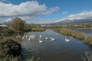
The small lake of Katalyki (Kato Alyki) is located next to the beach of Kokkinos Pyrgos, about 2 km west of Tymbaki. The wetland formerly constituted a united wetland with the Geropotamos delta, but the road construction, water decrease and land use for building Tymbaki airport have separated it from the main delta
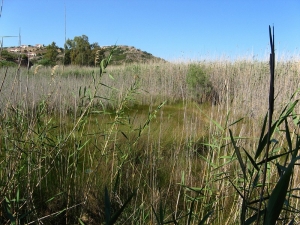
The wetland of Almyros is very close to the town of Agios Nikolaos, making it a real paradise for the area. It is a marshy area of 48 acres that is permanently watered with brackish water from karst springs. The average annual flow rate is about 2000 liters per second.
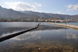
On the road that connects Elounda with Kolokitha peninsula, on the site of the ancient city Olous, we meet the Venetian salt pans that functioned until 1972. We see dozens of cisterns separated by walls in the shallow sea, where water from the lagoon of Elounda was trapped early spring and evaporated till September.
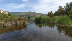
The lake and the river Almyros in the area of Georgioupolis form one of the most important wetlands of western Crete. In the lake, we find many aquatic birds and aquatic plants like reeds, myrtles, and oleanders. The lake is natural and is watered by the water of the White Mountains. The bank has been formed in order to assist in the operation of a small 300kW hydroelectric power station.

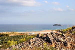
500m east to Xerokambos you will find one of the weirdest landscapes on Crete. Here you will see a large dry lake next to the sea. You may not get very excited on summer, but if you come here in spring or in winter, you will understand why this is so important. In the winter Alatsolimni (Salt Lake), as it is called, is flooded with water, forming a small lagoon.
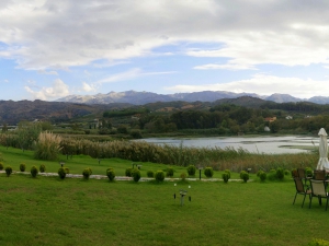
The artificial lake of Agia (Ayia) is located near the village of Agia, 9 km west of Chania. It is a small lake of 450 acres, which is close to the valley of Fasas. This valley is considered as the most humid of Crete. Agia lake receives water from underground springs and the river Xekolomenos.
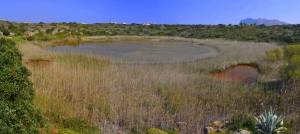
The pond of Maherida is located at the area of Tersanas in Akrotiri, just 14km east of Chania city, next to the stunning beach of Maherida. It is an impressive karstic doline, where springs with brackish water gush.
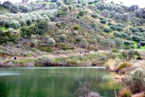
The dam of Faneromeni is located 7km west of the village of Zaros and about 7km north of Tympaki. It is located in a scenic location, in a verdant valley at the southern foot of Psiloritis Mount. The artificial lake covers an area of approximately 1000 acres and has a capacity of 20 million cubic meters.
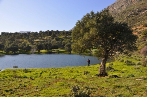
The pond of Orne village is located at an altitude of 300m at the southeastern slopes of Mount Kedros, only 500m northeast of the village Orne. The distance from Rethymnon is about 50km.
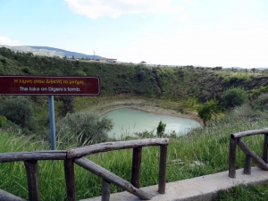
The lake at Digheni’s Tomb, adjacent to the artificial lake of Gergeri, is a special case of a seasonal wetland that has water in winter and dries up in the summer. The natural cavity where it is located has the form of an inverted cone. Although the swamp is isolated, it maintains populations of amphibians, tortoises and birds.
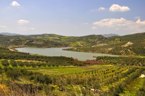
Amourgelles dam is situated at an altitude of 300m, 30km south of Heraklion and 1km south of the village Amourgelles. It spans an area of 150 acres and is one of the major dams in the region of Arkalochori.
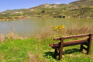
The dam of Partira is situated 32km south of the city of Heraklion and west of the village Partira at an altitude of 300m. Its construction was completed in 2000 and today the capacity reaches 380000 sq.m. of water. The dam gathers the water from Patsideros river, a tributary of Anapodaris river.
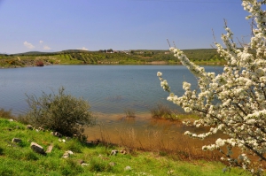
The dam of Ini – Mahera is located 38km south of Heraklion and next to Mahera and Ini villages. It was constructed in 2004 and has a capacity of 1750000 cubic meters.
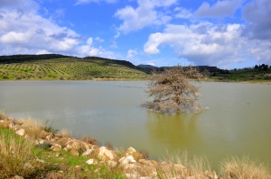
Armanogia is a small village located at an altitude of 380m and 38km south of Heraklion city. Next to the village, in 2004, a small dam was built. The lake of the dam covers an area of 120 acres.
Also read:
- Home
 Beaches
 Nature
 Past
Past Destinations
 Highlights
 West Crete
- Central Crete
- East Crete
- Towns
- Chania Prefecture
- Chania
- Paleochora
- Kissamos
- Georgioupolis
- Chora Sfakion
- Loutro
- Rethymnon Prefecture
- Rethymnon
- Agia Galini
- Plakias
- Spili
- Anogia
- Heraklion Prefecture
- Heraklion
- Hersonissos
- Malia
- Matala
- Agia Pelagia`
- Archanes
- Kokkinos Pirgos
- Lassithi Prefecture
- Agios Nikolaos
- Elounda
- Sitia
- Ierapetra
- Makrigialos
- Palekastro
- Zakros
- Lassithi Plateau
- Get Prepared


