








The current city of Ierapetra is built on the site of the ancient city of Ierapytna. Its current name Ierapetra was preceded by other names such as Kyrva, Kamiros, Pytna, and Ierapytna.

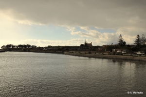
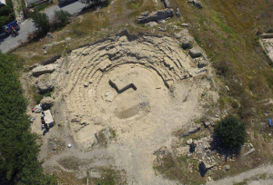
One of the highlights of ancient Ierapetra was the Naumachia (naval battle), a maritime theater where bloody battles were performed by prisoners and slaves of the Roman Empire. This was the transfer of arenas to the marine environment. The Naumachia was inspired by Julius Caesar in 46 BC.

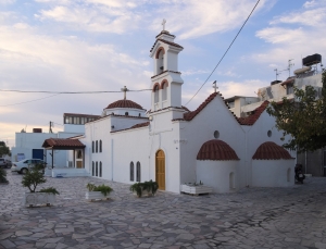
The double aisled temple of Jesus Christ our Savior (Afendis Christos) and Saint Charalambos is located in the district of Kato Mera, near the port of Ierapetra and very close to the fortress of Kales. It is the oldest temple in the city, which has taken its present form as a result of successive interventions.
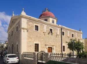
The church of Saint George in Ierapetra is the most important in the city and Saint George is the patron saint of Ierapetra. The church is three-aisled with a dome on a high drum and follows the architectural standards of the Turkish occupation.

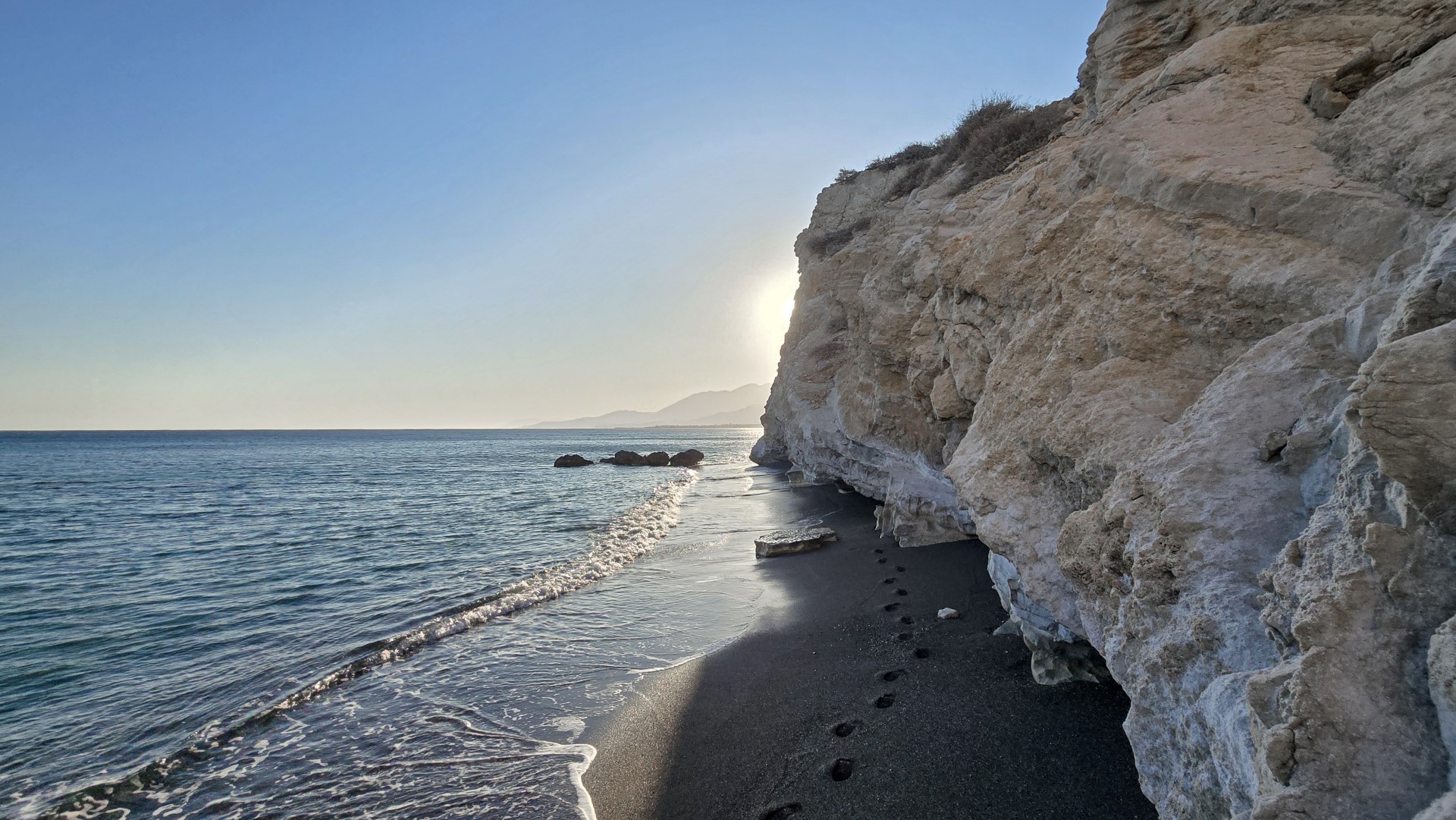
The beaches formed here are surrounded by high cliffs with caves and soft rocks, which protect bathers from prying eyes. The seabed in some places is quite rocky, while the sea is rarely rough.

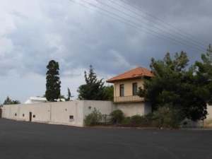
The monastery of Ayiasmenos (Hallowed, Sanctified) is located 2km north of Ierapetra, near the main road connecting the town with Pahia Ammos. The church of the monastery is dedicated to Agii Pantes (All Saints) and in the late 19th century it hosted the home of the Bishop of Ierapetra and Sitia.
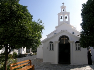
The Monastery of Panagia Faneromeni (i.e. Revealed Holy Mary) or Virgin Mary of Gournia is located northwest of Pachia Ammos, 24km south of Agios Nikolaos. It is a male monastery built on a steep slope at an altitude of 540 meters with stunning sea views. The monastery church is built inside a cave.

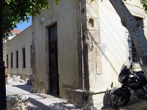
The archaeological collection of Ierapetra began to be formed in the late 19th century, when its antiquities-loving residents founded the Educational Association of Ierapetra, whose purpose was to gather and preserve the region’s antiquities, as well as to create a museum collection.

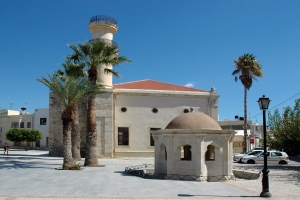
The mosque was built in the old city (Kato Mera) at the end of the 19th century, when the Turks conquered Ierapetra and modified the church of Agios Ioannis for their religious purposes. It is held to date in a pretty good condition.
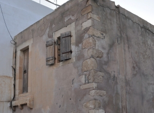
In the summer of 1798 the French Emperor Napoleon Bonaparte conducted his campaign against the Mamluks in Egypt to protect the French trade in the region and to block the access of the Brits in India. During his trip to the east it is said to have stayed for a night in a house in Ierapetra.
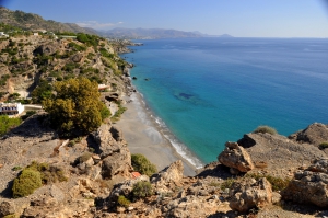
Agia Fotia, one of the favorite beaches of all Cretans, is located 45km southeast of Agios Nikolaos and 12km east of Ierapetra. It is a small bay formed at the mouth of a small stream that descends from the surrounding mountains. The settlement takes its name after the local Church of Agia Fotini (or Agia Fotia). The area is hidden in plane trees and tamarisks, while the bay is surrounded by high mountains and cliffs that create a magic scenery.
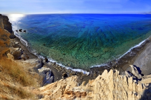
The east end of the long Ierapetra beach is called Livadia, and beyond this, is called Peristeras. This is a secluded area with high cliffs surrounding it. The beach is sandy and has several smooth rocks in places. You can reach the easternmost part of Saint Andrew by walking from the road. However, there is a second sandy beach in Peristeras, just behind the rocky end of the long beach, that can be accessed by the road. This is very well protected by prying eyes, but there are many rocks.
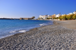
Ierapetra is located 35km southeast of Agios Nikolaos and is the southernmost city of Greece. It is built in one of the warmest areas of Crete, which makes it very popular for holidays, even until the end of autumn. The wider area of Ierapetra is famous for its beaches, stretching along a vast beachfront. Almost all of them are covered by the characteristic fine black pebbles, which do not stick in the leg, and the sea is usually flat.
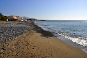
Gra Ligia is a seaside village located just 5km west of Ierapetra and 39km south of Agios Nikolaos. It is situated at the exit of a large fertile valley, which is full with greenhouses with early vegetables. Locals were the first to grow vegetables in greenhouses and this was later extended throughout the area of Ierapetra. There are so many greenhouses, that locals call Gra Ligia as “Silicon Valley of Greece”.

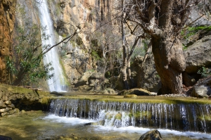
The Gorge of Mylonas or Agios Ioannis is located 18km east of Ierapetra. It starts near the village Agios Ioannis, at an altitude of 500m, and ends at the beach of Kakia Skala.
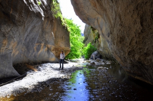
16km west of the Ierapetra is the traditional village of Mythi. At a short distance from the village, the small Sarakina Gorge starts, which ends near the Mirtos. The length of the canyon reaches 1.5km and its width ranges from 3 to 10 meters, with only a few points exceeding that.

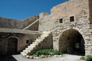
The fort Kales was built by the Venetians in the 13th century AD, to protect the town of Ierapetra from its enemies. In 1508 it was destroyed by an earthquake and the Turkish raids. The damage was not repaired, perhaps because it was very serious and there was no funding.

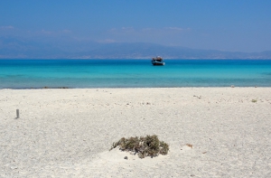
The thousands of visitors arriving daily by boat from Ierapetra to Chrissi island mainly swim on the beach of Belegrina or Golden Beach. Bright blue waters, white sand with pink shades from the thousands of broken shells, and the junipers that hold the sand with their huge roots are the backdrop that makes anyone fall in love with this place.
Also read:
- Home
 Beaches
 Nature
 Past
Past Destinations
 Highlights
 West Crete
- Central Crete
- East Crete
- Towns
- Chania Prefecture
- Chania
- Paleochora
- Kissamos
- Georgioupolis
- Chora Sfakion
- Loutro
- Rethymnon Prefecture
- Rethymnon
- Agia Galini
- Plakias
- Spili
- Anogia
- Heraklion Prefecture
- Heraklion
- Hersonissos
- Malia
- Matala
- Agia Pelagia`
- Archanes
- Kokkinos Pirgos
- Lassithi Prefecture
- Agios Nikolaos
- Elounda
- Sitia
- Ierapetra
- Makrigialos
- Palekastro
- Zakros
- Lassithi Plateau
- Get Prepared


