
Museum of Cretan Ethnology
The Museum of Cretan Ethnology at Vori consists of an exhibition complex and a Research and Conference Center. The exhibition is housed in a two storey building and consists of 3000 exhibits.





Tymbaki is a busy agricultural town on the Messara Plain, in the historic province of Pyrgiotissa, close to important beaches, wetlands and archaeological sites.
Tymbaki lies approximately 65 km southwest of Heraklion, on the western side of the Messara Plain. It is one of the main agricultural centres of southern Crete, surrounded by extensive olive groves, vegetable fields and greenhouses. A significant part of the produce grown in the area is distributed throughout Greece or exported abroad.
The beach of Kokkinos Pirgos is only a short distance away, while the Minoan Palace of Phaestus and the Minoan villa of Agia Triada are also easily accessible. The large Church of Saint Titus stands near the centre of the town, around which much of its commercial activity is concentrated.
Tymbaki during the Second World War
The modern appearance of Tymbaki is closely connected with the events of the German occupation. In early 1942, the German forces ordered the evacuation of the settlement, forcing its families to seek shelter in the surrounding villages. Most of the houses were demolished, and building materials taken from them were used in the construction of the nearby military airfield.
The airfield was intended to support Axis operations in North Africa and the Mediterranean. Forced labour from the wider area was employed during its construction, while the installations were repeatedly targeted by Allied bombing. After the war, Tymbaki had to be largely rebuilt, which explains why relatively few older buildings survive in the town today.
Geropotamos and Katalyki
The Geropotamos River, the principal river of the Messara Plain, reaches the sea near Tymbaki. Close to its mouth and Kokkinos Pirgos lies the small Katalyki wetland, an important stopover for waterbirds and migratory birds. In earlier times, the marshes of the area encouraged the spread of malaria and restricted the development of the coastal settlements.


Straight-line distances
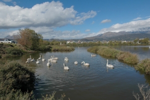 2 km
Katalyki Lake
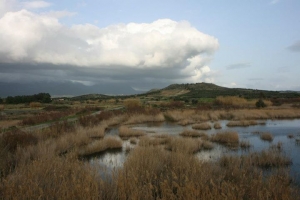 2.1 km
Geropotamos River
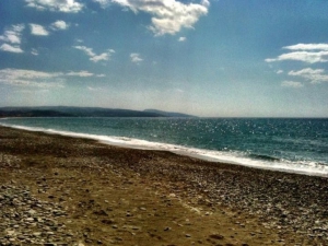 2.3 km
Kokkinos Pirgos beach
 2.6 km
Holy Trinity Church at Agia Triada near Festos
 2.7 km
Agia Triada Royal villa
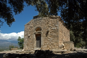 2.7 km
Church of Saint George in Agia Triada
 2.9 km
Pahia Ammos beach (Afratias)
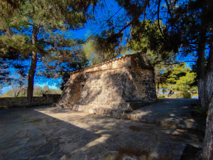 3.2 km
Saint George Kontaras church at Vori
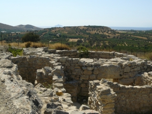 3.5 km
Kamilari Domed Tomb
 4.1 km
Museum of Cretan Ethnology
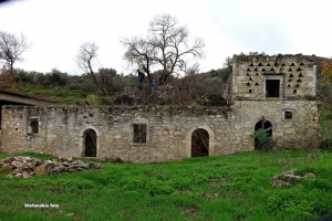 4.3 km
Gerontomilos Watermill at Phaestus
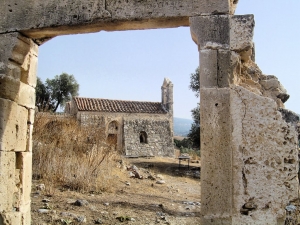 4.4 km
Panagia Kardiotissa monastery, Vori
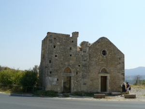 4.5 km
Saint George church at Falandra near Phestos
 4.7 km
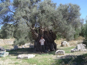
Kamilari Olive tree (Mana)
 4.8 km
Phestos Palace
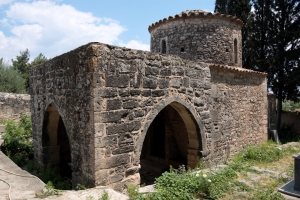 4.9 km
Baptistery of Saint Paul at Agios Ioannis
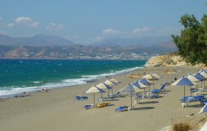 4.9 km
Kalamaki beach
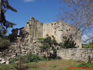 4.9 km
Agriolidis Tower




 Beaches
 Nature
 Past
 Destinations
 Highlights
 West CreteCentral CreteEast CreteChaniaPaleochoraKissamosGeorgioupolisChora SfakionLoutroRethymnonAgia GaliniPlakiasSpiliAnogiaHeraklionHersonissosMaliaMatalaAgia Pelagia`ArchanesKokkinos PirgosAgios NikolaosEloundaSitiaIerapetraMakrigialosPalekastroZakrosLassithi Plateau


