









 Elafonissi beach
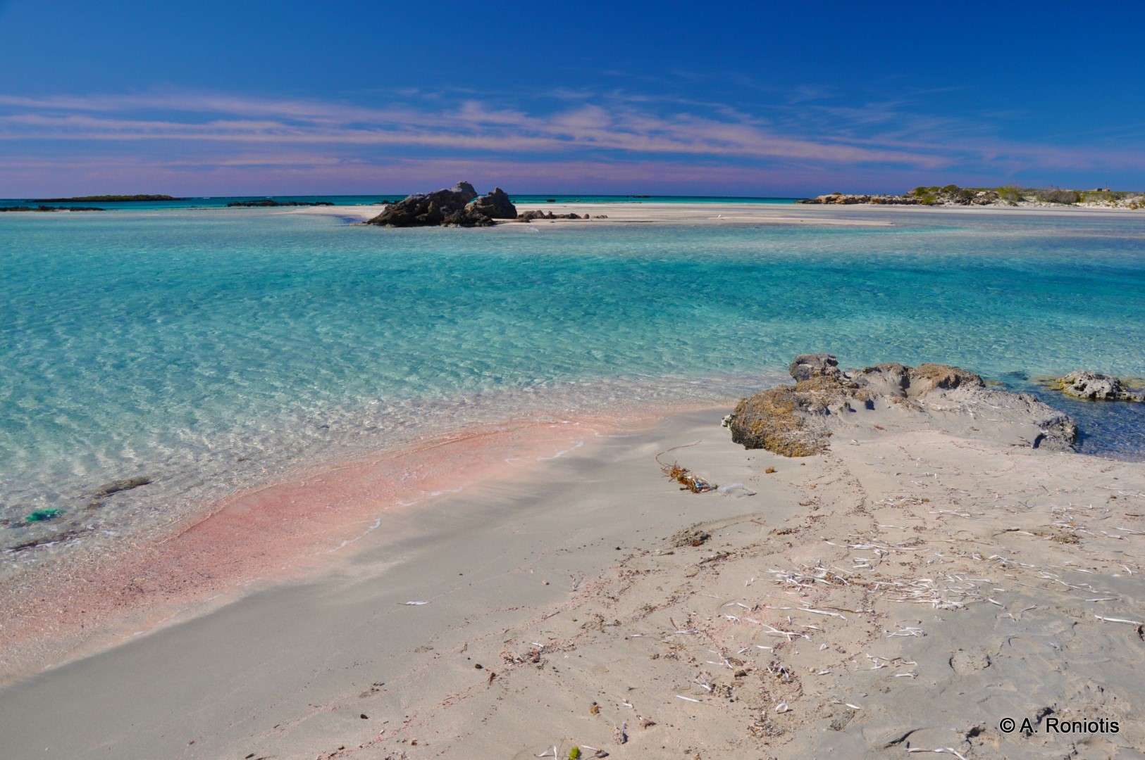
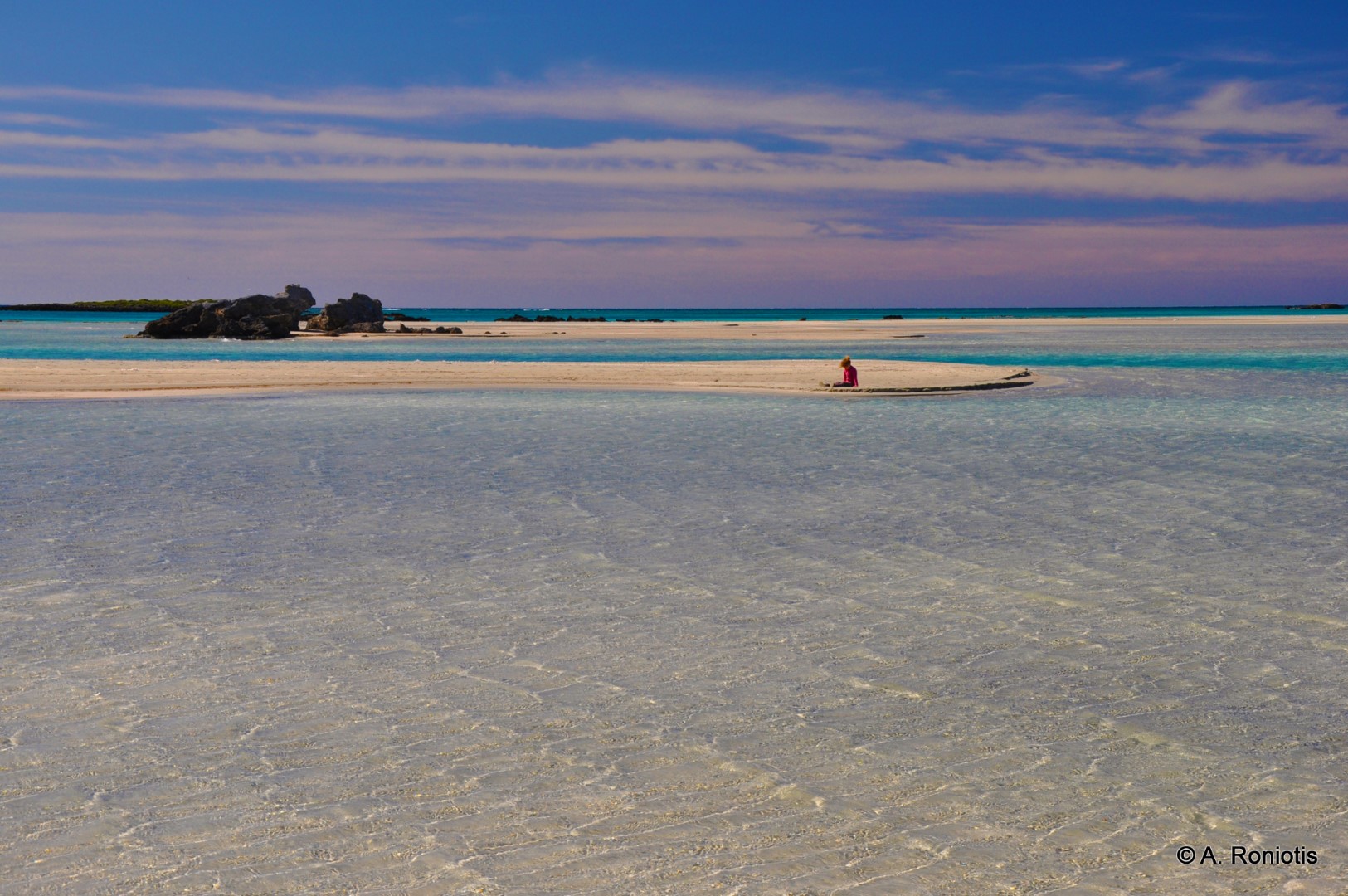
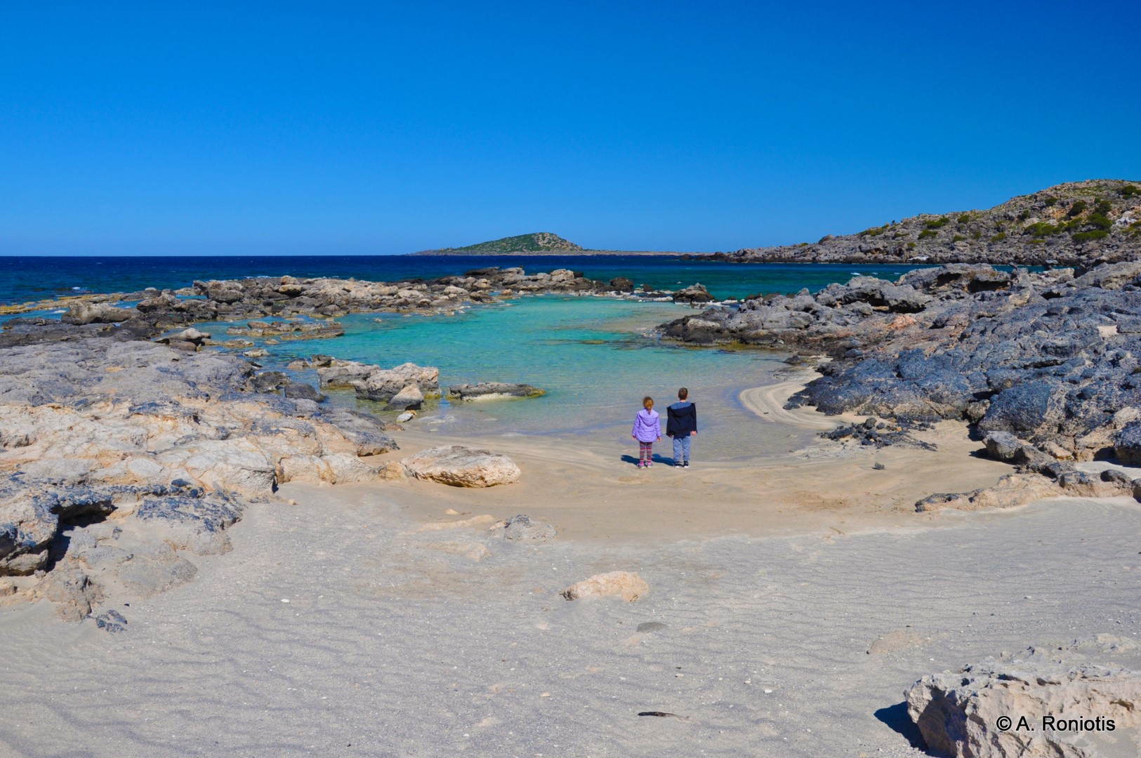
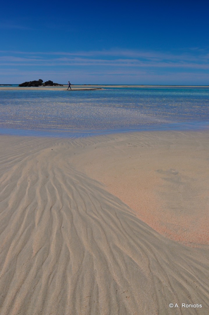
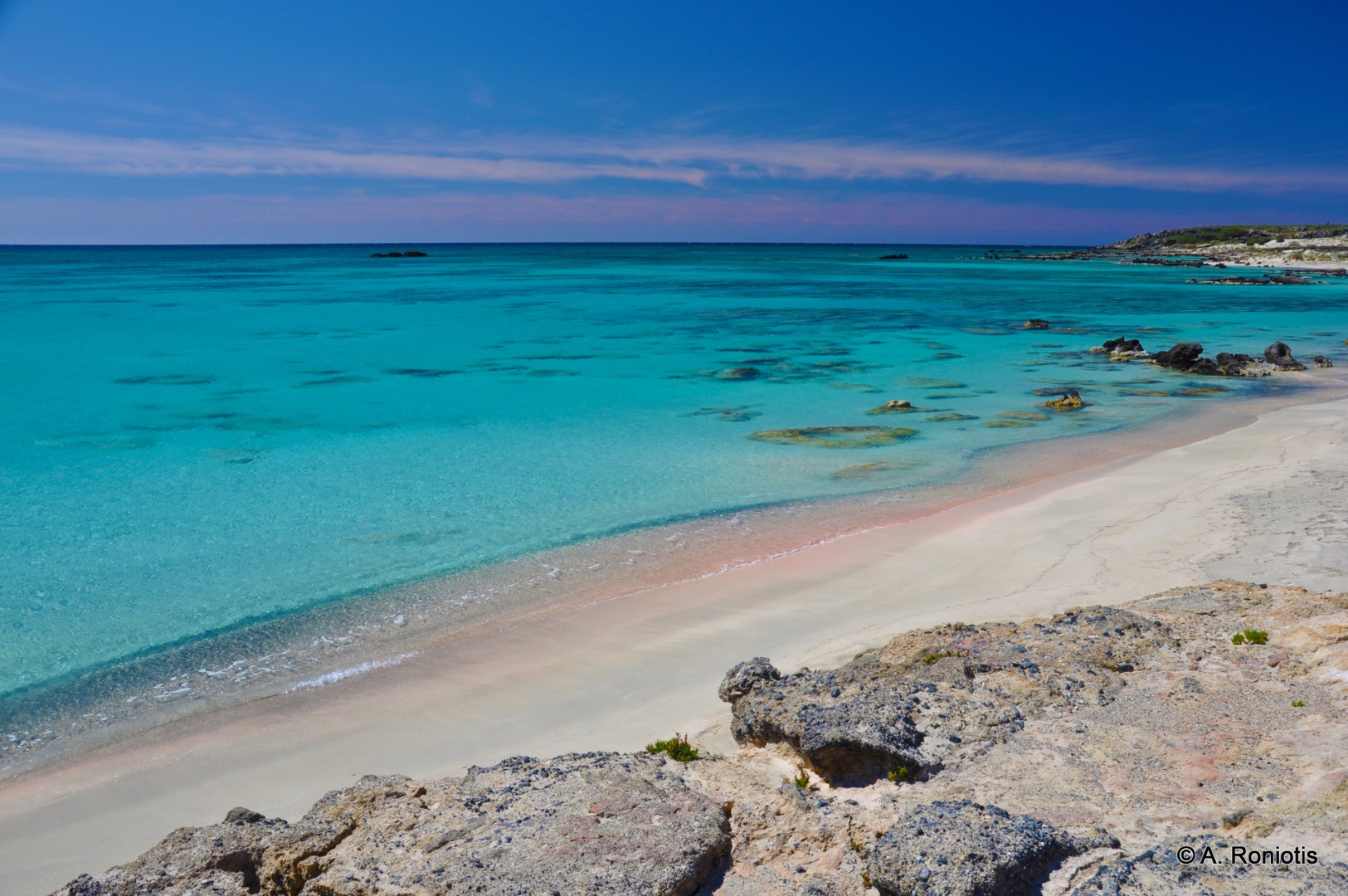
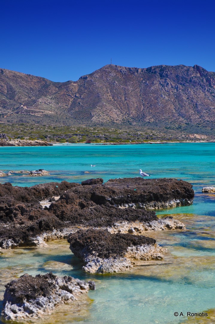
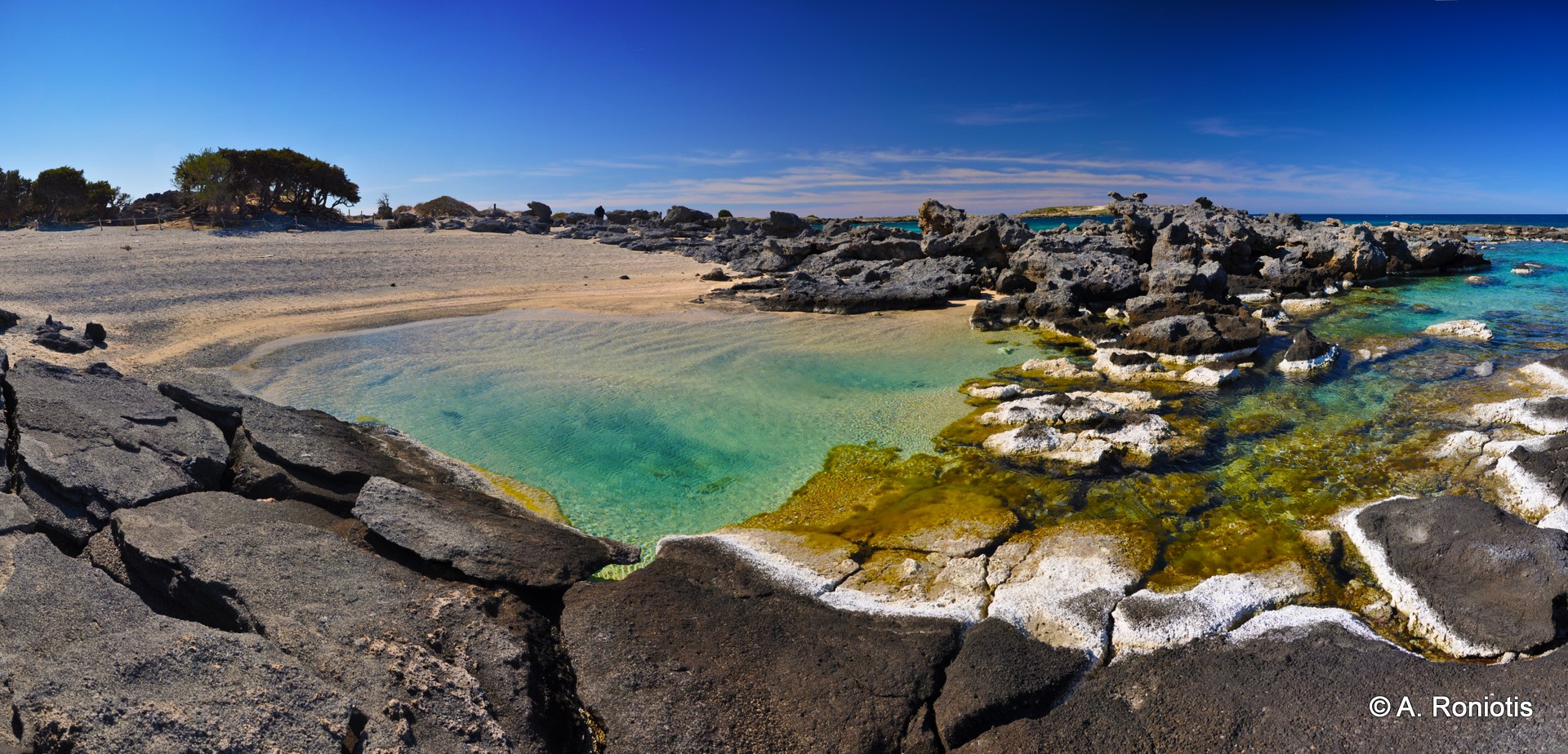
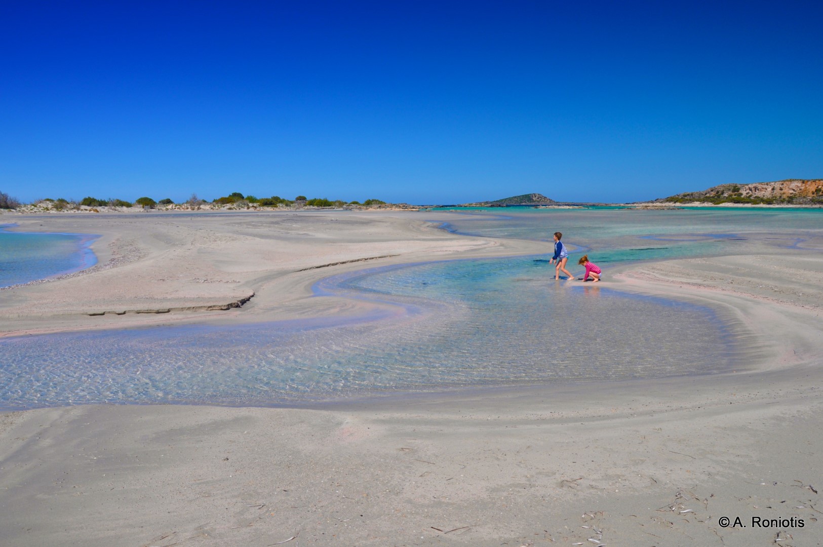
Elafonissi, known locally as Lafonisi, lies about 76 km southwest of Chania and 5 km south of Chrysoskalitissa Monastery. A long, narrow islet lies just off the coast. The channel between them is so shallow in places that the beach seems to continue beneath the water. Smaller beaches and coves line both sides of the islet.
Pink sand and coastal dunes
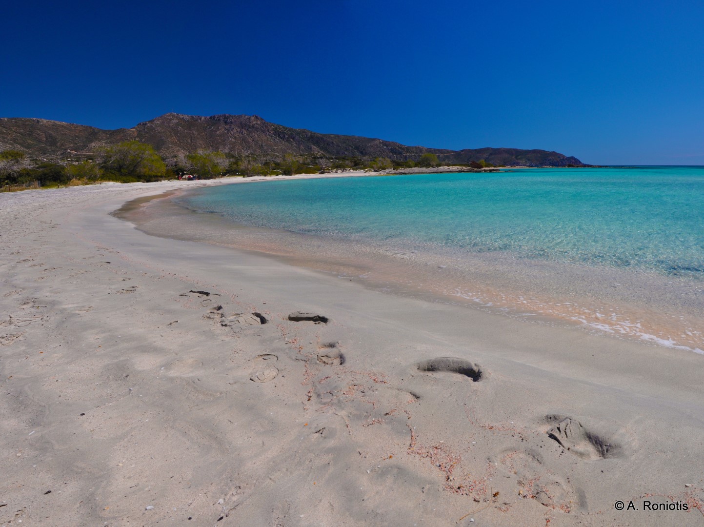
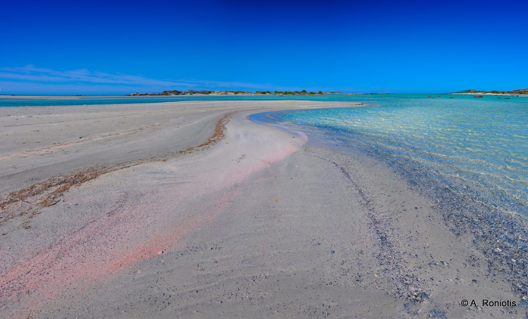
The sand is mostly pale. In places, especially along the waterline, it takes on pink tones from tiny shell fragments of marine organisms mixed in with the sand. The pink streaks shift as waves redistribute the sand.
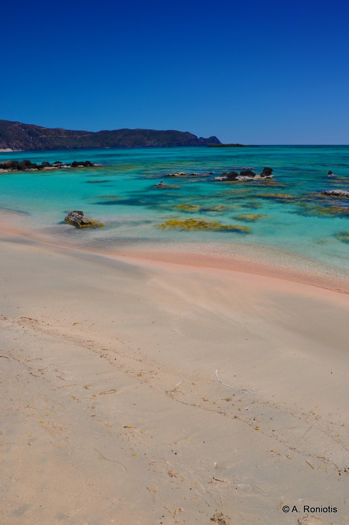
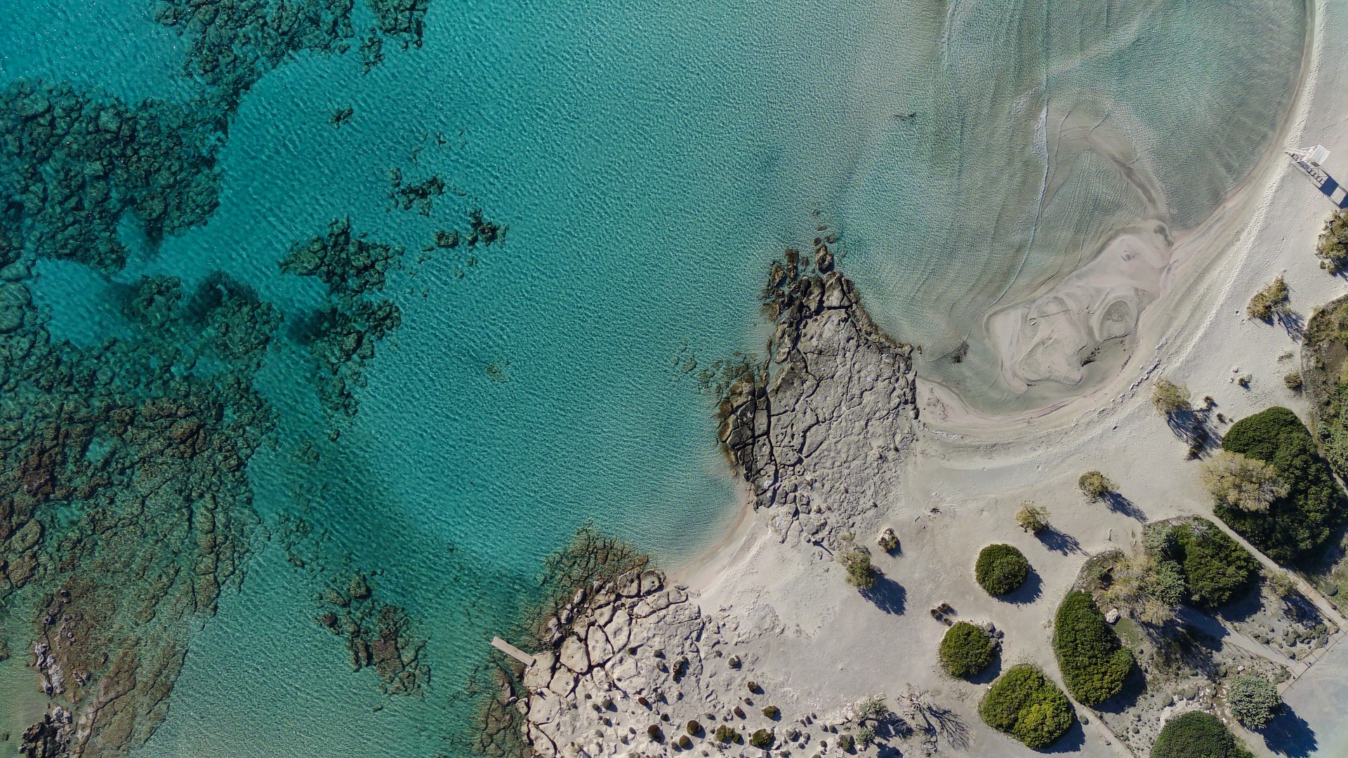
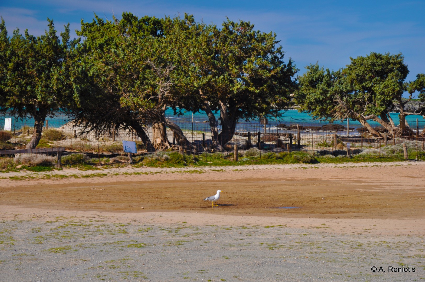
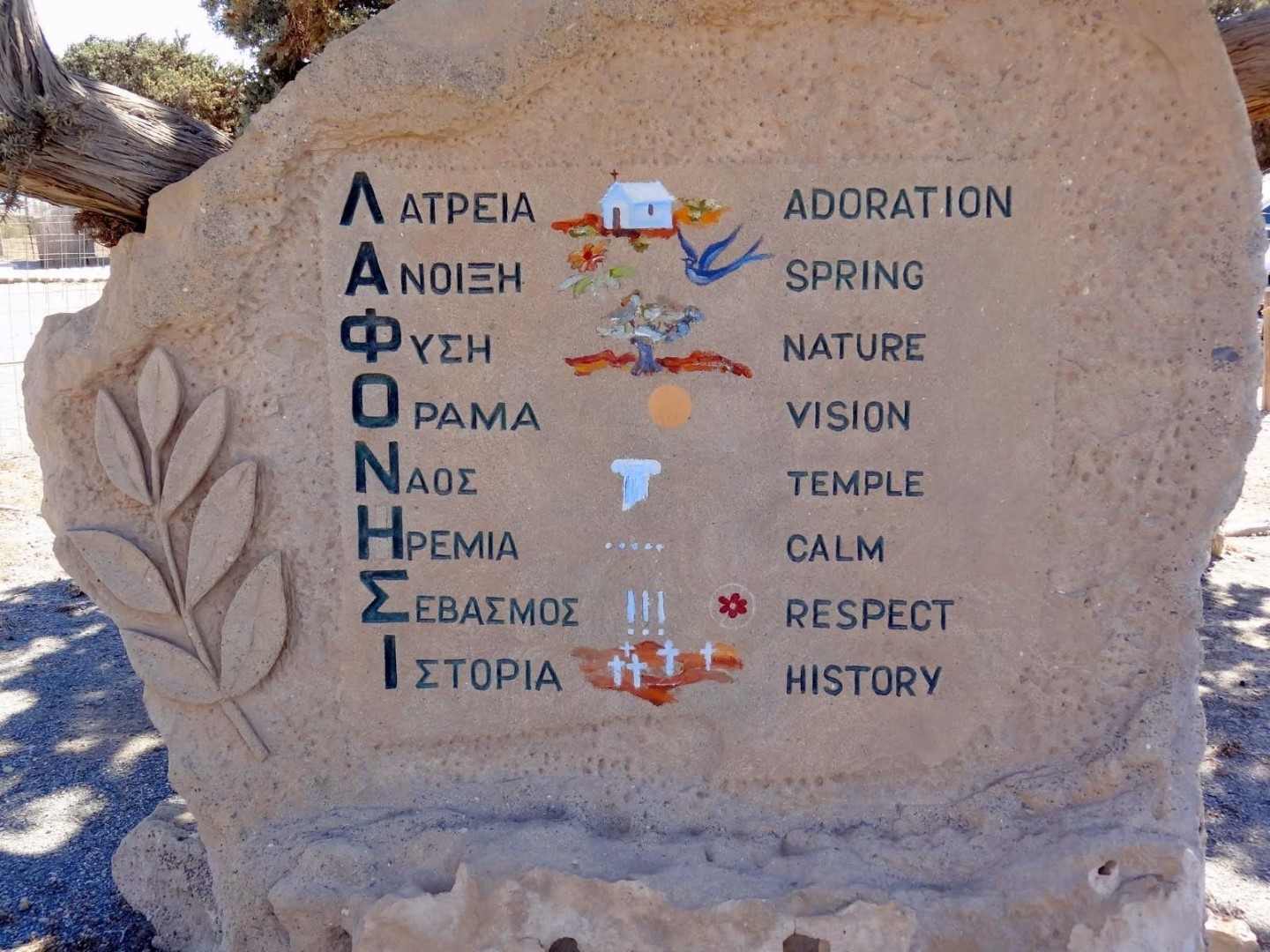
The islet and the opposite coast are part of the Natura 2000 network. Coastal junipers and sea daffodils grow on the dunes, with the white flowers of the sea daffodil appearing towards the end of summer. High visitor numbers put pressure on the vegetation. Fences protect the dunes from trampling, and signs remind visitors to leave the sand and plants in place.
The beach and how to get there
The mainland shore by the channel is the busiest part of the beach and has most of the facilities. Beach services operate seasonally, and parking is available in the surrounding area. The road from Chania through Topolia and Elos is winding. There are places to eat and stay in Chrysoskalitissa.
The channel is usually shallow, but its depth and crossing conditions vary with the waves and sea level. Local signs indicate where visitors can cross to the islet and where access is restricted around the fenced dunes.
Lafonisi through the centuries
The islet and the nearby reefs have been associated with the Musagores islands mentioned by ancient writers near Cape Kriou Metopon. Local stories link the name Lafonisi to plunder supposedly hidden by pirates who sheltered in the area. The origin of the name remains uncertain.
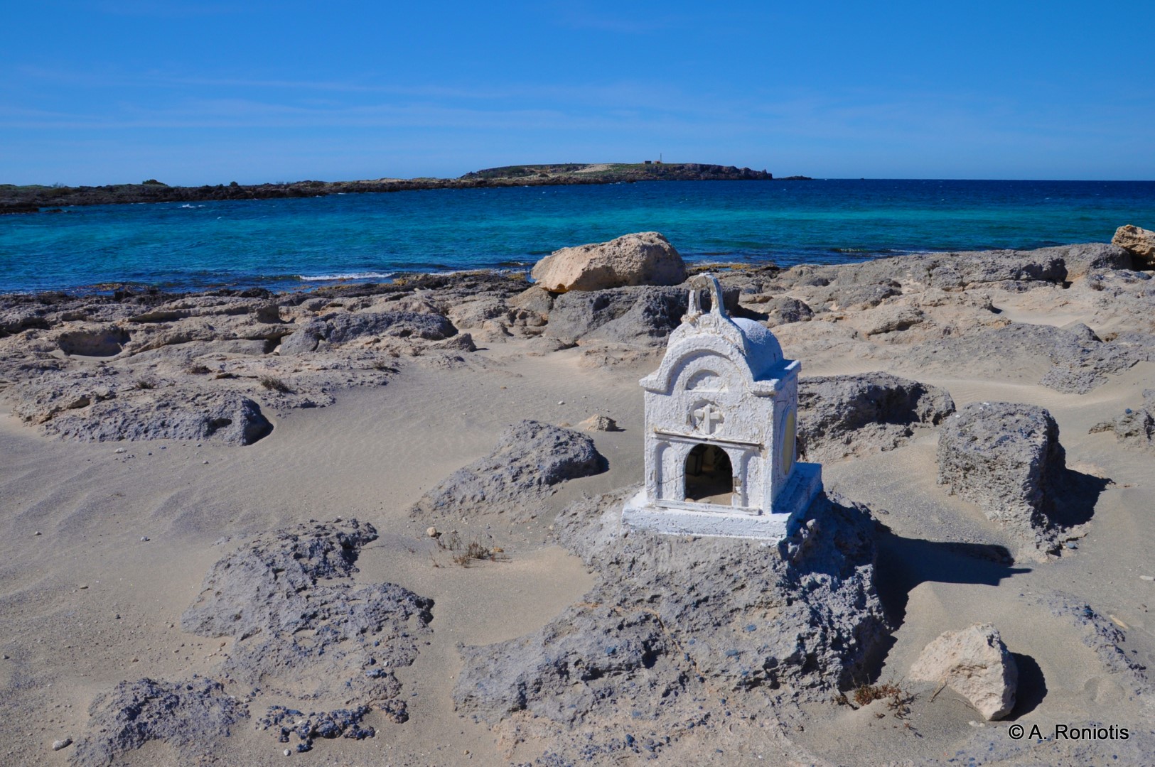
On Easter Sunday in 1824, hundreds of civilians took refuge on the islet from Ottoman-Egyptian forces operating in Kissamos and Selino. Cavalry crossed the shallows and attacked those gathered there. Accounts differ on the number of victims. In one local story, a donkey revealed the crossing. The massacre is commemorated by a monument on the mainland shore and a memorial near the chapel of Agia Irini on the islet.
The lighthouse and Chrysoskalitissa
The Elafonissi lighthouse stands near Agia Irini. In February 1907, the Austrian steamship Imperatrix struck the reefs off the islet. Thirty-eight people died, and victims of the wreck were buried on the islet. The disaster highlighted the need to mark the dangerous reefs. The stone lighthouse built in the 1920s was destroyed during the Second World War and later replaced by a smaller metal lighthouse.
About 5 km north of the beach, Chrysoskalitissa Monastery stands on a rock above the sea. According to tradition, one of the steps to the monastery is made of gold and can be seen only by those with true faith.











Nearby places of interest
Straight-line distances
 0.4 km
Trail E4 Elafonisi - Paleochora
 1.5 km
Elafonissi Lighthouse
 1.9 km
Kedrodasos beach
 4.1 km
Agios Ioannis beach at Krios
 4.6 km
Monastery of Panagia Chrisoskalitissa
 4.6 km
Aspri Limni beach
 5 km
Voulolimni pond
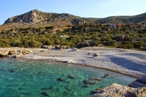 5.1 km
Viena Beach (Krios Lake)
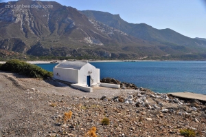 6.4 km
Stomio Beach
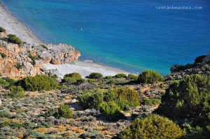 6.5 km
Krios Beach
 7.3 km
Panagia church at Sklavopoula
 7.5 km
Church of Saint George at Sklavopoula
 8.6 km
Koundoura Beach
 9.5 km
Retzakas Waterfall at Tzitzifia
 9.6 km
Agia Paraskevi Church at Voutas
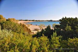 9.7 km
Grammeno Beaches
 9.8 km
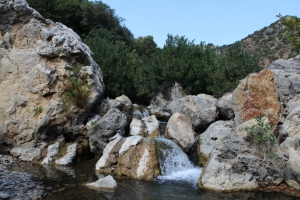
Pelekaniotis Gorge
 10.3 km
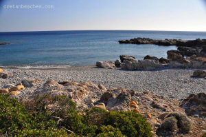
Plakaki beach at Paleochora
Additional Info
- Sea water color: Turquoise
- Sand type: White Sand
- Location: Chania Prefecture, West Crete, South Crete, Paleochora area (Selino), Kissamos Area
- Depth: Shallow
- Sea surface: Usually calm
- Crowds: Crowded place
- Facilities: Food / water nearby, Umbrellas / beds, Sports, Lifeguard, Showers, Blue Flag
- Other Information: Ideal for snorkeling / spearfishing
- Accessibility: Bus services, Paved road


