")


 Trail Gerakari - Fourfouras - Toumbotos Prinos
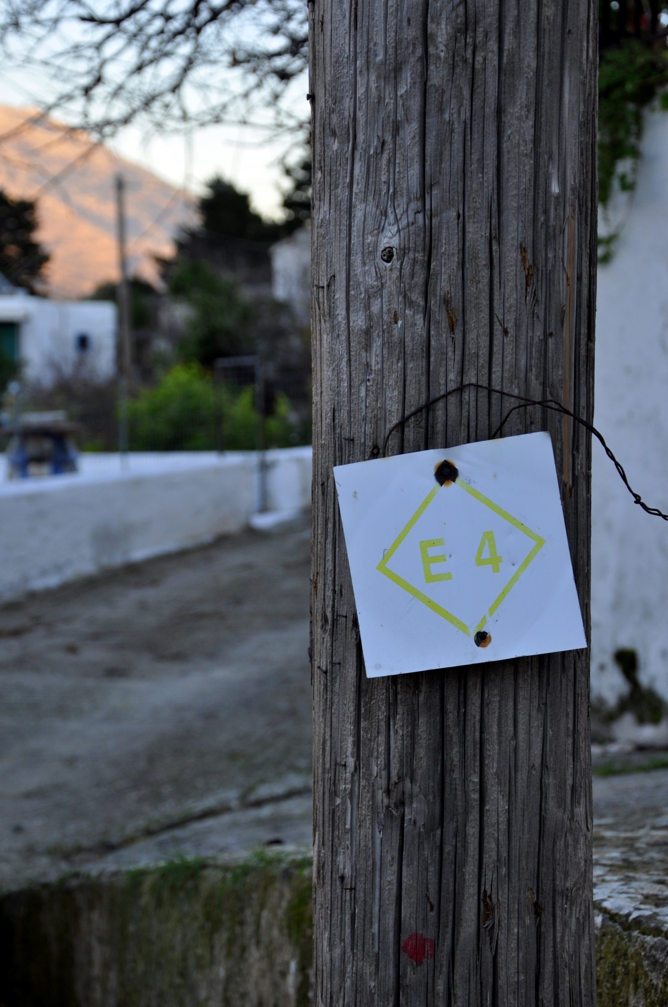
This part of the E4 European Long Distance path initially connects village Gerakari to Fourfouras and then ascends to the shelter of Toumbotos Prinos at Psiloritis Range. The first part from Gerakari to Fourfouras can be done via car. Most of the hikers ignore this first part and start ascending to the shelter from Fourfouras (it takes 4:00 hours).
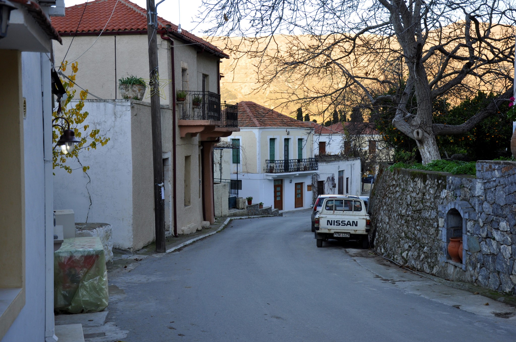
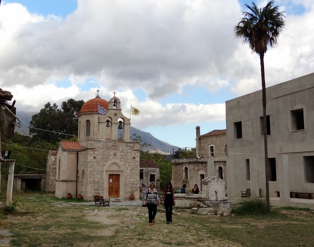
From Gerakari the European E4 trail arriving from Kedros Mountain continues to Elenes and then to Amari village. Then we walk in the main road via the villages Opsigias, Petrohori, Vizari and Fourfouras. This is the easy part of the route, also accessible by car.
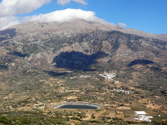
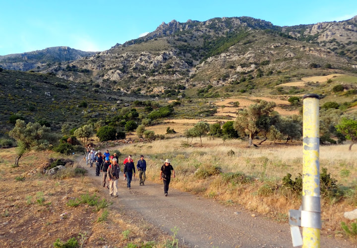
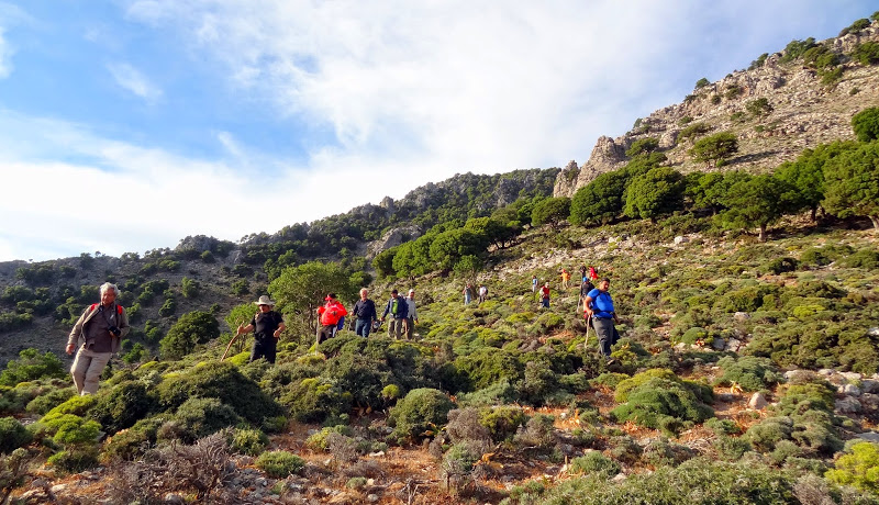
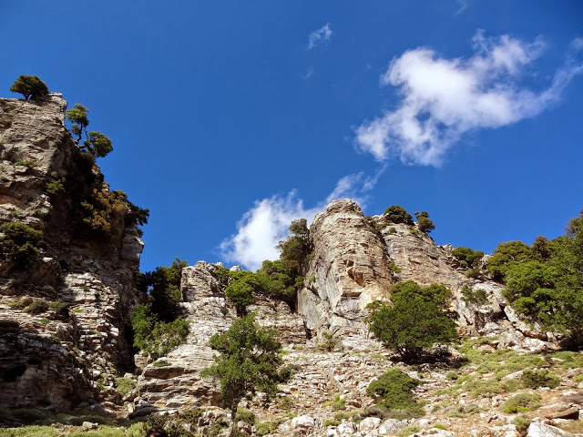
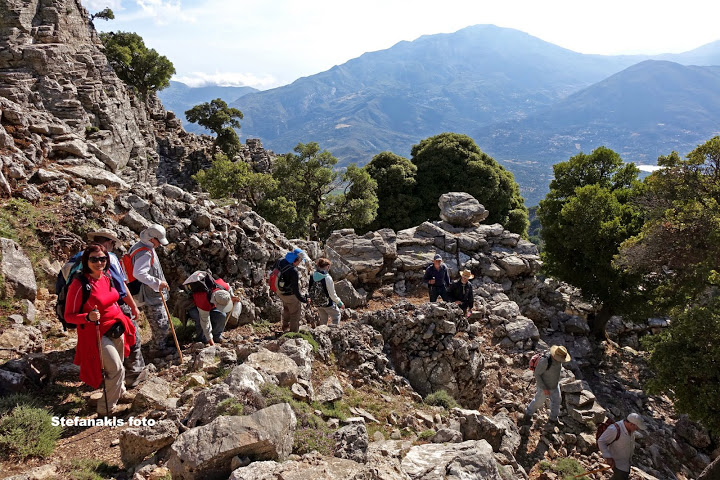
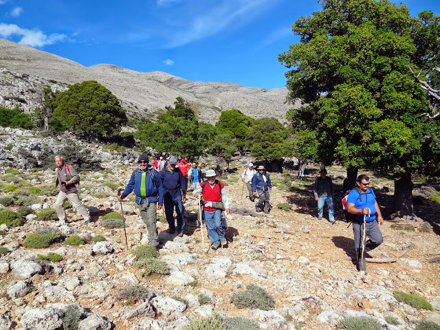
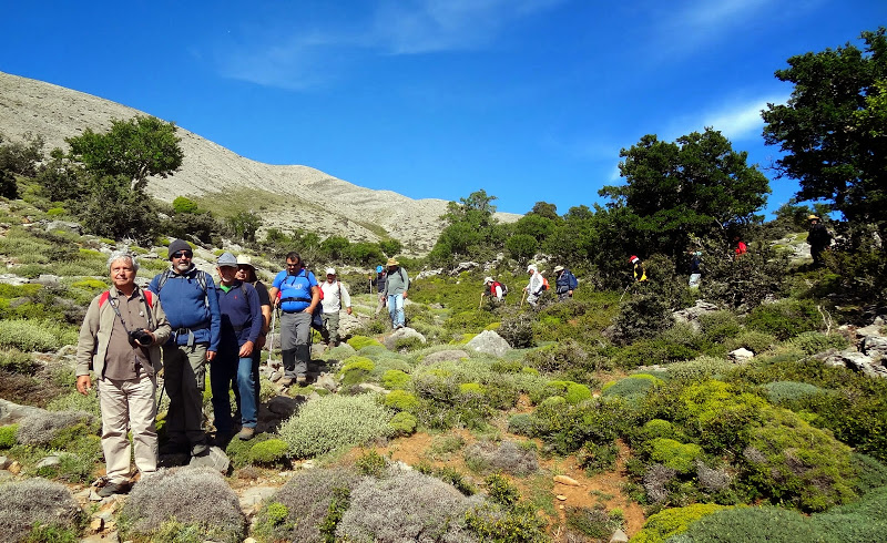
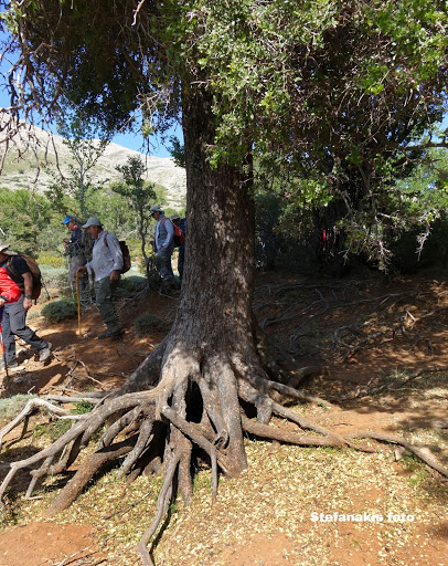
From Fourfouras we follow the well signed trail ascending to Psiloritis Mount, via dirt road (up to 760m. altitude) and then in a trail till we reach the first circular stony huts (mitata) and finally the mountain shelter of Toumbotos Prinos (altitude 1600m). The route runs through a rough and wooded landscape, which mainly oak trees.
At Toumbotos Prinos shelter we can stay overnight and continue our ascend to the highest peak of Crete, Timios Stavros (2456m), via the E4.


Additional Info
- Length (km): 22.5
- Type: E4 trail
- Location: Rethymnon Prefecture
- Difficulty (0-10): 2
- Hiking Hours: 8:00
- Accessibility: Walking


