








 Kommata Waterfall
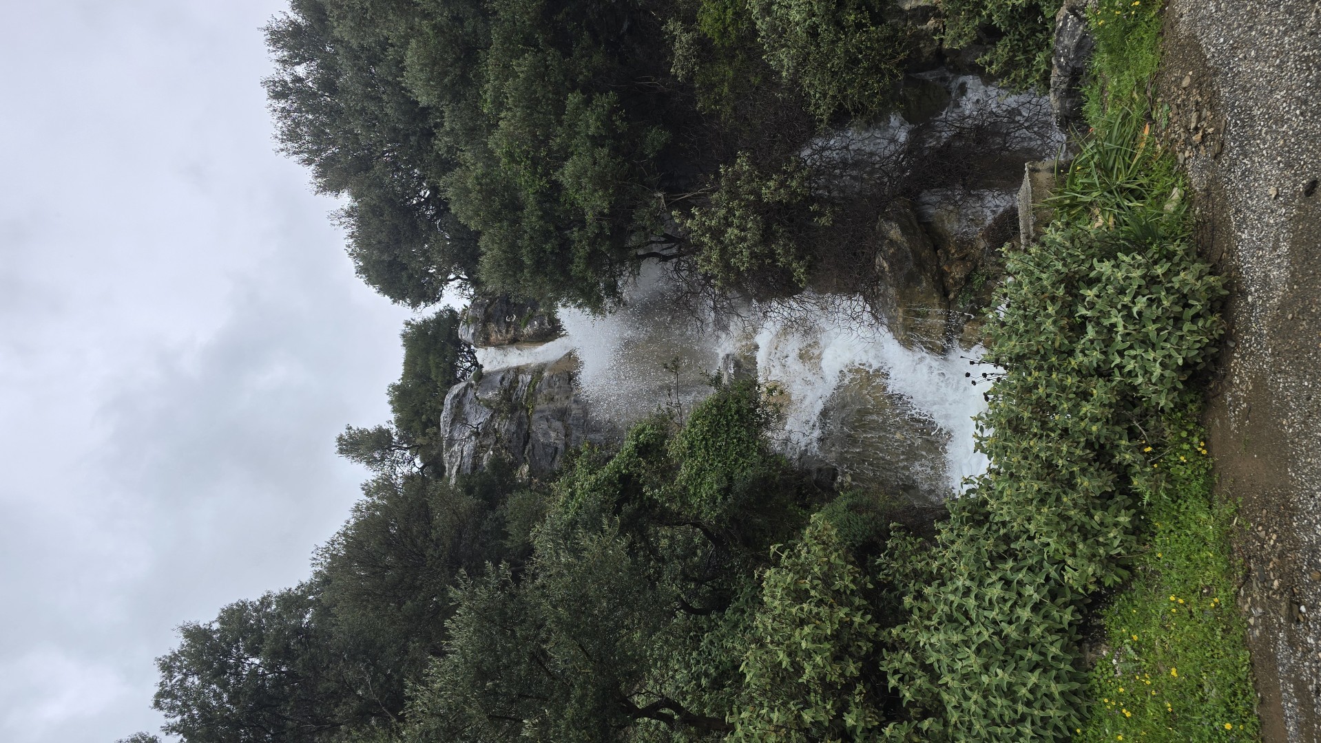
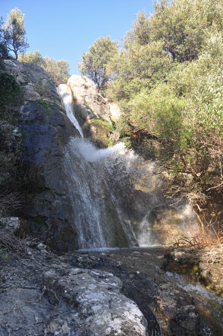
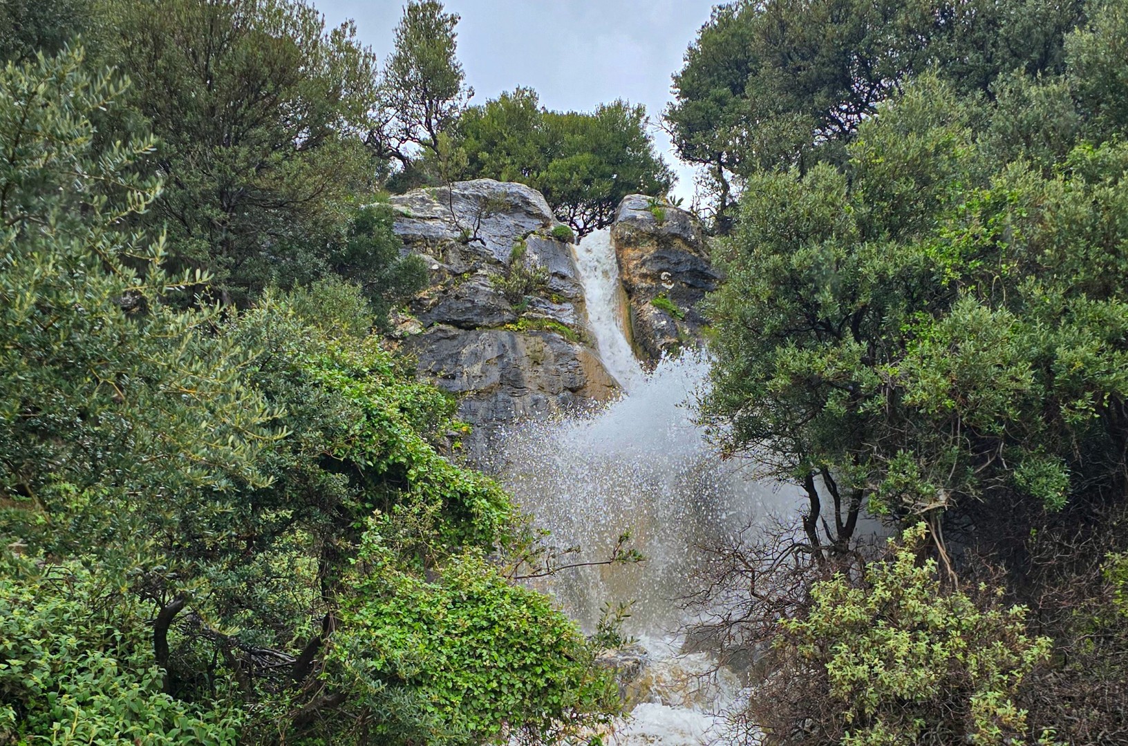
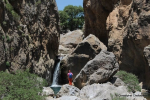
The Kommata stream flows down the slopes of Mount Kedros and forms part of the natural boundary between the former provinces of Amari and Agios Vasileios. Where the road from Chordaki to Orne meets the stream, the water cascades down the rock just above the roadway. This is the last waterfall in the open section of the stream before it continues below the road.
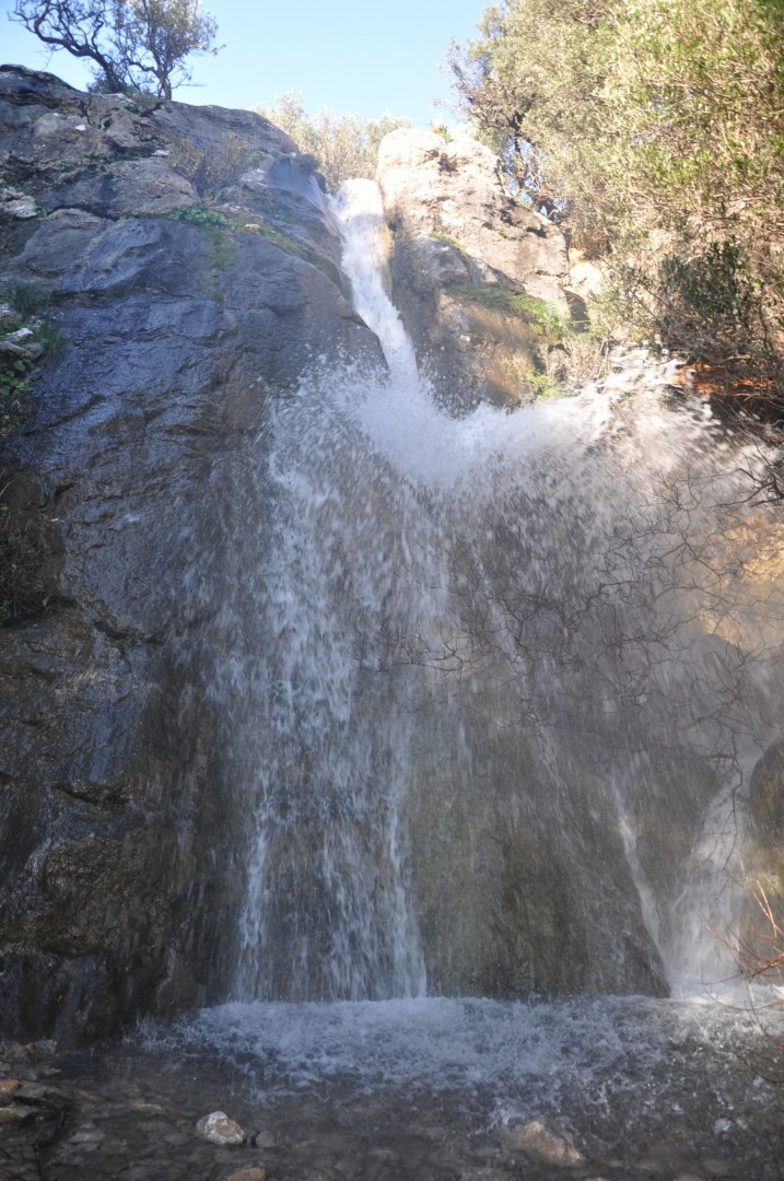
The waterfall’s most distinctive feature is the small hollow in the rock between the two drops, known locally as a gouspa. The water falls straight into it and swirls around. When the flow is strong, it splashes upwards before spilling over the rock and falling again to road level. Beside the waterfall is a small cave with colourful walls, and an old olive tree stands in front of its entrance.
Farther uphill, towards the stream’s sources on the slopes of Mount Kedros, more waterfalls lie hidden among the vegetation and folds of the mountainside. Below the road begins the narrower, wilder section of Kommata Gorge, with a succession of vertical drops. Descending this section requires ropes and canyoning experience.
Nearby places of interest
Straight-line distances
 0.9 km
Mesa Gorge at River Platys
 1.4 km
Gorge Kinigospilios
 1.7 km
Platys River bridge
 1.7 km
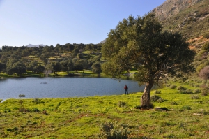
Orne Pond
 1.9 km
Manouras Bridge
 2.2 km
Selinara Waterfalls
 2.8 km
Church of Panagia in Agia Paraskevi
 3.3 km
Saint John Voulgaris Monastery at Melambes
 3.5 km
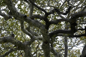
Kaloidena plane tree at Ano Meros
 3.5 km
Kaloidena Monastery at Ano Meros
 3.5 km
Apodoulou Minoan Settlement
 4.3 km
Church of Saint George Xififoros in Apodoulou
 4.5 km
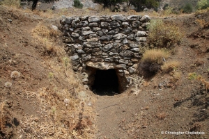
Apodoulou Domed Tomb
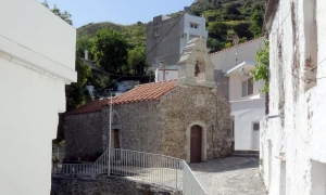 4.5 km
Church of Agia Paraskevi in Melambes
 4.7 km
Church of Panagia Kryoneririssa
 4.8 km
The Frankish konak in Apodoulou
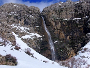 4.8 km
Gre Dafni Waterfall at Krya Vryssi
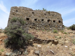 5.6 km
Vathiakos Koules
Additional Info
- Location: Rethymnon Prefecture
- Water: Water till spring
- Accessibility: Paved road
- Maximum Rapel Height (m): 7


