









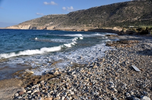
Papadiokambos is located 12km west of Sitia and 59km east of Agios Nikolaos, west of Cape Trahilos and near the Monastery of Faneromeni (in Skopi area). It can be accessed via a good dirt road. In Papadiokambos you’ll meet a long beach with large stones and rocks. In some places a few bays with pebbles are formed, where you can swim.
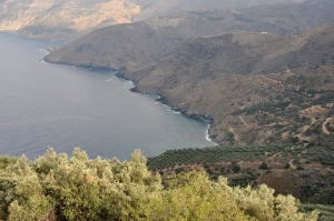
Gela (or Tigania) is located at a rocky and pebbly coast of north Crete, quite protected by westerly winds. It is located around 58km east of Agios Nikolaos and 26km west of Sitia, close to Mesa Mouliana village.

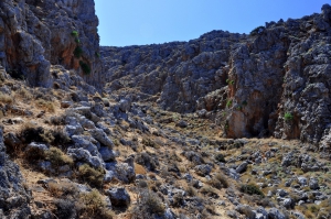
A very short gorge with the small wonderful beach of Agriomandra formed at its exit. To find that you should follow the dirt road that crosses the green meadows west of Kavoussi, known as Lakos Ambelion position, till the entrance to the gorge.
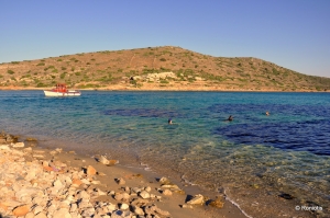
The history of Spinalonga is well known to most of us, but what is really unknown is that there is a beautiful beach to enjoy a cooling bath, on the southwest part of the island. The visitor can relax below the several tamarisk trees on the beach and swim with the amazing backdrop of the fortress and the views to the opposite peninsula of Kolokitha.

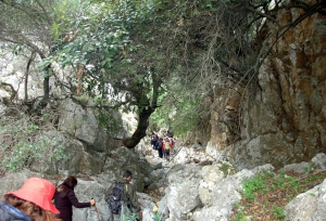
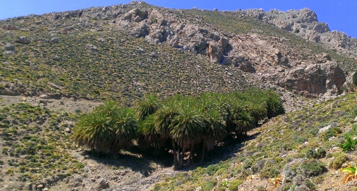
Kollita Gorges, i.e. Twin Ravines are located nearby the picturesque village Argyroupolis, about 22km southwest of Rethymnon city. They are named so, as they consist of two parallel canyons that end near Kato Poros settlement. Here we refer to the easternmost gorge of Moundros.

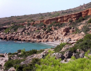
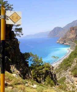
On the E4 European trail that connects Sougia and Paleochora we meet the astonishing tiny beach of Astropelekita. We meet this beach to the east of Plaka stony cape and before starting ascending to Flomos Cape for reaching Lissos. This cove is a great chance to have a cooling bath while hiking the E4 trail.
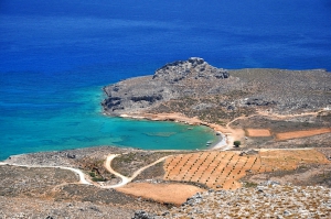
The first beach of Xerokambos (on the west) is the harbor of Amatos. A natural harbor with calm waters is formed there with several boats. The remote beach is pebbly and is ideal for fishing. There are 2-3 tamarisk trees and a ramp for launching boats. The road leading to the harbor from the settlement of Xerokambos is an accessible dirt road. From here starts the path to the beach of Agia Irini.

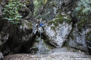
Between the villages Zourva and Meskla we meet one unknown canyon, one of the many of the region, which is called Lagos. Its entrance is located west of the village Zourva and ends in the village Meskla, at the bridge of the village, just before merging with the river Keritis.
Also read:



- Home
 Beaches
 Nature
 Past
Past Destinations
 Highlights
 West Crete
- Central Crete
- East Crete
- Towns
- Chania Prefecture
- Chania
- Paleochora
- Kissamos
- Georgioupolis
- Chora Sfakion
- Loutro
- Rethymnon Prefecture
- Rethymnon
- Agia Galini
- Plakias
- Spili
- Anogia
- Heraklion Prefecture
- Heraklion
- Hersonissos
- Malia
- Matala
- Agia Pelagia`
- Archanes
- Kokkinos Pirgos
- Lassithi Prefecture
- Agios Nikolaos
- Elounda
- Sitia
- Ierapetra
- Makrigialos
- Palekastro
- Zakros
- Lassithi Plateau
- Get Prepared


