







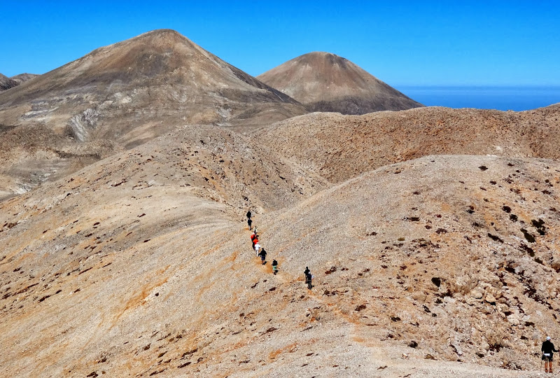


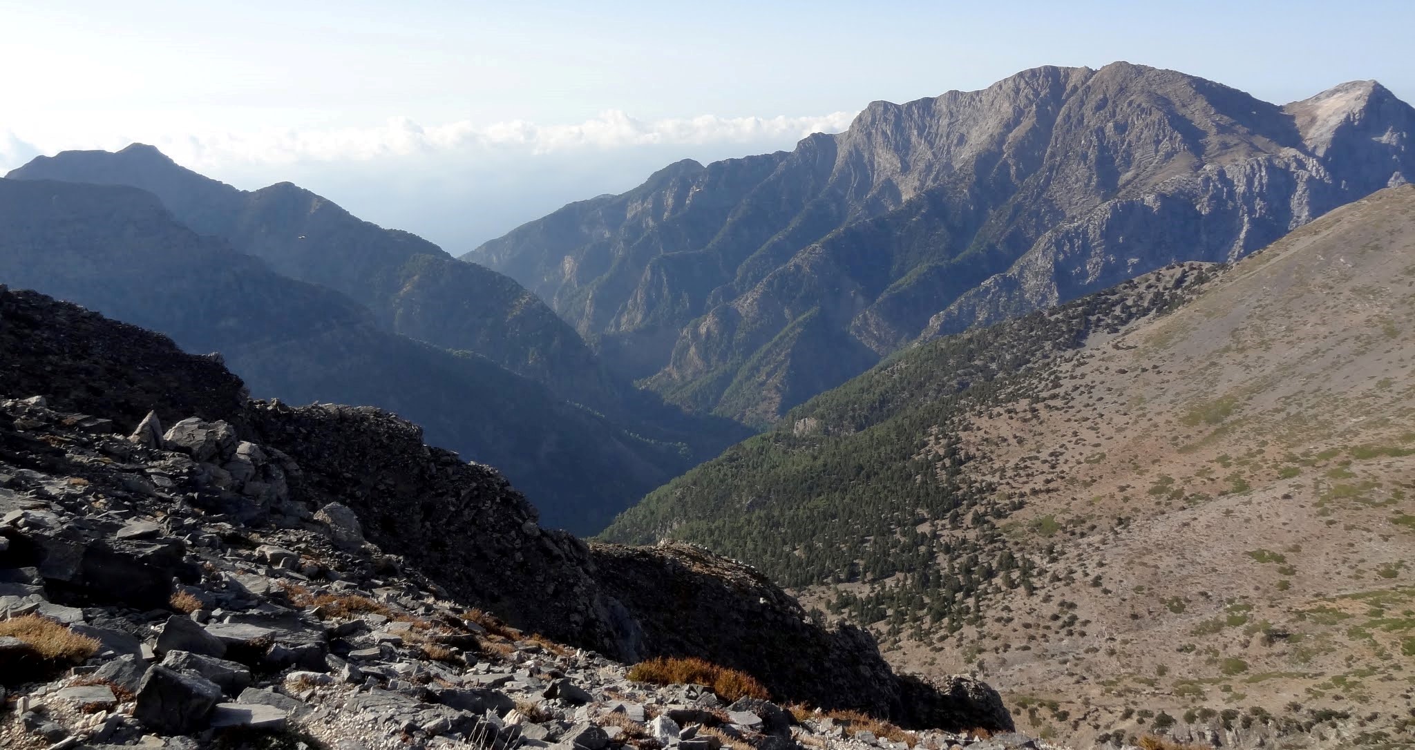
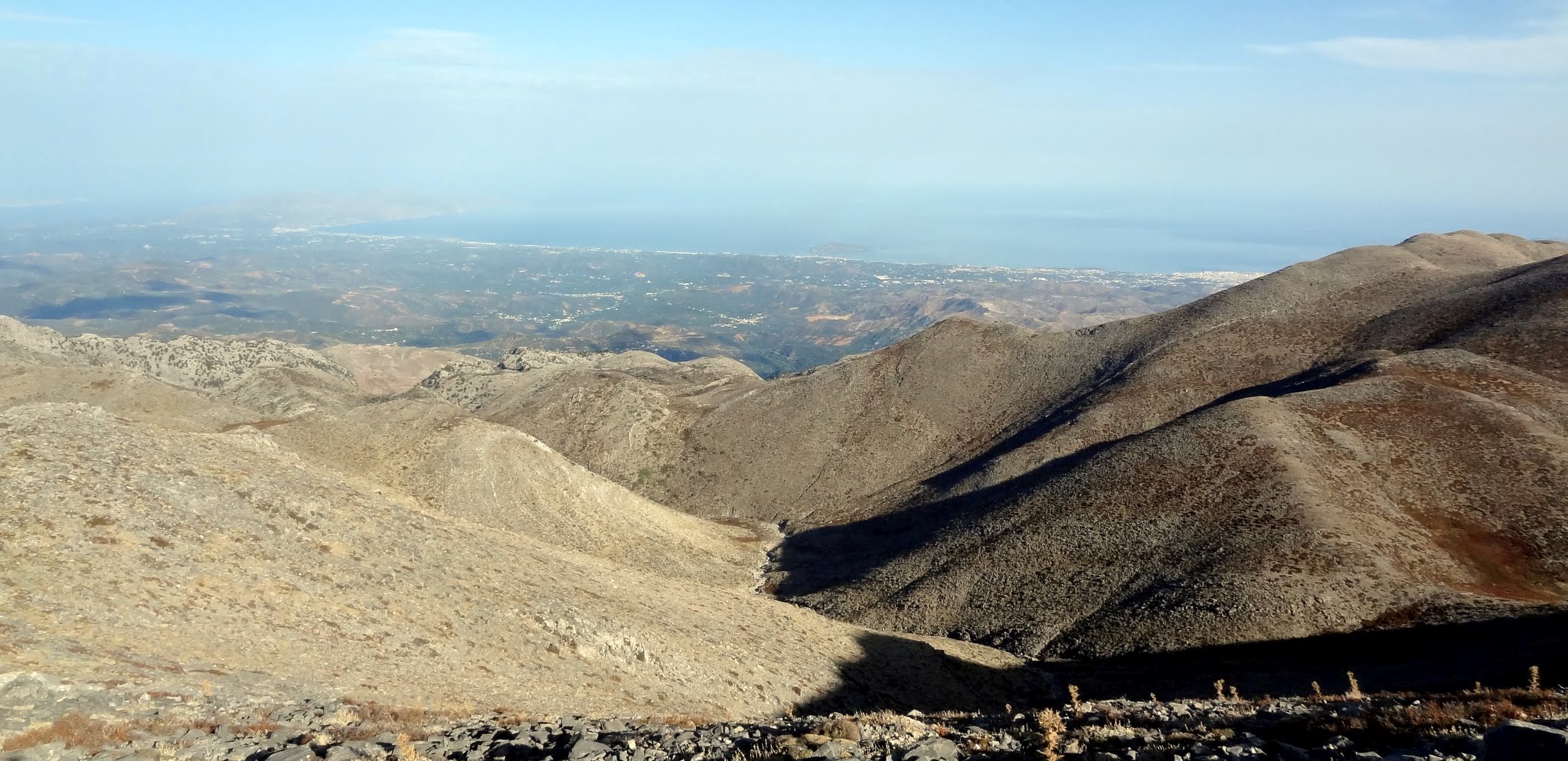
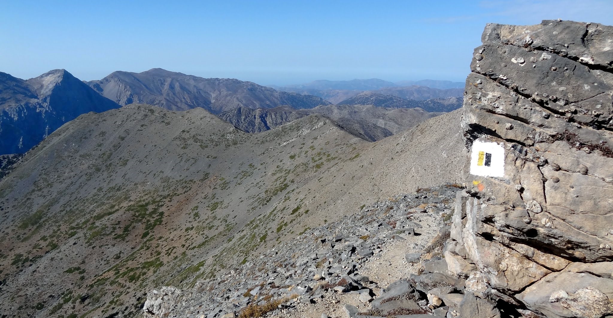
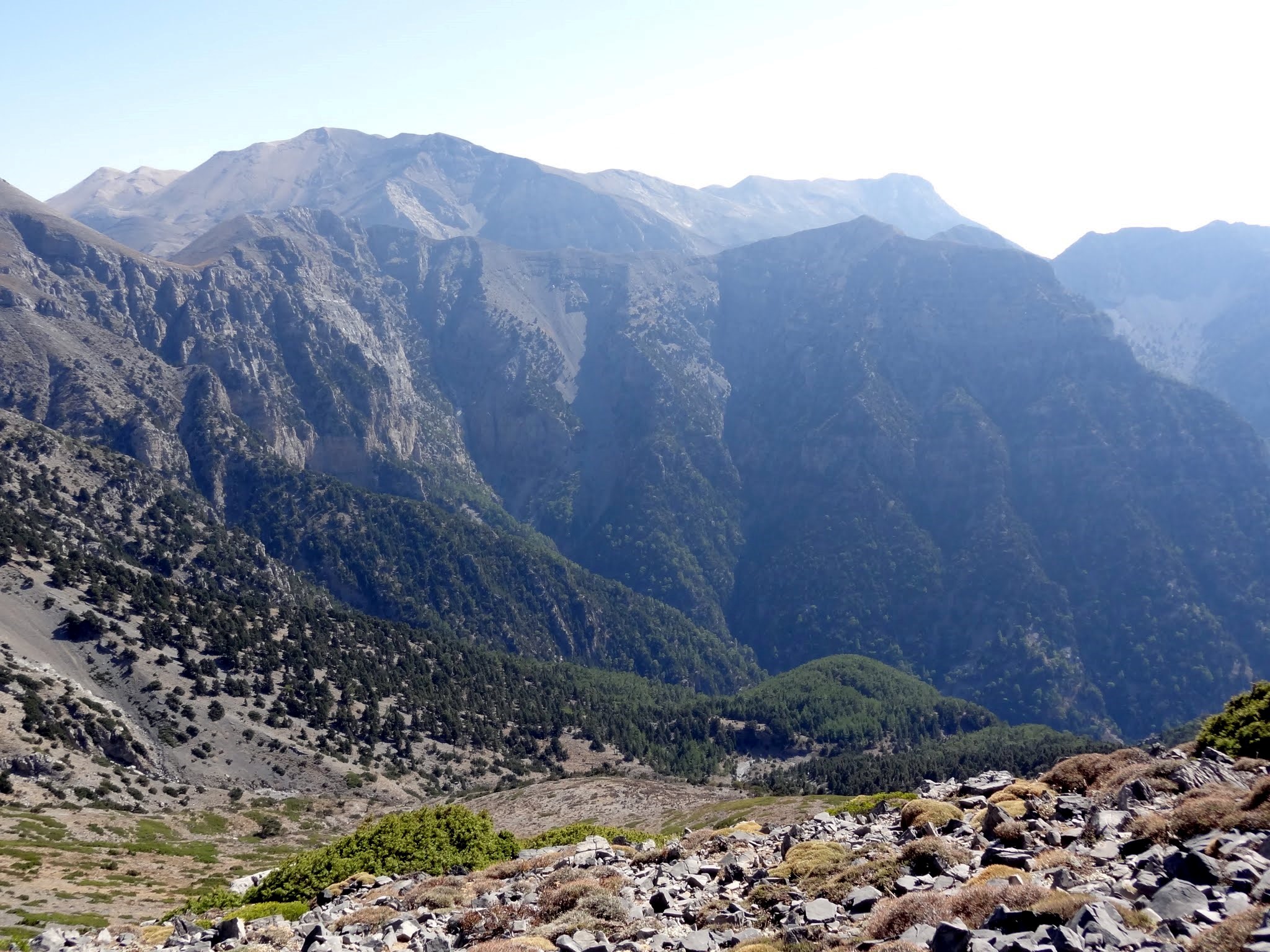
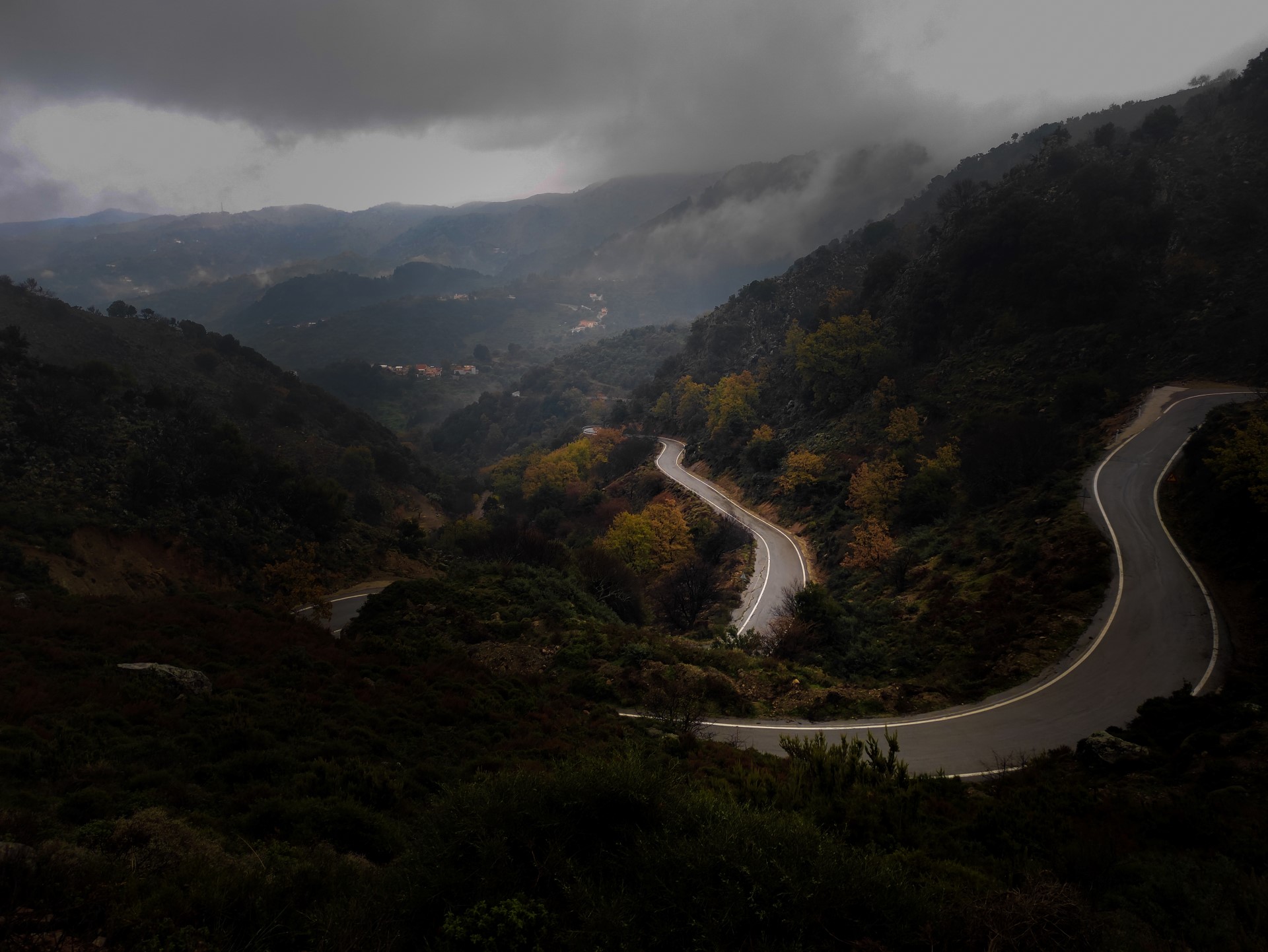

Tripiti is the second large gorge parallel to Samaria gorge and, like Klados, the trail heading to its entrance also starts at Linosseli spring. In order to approach its entrance there is a dangerous passage where you risk getting stuck, so that you can neither walk on nor turn around and go back. Therefore, you should never attempt to cross this place it without the escort of an experienced hiker.
The canyon Kavis is one of the longest and wildest of Sfakia area and despite located next to Chora Sfakion, it remains unknown to many people who usually just enjoy swimming at Iligas. The riverbed is dry almost always, except after several hours of rain. Apart from the main stream, in Kavis fall other 5 sub-gorges, extremely wild.
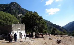
The proposed trekking route in the canyon starts from Niato Plateau (near Askifou Plateau) and runs along the European trail E4. You initially meet the abandoned village of Kali Lakki. From here starts the canyon, which is one of the greenest gorges in Crete, with incredibly interesting flora. Oaks, cypresses, and pines are the main trees in Sfakiano Gorge.
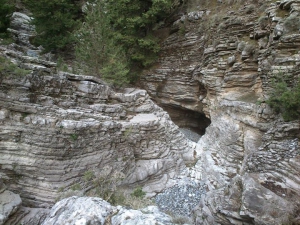
The Gorge of Tromarissa is located near the village Zourva and it is said that it gets its name after the myths about fairies and goblins that scared passersby at the position where we meet the spring of Tromarissa (tromazo means get scared in Greek).

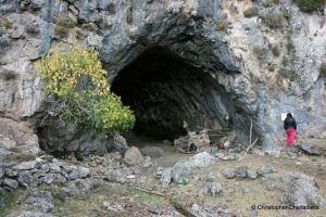
The spring and the cave of Kormokopos is located northwest of Agios Ioannis, on the east side of the canyon Eligia. The path from Agios Ioannis needs about 1.5 hour. It starts as a beautiful walk through the forest of old pine and cypress trees, and ends, almost suddenly in a wild and imposing landscape.
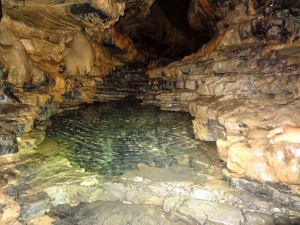
The cave Drakolaki is a long underground river located on the southern slopes of Peak Thodoris at White Mountains, at the upper part of the canyon Aradena. It is actually the starting point of one of the basic ravines that merge and form Aradena Gorge.
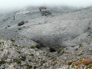
Leon Cave was officially discovered on 11 August 2008 by a French-Greek team of speleologists, exploring the White Mountains of Chania (area Atzinolakos, near Melidoni of Fre municipality). However, its existence was known 15 years ago, during a French mission of the Catamaran Club. The area of Atzines has high speleological interest which has attracted mainly French, exploratory missions.
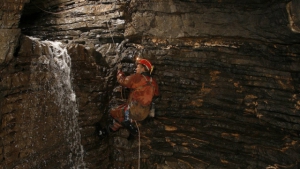
The precipice Gourgouthakas is the deepest precipice of Greece and the second in the Balkans. Access is almost impossible by anyone and can only be achieved by experienced cavers. The second largest precipice of Greece is also in Crete and is known as Tafkoura. It is located on the site "Atzines" of the White Mountains (Chania) and east of the peak of the Holy Spirit in Melidoni area.

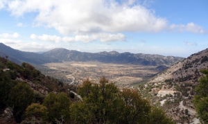
Omalos is located 38km south of Chania at an altitude ranging from 1,040 to 1,250 meters, surrounded by the high peaks of the White Mountains. The plateau is particularly beautiful in the winter, when it is frequently covered by snow. At older times, the plateau of Omalos was the shelter of the locals and the base of rebels during the two and a half centuries of the Turkish occupation, but also during all other wars against invaders.
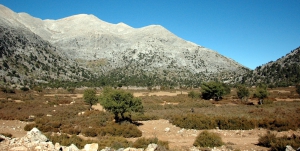
In Niatos the beauty is indescribable, as the views to the peak Kastri (2215m) of the White Mountains causes awe. If you ever drive to Sfakia via Askifou, do not forget to visit the two plateaus, as they are totally unknown and are awesome.
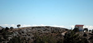
The plateaus of Tavri and Niatos are located 2km and 3km west of Askifou Plateau, 51km south of Chania, at an altitude of 1200m. They can be accessed via a road starting from Askifou, crossing Tavri and then ending up in Niato.
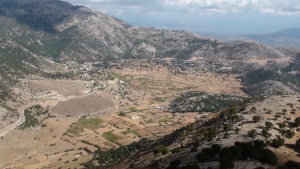
The Plateau of Askifou is located 50km south of Chania, in one of the nicest and most authentic areas of Crete. The wild mountains around and the serenity of the valley, form a magnificent landscape all year round.

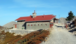
The shelter Kallergis is located at an altitude of 1680m, 5km (1:30 hour walk along a dirt road) east of the Plateau Omalos and is the most popular shelter of Crete. It is built on a amazing site with breathtaking views of the surrounding peaks and the seas of both North and South Crete. The place is very important because from here one can continue climbing to the peaks Psari, Mavri and Melidaou or to cross the White Mountains by walking to the other shelter at Svourichti.
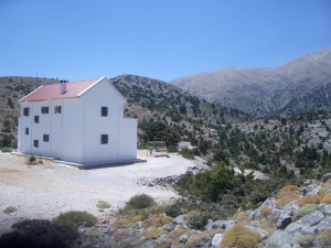
The shelter of Tavri is located at an altitude of 1200m at the plateau of Tavri, by Askyfou. It can be access by walking 1:30 hours in the cypresswooded trail starting from village Ammoudari (or dricing a 7.5km long dirt track). From this refuge you can walk to Kastro peak, cross Sfakiano or Kavi Gorges.
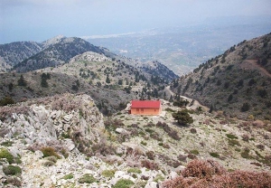
The shelter Volikas is located at an altitude of 1450m near the village Kambi, Keramia, at northern White Mountains. It can be accessed by 3 hours hiking from Kambi, while the nearest point where a dirt road reaches (starts from the village Madaro) requires 10 minutes course. From this refuge someone can walk to the nearest peaks, towards all directions.
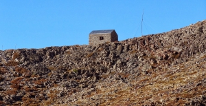
The small shelter named Christos Chouliopoulos is located at an altitude of 1980m, at the small plateau Katsiveli at the outskirts of Svourichti peak, in the center of the White Mountains. It can be accessed by hiking 7 hours north from Anopolis, Sfakia district, and the nearest dirt road is 2:30 hours away. The shelter hosts the hikers who cross the White Mountains to/from the shelter Kallergis (6 hours) or climb to their highest peak, Pachnes (2:30).

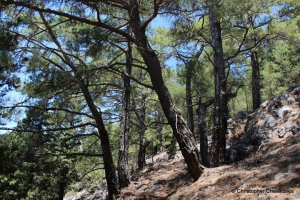
The forest village of Agios Ioannis at Sfakia province is the starting point of one of the most beautiful and best marked trails of Chania prefecture, the trail of Kormokopos. The word Kormokopos means place where trees are cut, due to the dense forest of the area.

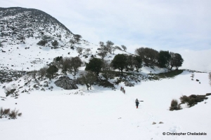
Mega Oros (ie. big mountain) by Askyfou is one of the peaks of the eastern part of the White Mountains in the cluster of Agathes. It has an altitude of 1181 meters and is located near the location Akones, above Imbros. Mega Oros offers a unique view of the plateau Askyfou and the central core of the White Mountains on the west.
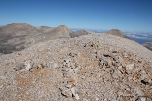
In the central point of the massif of White Mountains we meet the peak Sternes with a maximum altitude of 2335 meters. This is the eighth highest peak of the White Mountains. The importance of Sternes is that it is located right in the center of the range, between a sea of peaks and thus from the top you can enjoy almost all the major peaks of the White Mountains.
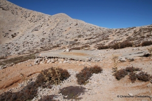
On the path that heads from the Amoutsera to the plateau of Katsiveli and peak Pachnes we meet the Rusies. This is a small plateau at an altitude of 2000 meters in the heart of the White Mountains and in the past years it was very important point for the people of the mountain, the Sfakians shepherds. The main reason for this was the cistern that gathered water and the small stone-built accommodation that served as a refuge in emergency times. The Plateau of Russies is located exactly between the peaks of Bournelos and Sternes.
- 1
- 2
Also read:
- Home
 Beaches
 Nature
 Past
Past Destinations
 Highlights
 West Crete
- Central Crete
- East Crete
- Towns
- Chania Prefecture
- Chania
- Paleochora
- Kissamos
- Georgioupolis
- Chora Sfakion
- Loutro
- Rethymnon Prefecture
- Rethymnon
- Agia Galini
- Plakias
- Spili
- Anogia
- Heraklion Prefecture
- Heraklion
- Hersonissos
- Malia
- Matala
- Agia Pelagia`
- Archanes
- Kokkinos Pirgos
- Lassithi Prefecture
- Agios Nikolaos
- Elounda
- Sitia
- Ierapetra
- Makrigialos
- Palekastro
- Zakros
- Lassithi Plateau
- Get Prepared


