")


 Rouvas Wood and Gorge
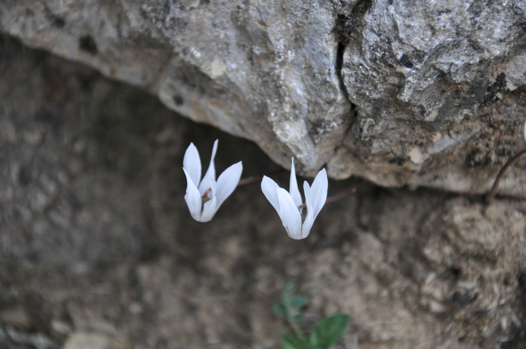
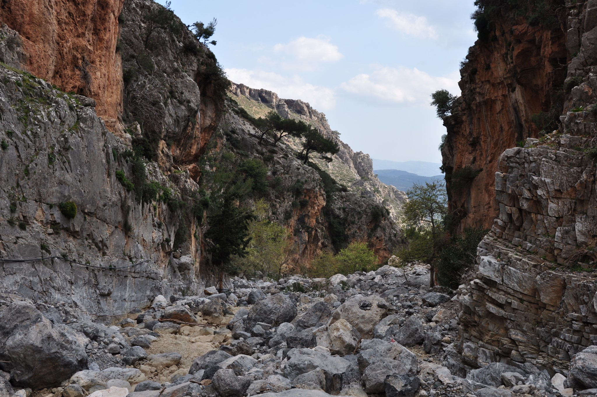
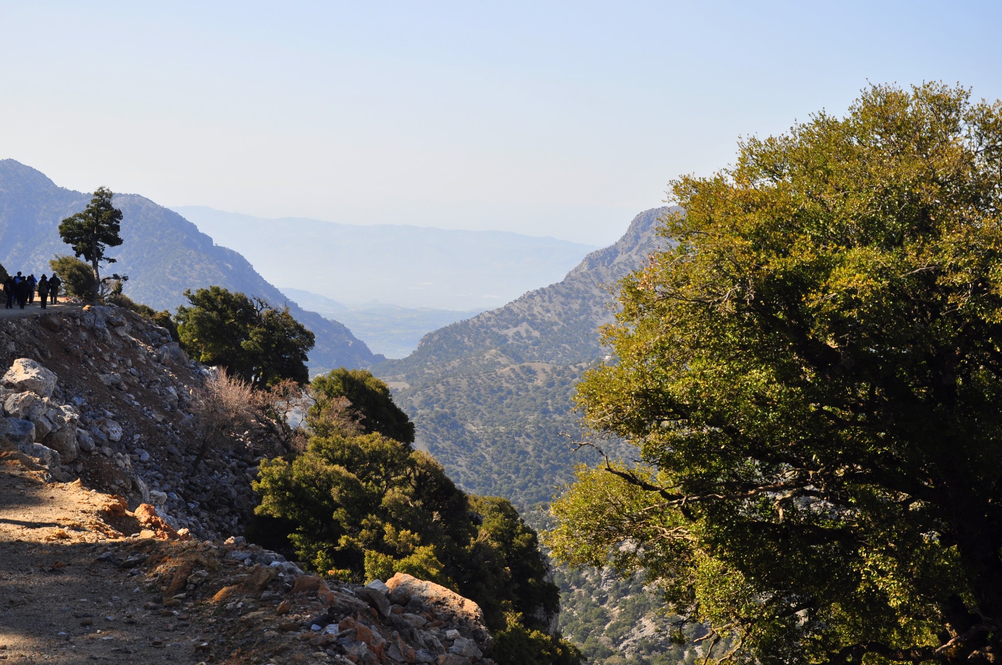
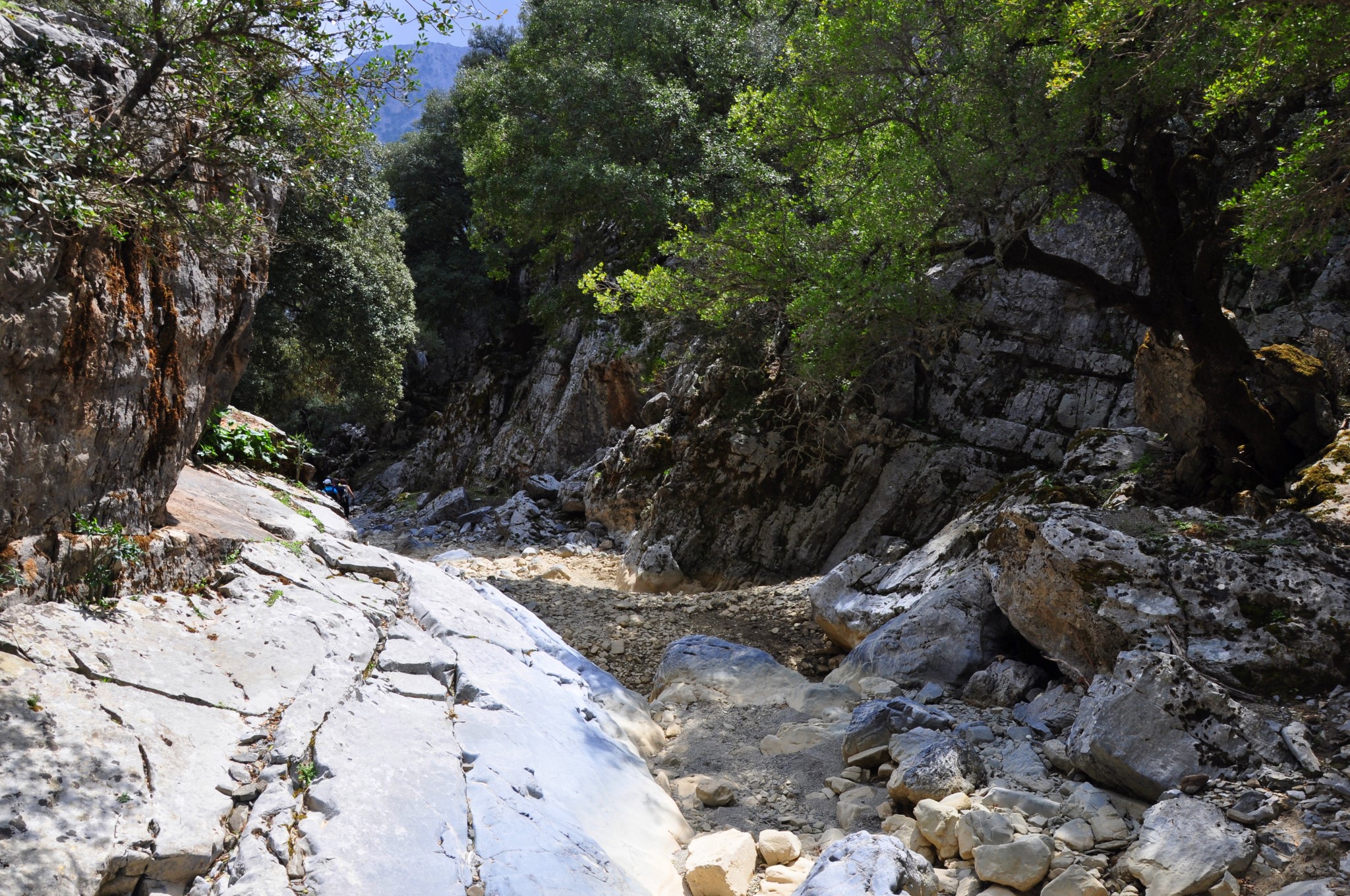
The gorge of Agios Nikolaos, Gafaris or Rouvas is bounded by the peaks of Ambelakia from east and Samari from west. This is the most important gorge of Psiloritis and central Crete and took the name Agios Nikolaos from the monastery of St Nicholas at its exit near Zaros. This is an ecosystem with rich flora and fauna, smaller canyons and interesting geological formations and cliffs of rare beauty. It has a total length of 4 km with 2,7km being well-shaped by the Forest Service for soft activities such as hiking, mountaineering, rock climbing, naturalism and observation of wildlife in a truly unique environment. Unfortunately, a significant part of the beautiful forest of Rouvas, near the south entrance of the Gorge was destroyed by a major fire in 1994.
The wood of Rouvas
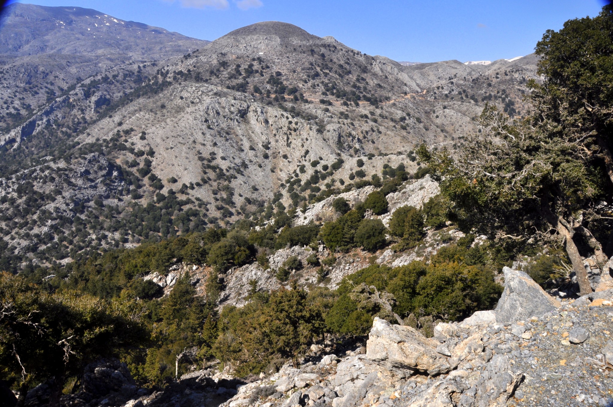
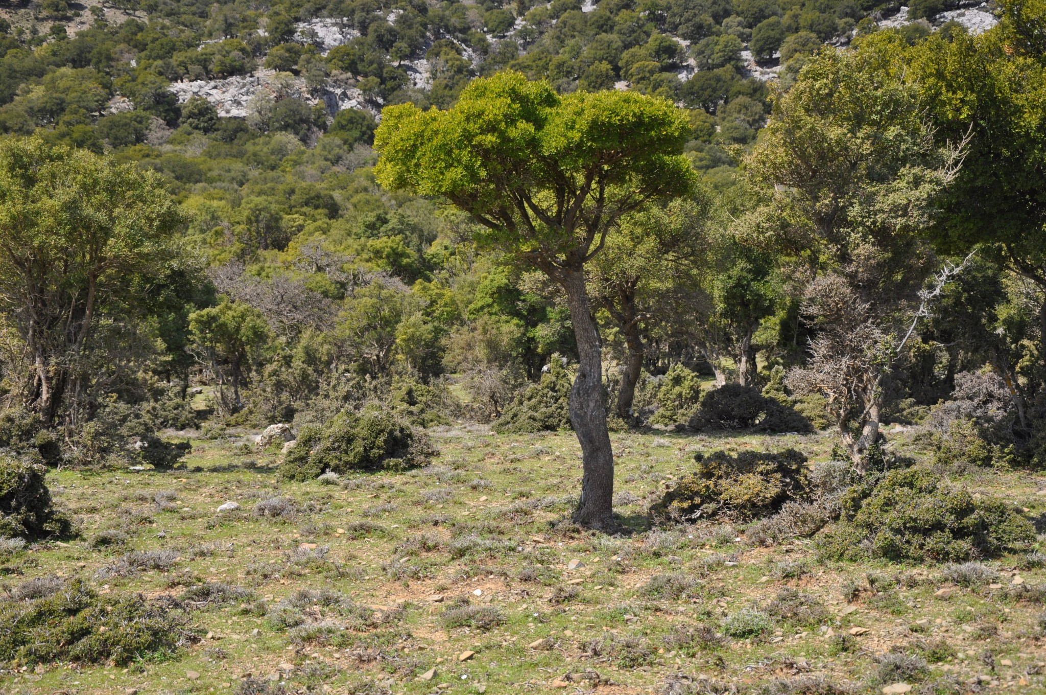
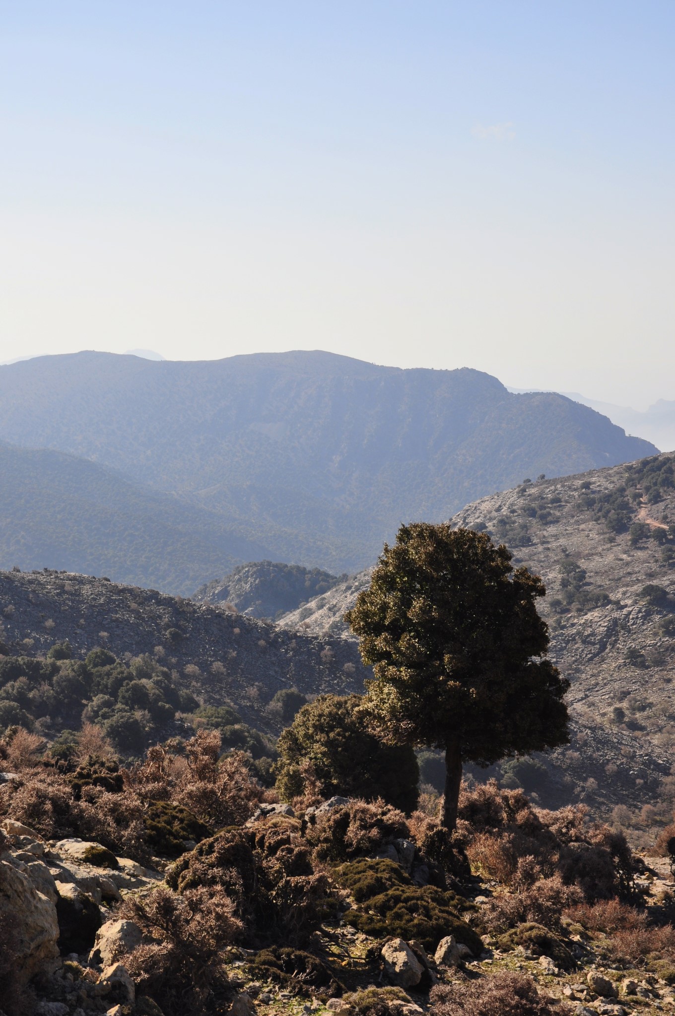
The forest of Rouvas, in the gorge of Saint Nicholas, is an important ecosystem of holly trees of national interest. It occupies the inner valley of Psiloritis bounded by the peaks Ambelakia and Samari, Chalazokefala (south), Skinakas (west), Koudouni (north) and Giristi (east).
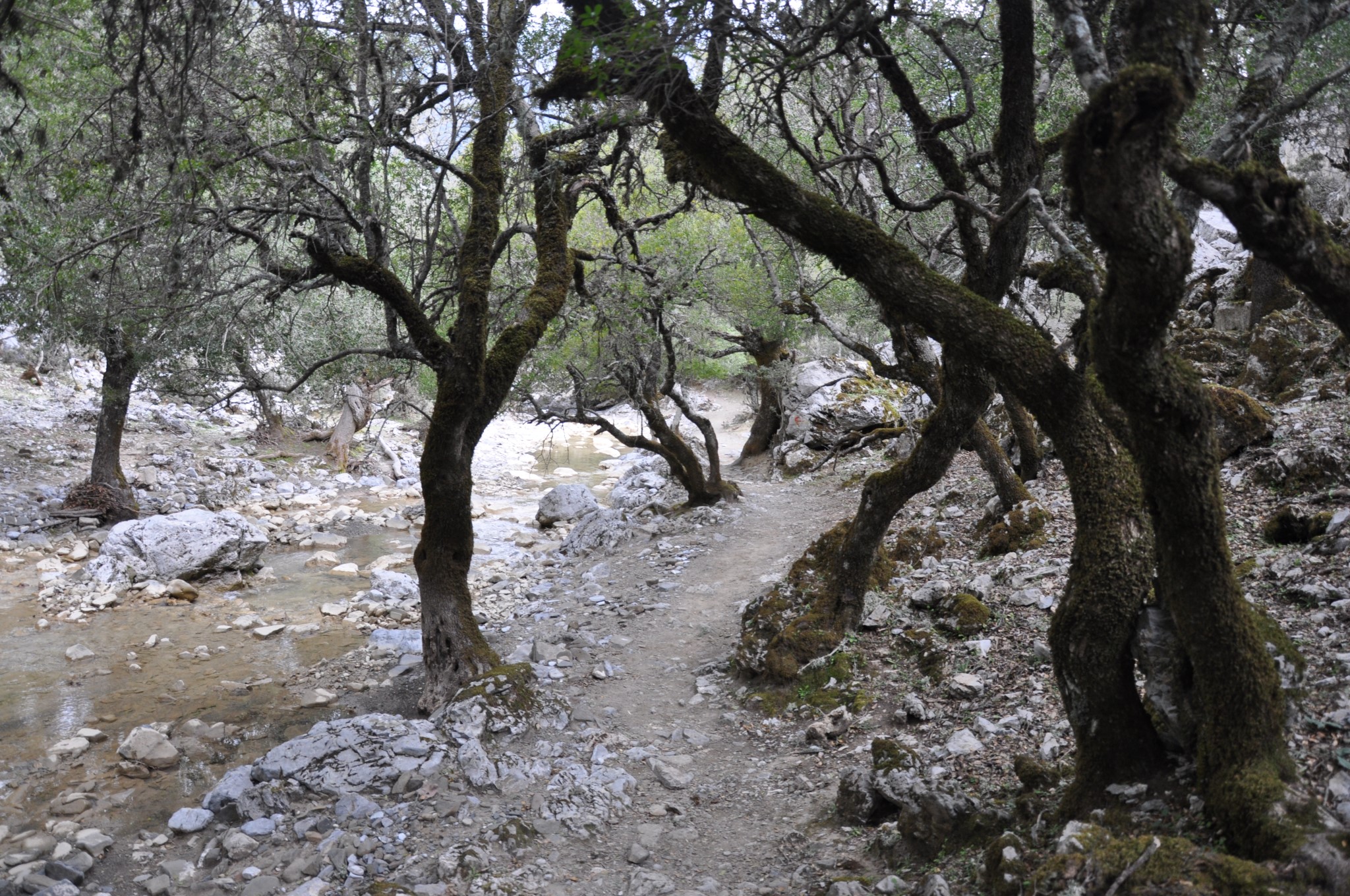
The trees of the area are very old, the diameter of their trunk in some cases exceeds 1 meter and their height can reach 15 meters. They grow in very dense formations, thus they constitute a unique forest biosociety, with many species of shrubs to complement the vegetation.
Along with holly trees, there are some other species which are typical of the Cretan flora such as aria, zelkova, cypress, pine, plane, pear trees, etc. The forest area covers about 30,000 acres. The rarity of the forest of Rouvas is related to the fact that holly trees escaped from the bushy typical shape and size and acquired characteristics and sizes different from those used in Greece.
This is possibly explained by the disappearance of adverse external factors (people - goats - etc.) that enabled shrubby oaks to evolve in the form that we see them today. On the slopes around the forest someone can see scattered “mitata” (shepherd houses), most of them being deserted today.
Proposed routes
First route: Zaros Lake - Saint John (2.5 +2.5 hours return)

If we walk in the E4 path that starts from the lake of Zaros, before entering the gorge of Rouvas, we will arrive at the monastery of Saint Nicholas| in 20 minutes, just off the canyon. The monastery is an ugly dissonance in the landscape and will not cause us any concern whatsoever.
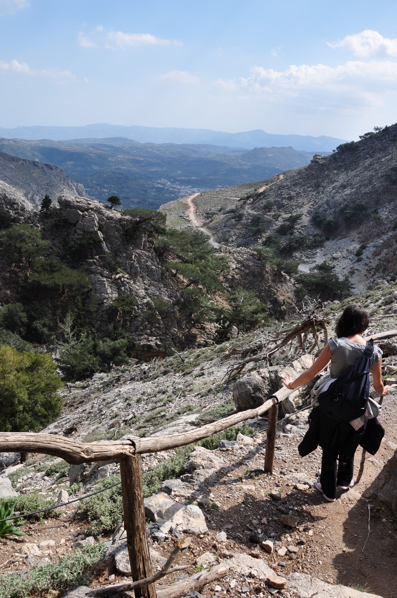
From the monastery starts an uphill path, which firstly runs through the old burned forest. At some points the views of Zaros and Messara plane is fantastic, especially at the position Samari. The trail soon enters into a narrow gorge where the vegetation begins to get dense and the slopes come closer to each other. This part of the gorge is called Gafaris.
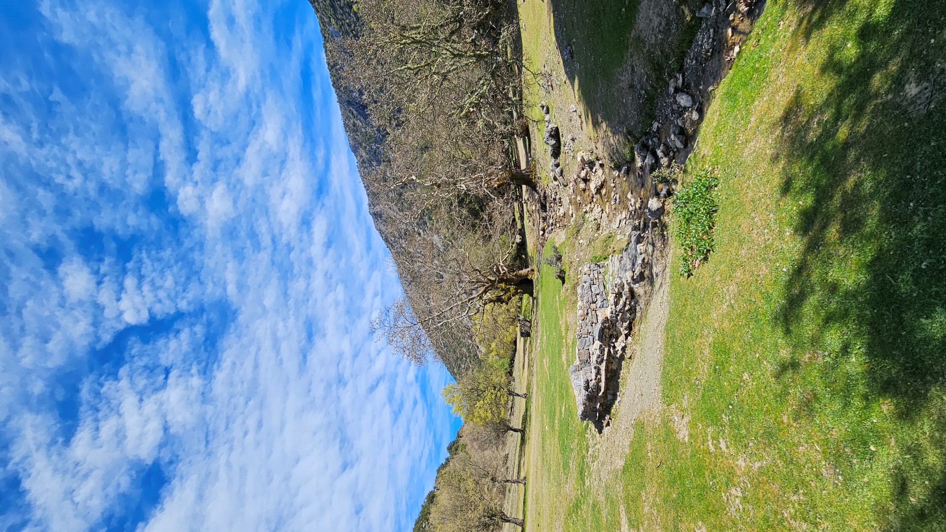
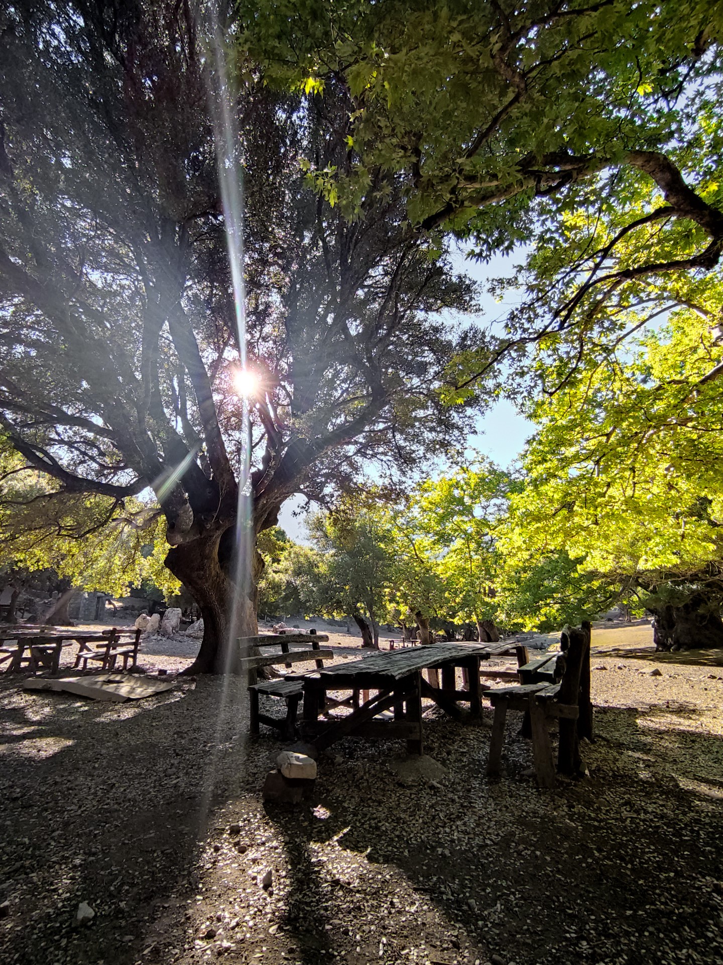
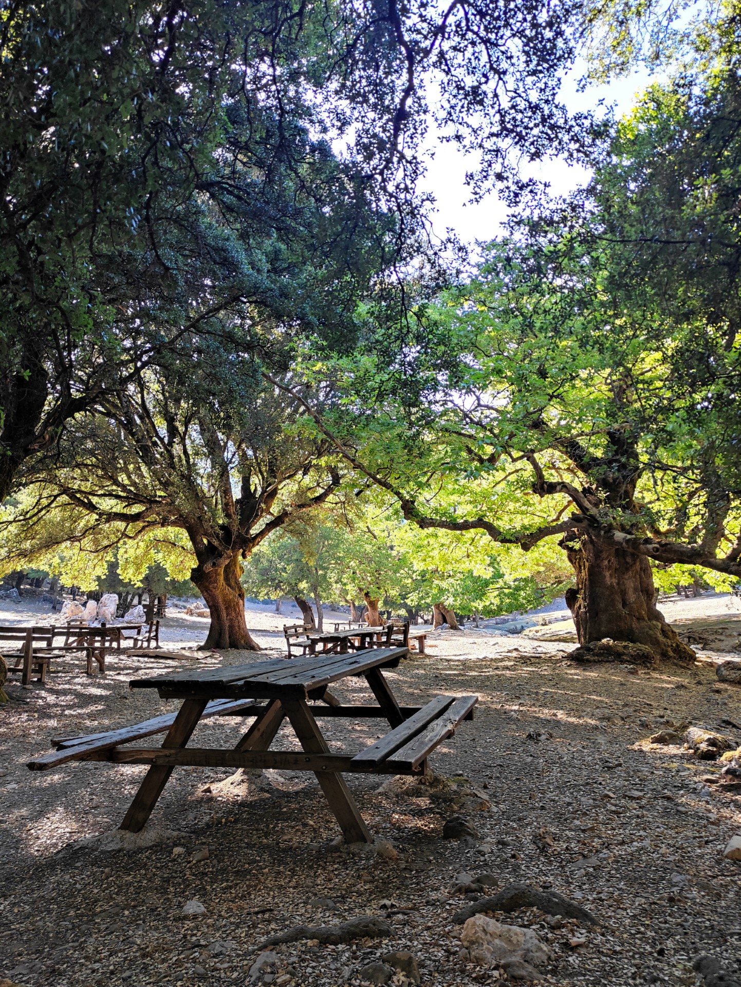
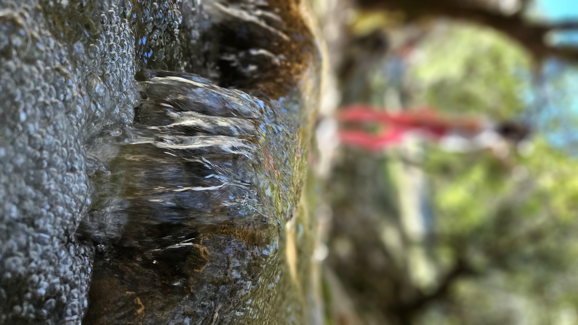
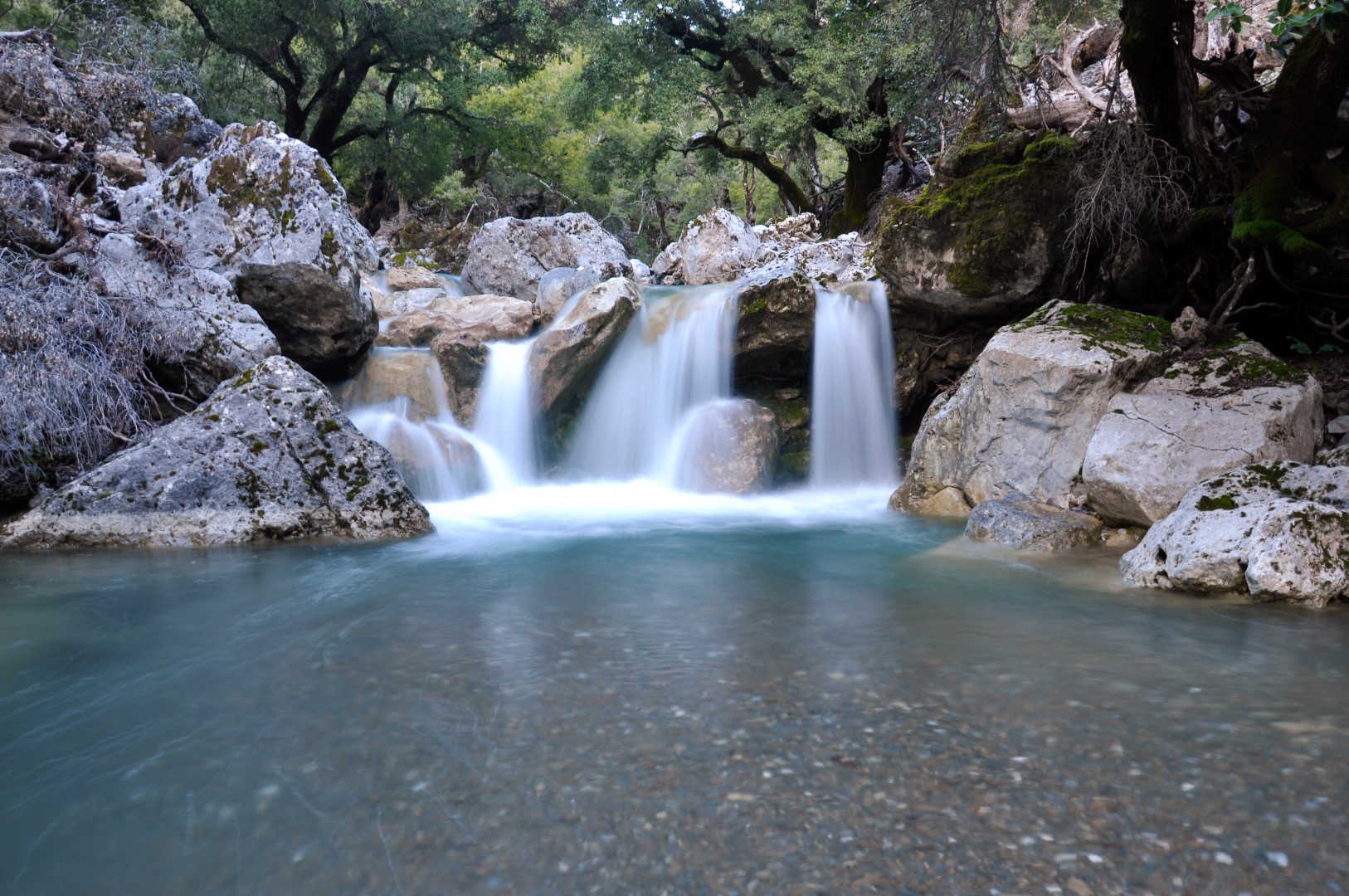
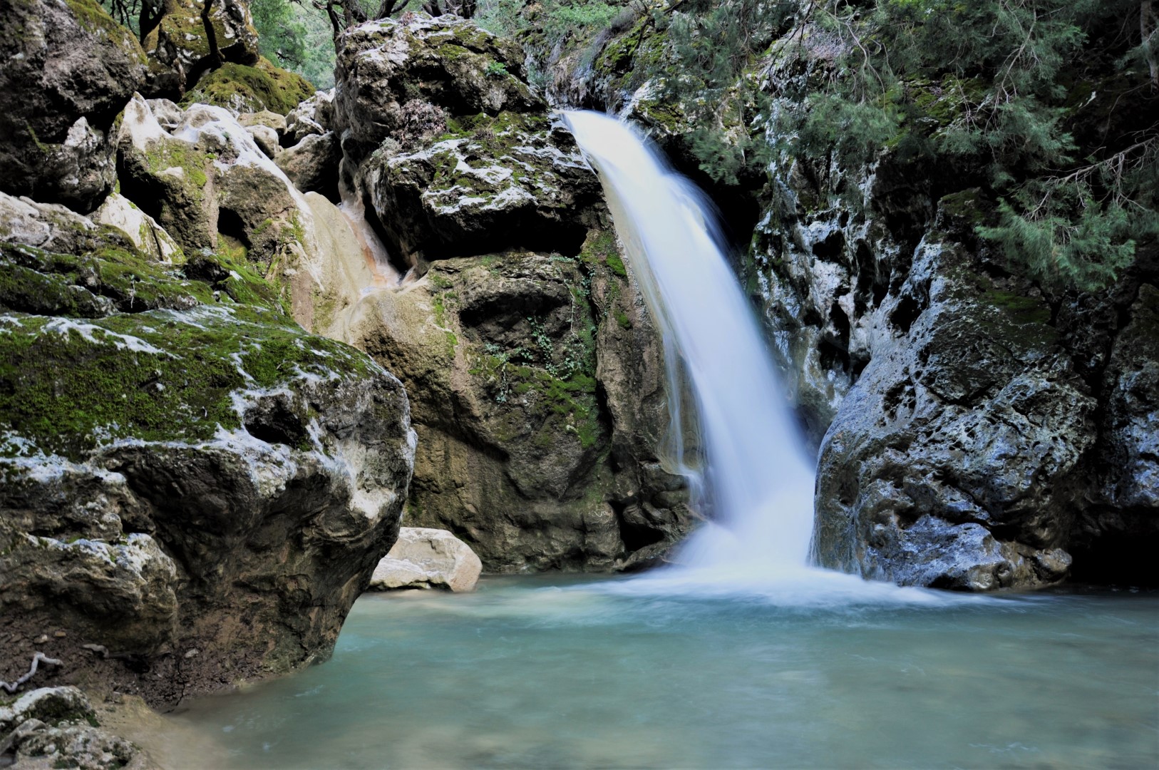
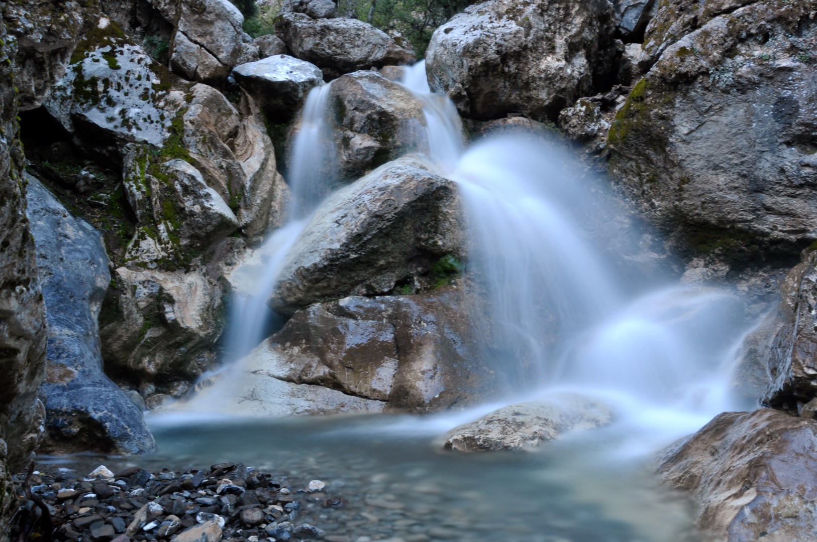
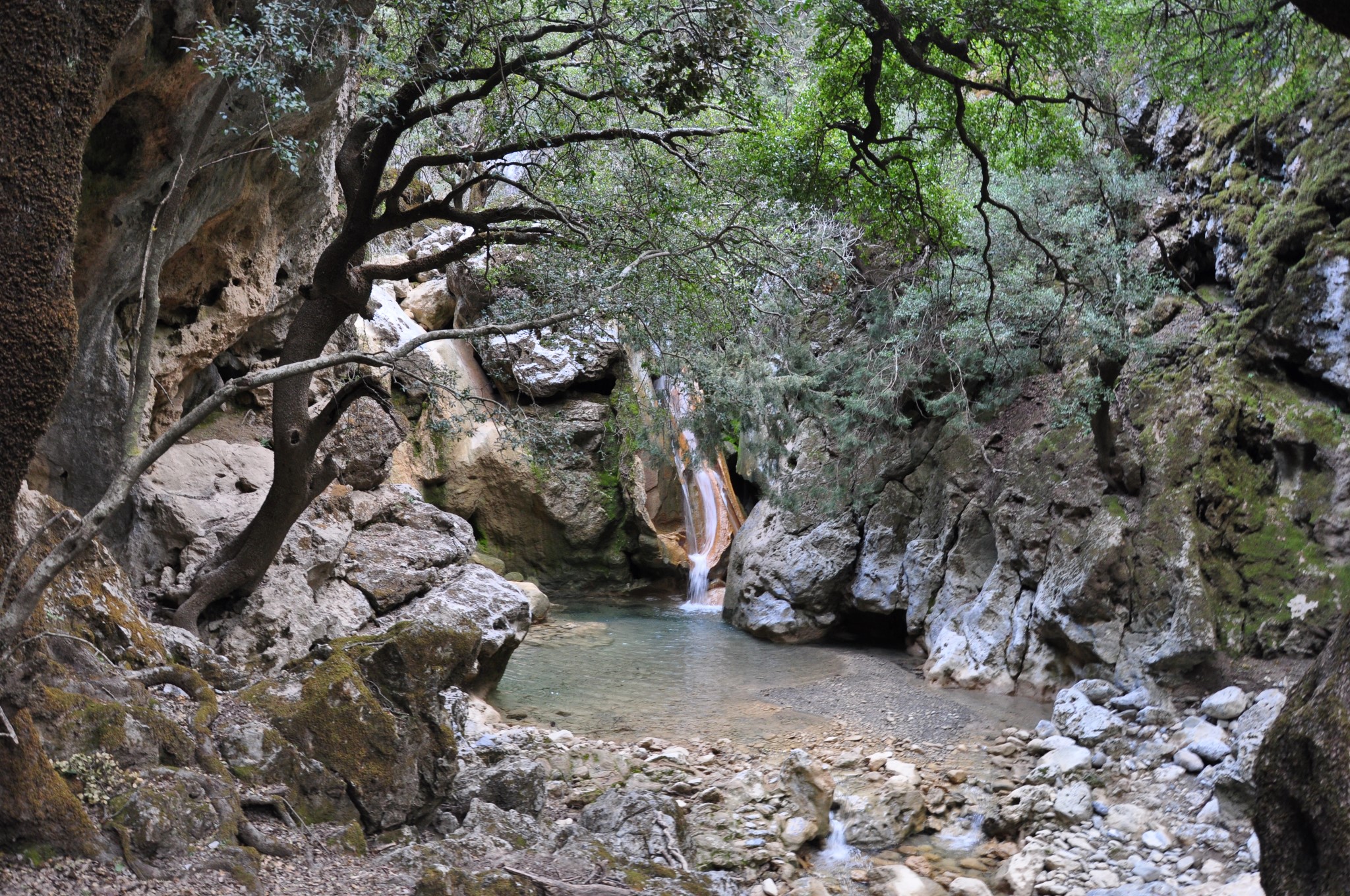
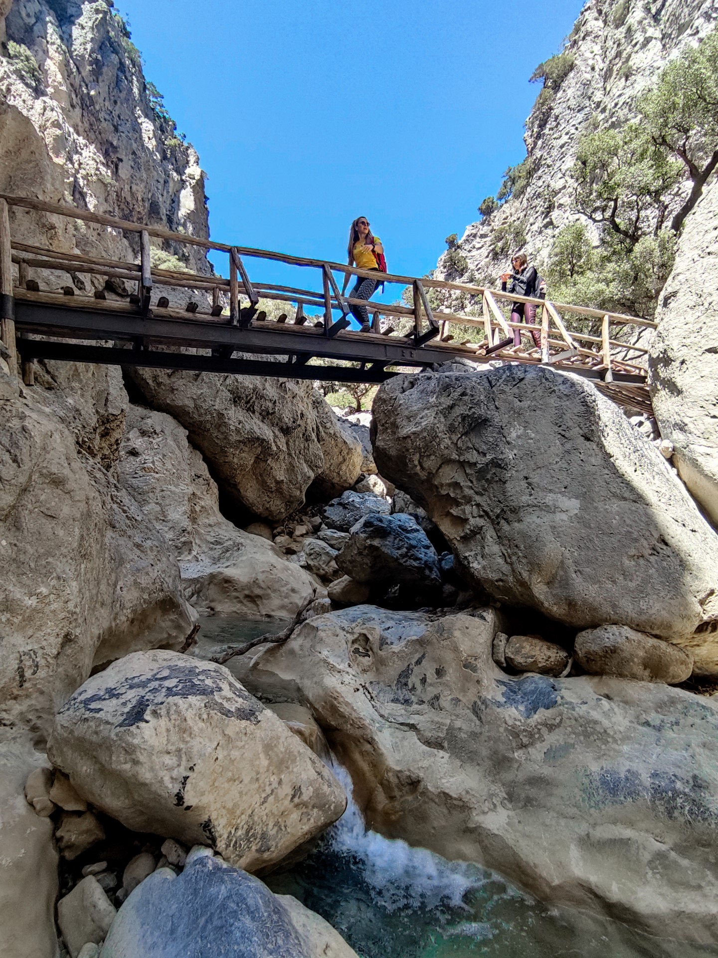
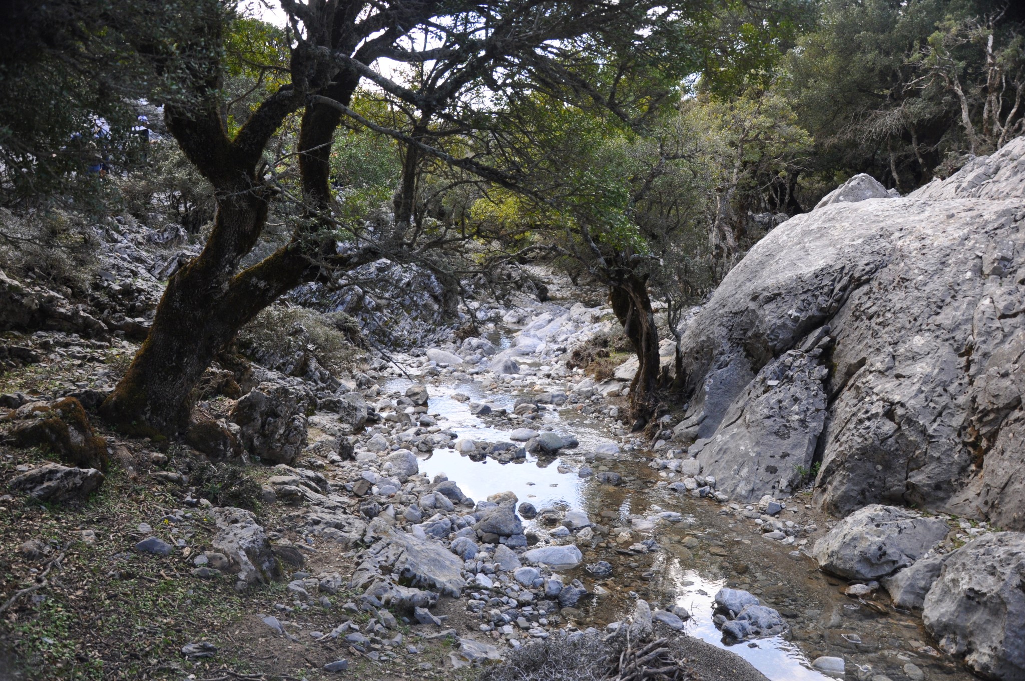
We then trek along the river bed, which has a lot of water on spring and several waterfalls and ponds are formed. We will pass the picturesque wooden bridge and continue in lush green gorge until we reach the heart of the forest, Agios Ioannis (St. John) area, after 2 hours.
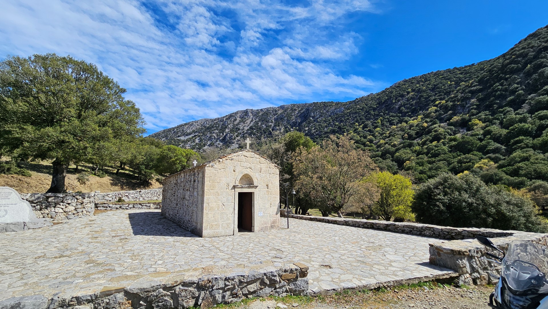
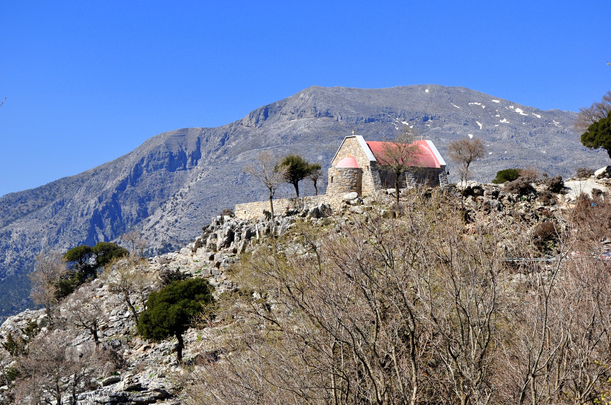
At St. John there is the homonym old chapel and the surrounding prairie is ideal for picnic and resting. There is a mountain shelter, toilets, benches and a spring where you can cool off. Saint John is also accessible by car from Gergeri and during some weekends it is overwhelmed by locals who enjoy the nature. From St. John you have to trek back in the gorge, unless you have someone to pick you up.
Second route: Psakofarago – Agios Ioannis - Lake Zaros (5 hours)
.JPG)
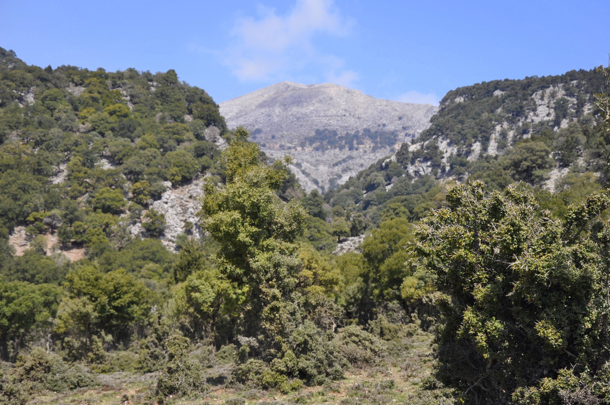

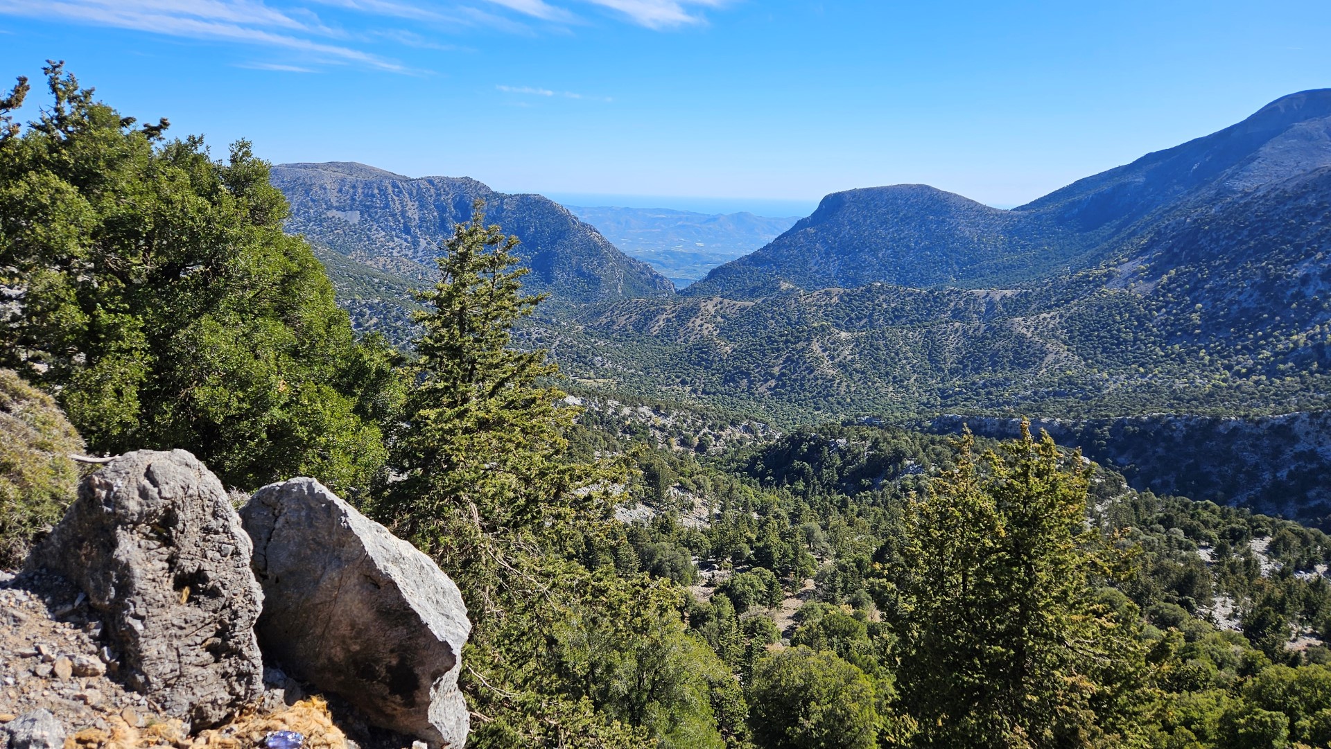
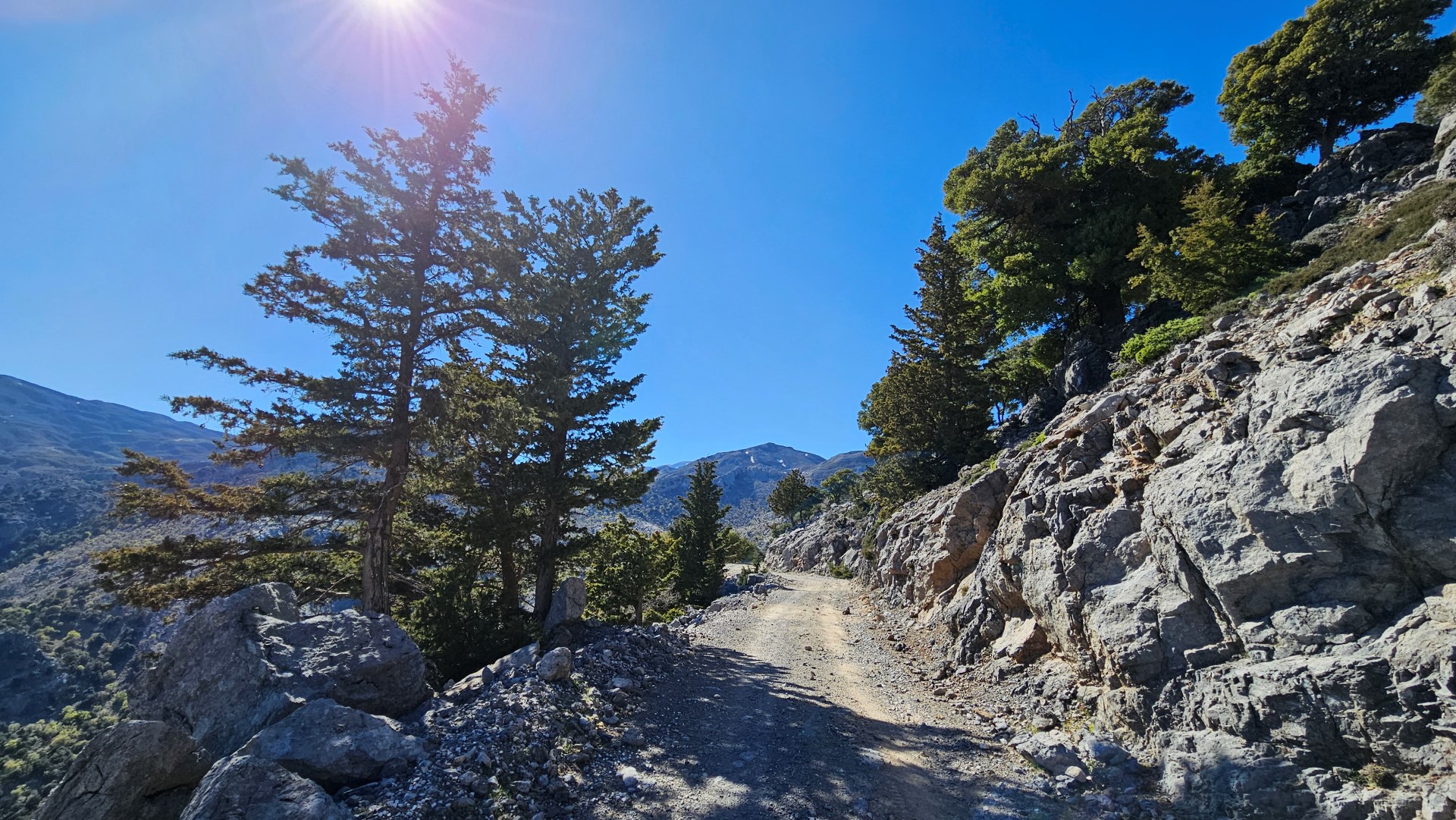
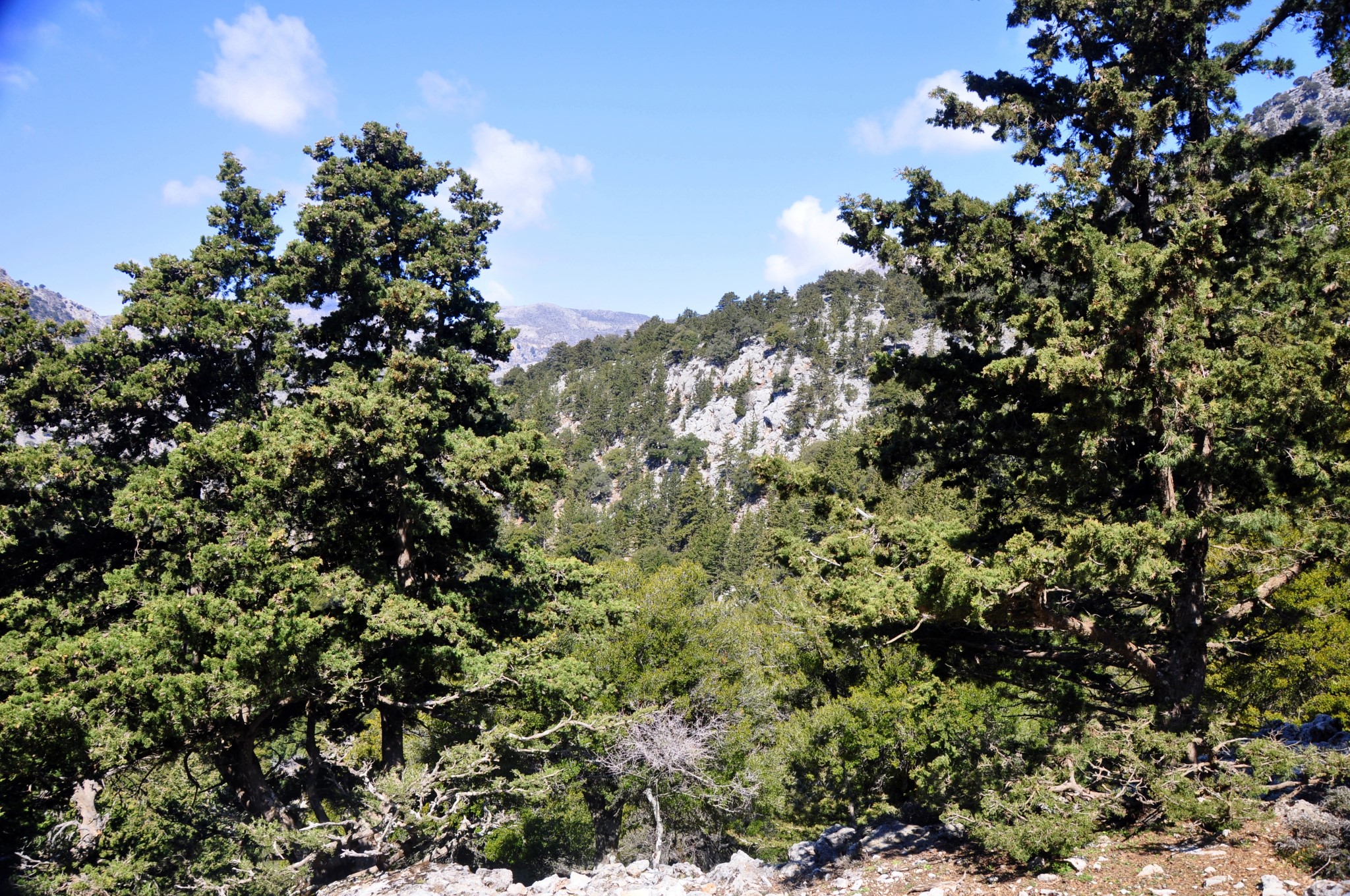
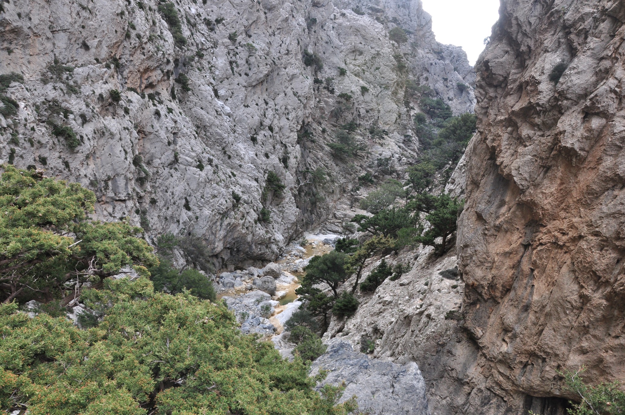
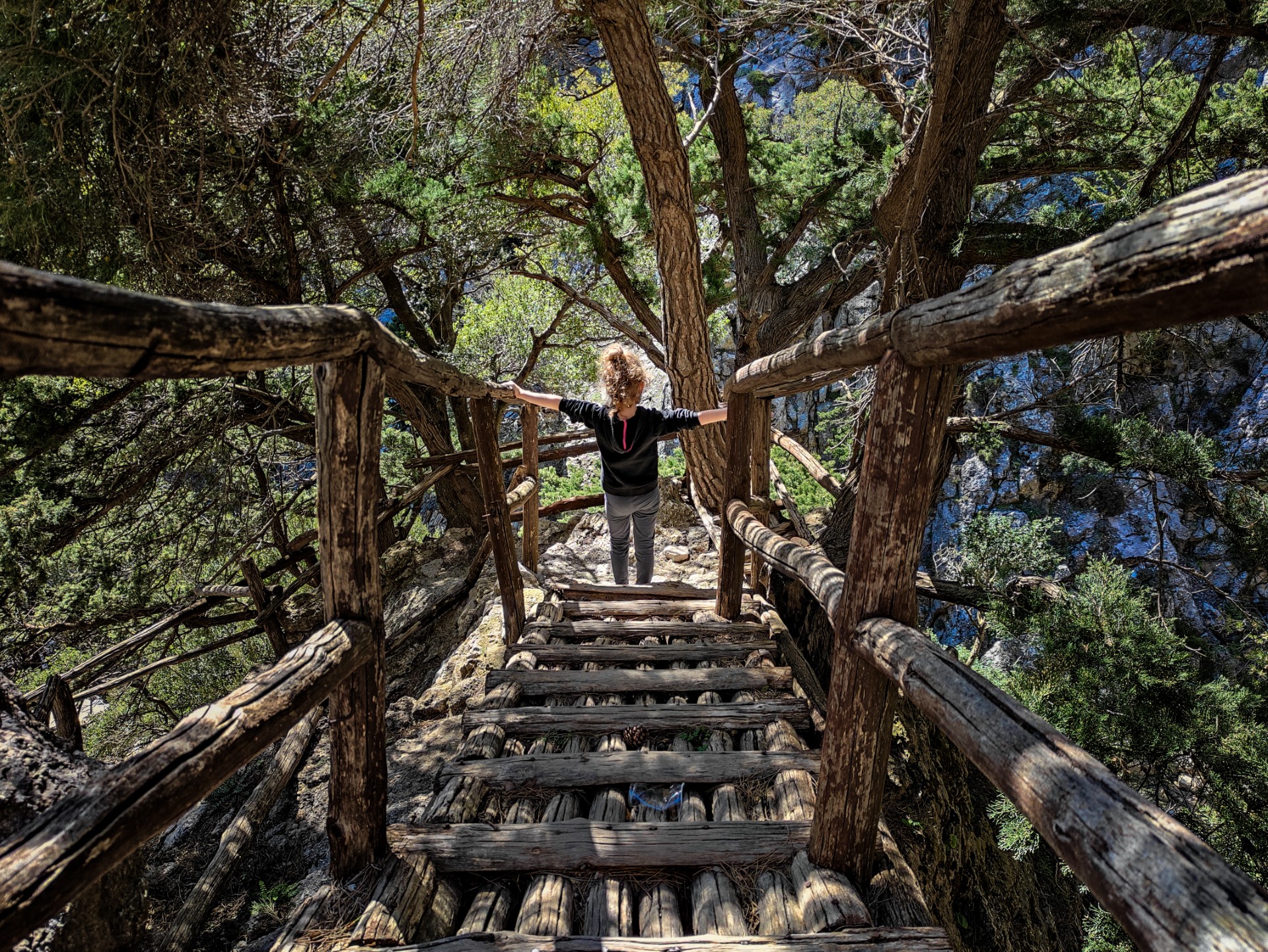
North of Agios Ioannis, there is the gorge Psakofarago (6km long), which is actually the upper extension of Rouvas gorge. The canyon starts quite close to the plateau of Nida and ends near Agios Ioannis. There is an easy well-marked trail that starts from the picturesque church of the Holy Cross (accessible from Gergeri or Anogia by car) and ends in Agios Ioannis and then, continuing through the gorge of Rouvas (described above) the route ends at the lake of Zaros. This route is very beautiful, but needs someone to transfer us to the Holy Cross chapel and pick us up from the lake of Zaros. There is also another tougher path from the opposite side of the forest.
Thus, we start from the Holy Cross, which was built in 2008 with stones from the region and is already a trademark of the place. Around you will see several circular stone structures, “mitata”, old stone-buildings which operated as primitive creameries on the Cretan mountains. Then we descend for an hour through the forest with cypress and oak trees till the riverbed of Psakofarago Gorge. Then we move along the gorge that initially forms a flat valley. Somewhere we find a well, where we can quench our thirst. Characteristic of the region are the low holly trees, called katsoprina.
As we walk along the river, the canyon narrows and the vegetation gets dense. At some points we see some cluttered dead trees, apparently hit by a thunderbolt. After 1.5 hours we reach Agios Ioannis, where we can relax, and then continue in the gorge of Gafaris till Zaros Lake, by following the earlier mentioned route.
What is near me?
Additional Info
- Length (km): 6
- Type: Hiking gorge, Signed trail, E4 trail
- Location: Heraklion Prefecture
- Water: Water till spring, Springs
- Difficulty (0-10): 2
- Altitude difference (m): 1000
- Hiking Hours: 2.5
- Accessibility: Dirt track


