")


 Trail Kamares - Vorizia - Zaros
The E4 trail connecting Kamares to Zaros is mainly signed with red marks and most of it runs along dirt and paved roads. The route offers nice views to the south outskirts of Psiloritis Range and the historical importance of the villages we come through is high. Due to being very easy, you can combine it with bike or even by car.
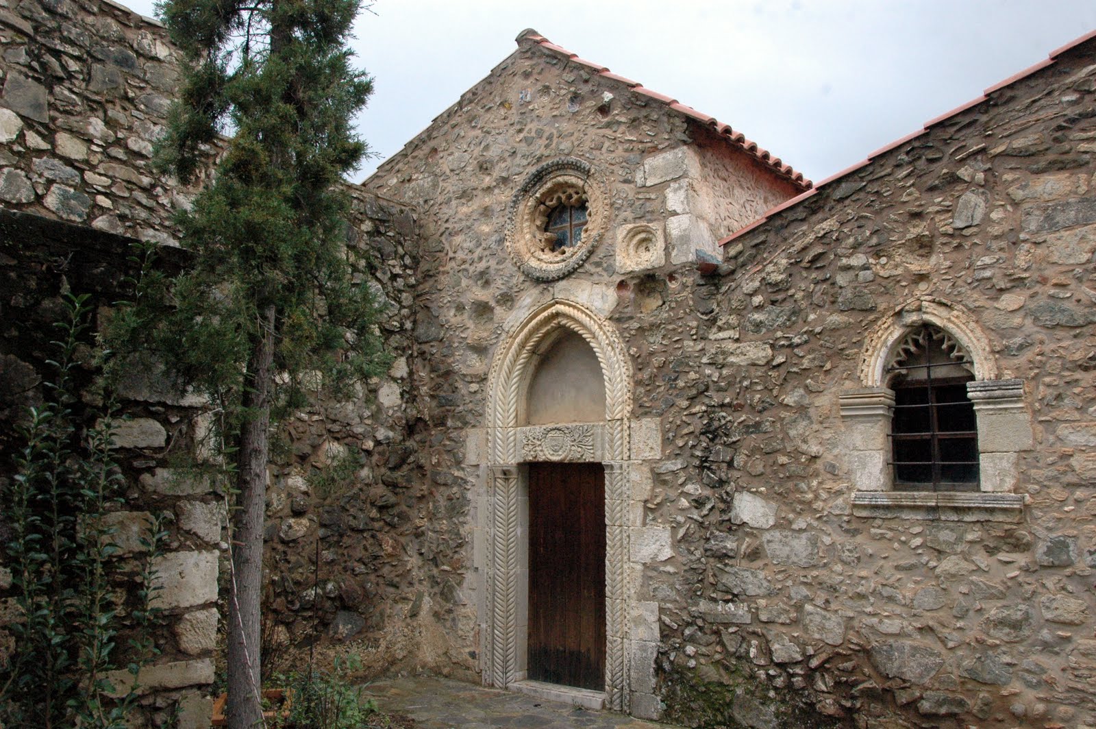
We start our course from village Kamares, where locals are mainly invlolved in stock breeding, and walk to the east along the main road till we reach the historical village Vorizia. Vorizia was bombed and totally destroyed by the Germans during World War II and still waits for justice. We can visit the small museum dedicated to this black page of its history and get the road to Varsamonero monastery, dedicated to Saint Fanourios. The temple, apart from the very important arhitectural parts, bears some exquisite frescoes dating back from the 14th century.
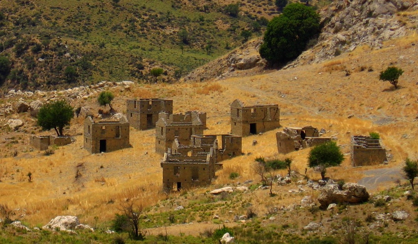
From Varsamonero we head eastwards and soon come by a deserted settlement. This ghost village is called Nea (New) Vorizia and was erected after the World War II for housing the residents of levelled Vorizia. However, the locals preferred to rebuild their village and Nea Vorizia was never inhabited. We keep walking to the east and meet one of the most important Byzantine monasteries in Crete, Vrondissi, dedicated to Saints Anthony and Thomas. The trademark of the monastery is the relief fountain depicting Adam and Eve, being the nicest (surviving) fountain in Cretan countryside.
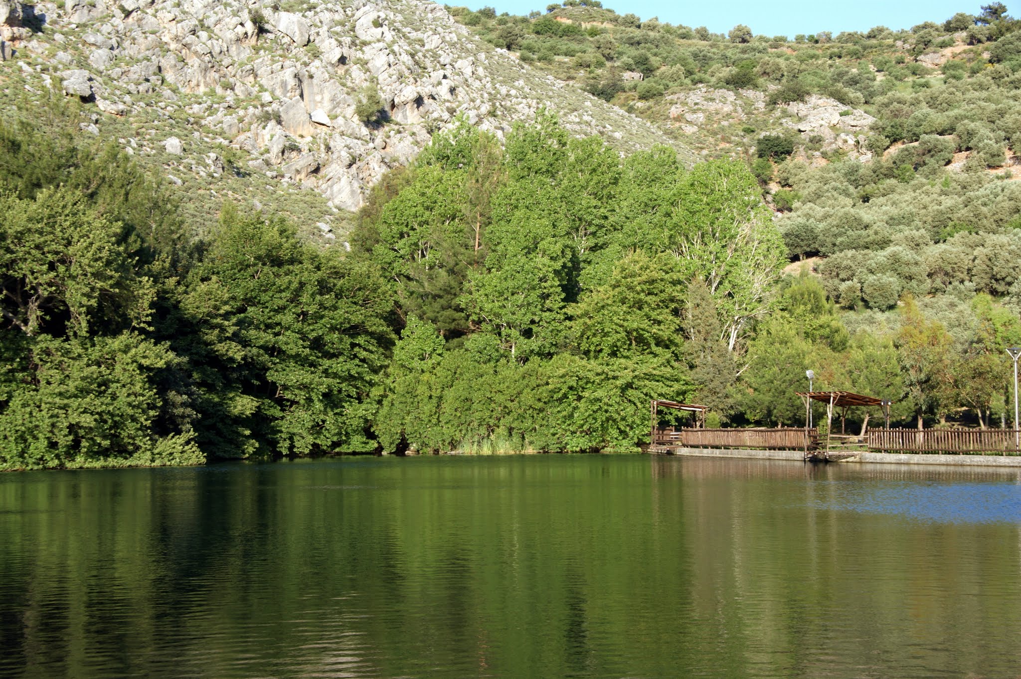
The next and last stop is Zaros at the exit of the imposing gorge of Rouvas. The place is famous for its mills and ancient aqueducts, watered by the numerous springs. We should wander in the village alleys, visit the small folklore and geology museum and the restored water mill and finish our course in the small lake Votomos, where we can enjoy our coffee and food (the taverns offer trout from the lake).

.JPG)
.JPG)
What is near me?
Additional Info
- Length (km): 13
- Type: E4 trail
- Location: Heraklion Prefecture
- Difficulty (0-10): 1
- Hiking Hours: 4:00
- Accessibility: Paved road, Dirt track


