")


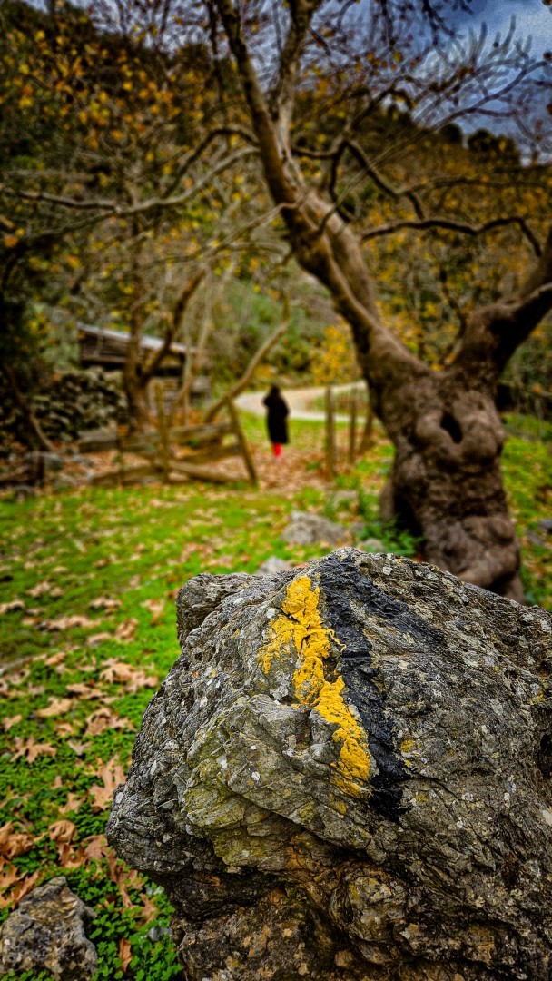
 Vilandredo Gorge (Kollita)
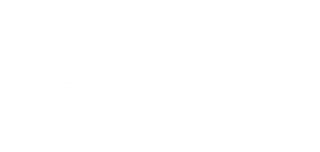
Kollita Gorges, meaning Twin Ravines are located near the picturesque village Argyroupolis, about 22km southwest of Rethymnon city. They are named so, as they consist of two parallel canyons that end near the village Kato Poros. The easternmost canyon is called Moundros Gorge,, and is bounded to the east by the peak Vigla (567m) and to the west by the hill Nissiani, where the deserted settlement Nissi is located. To the west of Moundros gorge, is the gorge Vilandredo named after the village Vilandredo at its entrance and mostly known as Kollita Gorge.
Hiking in the gorges is ideal for non-expert walkers as it is very easy and the beauty is amazing. Indeed, it is appropriate for groups of friends, who can park their car in Kato Poros or Argyroupoli, walk in Moundriano canyon and then walk back through the second Kollita Gorge, so this is a circular route.
Proposed route in two gorges
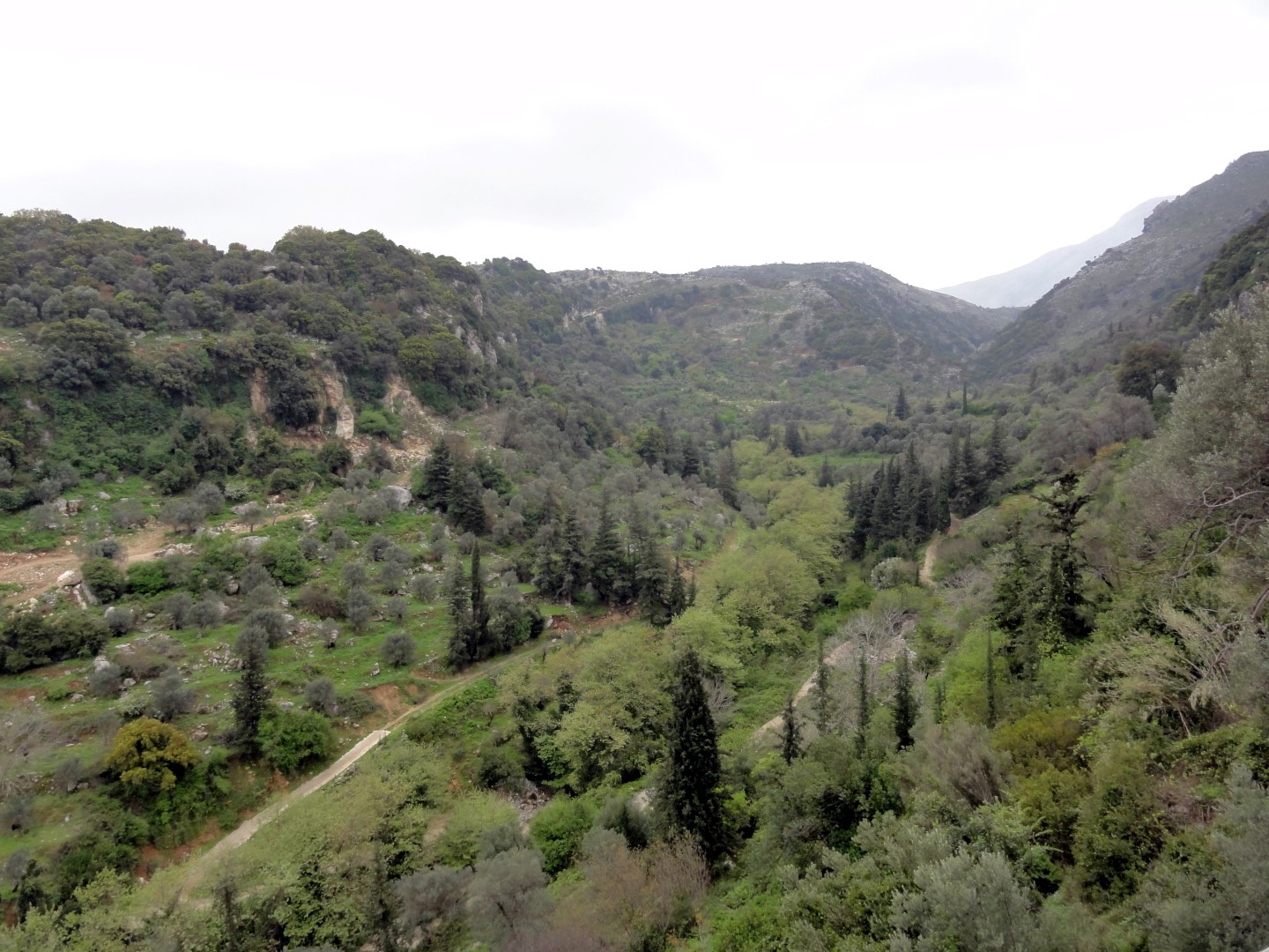
Starting from the lush green Argiroupoli, where the ancient city of Lappa was built, we head eastwards to the village Moundros, famous for its springs and fountains. The village has many beautiful Venetian buildings (old courts, prisons and houses of nobles) and it is worth visiting the churches of Saint Constantine, Saints Anargyri (11th century) and Saint Nicholas. Thus, you should not miss walking in the narrow streets of Moundros. Near Moundros, there is the abandoned settlement of Nissi, known for its wonderful stone buildings.
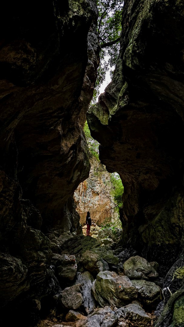
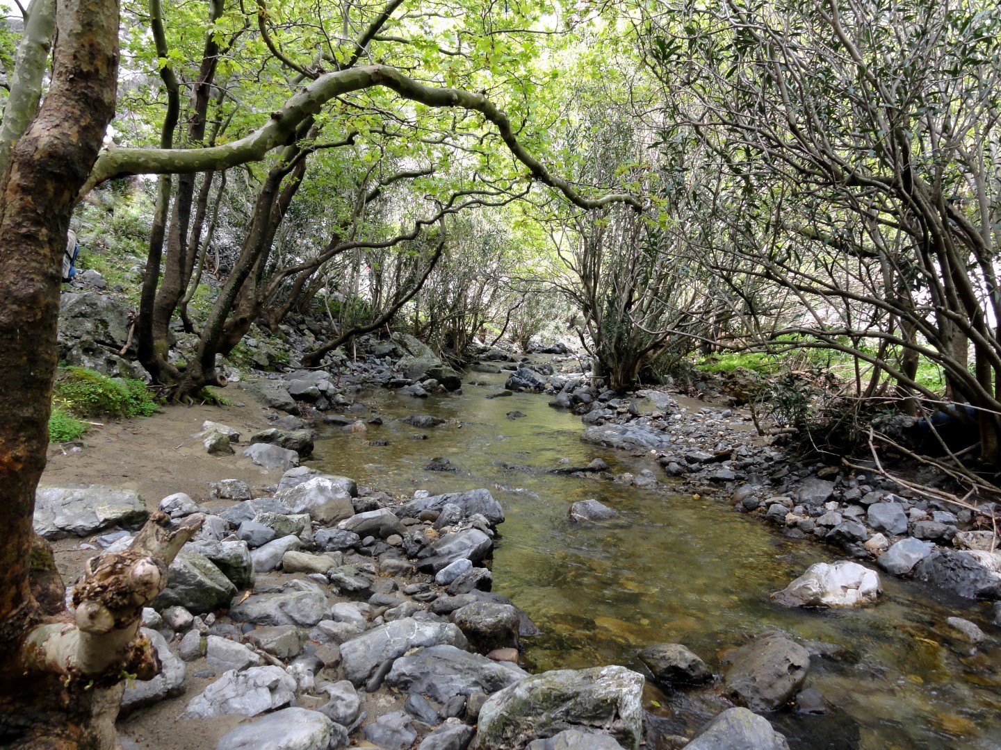
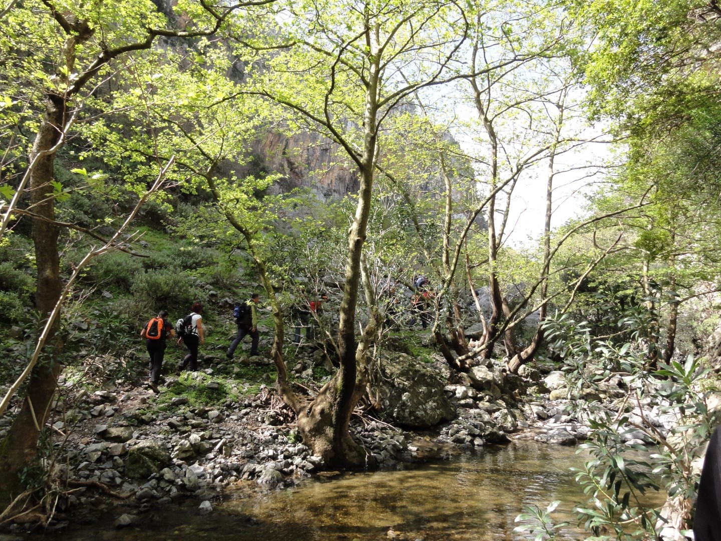
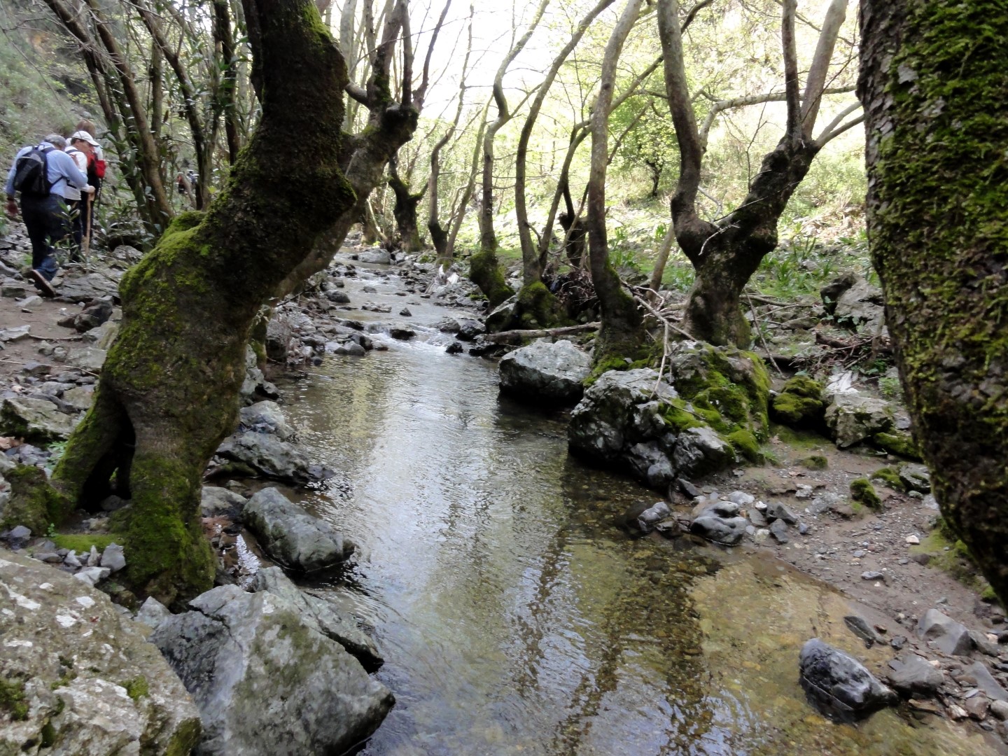
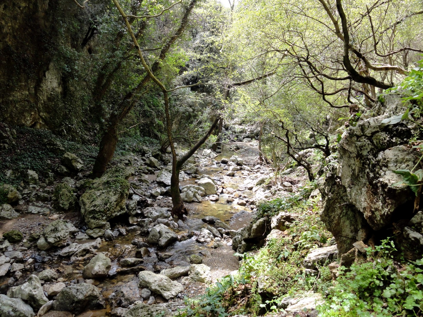
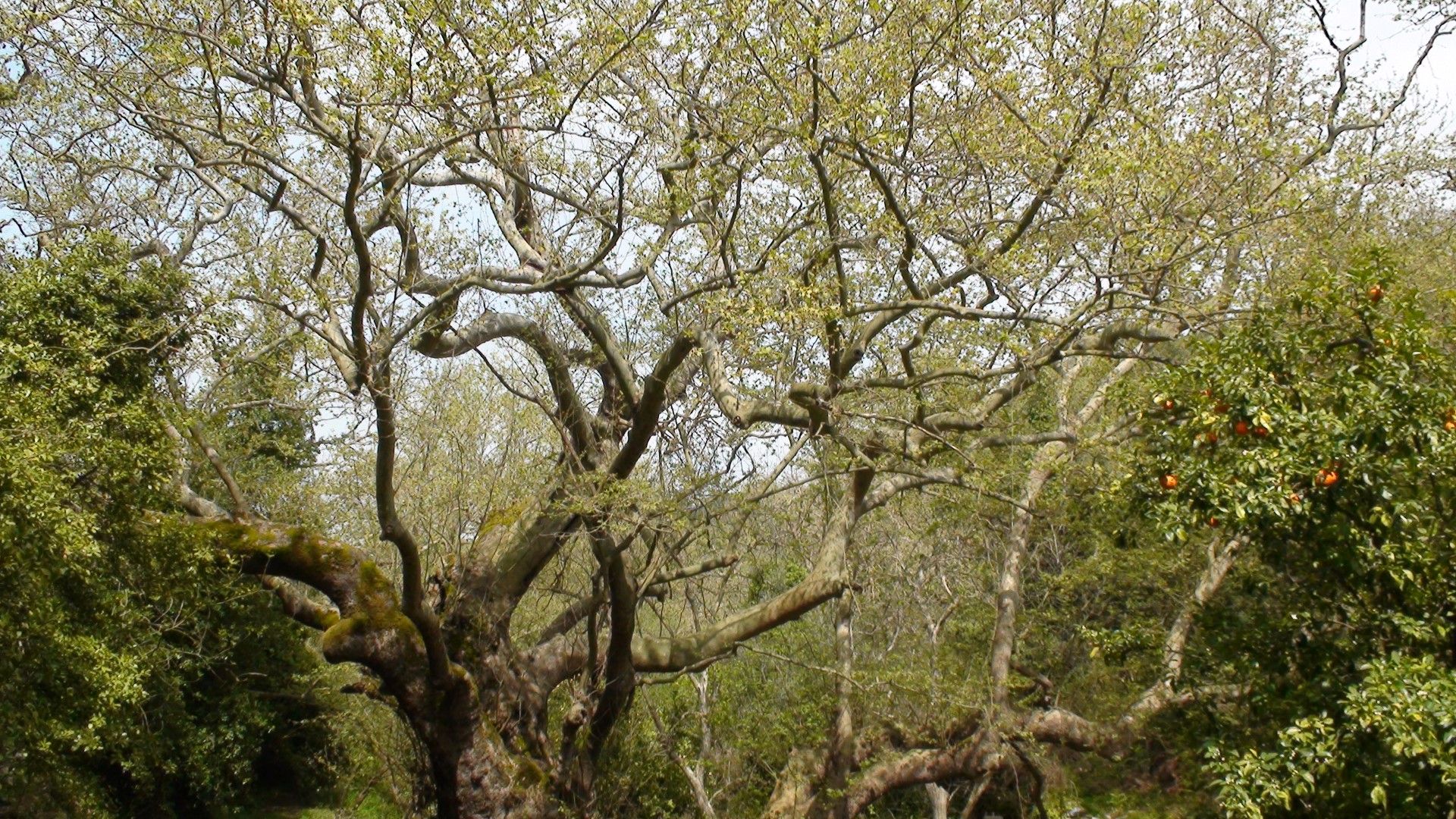
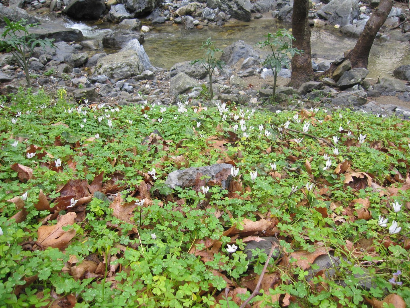
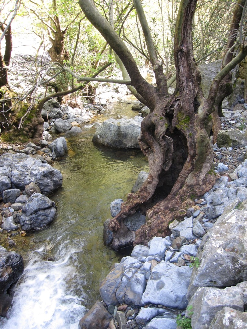
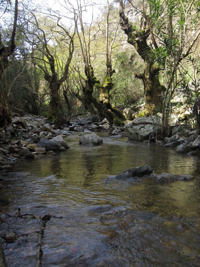
From the village you can head to the northern entrance of the green Moundros gorge, which leads to the village Velonado. There is a well-formed path which descends to the riverbed, which has water most of the time of the year. The canyon is full with towering plane trees and there are several ponds with fresh water. After about 1.5 hours of walking, we arrive at the south entrance of Moundriano Gorge, near the village Velonado.
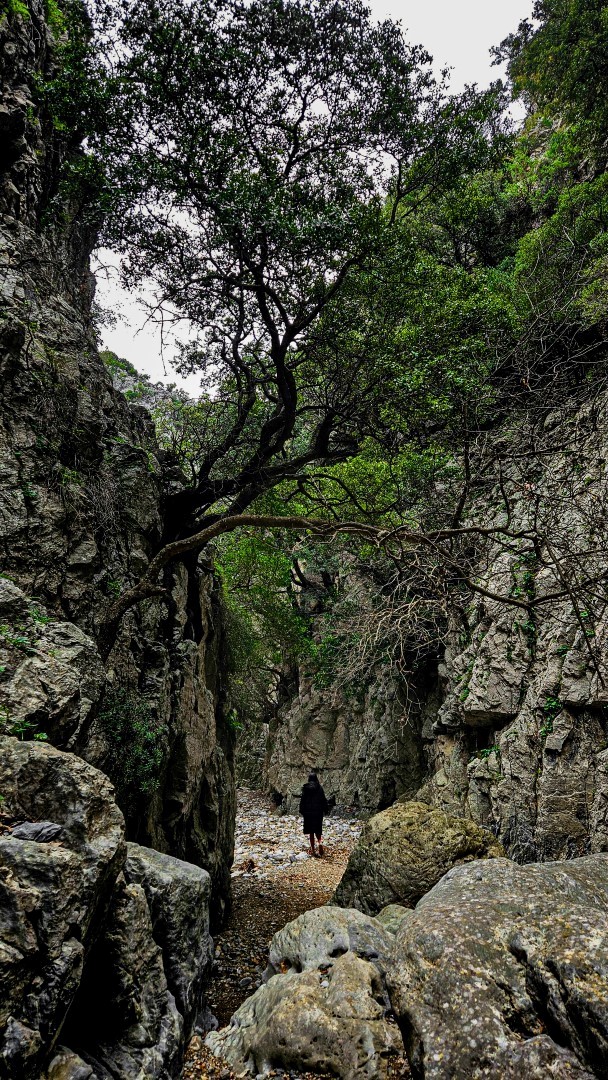
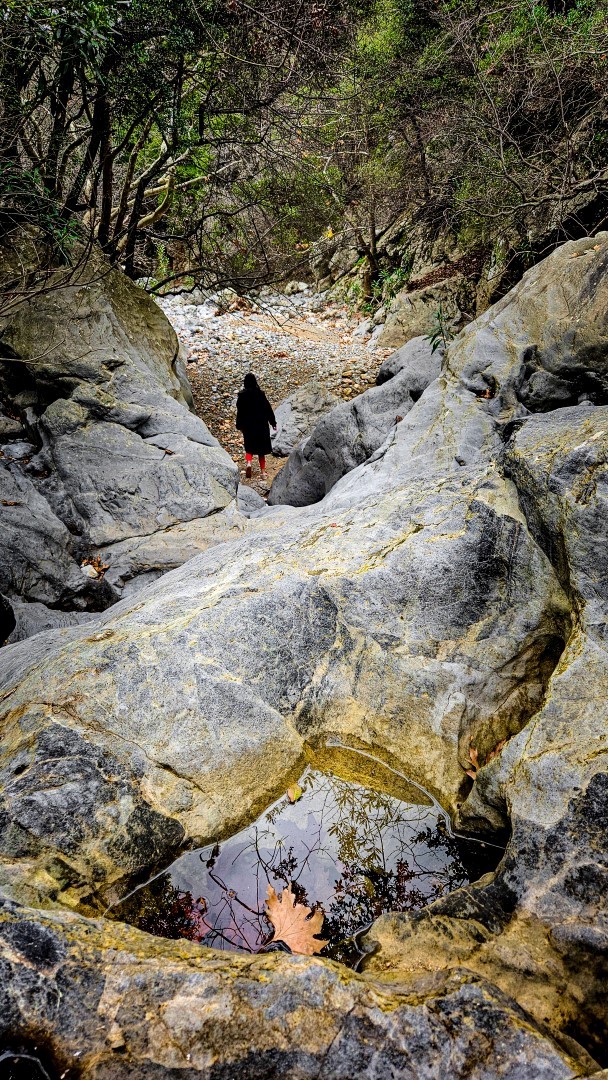
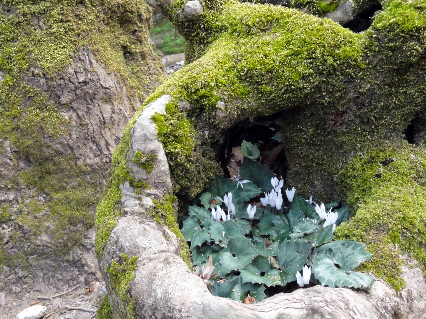
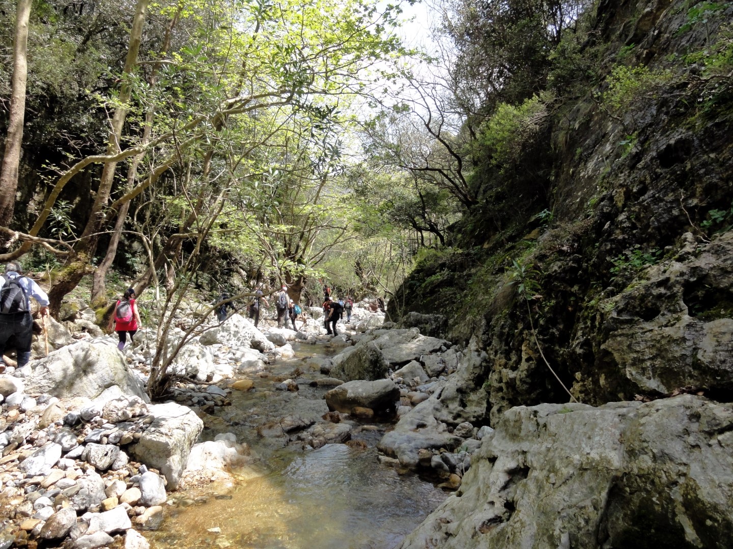
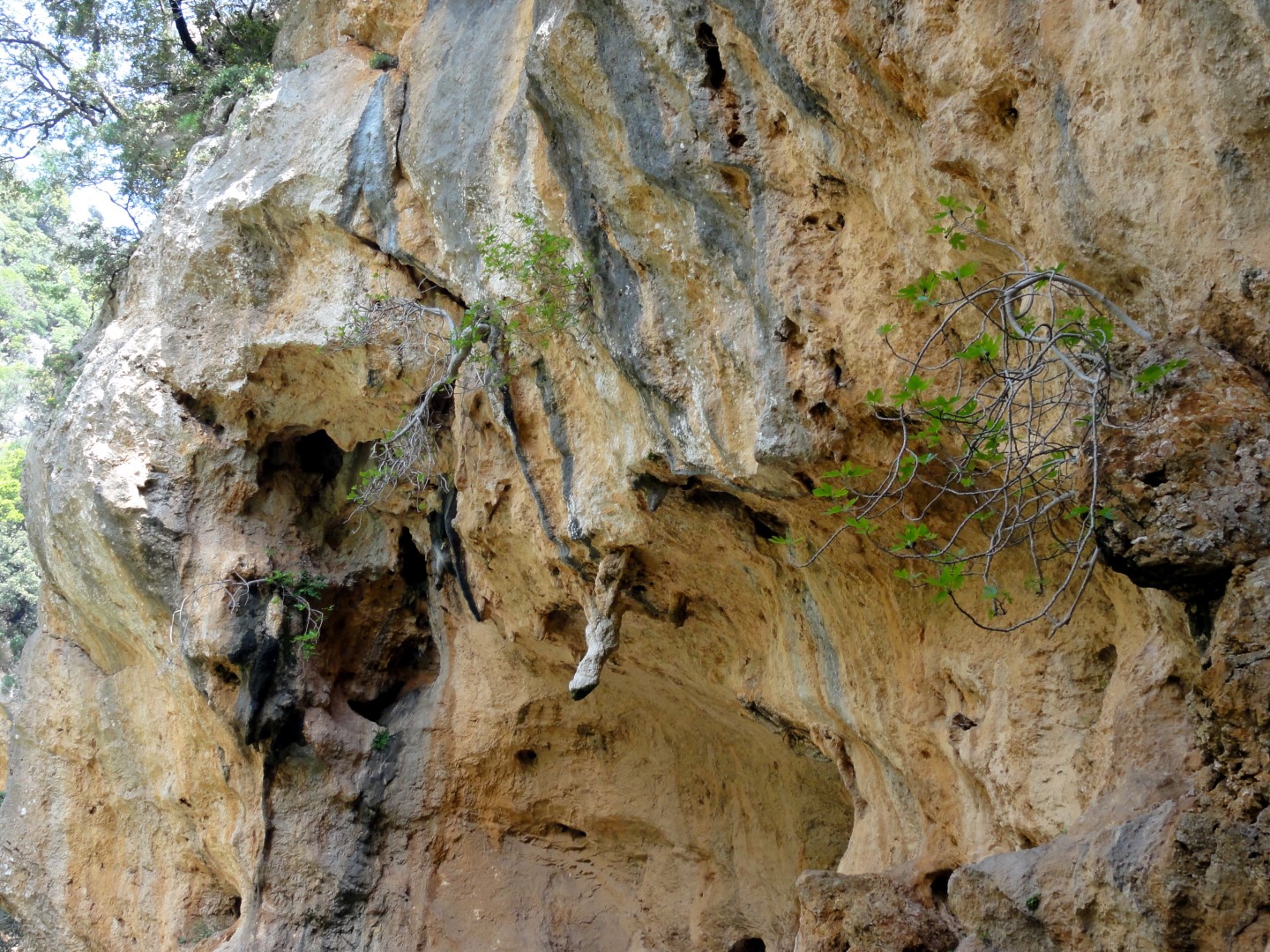
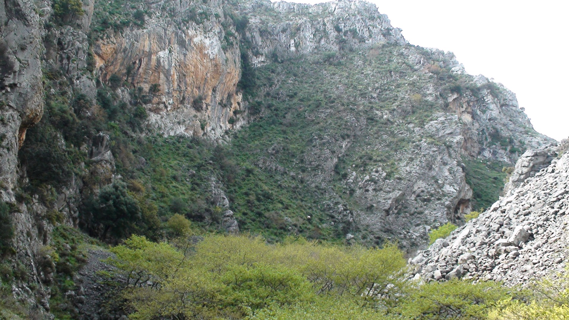
Once we get out of the canyon, we head westwards through the asphalt road to the entrance of the second canyon, namely Kollita Gorge, near the village Vilandredo. We enter the canyon, which is more imposing than Moundriano. It is lush, full of plane trees, and the route runs along the riverbed. The most beautiful part of the canyon is where its tall walls almost meet, leaving a very narrow passage. On the gorge slopes we’ll see several fig and holly trees, hovering over our heads. We continue our journey and after a total of four hours we exit the canyon, which’s water once supplied the Roman baths of Lappa, current Argyroupolis.
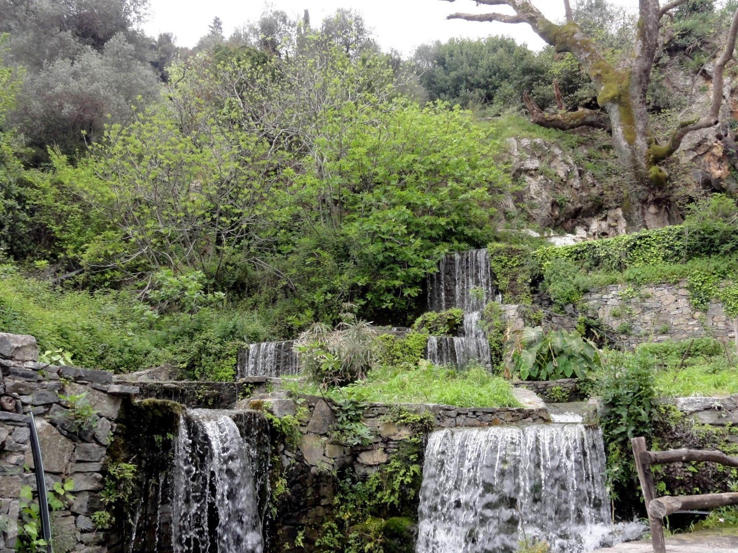
Following the old stone path within laurels, myrtles and hollies, we reach Kato Poros and the area of Pente Parthenes (Five Virgins). There is the spring below the perennial plane tree of Pente Parthenes, the chapel of the Five Virgins and Hellenistic and Roman tombs of Lappa. From here the trail widens and leads us to the lush green Argiroupoli. In Argiroupoli, it is worth seeing the Venetian buildings, the churches and the scenic alleys. A well known attraction is the springs of Argyroupolis, with the most interesting the spring in the cavernous chapel of Agia Dynami. The area is lush with several small waterfalls and many restaurants.
.jpg)


What is near me?
Additional Info
- Length (km): 4
- Type: Hiking gorge, Signed trail, E4 trail
- Location: Rethymnon Prefecture
- Water: Water till spring, Springs
- Difficulty (0-10): 2
- Altitude difference (m): 180
- Hiking Hours: 2.5
- Accessibility: Paved road


