



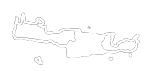




 Erganos Gorge
On the southeast side of Afendis Christos summit, above the villages Embaros you will meet the verdant vineyards at Erganos plateau at 900 meters altitude. The water gathered from the melting snow of the surrounding slopes and from many springs of the region form the main tributary of the Anapodaris river, Baritis, which crosses the plateau of Erganos and forms the rugged canyon of Erganos.
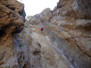
The overgrown plane trees, cypresses and oaks make the canyon of Erganos a natural jewel for the entire region. It is passable for trekkers only for a very small part. After the first 20 minutes of descent, the landscape changes and creates a unique sculpture of nature with very narrow walls and impressive waterfalls in 9 different locations, where rappelling equipment is required.


During the cold months the waterfalls carry large quantities of water, while at 3 points of the gorge there are springs that flow throughout the year. At the top of a steep hill on the west bank of the gorge, there are the ruins of the ancient town of Erganos, which somewhen stood there like a natural fortress. In the main stream of the gorge fall even two subcanyons: the Psaros Nero and Ralli, which also form impressive waterfalls and are only accessible with canyoning equipment.
Nearby places of interest
Straight-line distances
 0.5 km
Psaro Nero Gorge
 1.1 km
Erganos Plateau
 2.5 km
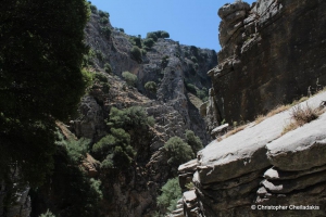
Psoraris Gorge
 2.9 km
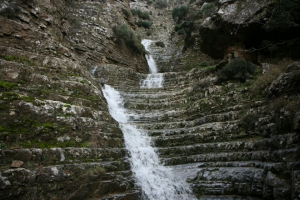
Eligas Gorge
 3.1 km
Omalos Lake at Viannos
 3.4 km
Omalos Plateau at Viannos
 3.8 km
Panagia church at Detis
 3.9 km
Church of Saint George at Embaros
 4.1 km
Agia Pelagia church at Ano Viannos
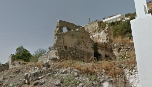 4.3 km
Viannos Towers
 4.3 km
Folklore Museum of Viannos
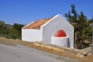 5.4 km
Saint George church at Ano Viannos
 5.4 km
Lord Christ Church at Kato Viannos
 5.8 km
Monument and Museum of German Attrocities in Viannos
 6.3 km
Church of Agia Marina at Moulefe
 6.6 km
Trail Agios Georgios - Limnakaro - Varsami - Selakano
 6.6 km
Agia Moni monastery in Viannos
 6.8 km
Shelter Strovili (Limnakaro)
Additional Info
- Length (km): 3
- Type: Canyoneering equipment needed
- Location: Heraklion Prefecture
- Water: Generally dry, Springs
- Difficulty (0-10): 7
- Altitude difference (m): 350
- Hiking Hours: 3
- Accessibility: Walking
- Maximum Rapel Height (m): 10


