







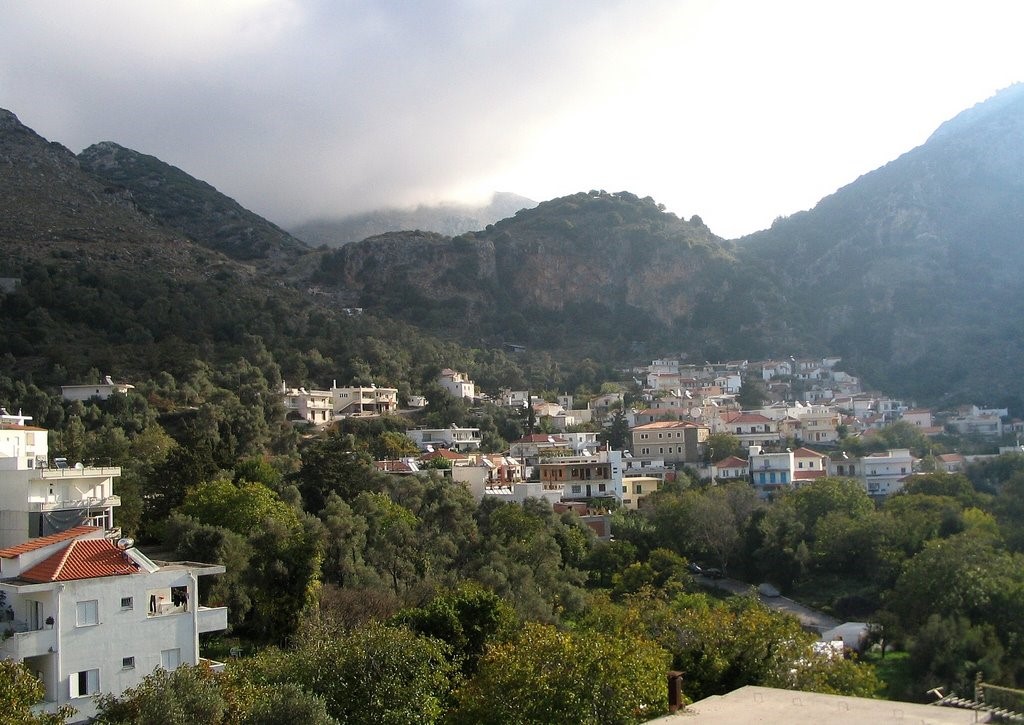
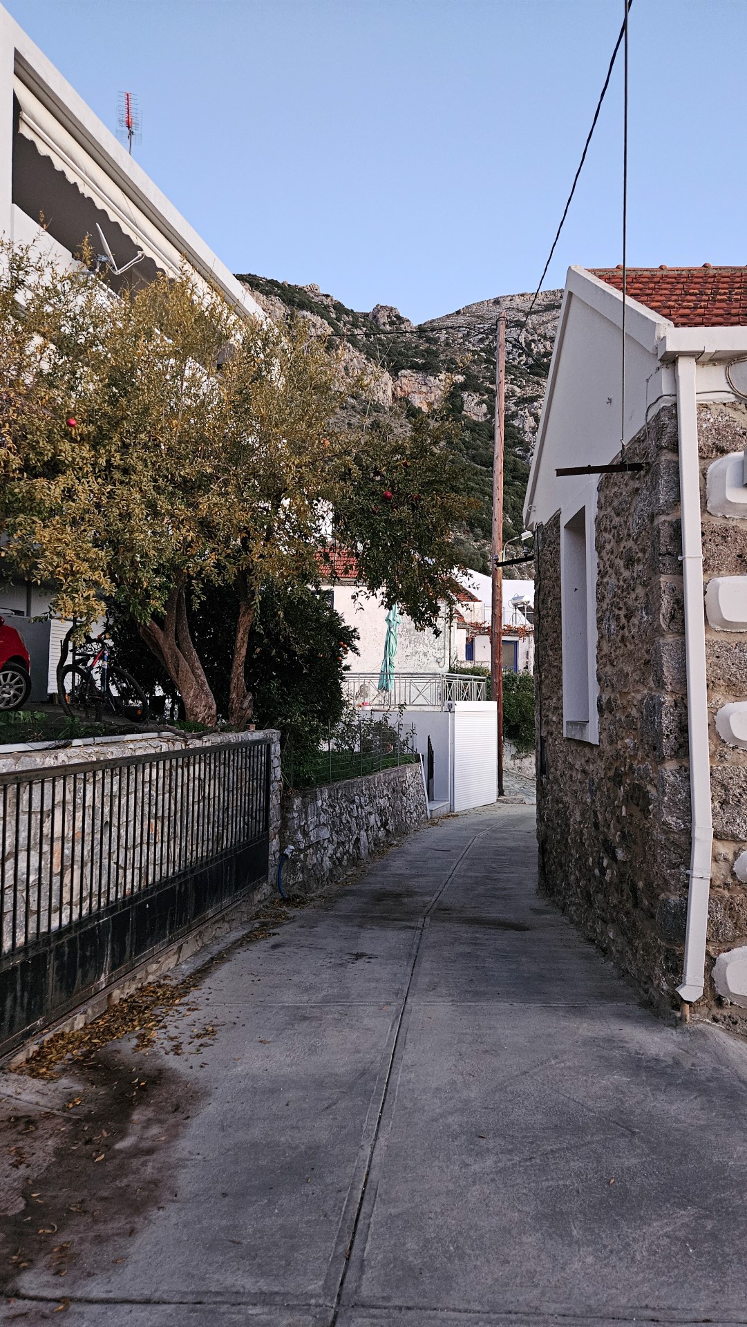
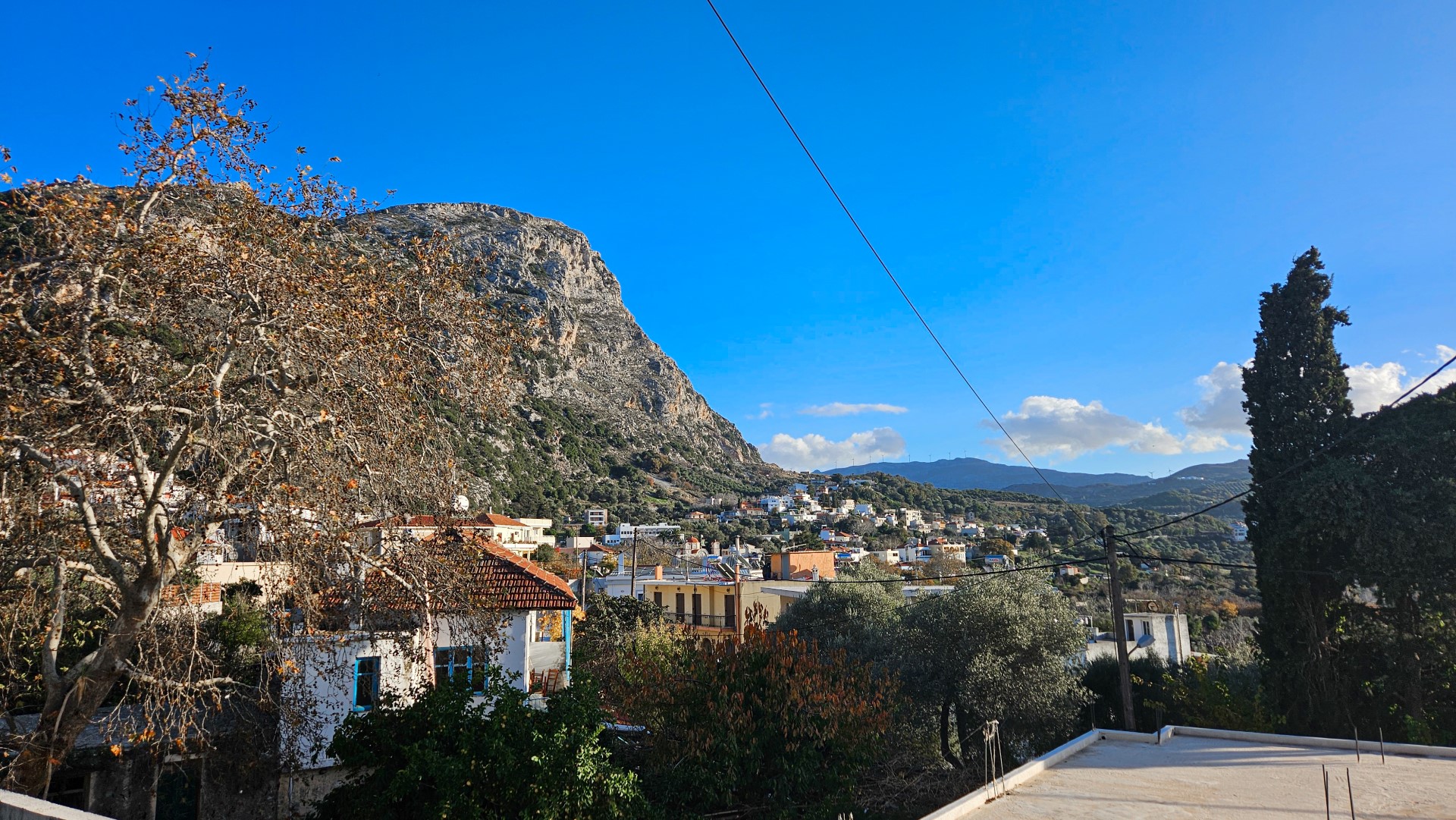
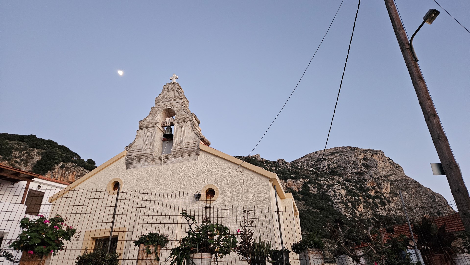
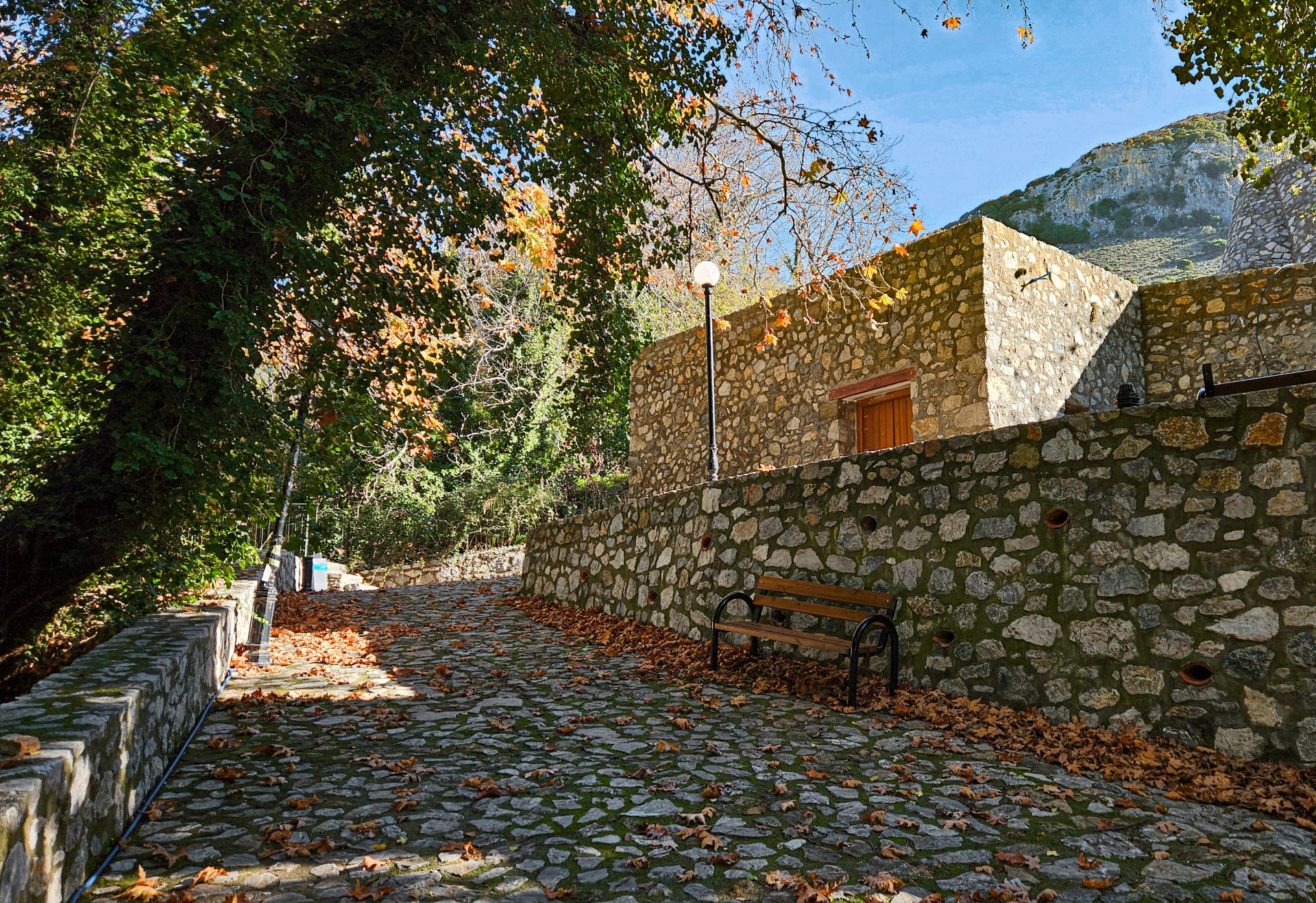
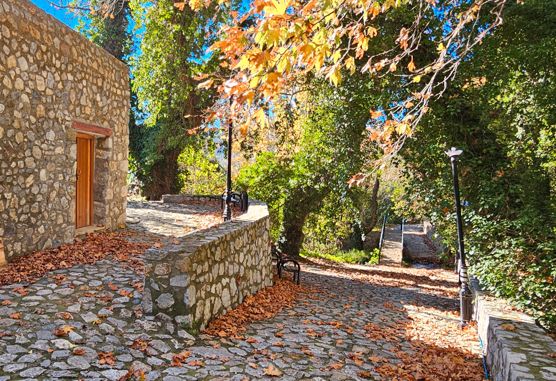


The watermill of Agia Fotia is located below the church of Saint Photini (Agia Fotia), at the exit of the Agia Fotia Gorge at the foot of Mount Vorizis and very close to Spili.

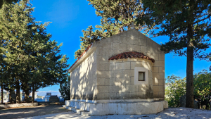
The church of Sotiras Christos (Christ Savior) is located in the cemetery, on the main road of Spili, in the province Agios Vassilios. The church is dedicated to the Transfiguration of the Savior and celebrates on August 6.

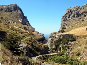
The gorge of Kotsyfos starts at Kannevos village and ends at Plakias. The starting point is very narrow with a width of about 10m, which gradually increases and reaches 600m. The total length is 1800m, and the almost vertical sides that reach a height of 600m. Inside the gorge, there is a small temple built inside a rocky cavity dedicated to Saint Nicholas.
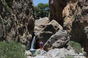
Platys (i.e. wide) river is one of the rivers of foremost importance in Crete, flowing all year round. It gathers almost all water quantities of Amari Valley and leads them to the beach of Agia Galini. At a secret location between the settlements Agia Paraskevi, Vyzari, and Petrohori, the wide river gets narrow and forms two impressive ravines. The first is the small Mesa Faragi (inner gorge), reminding of the gorge of Kourtaliotis.
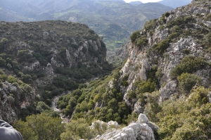
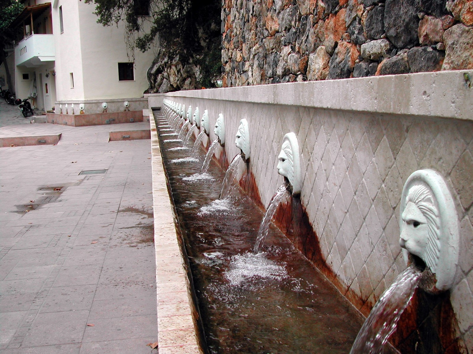
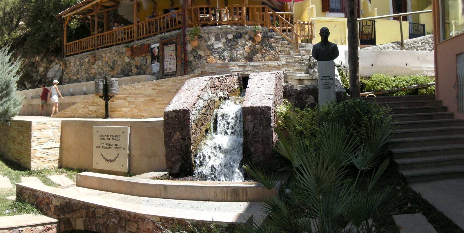
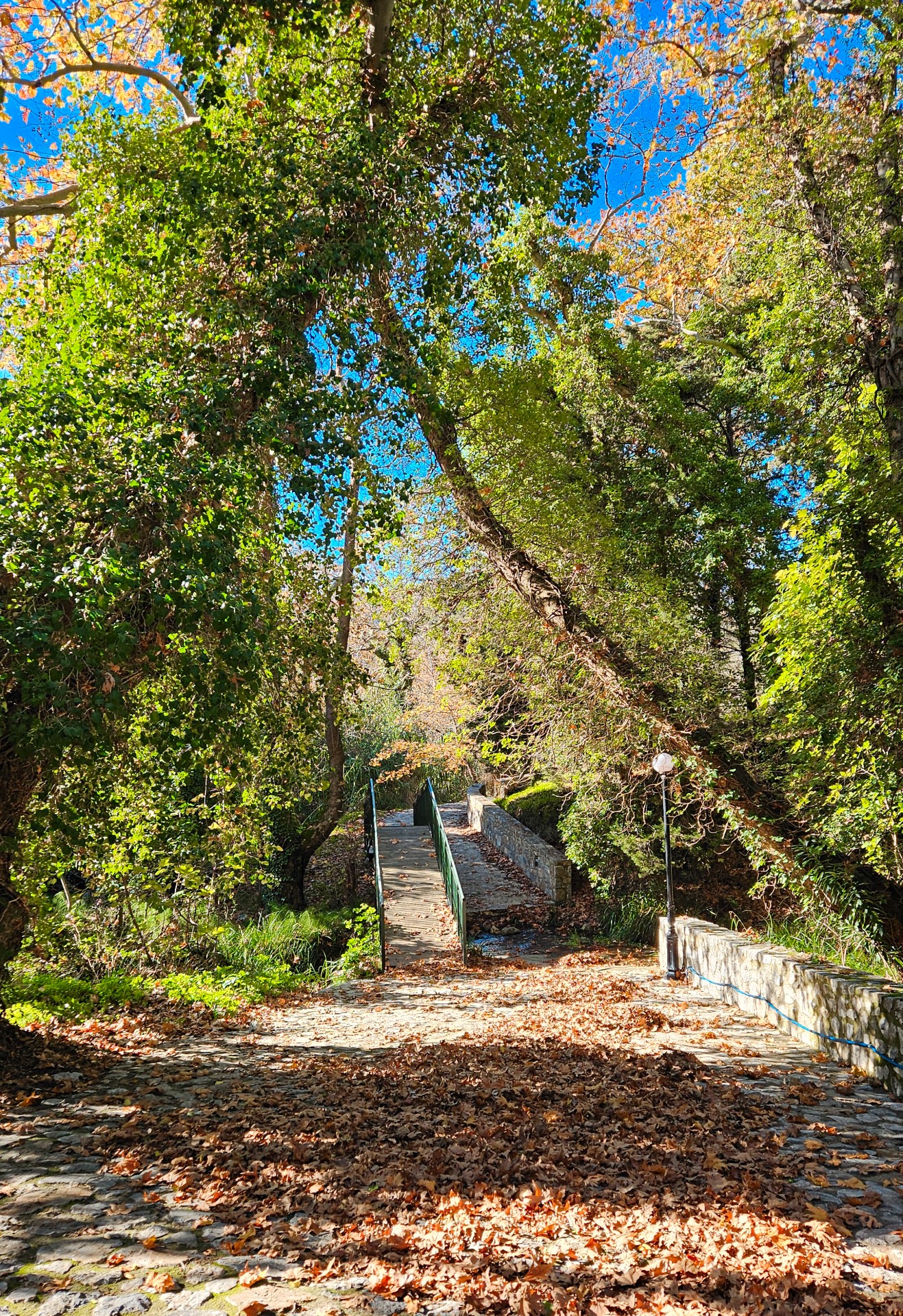
1.5km east of Spili, next to the main road connecting Spili to Agia Galini, you will meet the chapel of Agia Fotini, also known as Agia Fotia. Next to the road, you will find the springs of Agia Fotia, an old mill and a quite high waterfall (in winter).

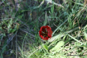
The red tulip of Crete (Tulipa doerfleri) is one of the 5 endemic tulip species of Crete. It grows exclusively at the small plateau of Gious Cambos, by Amari Valley, at an altitude ranging from 700-800m. In spring (April) this small plateau is covered by a red carpet made of tulips.

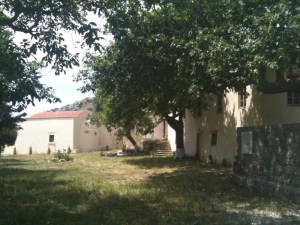
The Monastery of the Agio Pnevma (Holy Spirit) was probably founded in the 12th century and certainly at the end of Venetian rule it was already autonomous and in welfare. On June 15, 1821, the local Turks massacred the monks and burned the monastery.

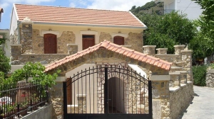
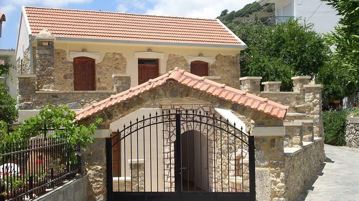
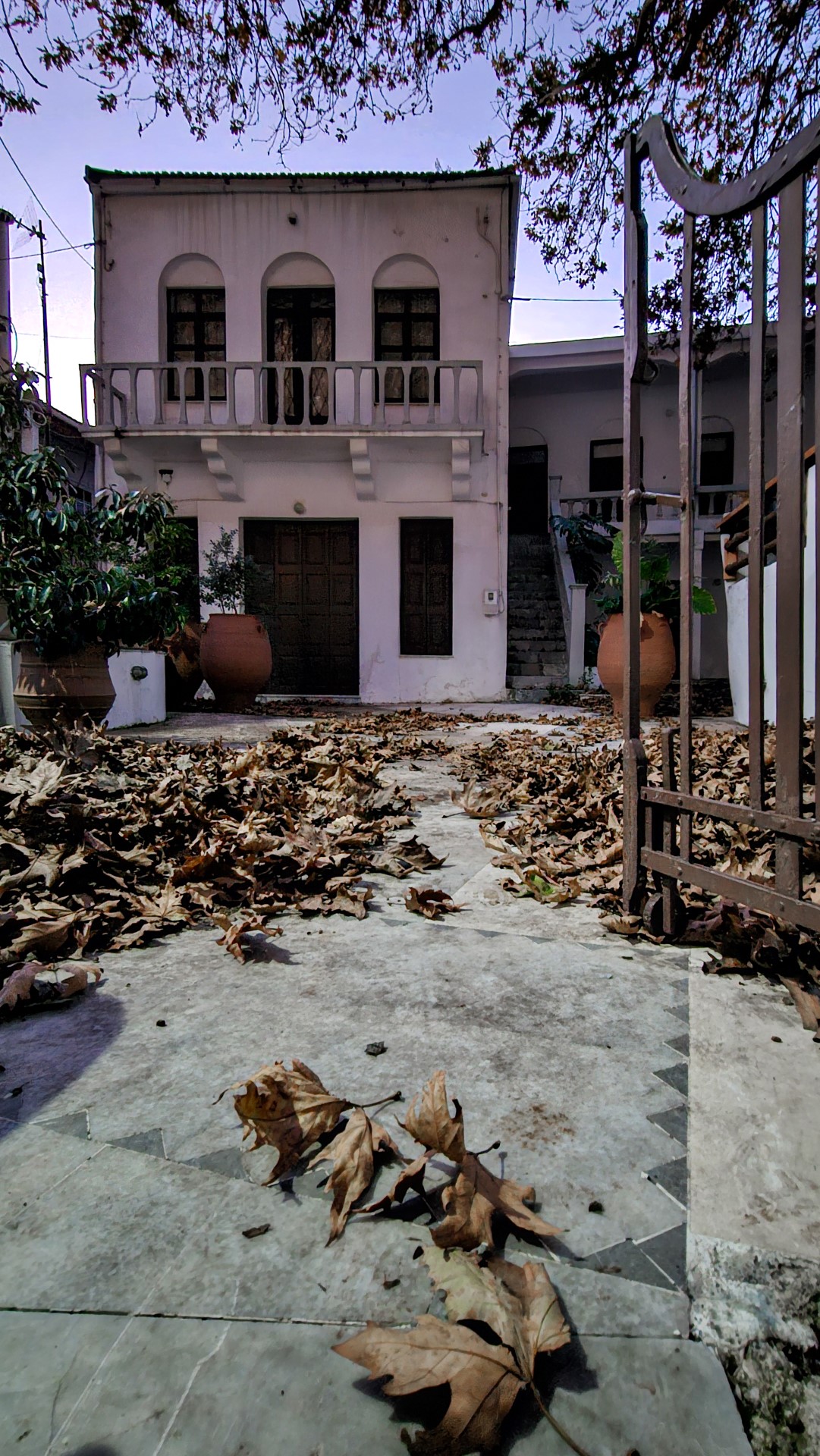
The Folk Museum of Spili is housed since 2011 in a traditional two-storey house at Spili and was founded by the local Women's Association.

This trail starts from Agouseliana, comes north of the villages Katsogrida and Atsipades, passes through Koxare, meets the upper entrance of Kourtaliotiko Gorge, crosses Mixorouma and Dariviana, and stops at Spili. It is very easy, as it is mostly on paved and unpaved roads.
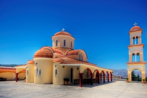
On the hill of the Episcopacy (seat of Diocese) of Lambi, Sivritos and Sfakia, in early 1990s, started operating the monastery of Saints Raphael. The main temple is dedicated to the martyrs Saint Raphael, Nikolaos and Irini. The monastery also hosts the chapels of Saint Irinaeus, Saint John the Baptist, Saint John the Hermit and Archangel Michael.
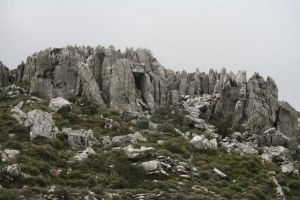
The route starts from Spili, reaches the spring of Agia Fotia, and then ascends to Kissos. It comes above the Monastery of the Holy Spirit and climbs to the summit of Mount Kedros (1776 m.). From there we go back and meet the trail that leads to the Church of the Prophet Elijah and descends to Gerakari. This route is a part of the European E4 trail.

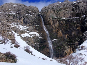
Above Krya Vryssi we meet one of the highest waterfalls in Crete, the waterfall of the wild gorge Gre Daphne, known as Rechtas. It has water until spring and falls from a height of 100m! A little further down, in the ravine of Gre Daphne, there is the rock climbing field of Krya Vryssi.
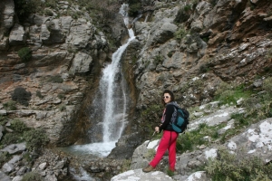
At the south slopes of Kedros Mount, at position Rechtres, and over the village Platanes (Rethymno Prefecture), there is the wild and dangerous gorge of Platanes.
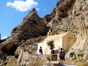
The Gorge of Kourtaliotis is located 22km south of Rethymno and has a length of 3km. It is one of the most spectacular natural attractions of Rethymnon. It starts from the village of Koxare and flows between the mountains Kouroupis (984 m) and Xiro Oros (Dry Mountain - 904m). The huge cliffs of the canyon reach a height of 600 meters and are full of openings and caves, where significant fauna species live.
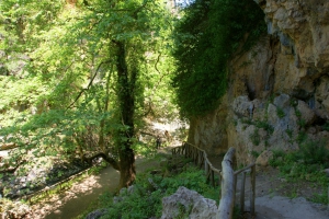
The gorge of Patsos or Agios Antonios is located 8 km southwest of the Monastery of Arkadi, in the heart of the lush province of Amari. The water of the gorge is poured into the dam of Potamoi. Trekking in the gorge is very easy since it is managed by the Forest Service.

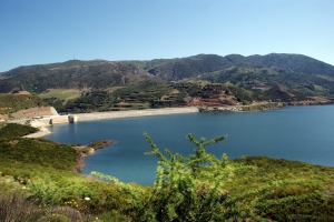
The quite new lake has a capacity of 23 million cubic meters and is expected to become one of the most important wetlands in the southeast Mediterranean. Already, many species of birds and animals have appeared in the area. Visitors of the wider area visit the dam and admire the beautiful scenery.

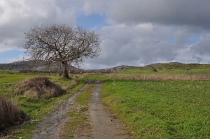
Amari valley is formed between the Mountains Kedros and Psiloritis, at an altitude of 400-500m and is 25km long. It is the natural passage from the north to south Rethymno and Messara Plain. For its central location, it was the theater of several historical events, especially during the Ottoman rule.
Also read:
- Home
 Beaches
 Nature
 Past
Past Destinations
 Highlights
 West Crete
- Central Crete
- East Crete
- Towns
- Chania Prefecture
- Chania
- Paleochora
- Kissamos
- Georgioupolis
- Chora Sfakion
- Loutro
- Rethymnon Prefecture
- Rethymnon
- Agia Galini
- Plakias
- Spili
- Anogia
- Heraklion Prefecture
- Heraklion
- Hersonissos
- Malia
- Matala
- Agia Pelagia`
- Archanes
- Kokkinos Pirgos
- Lassithi Prefecture
- Agios Nikolaos
- Elounda
- Sitia
- Ierapetra
- Makrigialos
- Palekastro
- Zakros
- Lassithi Plateau
- Get Prepared


