")


 Trail Paleohora - Lissos - Sougia
This amazing hike is about 16km long and takes about 5-6 hours. The trail is clear and well-marked with the typical E4 trail back-yellow signs. It crosses the archaeological site of Lissos, where you can find water from the local spring. It isn't too difficult but plenty of water, sun protection, and steady shoes are recommended.
Route in detail
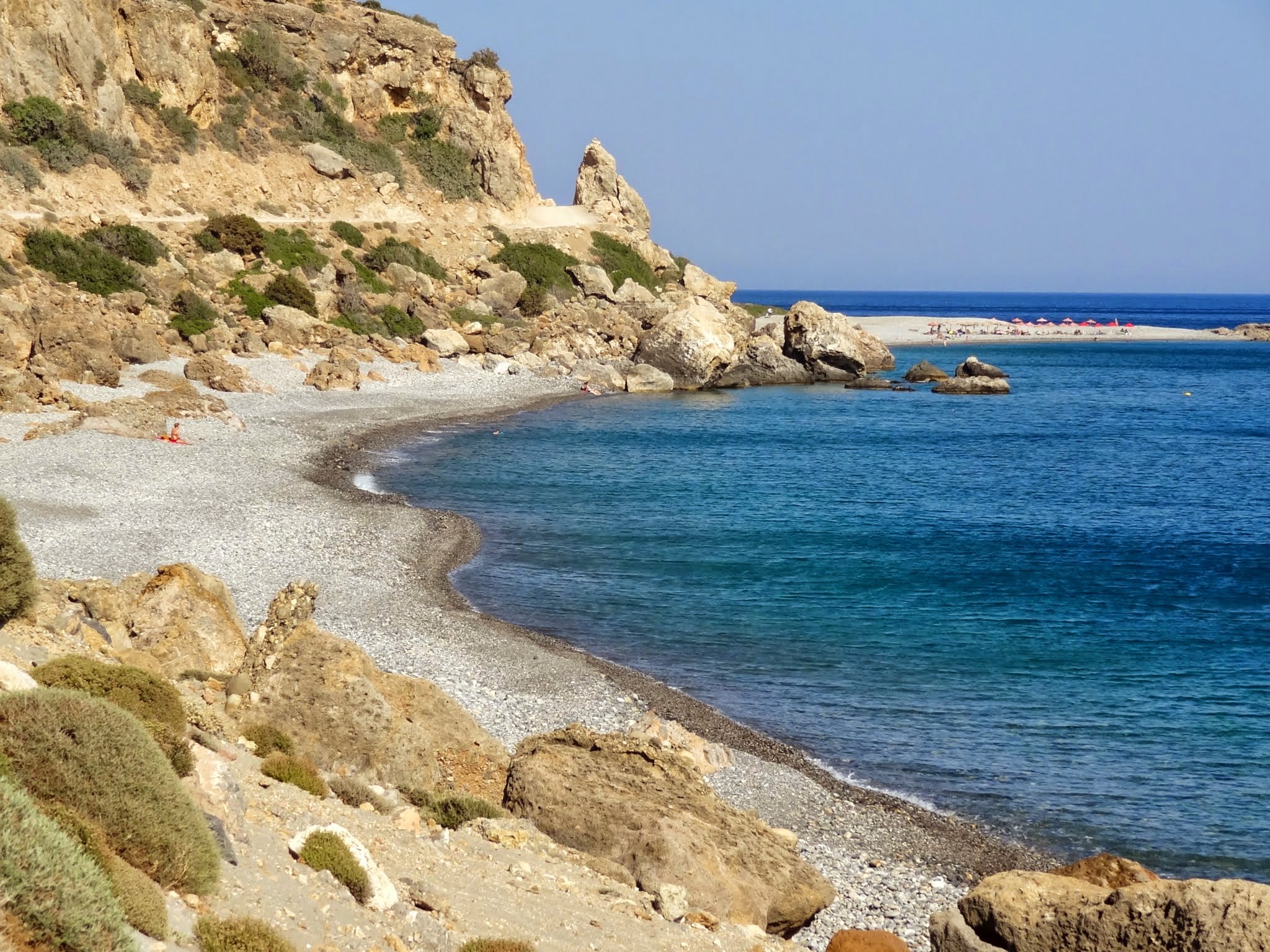
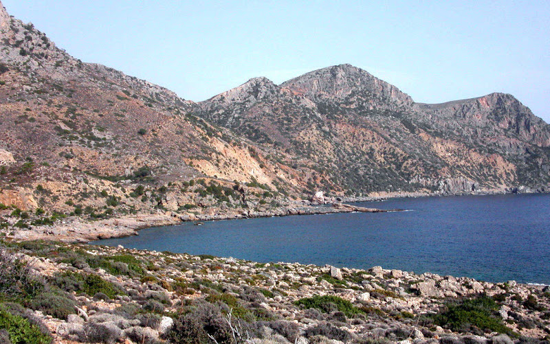
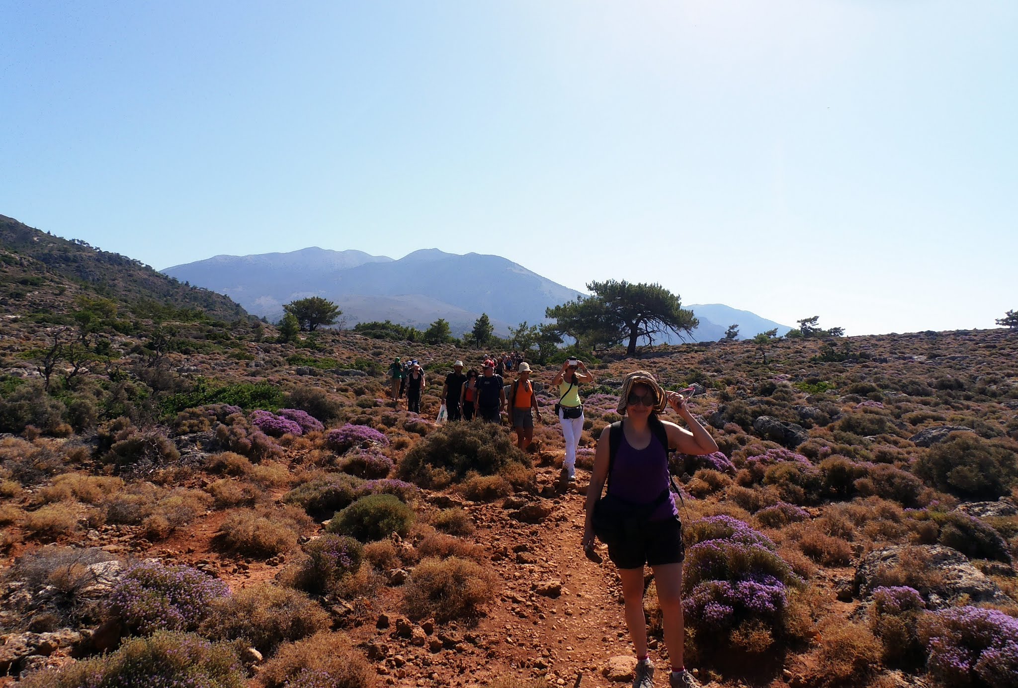
From Paleochora port, look at the far end of the eastern shores, where you will discern Cape Flomes, reminding of a crocodile. This is the place you will try to reach and Lissos is just behind this massif.
From the port, take the road that goes along the south coast, eastwards, all along the waterfront. Turn left on the side of the local cemetery and keep on walking along the waterfront. At about 1km distance from where the ferry departs, you get in the right direction to the camping site located 500m further down. At a distance of 500m further down, follow the asphalt road, that descents, to your right (marked with E4 Trail poles). Keep on walking on the asphalt road for about 500m turn right, on a non-asphalt road along the beach.
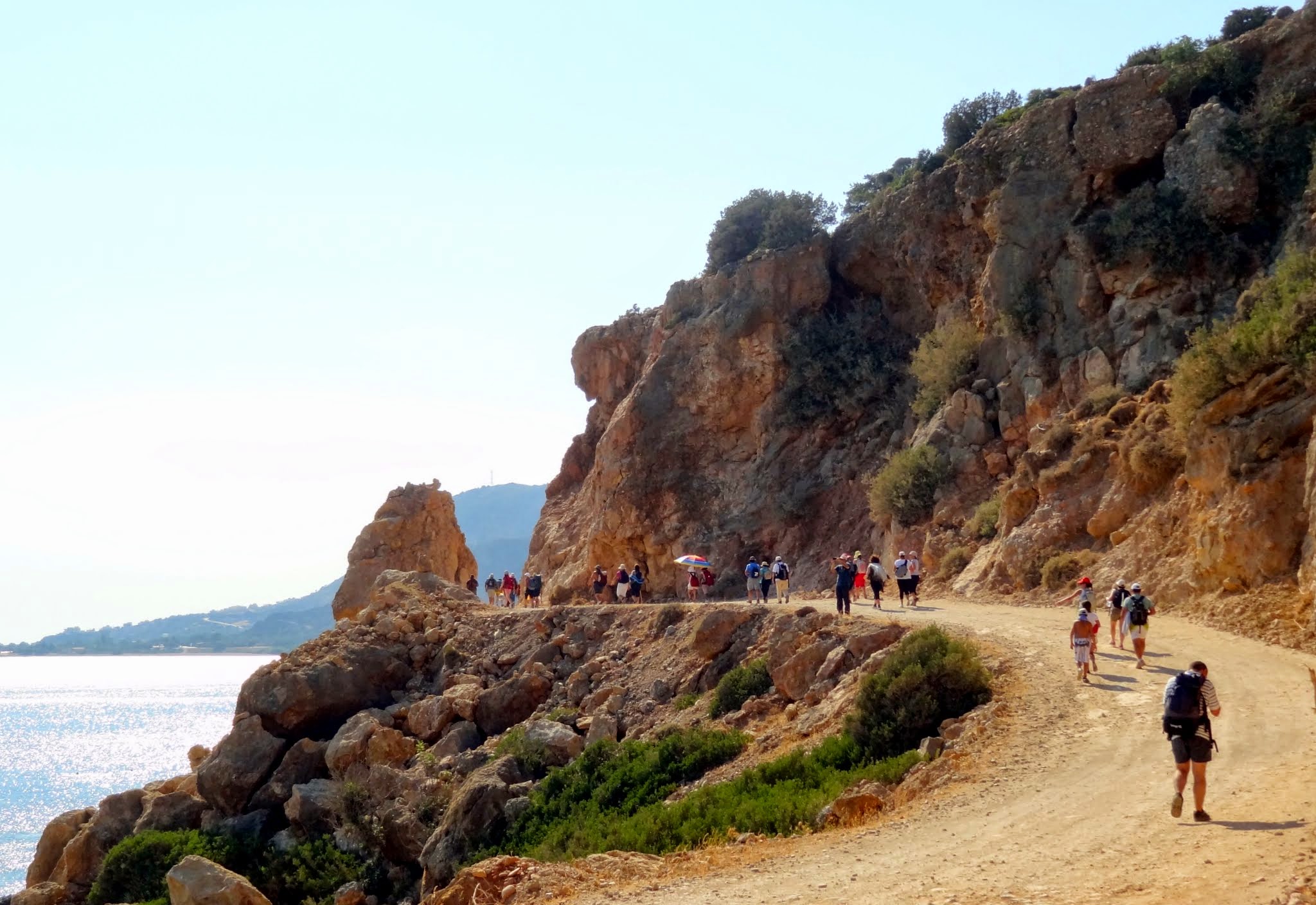
Arrive at the Anydri beach and follow the way-marked footpath with E4 trail poles. After ten min. walk past the Anydri beach, you see the E4 Trail poles on the rocks of Plaka cape and the tiny beach of Astropelekita, the footpath is just opposite (an ascending footpath). The ascending path is on your right, you will see the sea. At the peak of the path at Flomes Cape, have a last look at the view over Paleochora town. Follow the wide track road to the east and cross it when you meet the other track coming from Prodromi.
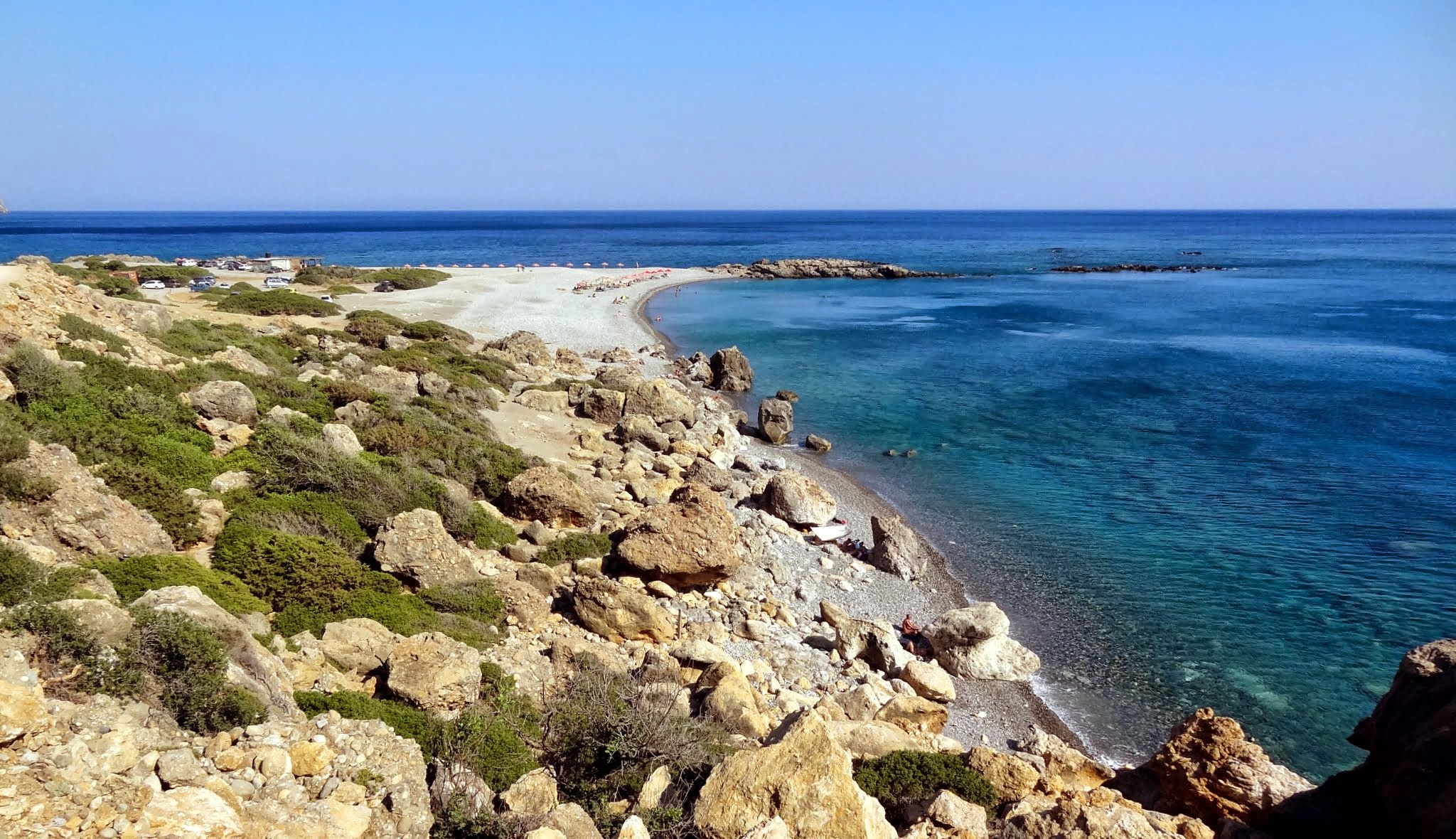
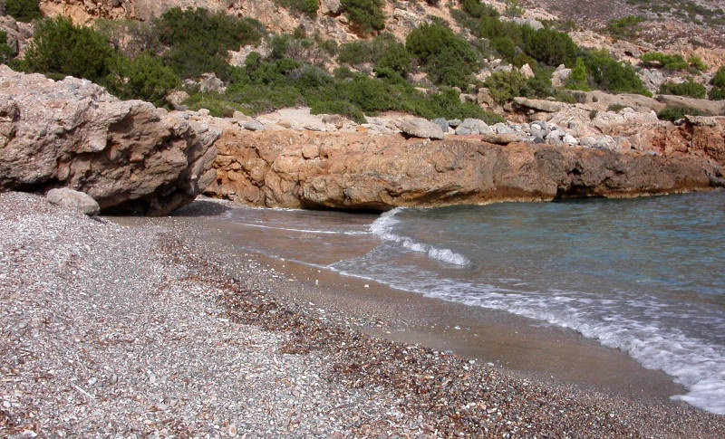
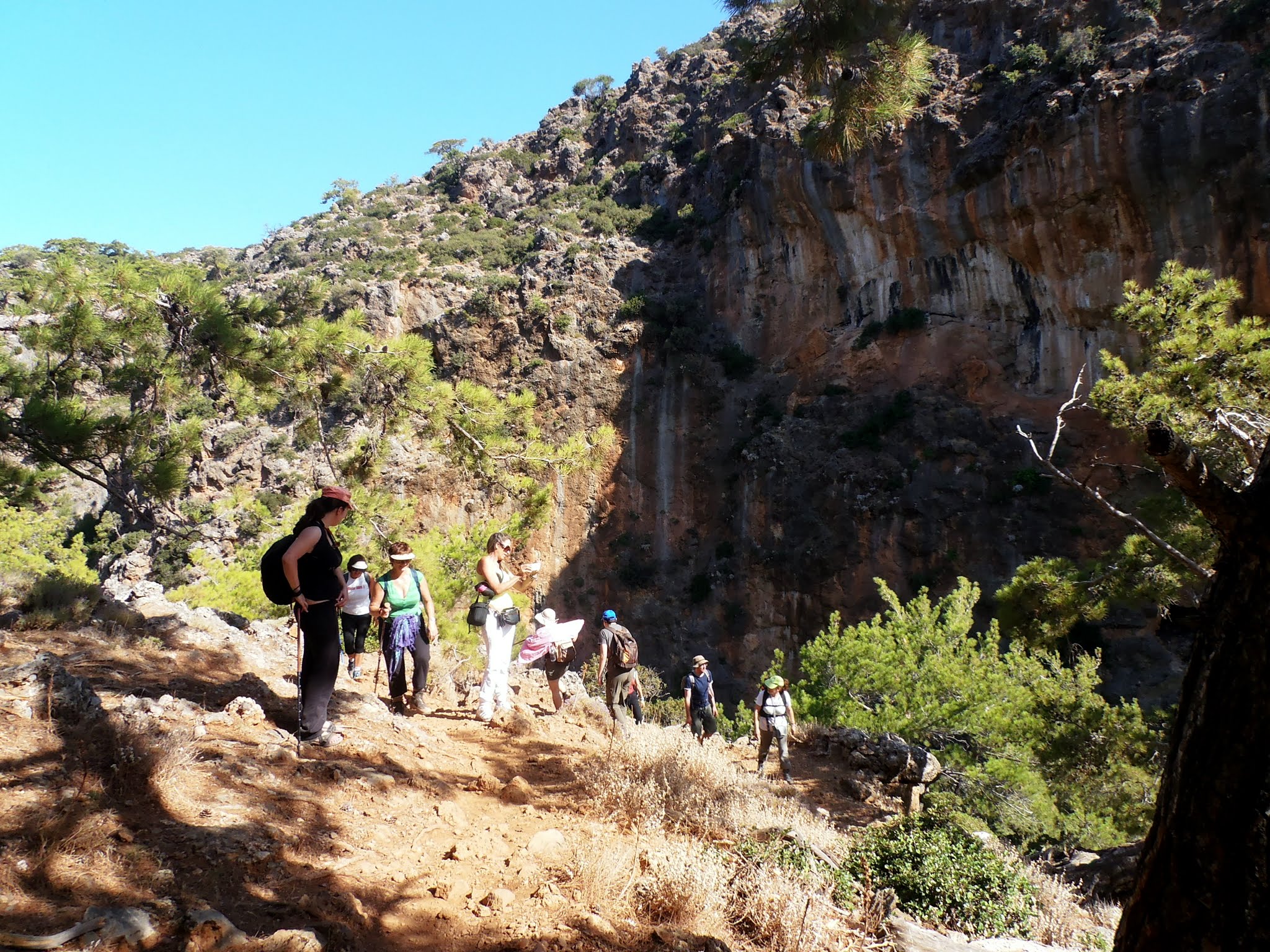
After a ten-minute walk, on your right, you will see the beach of the antique city of Lissos. Keep on walking on this path, until you reach the antique city of Lissos. The path descends to the sea level. 50 m before arriving at the beach, you can have lunch under the trees as well as a nice swim, since these are the hottest hours of the day.
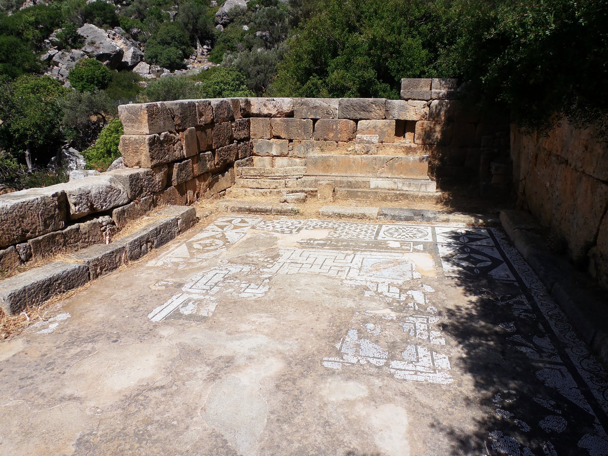
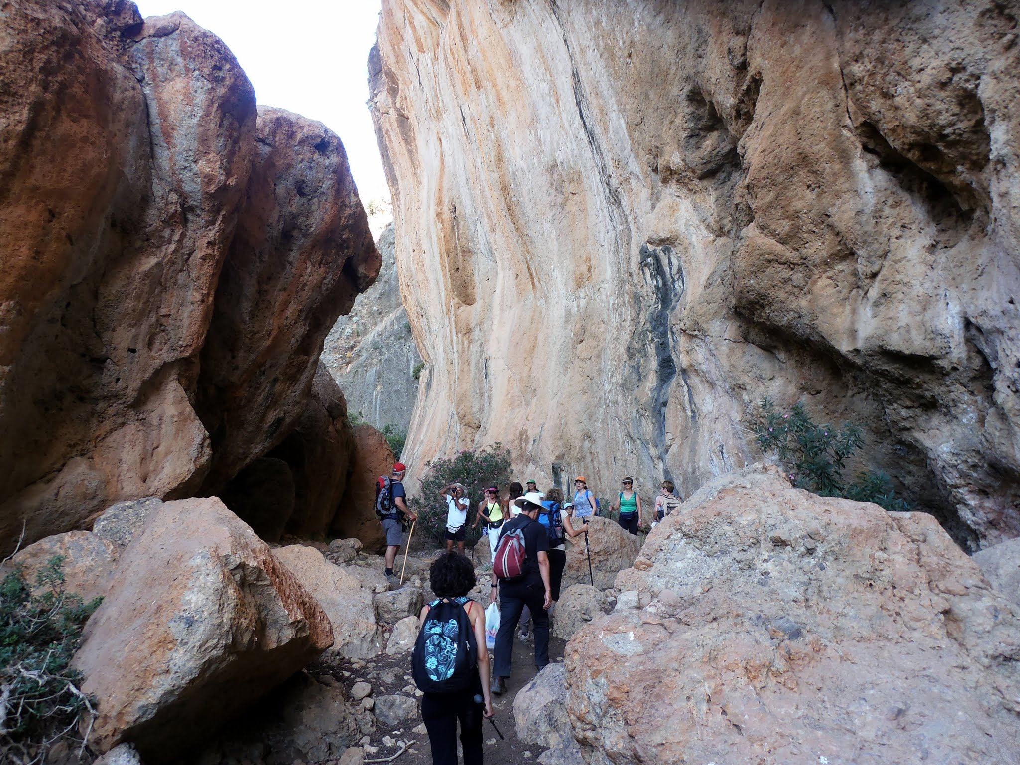
Starting from the beach, follow the path to your right. After approximately 50m, bypass a small stone house, on the right to the path. Keep on straight, towards the end of the valley and you will see the old temple of Asclepius, after the trees. Follow the path until you reach the temple. Admire the mosaic on the floor. The path bypasses the temple on the right and follows a turning. On your left, you may see ruins bordered by a fence. At the very end of the fence, you see the waymark to Sougia on the left. It is an ascending zigzag path, not very well-tramped.
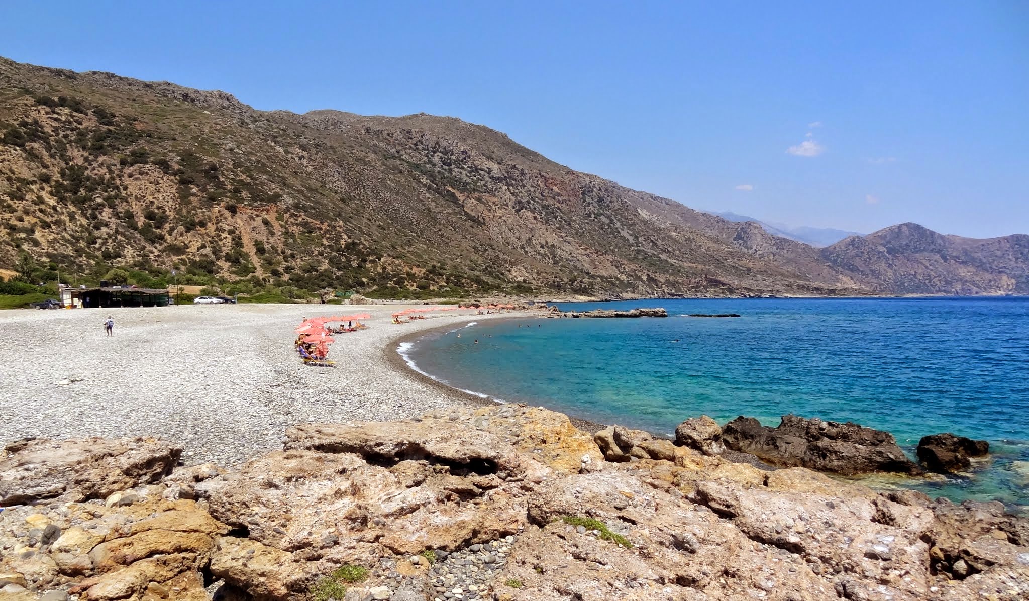
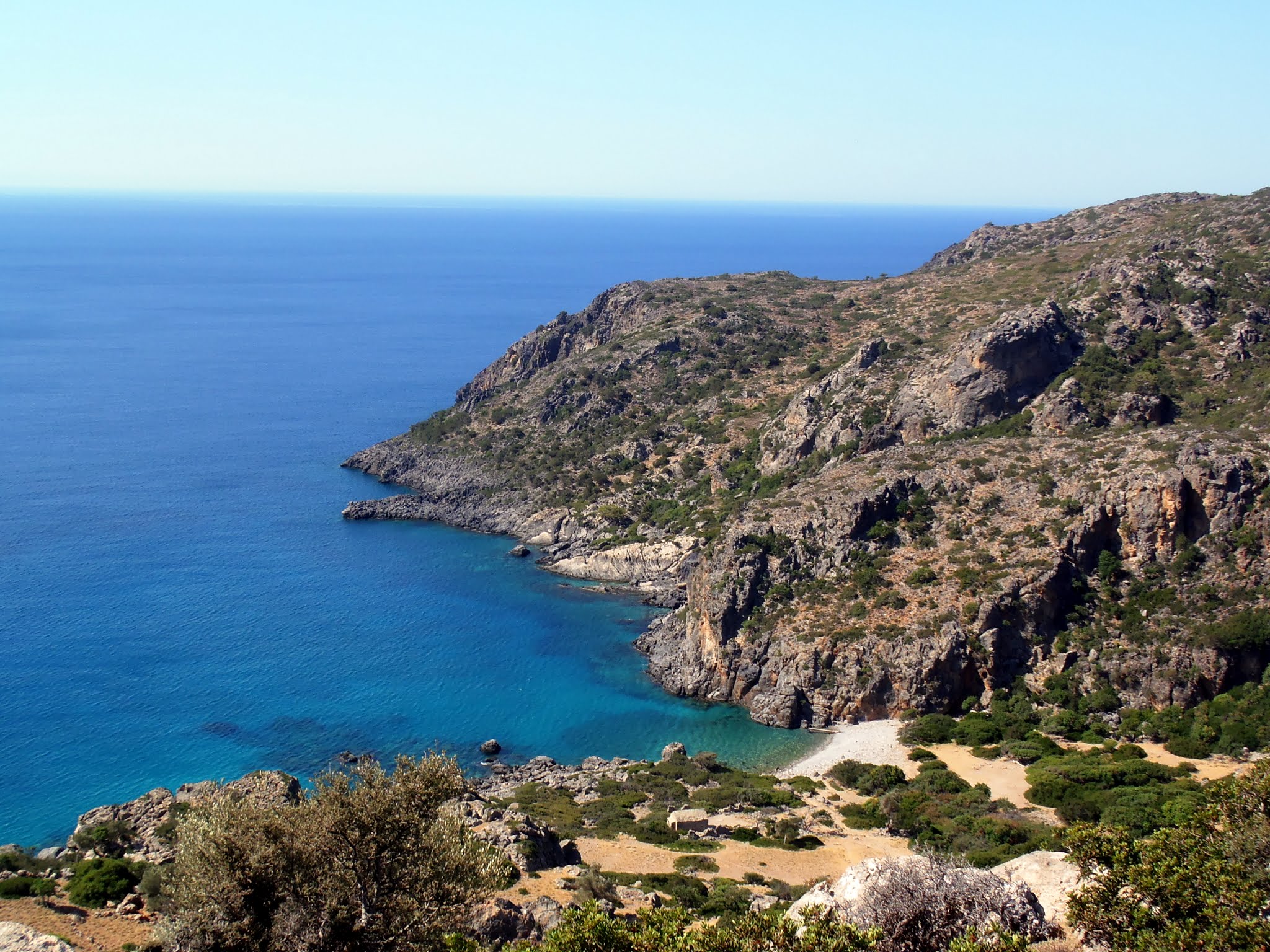
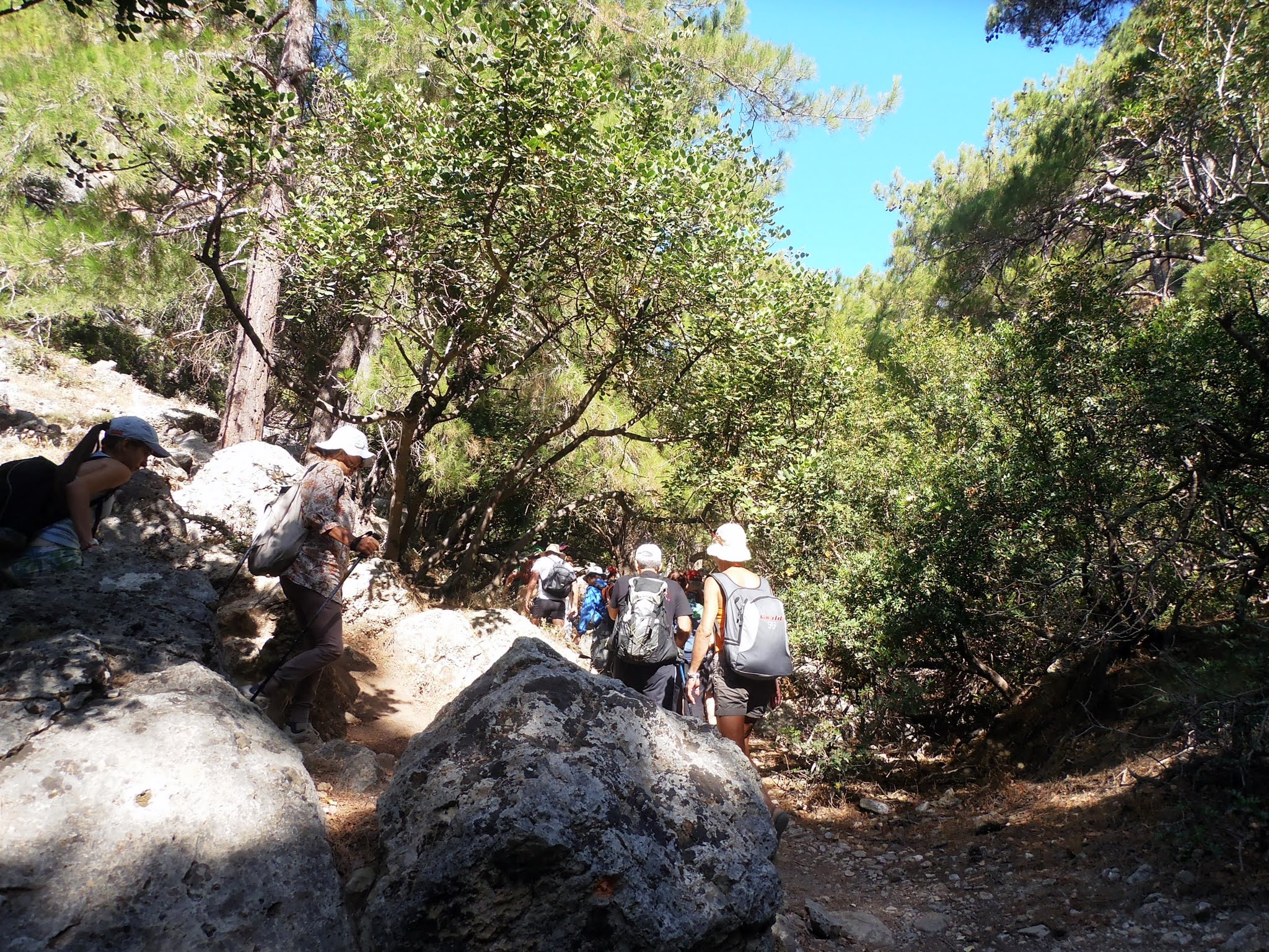
While ascending, the path bypasses in front of a small cavity. At the peak of the path, you will discover a big plain (plateau). The path cuts across this plain. At the very end of the plain, the path descends through pine trees. When you reach the ravine (gorge) take your right. Follow the gorge until you reach the sea (30mn). At the gorge exit take your left and follow the coastal road up to Sougia (10mn).
*The photos below depict the same trail but the hikers walk in the opposite direction, i.e. from Sougia to Paliochora.
.jpg)
.jpg)

What is near me?
Additional Info
- Length (km): 16
- Type: E4 trail
- Location: Chania Prefecture
- Difficulty (0-10): 1
- Hiking Hours: 5:00
- Accessibility: Walking


