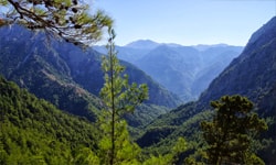
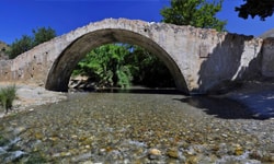
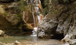
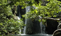
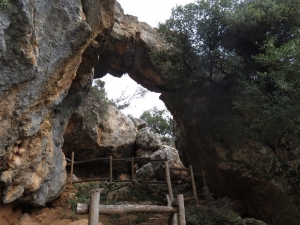
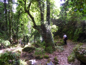
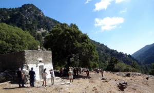
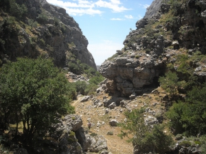
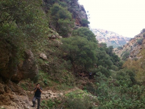
Platania Gorge is located in the Amari valley, 38km southeast of Rethymno, on the western outskirts of Psiloritis. It is a unique trail, with impressive cliffs, vertical limestone rocks, rock roofs and caves. The trail is recommended for experienced mountaineers, although the first part of the trek is quite easy and well pathed, even for children who are physically fit.
Margarites is a village, well known for its marvelous architecture and the traditional pottery. However, in the wider area of the villages of Margarites, Orthe and Eleftherna appear a series of small, parallel gorges. Small streams such as Margaritianos flow towards the north and are tributaries of the Geropotamos River. The gorges are developed in white-yellow marly limestone of the Upper Miocene period (8-10 million years ago) as a result of the uplift of the whole area and the erosion by water.
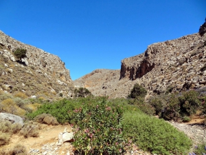
The Gorge of Chochlakies or Karoumes is located in one of the most isolated areas of the island, near Kato Zakros. Easy hiking in the snakelike canyon with the sparse vegetation and the bare rocks, ends in the amazing beach of Karoumes, where being totally alone is the rule.
Kollita Gorges, i.e. Twin Ravines are located nearby the picturesque village Argyroupolis, about 22km southwest of Rethymnon city. They are named so, as they consist of two parallel canyons that end near Kato Poros settlement and is part of the E4 trail. The first canyon on the east is called Moudriano Gorge, while the west gorge is Kato Poros Gorge of Vilandredo Gorge, mostly known as the main Kollita Gorge.
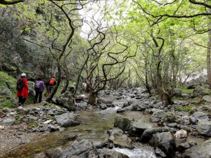
The lush canyon of Boriana (mainly known as Karanou Gorge) starts from the village Boriana and joins the River Mavropiliotis after 1800 meters in a nicely landscaped trail. Along the trail we meet a ruined watermill, caves, entrances of the old iron ore quarries (known locally as quarries of Averof), a charcoal furnace and galleries.
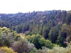
The proposed trekking route in the canyon starts from Niato Plateau (near Askifou Plateau) and runs along the European trail E4. You initially meet the abandoned village of Kali Lakki. From here starts the canyon, which is one of the greenest gorges in Crete, with incredibly interesting flora. Oaks, cypresses, and pines are the main trees in Sfakiano Gorge.
The canyon of Asfendou is one of the many gorges in Sfakia province, starting from deserted hamlet of Asfendou that currently houses some local sheep herders. Along the canyon runs a passable but steep trail, parallel to the streambed. In many places the Libyan sea is visible.


