







At the site of the ancient seaside town of Lissos, west of Sougia, there are the remains of two 6th-century triple-aisle wooden-roof basilicas with a slightly protruding transverse aisle, which were discovered in 1955 by archaeologist N. Padouvas.
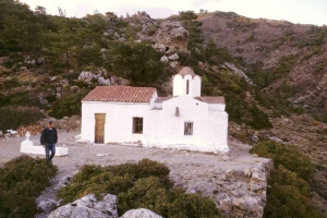
To the north of the Sougia settlement, the church of Saint Irene (Agia Irini) is preserved in the architectural type of the single-nave church with a dome, to which an arched-roof narthex was added in a second stage, which survives as a late reconstruction of its dome.
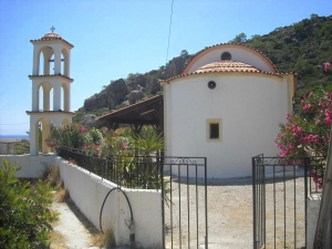
The present-day settlement of Sougia is built on the site of ancient Syia, which flourished mainly in the late Roman times. Underneath the surviving cemeterial temple of Saint Panteleimon there are the remains of a three-aisled basilica with a 20.80m x 12.40m narthex, which has been excavated by A. Orlandos.

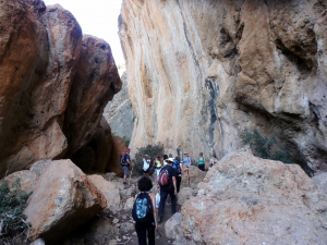
Through the gorge of Lissos passes the trail that connects Sougia to Ancient Lissos. It's a long canyon with imposing towering walls, but the path that leads to ancient Lissos covers only a small part of the route, taking only about 1 hour.

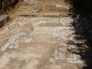
Ancient Lissos was the seaport of Elyros and was built in a small valley between Sougia and Paleochora. It flourished from the Hellenistic period up to the 9th century, when it was destroyed by the Saracens. It was famous for the Asclepion, where patients from all over the island arrived to be healed from the thermal baths.
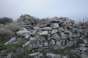
Elyros was the most important town in southwestern Crete during the Doric and Roman Periods. Ruins are conserved 500m far from the village Rodovani atop the panoramic hill Kefala. The town had two harbors: Syia(current Sougia) and Lissos. The exact location of the town was verified by an inscription with the phrase in Greek "Glory to the people of Elyros".
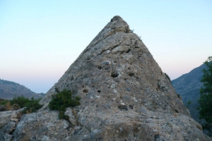
Near the settlement Moni, Selino Province, we meet a very mysterious monument, unique in Crete. It is a small conical pyramid with a circumference of 16m and a height of 4.6m, which is carved. The interior has a carved room with dimensions 2.20m x 2.10m and height 1.40m.

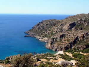
This amazing hike is about 16km long and takes about 5-6 hours. The trail is clear and well-marked with the typical E4 back-yellow signs. It crosses the archaeological site of Lissos, where you can find water from the local spring. It isn't too difficult but plenty of water, sun protection, and steady shoes are recommended.
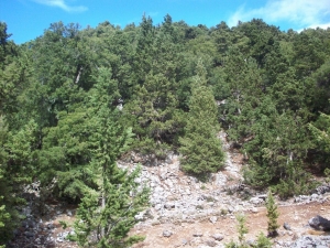
Starting from Sougia, apart from the gorge of Agia Irini, we can choose the alternative route that comes through the beautiful settlement Koustogerako. Then the trail continues and crosses the pine wood by Olisma and conludes at Seliniotikos Gyros, i.e. the southwest passage to Omalos Plateau.
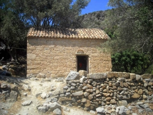
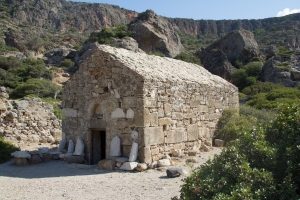
Saint Kirikos or Kirkos is located at the archaeological site of Lissos, on the site of a former Early Christian Basilica and gives its name to the entire valley of Lissos. The vaulted church has Byzantine frescoes, unfortunately damaged.

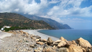
Sougia is a small village located 75km west of Chania, at the exit of the beautiful Gorge of Agia Irini. A favorite destination for hippies in the 70s', today it is a perfect choice for peaceful holidays in a beautiful landscape with all the basic amenities provided.
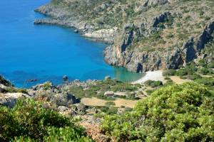
The beach of Lissos is located at position Ai-Kyrkos (Agios Kyrikos) about 71km south of Chania and 3 km west of Sougia. It is the site of ancient Lissos, which was actually the seaport of another town, called Elyros. The ruins of Elyros are located close to today's village Rodovani.
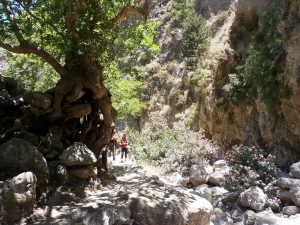
The gorge of Agia Irini is on the west side of the White Mountains, with many vertical passes. It gets its name from the homonym village located near the entrance, 46 km from Chania. Its length is 7.5 km and its crossing takes three hours. The gorge ends up in the seaside village of Sougia.
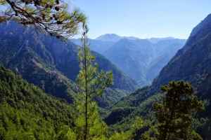
The Samaria Gorge is the longest trekking gorge in Europe and also the most famous of all. Thousands of tourists flock here daily in the summer season to walk from the top to the bottom. For many visitors, it is the sole purpose of their visit to Crete. The length of the gorge reaches 18km and takes almost 4-7 hours to hike from Omalos to Agia Roumeli, depending on trekking speed.

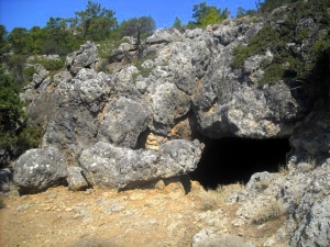
The cave of the Cyclops Polyphemus is located between Sougia and Koustogerako settlements. The cave has no interesting decor, but one marble formation that reminds of a throne. The entrance is divided in two by a large rock, like the rock that was put by Odysseus in the cave of Polyphemus, the one-eyed cannibal Cyclops, before blinding him with a large wooden stick.
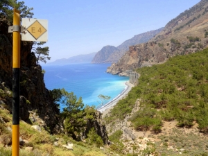
The coastal trail connecting Sougia to Agia Roumeli is one of the most mountainous, tiring, but also beautiful parts of E4 European trail in Crete. The trail starts from ancient Syia (Sougia), runs through Tripiti and Domata beaches, ascends to 550m altitude and descends to Agia Roumeli.
Also read:
- Home
 Beaches
 Nature
 Past
Past Destinations
 Highlights
 West Crete
- Central Crete
- East Crete
- Towns
- Chania Prefecture
- Chania
- Paleochora
- Kissamos
- Georgioupolis
- Chora Sfakion
- Loutro
- Rethymnon Prefecture
- Rethymnon
- Agia Galini
- Plakias
- Spili
- Anogia
- Heraklion Prefecture
- Heraklion
- Hersonissos
- Malia
- Matala
- Agia Pelagia`
- Archanes
- Kokkinos Pirgos
- Lassithi Prefecture
- Agios Nikolaos
- Elounda
- Sitia
- Ierapetra
- Makrigialos
- Palekastro
- Zakros
- Lassithi Plateau
- Get Prepared


