")


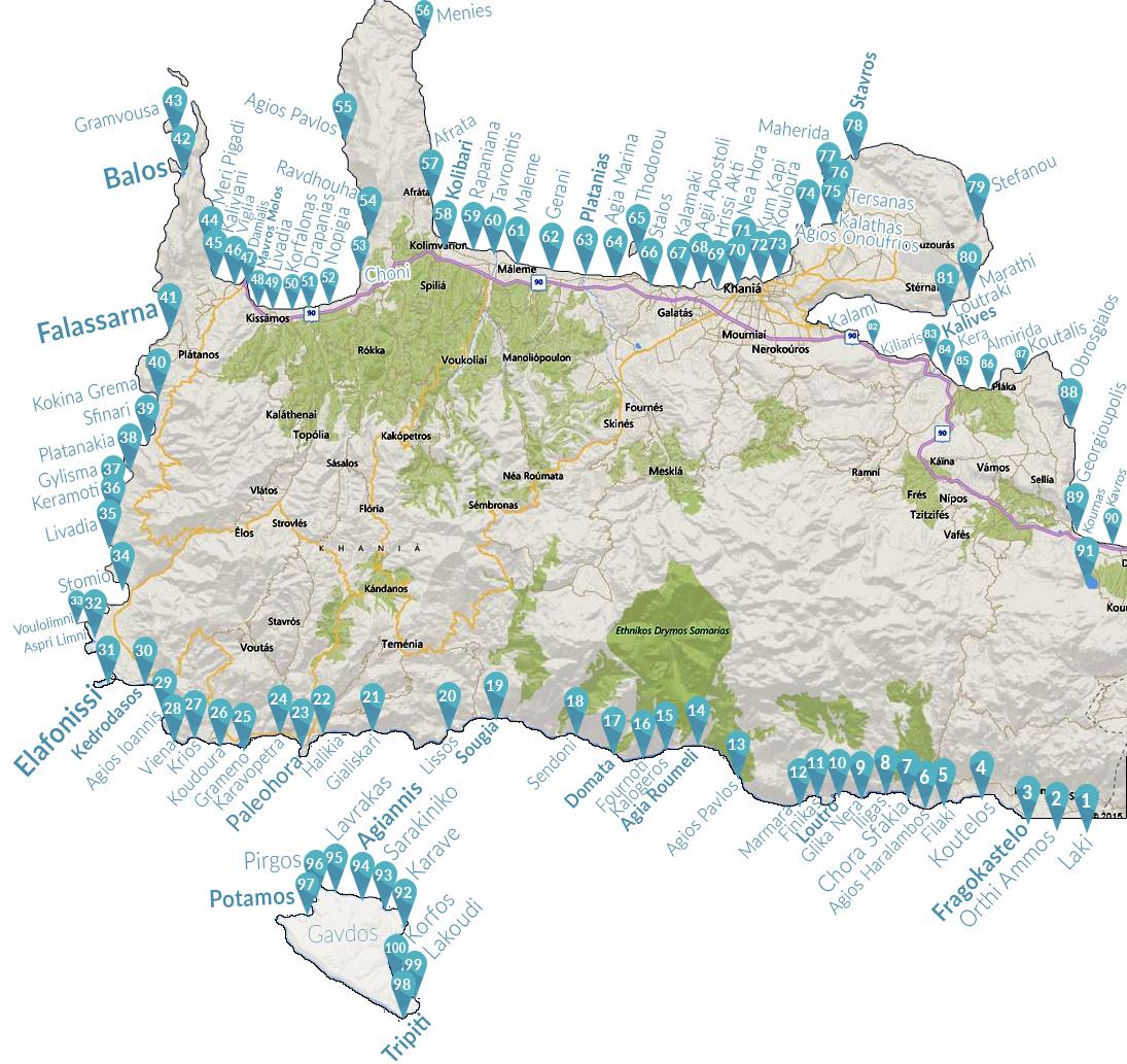

Lake Kournas and its surroundings constitute a very important ecosystem for Greece. Kournas is one of the very few areas of Crete where plenty of fresh water is stored throughout the year. For this reason, it is protected under the Natura 2000 program.
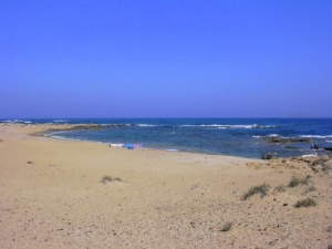
Karave beach has round pebbles and heads south to Korfos bay. It is not organized, but is the only choice for those who want to swim near the port. The water is crystal clear and quite deep. Karave is not very special about swimming, especially if you compare with the rest beaches of Gavdos.
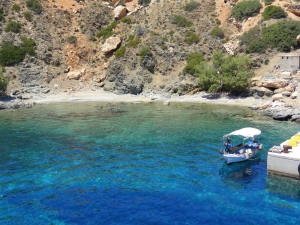
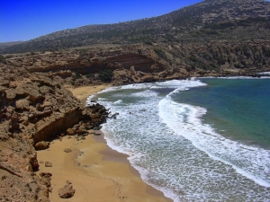
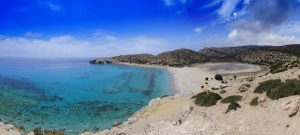
It is named after the Saracen pirates who once used the island as a base of attacks. Sarakiniko, like all beaches in Gavdos is one of the best beaches in Greece that any description can not fit the beauty. It is located on a large cove bay looking north.
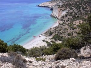
The beauty of the beach and the surrounding region cannot be reflected within the lines of this text. It is not surprising that the Discovery Channel has declared Agiannis as the second best beach in the world after one beach in Hawaii. Indeed, Agiannis is a stunning secluded sandy beach, in a wild African landscape.
The beach Lavrakas is located about 2km west of Agiannis, near the northern edge of Gavdos. Lavrakas can be accessed by walking 20'-30' Agiannis, where you can go by bus. Lavrakas is a fantastic beach with golden sand and turquoise water. It is no organized and is one of the most secluded beaches, since it is accessed only on foot.
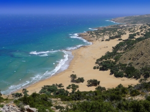
Pirgos has two adjacent emerald sandy beaches, which are absolutely unorganized and isolated. Many campers prefer Pirgos for camping, as it is very far from any tourist infrastructure. The beaches are hidden in the heart of a large bay, surrounded by dunes and junipers and protected by steep cliffs.
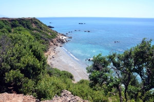
The beach is surrounded by pines and cedars, making it a favorite destination for campers for those who love hiking. If you come to the river it is worth observing the fossils on the rocks or have some spa with the clay!
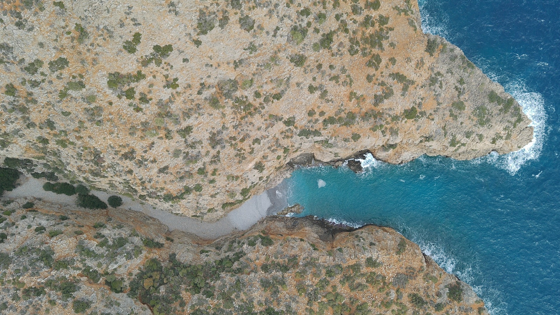
The beach of Tripiti is located 7km south of Karave harbor and is the southernmost point of Gavdos and Europe. The eastern part of the beach is sandy, while the part close to the "tip" of Gavdos has large stones and pebbles.
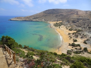
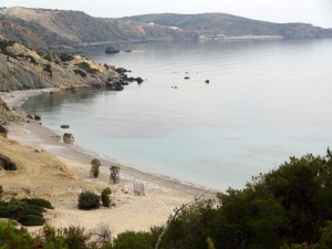
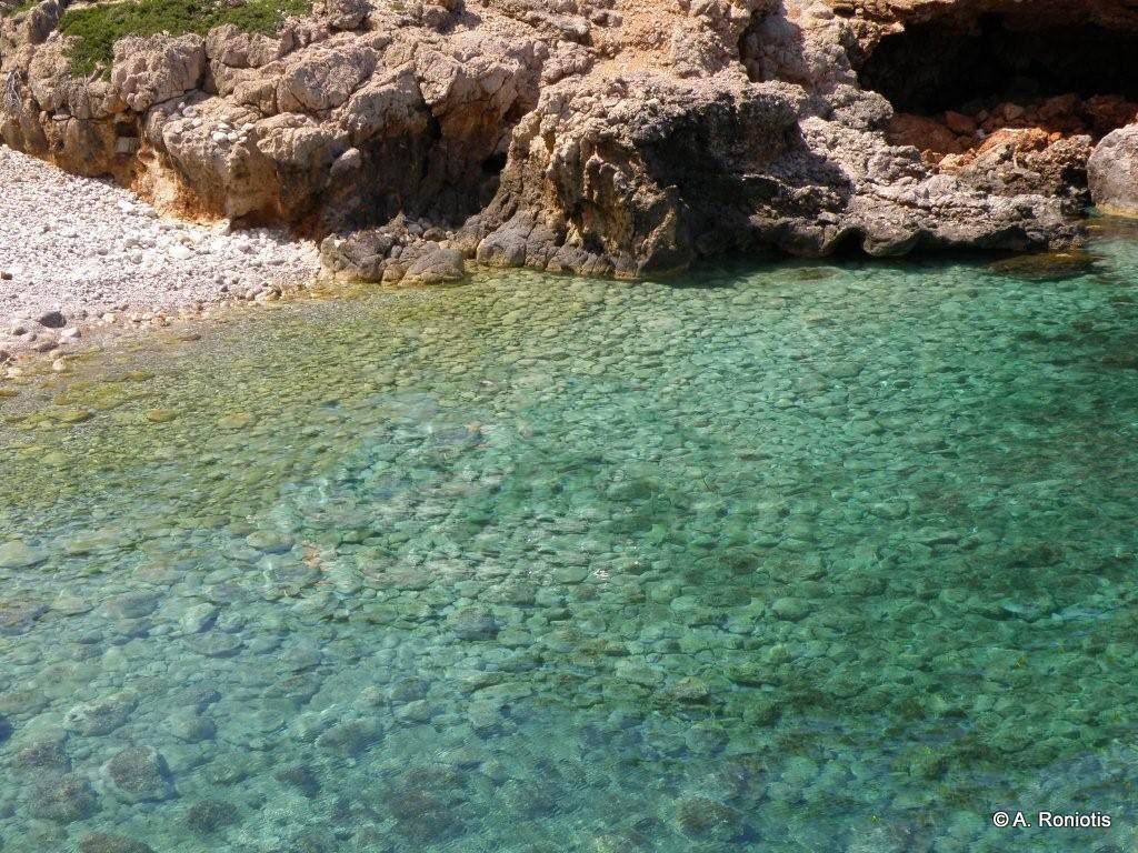
1km south of Korfos settlement, at Gavdos island, there is a very quiet beach with amazing bottom, Lakoudi, accessed only by walking from Korfos or by boat. Lakoudi is one of the nicest beaches on the island and surely deserves a visit.
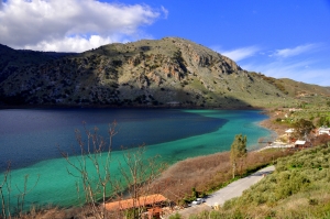
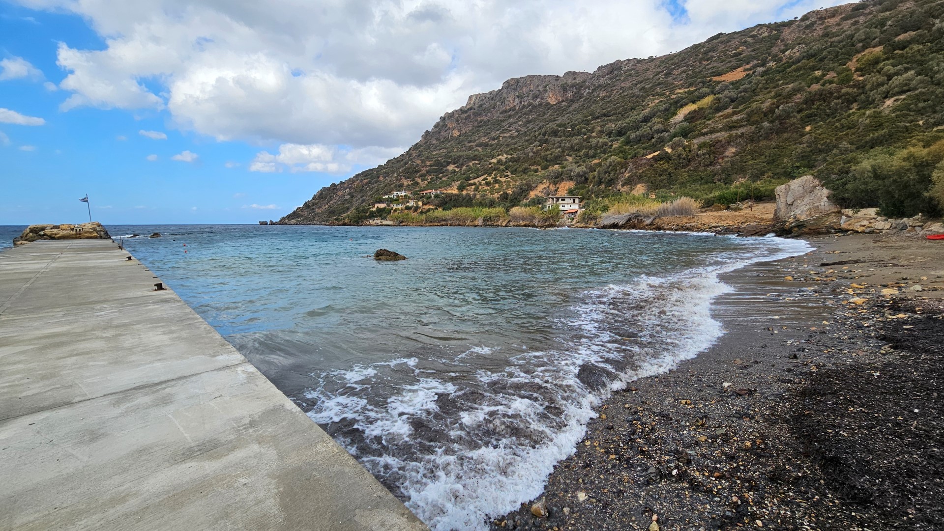
Korfos (i.e. Bosom) is located approximately 2km south of Karave, the only port in Gavdos. There is a footpath along the coast from Karave that leads to the dorp of Korfos (60'). Moreover, there is a bus running to Korfos from Karave.
Lakki is located 81km southeast of Chania and 48km southwest of Rethymno city. It’s located close to Fragokastelo, just 2km eastern, near the village Skaloti. A small stream that runs in the Gorge of Sfaggofarago empties to the west of Lakki. The beach is accessed by driving in the road that starts from Skaloti.
The beach can be mainly accessed by boat, as it is hard to find the beach in the complicated dirt road network of the area. The beach is surrounded by low vegetation.
Sfakos is located between Menies and Kolymbari. It is one of the most isolated beaches in Crete, as access from land is possible, but very difficult. Almost exclusively, most people come to it by boat from nearby Kolymbari or other beaches near Chania.
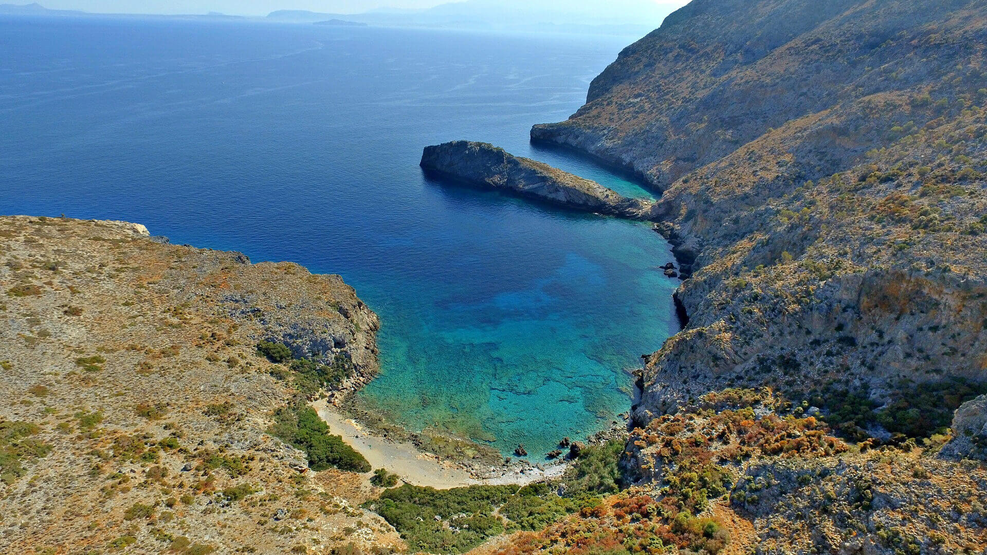
Limnionari or Agios Georgios beach is located in one of the most isolated areas of Crete. It is formed in a narrow bay at the exit of the Agios Georgios gorge, which starts south of the now deserted monastery of Saint George in Menies.
The secluded area of Chironisia lies on the wild eastern side of the Rodopou Peninsula, just before the enchanting bay of Menies.
Neratzia beach is the northernmost on the Ravdoucha coastline and is located approximately 21 km west of Chania, at the base of the Rodopos peninsula.
Kritama Beach is located on the southern coastline of the Chania regional unit, within the boundaries of the Skaloti community in the province of Sfakia.
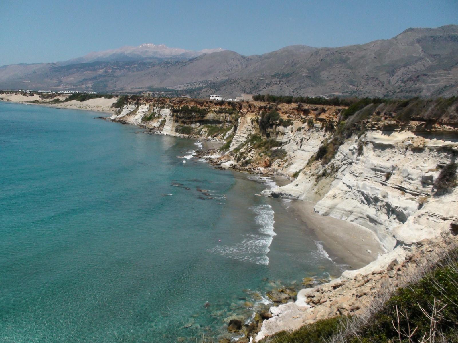
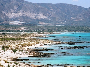
Kedrodasos (i.e. cedar forest) is an amazing beach, located 76km southwest of Chania and 1km east of the famous Elafonissi lagoon. The beach is filled with juniper trees (mistakenly confused with cedars) and sand dunes, reminding of Lebanese beaches.
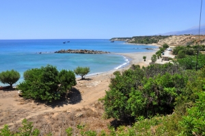
Glyka Nera (meaning "sweet water") is one of the most beautiful beaches in Crete, with deep blue water color and nice pebbles. In 2003, the beach was ranked among the best 20 in Europe by London Times. This is located 4 km west of Chora Sfakion and 75km south of Chania. This is called like this because of the fresh water that gushes from the pebbles!
- Home
 Beaches
 Nature
 Past
Past Destinations
 Highlights
 West Crete
- Central Crete
- East Crete
- Towns
- Chania Prefecture
- Chania
- Paleochora
- Kissamos
- Georgioupolis
- Chora Sfakion
- Loutro
- Rethymnon Prefecture
- Rethymnon
- Agia Galini
- Plakias
- Spili
- Anogia
- Heraklion Prefecture
- Heraklion
- Hersonissos
- Malia
- Matala
- Agia Pelagia`
- Archanes
- Kokkinos Pirgos
- Lassithi Prefecture
- Agios Nikolaos
- Elounda
- Sitia
- Ierapetra
- Makrigialos
- Palekastro
- Zakros
- Lassithi Plateau
- Get Prepared


