







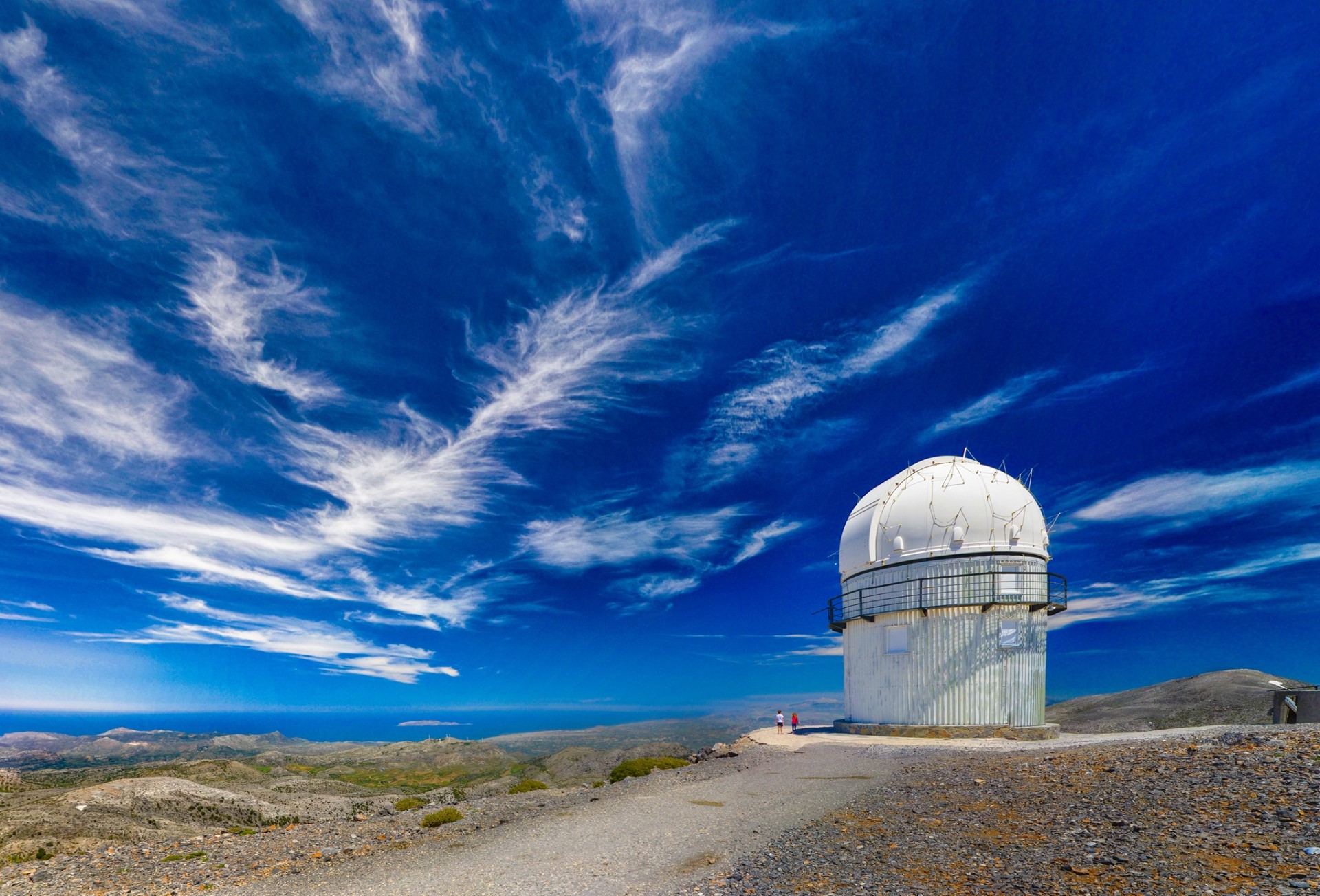
Psiloritis UNESCO Global Geopark
The Psiloritis UNESCO Global Geopark lies in central Crete and encompasses the Psiloritis mountain range, the Talea Mountains and the surrounding valleys. It extends from the mountain’s southern foothills in Messara and the Amari Valley to the northern coast. The landscape is dominated by Timios Stavros, Crete’s highest summit, at 2,456 metres.
The Geopark was established in 2001 through a local initiative, with scientific support from the Natural History Museum of Crete. It joined the European Geoparks Network that same year and has been recognised as a UNESCO Global Geopark since 2015. This designation connects geological heritage with nature conservation, education and sustainable local development.

Geological heritage
The rocks of Psiloritis record different stages in Crete’s geological evolution. Marine fossils, folds, faults and successive tectonic nappes reveal the processes that transformed ancient marine formations into mountain landscapes.
Distinctive geosites include the Vossakos folds, the Kourtsa rock formations at Chonos and sites containing fossilised corals and shells. Ophiolites preserve remnants of ancient oceanic crust, while the dissolution of limestone by water has created caves, potholes, dolines and underground passages.
Landscapes and natural environment
From the lower valleys to the highest summits, olive groves and cultivated land give way to scrubland, kermes oak woodland, mountain grasslands and bare rocky slopes. The considerable differences in elevation and varied terrain provide habitats for rare and endemic plants and animals.
Caves such as the Idaean Cave combine geological and archaeological significance. Plateaus, gorges and springs complete a landscape where water, although often absent from the surface, continues to shape the mountain underground.
People and culture
Archaeological sites, monasteries, old churches, dry-stone walls and stone shepherds’ huts, known as mitata, bear witness to the long human presence on Psiloritis. Livestock farming, cheesemaking, weaving and music remain closely connected with life in its mountain communities.
Geotrails, hiking paths and information centres offer ways to discover this heritage. Exploring the Geopark combines observing geological formations with visiting villages and monuments and learning about local traditions.
 Stay nearby
Nearby places of interest
Straight-line distances
 0.4 km
Anogia village
 0.8 km
Nikos Xylouris House
 0.8 km
Alkiviadis Skoulas (Grilios) Museum
 0.9 km
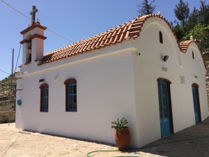
Church of Saint John the Baptist at Anogia
 0.9 km
Saint Nektarios Monastery at Anogia
 3.3 km
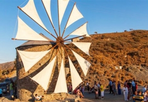
Gonies Windmill
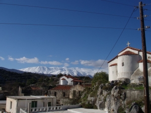 3.3 km
Church of Saint George at Kamariotis
 3.8 km
Hamoto Spiliari Cave
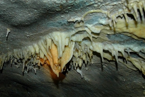 3.9 km
Chainospilios Cave at Kamaraki
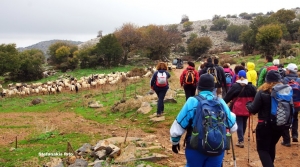 4.1 km
Trail Kroussonas - Livadi - Zominthos
 4.2 km
Trail Anogia - Zominthos - Nida
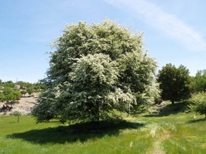 4.3 km
Hawthorn of Zominthos
 4.3 km
The Minoan Palace of Zominthos
 4.4 km
Kourtsa Rock Formations at Chonos
 4.7 km
Sfendonis Cave
 4.7 km
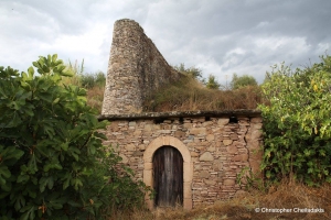
Paliomylos watermill at Gonies
 4.8 km
Church of Saint John the Baptist in Axos
 4.8 km
Ancient Axos


