








 Rodakino Gorge
The canyon is formed north of Rodakino village and is inaccessible without the use of canyoning equipment. It starts south of the summit of Kryoneritis Mount and after 5km it merges with the canyon of SykiaSykia, just before reaching the bridge of Rodakino. The gorge part before meeting Sikia has 16 rappels while the remaining part in Sikia gorge till the bridge has 4 more.
It is dry most of the year and in many places the width approximates only 1.5m. Canyoners usually enter the gorge from its middle and not from its start. In order to locate the entrance point we drive in a dirt road that starts from Rodakino and ends at a sheepfold approximately 2.5km northeast. From here we descend a small stream till we meet the riverbed of the canyon. This section of the canyon has maximum rappel of 15m and requires about four hours to cross.


Nearby places of interest
Straight-line distances
 1 km
Sykia Gorge at Rodakino
 1.4 km
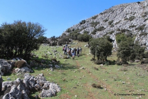
Trail E4 Rodakino - Kryoneritis - Alones
 2.1 km
Perdikaris Gorge
 2.2 km
Mount Krioneritis
 2.5 km
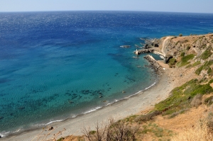
Klimata beach
 2.8 km
Michael Archangel monastery (Finikas)
 2.8 km
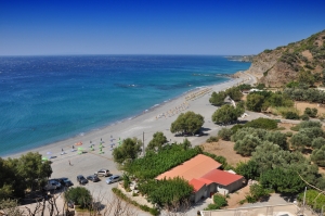
Korakas beach (Rodakino)
 3.3 km
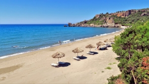
Polirizos beach at Rodakino
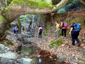 3.6 km
Trail Alones - Nissi - Agios Konstantinos
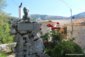 3.6 km
Saint Onuphrius church at Alones
 3.7 km
Argouliano Gorge
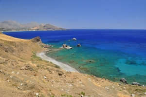 4 km
Pefkias beaches
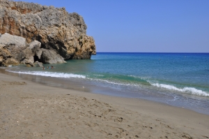 4.1 km
Peristeres beach
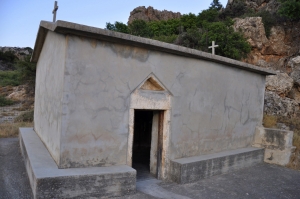 4.2 km
Saint Paraskevi church at Argoules
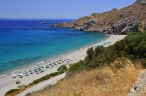 4.2 km
Souda beach near Plakias
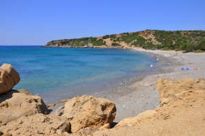 4.6 km
Agia Marina beach
 4.8 km
Skaloti Gorge
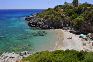 4.8 km
Fotinari beach
Additional Info
- Length (km): 3.2
- Type: Canyoneering equipment needed
- Location: Rethymnon Prefecture
- Water: Generally dry
- Difficulty (0-10): 4
- Altitude difference (m): 300
- Hiking Hours: 6
- Accessibility: Dirt track
- Maximum Rapel Height (m): 15
- Altitude (m): Entrance 440, Exit 140


