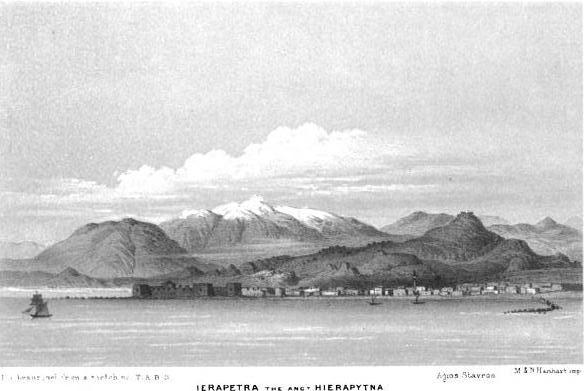





The Castle of Ierapetra
Ierapetra already possessed the seaside Kales Fortress during the Venetian period, but the town was not surrounded by a continuous defensive enclosure. The low landward wall around Ierapetra was constructed later by the Ottomans, who felt threatened by pressure from the local population. The wall protected the town only from the land, and its layout is known mainly from a plan recorded by the British traveller Thomas Abel Brimage Spratt.
The wall began at the waterfront, east of the present Archaeological Collection of Ierapetra, and continued past Kothri Square and Mosque Square before reaching the area of Sarakina. It had two principal gates: one on its northern side, near the present Town Hall Square, and another on the western side, close to Mosque Square.
Outside the wall was a water-filled moat, approximately 2.5 m wide and 1.5 m deep, which the inhabitants called the hendeki. The fortifications were repaired in 1823 and again in 1829.
Following the Ottoman withdrawal from Crete in 1898, the wall was demolished for aesthetic, urban-planning and political reasons. The demolition took place in the presence of the French admiral Édouard Pottier, who symbolically gave the signal to the inhabitants. According to the local historical account, approximately 1,500 residents participated in demolishing the fortifications, which had become closely associated with Ottoman rule.
Most of the wall has now disappeared. Small remains and traces have been identified near Town Hall Square, recalling the extent of the former fortified town.