



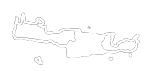





 Tripiti beach at Asterousia
Tripiti lies about 73 km south of Heraklion and 12 km east of Lendas, in a small valley at the mouth of Steno Gorge. The Agiosavvitis River runs through the valley, forming the natural boundary between the communities of Miamou and Vasiliki. The name Tripiti is associated with the natural hollows and caves in the area, especially around Cape Fylakas. The beach, the gorge and the chapel of Panagia Tripiti share the same name. The cave chapel is also known as Protoseptemvriani, a name that refers to its feast day on 1 September.
Two roads to Tripiti
From Loutra near Lendas, where the harbour is located, an unpaved road runs east for about 6 km. It passes Cape Trafoulas before reaching Tripiti. The road is rough and takes you through some of the wildest scenery in the Asterousia Mountains. You can also join it from Krotos.
The second route starts in Vasiliki on the Messara Plain, which you can reach via Agioi Deka. The unpaved road runs for about 9 km through the Asterousia Mountains, past Agios Savvas Gorge and the Agios Savvas olive grove. Near the beach, at the spot called Steno Farangi, the road squeezes between high rock walls that nearly meet above the riverbed. At its narrowest, there is room for only one car. The passage is worth seeing even if you reach the beach from Lendas.
The beach and archaeological sites around the bay
At the mouth of the gorge is a broad beach with fine pebbles and deep green water. A few tamarisk trees set back from the shore offer shade, and there is a small taverna nearby. Tripiti gets busier in August. Caravans and makeshift structures can be seen in places behind the beach.
The small Cape Fylakas marks the western edge of the bay. It has natural caves and traces of structures associated with the ancient harbour. Northeast of the beach, on the hill known as Papouri or Adami Korfali, excavations led by Antonis Vasilakis uncovered a Prepalatial Minoan settlement with stone houses, narrow passageways and everyday objects. The whole bay is visible from the top of the hill. A Minoan tholos tomb also stands at Kalokampos.


 Stay nearby
Nearby places of interest
Straight-line distances
 0.2 km
Fylakas beach at Tripiti
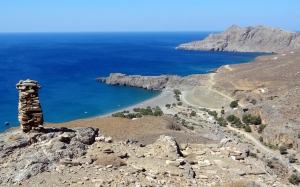 0.6 km
Tripiti Minoan settlement
 1.1 km
Trail Tripiti - Leprias - Katarti
 1.5 km
Vyzaroplaka beach
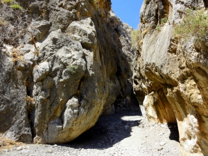 1.8 km
Trafoulas Gorge
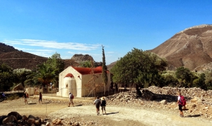 1.8 km
Agios Savvas Olive wood
 1.8 km
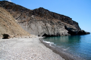
Leprias beach
 2.2 km
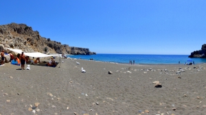
Trafoulas beach
 2.3 km
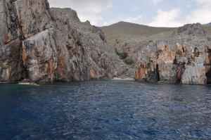
Katarti beach
 2.8 km
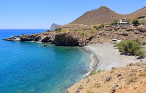
Loutra beach
 2.8 km
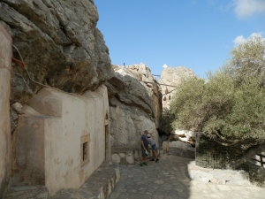
Panagia Vithanos church at Krotos
 3.1 km
Zoodochos Pigi Monastery at Kapetaniana
 3.3 km
Vourlidia beach at Salamias
 3.3 km
Tripiti Gorge
 3.7 km
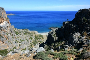
Salamias beaches
 4 km
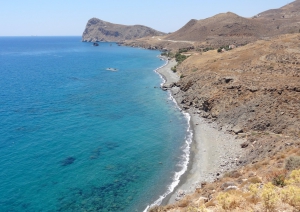
Petrakis beach
 4.8 km
Cave Peristeras at Salamias
 4.9 km
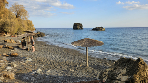
Elephant beach in Lendas
Additional Info
- Sea water color: Blue
- Sand type: Fine Pebbles
- Location: Heraklion Prefecture, Central Crete, South Crete, Messara area (Kainourgiou)
- Depth: Deep
- Sea surface: Usually calm
- Crowds: Normal
- Facilities: Food / water nearby
- Other Information: Ideal for snorkeling / spearfishing, Tree Shade, Rock shade
- Accessibility: Dirt track


