Elounda is one of Greece’s best-known luxury resorts, set within a remarkable natural and historical landscape around Korfos Bay and the ancient city of Olous.
Elounda lies 10 km north of Agios Nikolaos, on the northwestern side of the Gulf of Mirabello, in the province of Mirabello. The wider area has developed into one of Greece’s best-known holiday destinations, with luxury hotels and visitors from around the world.
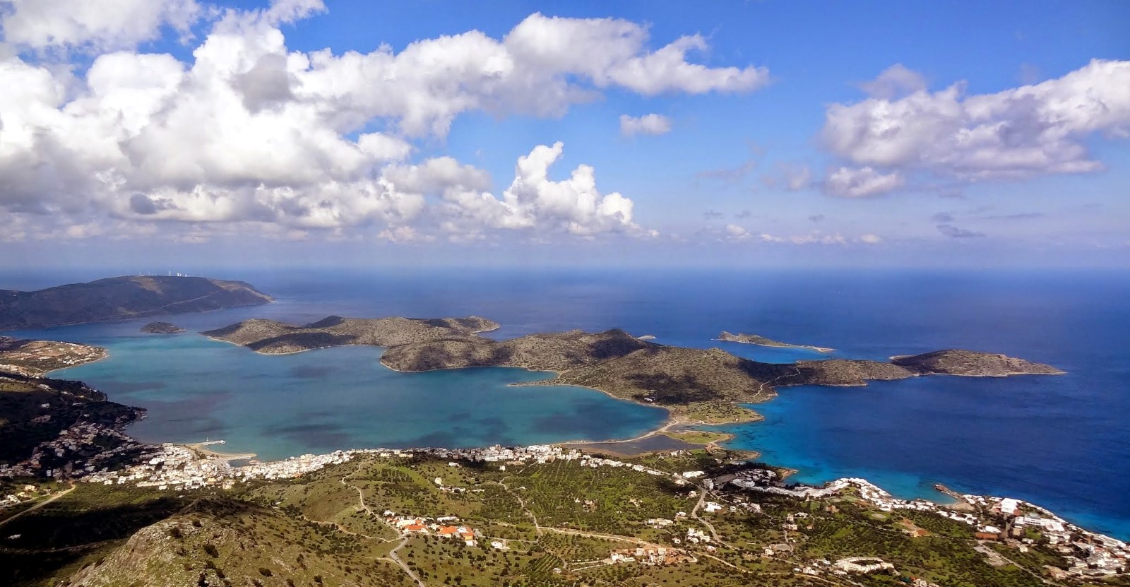
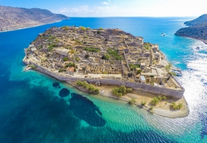
Beyond its cosmopolitan character, Elounda offers an exceptional combination of natural scenery and historical monuments. The coastal settlement, known locally as Schisma, stands at the edge of the sheltered Korfos Bay, which is often called the lagoon of Elounda. The Spinalonga Peninsula extends opposite the town, while the fortified islet of Kalydon, known internationally as Spinalonga, guards the entrance to the bay.
A short tour of Elounda
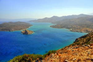
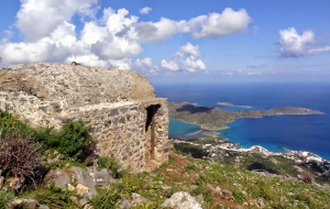
The first panoramic view of Elounda appears at Lenika, along the road from Agios Nikolaos. From here, visitors can see the Gulf of Mirabello, the sheltered waters of Korfos, the Spinalonga Peninsula and, in the distance, the picturesque village of Plaka and the island of Spinalonga.
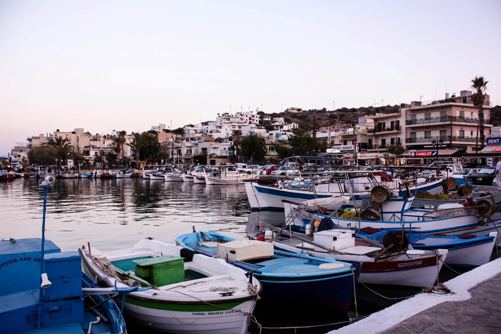
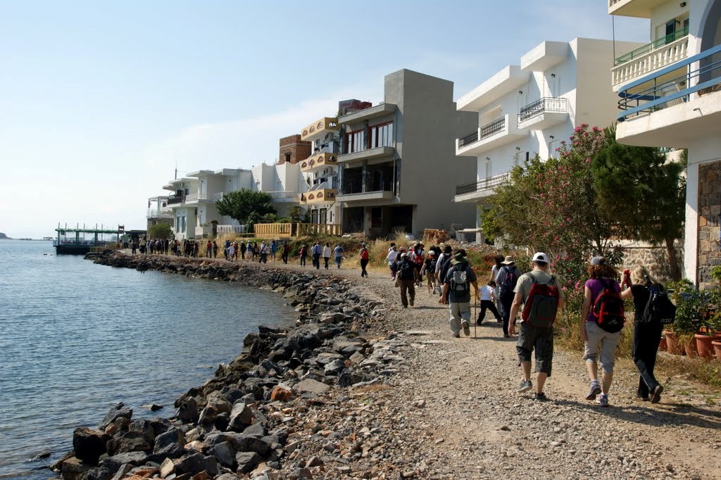
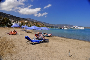
Schisma is home to the harbour, waterfront square, shops, cafés, tavernas and a wide selection of accommodation. Excursion boats depart from the harbour for Spinalonga and tours around the Gulf of Mirabello, with services varying according to the season.
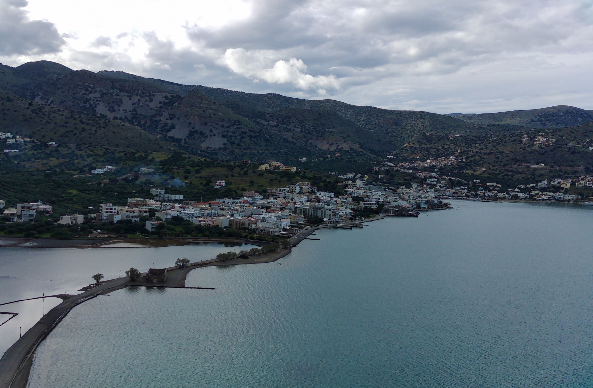
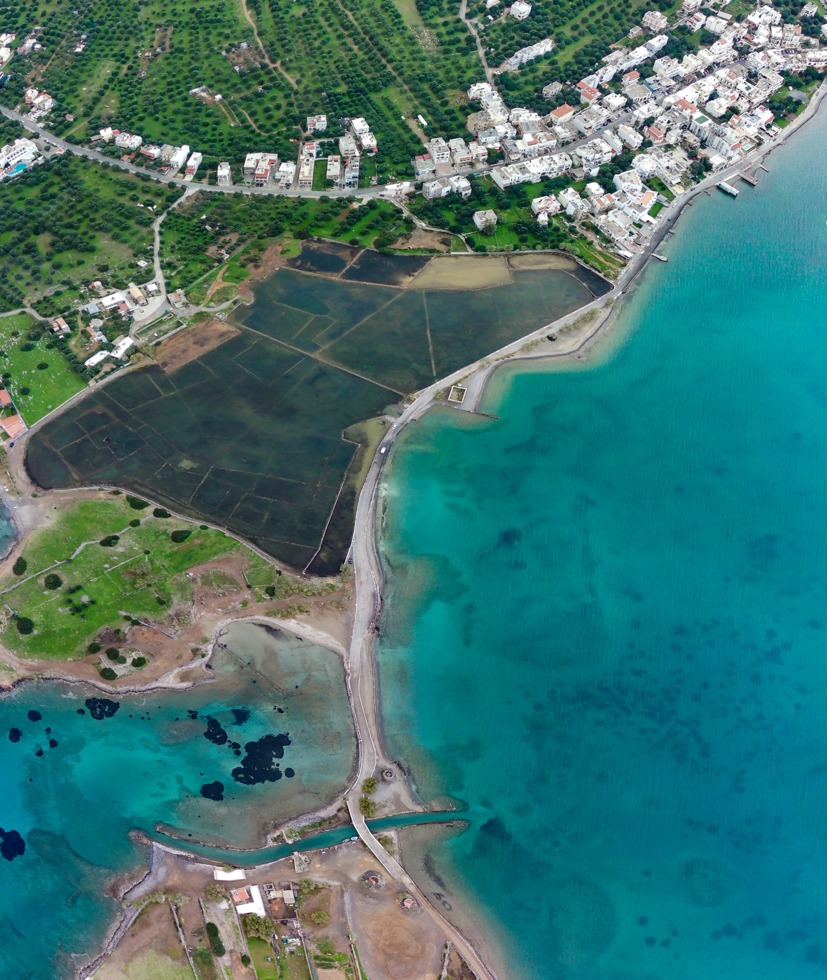
Following the coastal road eastward leads to the old salt pans of Elounda. Salt production was already an important activity during Venetian rule, and the local salt was distributed to markets on Crete and abroad. The abandoned salt pans are now an ecologically important wetland that attracts many bird species, including herons and, at certain times of the year, flamingos.
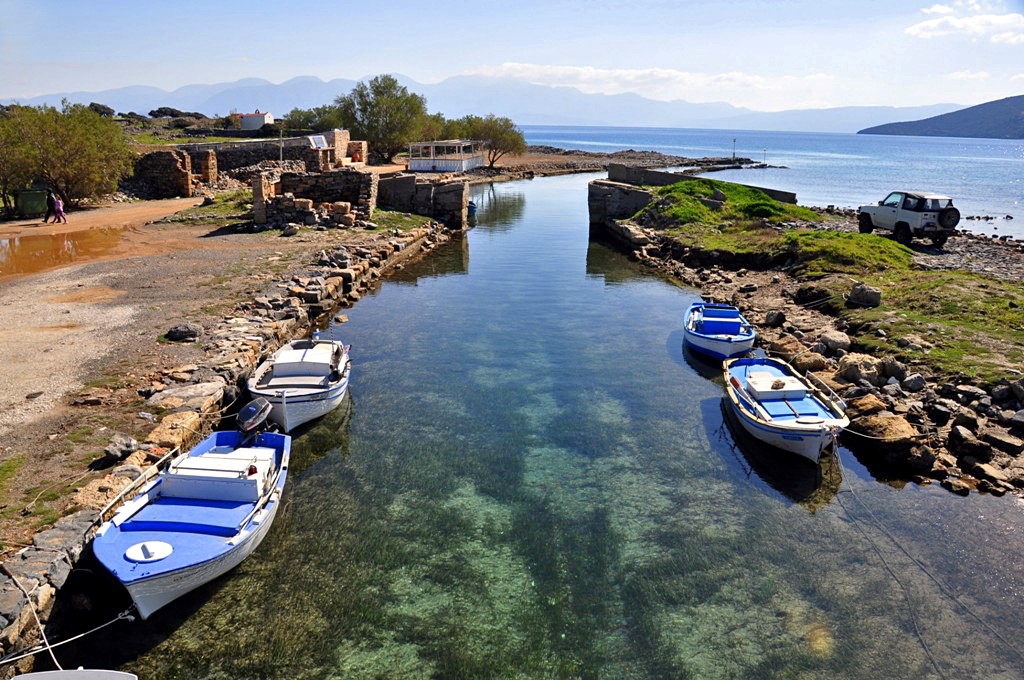
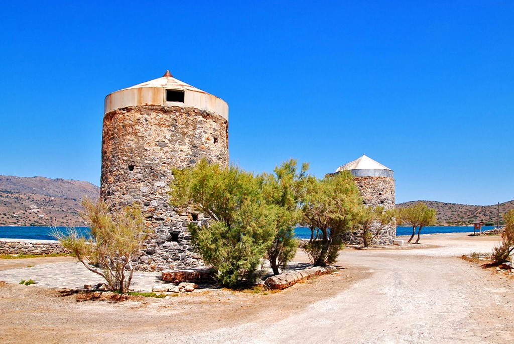
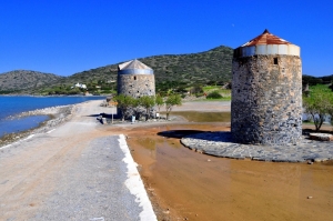
A short distance farther on are the old stone windmills and the bridge at Poros. Beneath the bridge passes the narrow Poros Canal, connecting the Gulf of Mirabello with Korfos Bay. The modern canal was cut in 1897–1898 under the French administration, improving access for small vessels and effectively turning the large peninsula into an island.
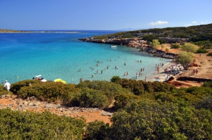
The road continues onto the Spinalonga Peninsula, also known in some sources simply as Nisi, meaning “island”. Abandoned fields, dry-stone walls and old farm buildings can still be seen across the landscape. Near the Chapel of Saint Luke, a short path leads to Kolokytha Beach, known for its clear turquoise water. The small islet of Kolokytha lies directly opposite the beach.
Farther north are the remains of an Early Christian basilica dating from the 5th–6th centuries, while the remote northern part of the peninsula is home to the Church of Saint Phocas. Reaching the more isolated sites requires hiking and particular care during the hot summer months.
History
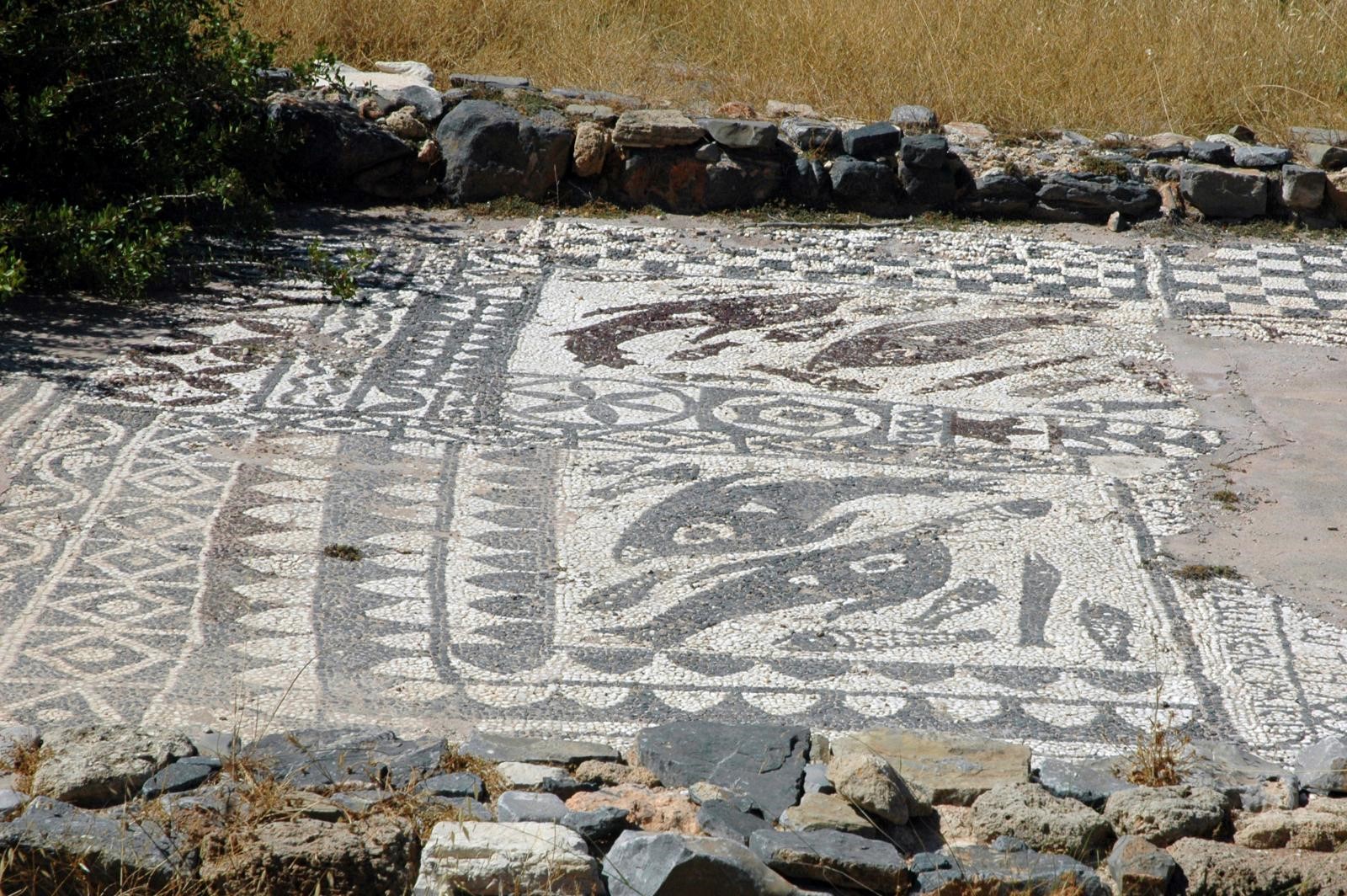
The ancient city of Olous stood in the area of Poros and formed the urban centre of an important city-state of eastern Crete. The site had already been inhabited in Minoan times, but Olous flourished particularly during the Archaic, Classical, Hellenistic and Roman periods. Part of its ruins is now submerged in the shallow waters around Poros and can be seen when the sea is calm.
The economy of Olous was based on maritime trade, fishing, olive cultivation, mercenary service and the quarrying and export of whetstone, known in antiquity as “Naxian stone”. The quarries were located on the surrounding hills, particularly in the area opposite Oxa.
The city’s coins probably depicted Zeus Tallaios and the nymph Britomartis. According to Pausanias, a sanctuary at Olous contained a wooden cult statue of Britomartis made by the mythical craftsman Daedalus. Inscriptions and archaeological finds demonstrate the city’s relations with other Cretan cities, mainland Greece and the islands of the Aegean.
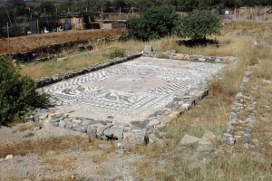
Settlement continued during the Roman and Early Byzantine periods. Near Poros stands the three-aisled Early Christian basilica of Olous, dating from the 5th century and built over the remains of an earlier structure. From the 7th and 8th centuries onward, insecurity along the coast and maritime raids gradually forced the population to move to more defensible inland positions, including the fortified heights of Oxa.
During Venetian rule, from 1211 to 1669, the salt pans of Elounda acquired considerable economic importance. To protect the bay, the salt works and the sea routes, the Venetians constructed the powerful fortress of Spinalonga in the late 16th century.
In 1897–1898, during the presence of the international forces on Crete, the French administration completed the modern Poros Canal. Between 1928 and 1939, the sheltered waters of Korfos Bay were used as a landing and refuelling station for Imperial Airways seaplanes travelling on routes towards the East.
During the Second World War, the area was occupied and fortified by Axis forces, while parts of the coast were mined to prevent an Allied landing. After the war and the clearance of the minefields, tourism gradually began to develop. From the final decades of the 20th century, Elounda became internationally established as one of Greece’s best-known luxury destinations.