









 Preveli palmbeach
Preveli Beach lies about 35 km south of Rethymno and 10 km east of Plakias. This is where the Megas Potamos, or Grand River, reaches the sea. The river flows down through Kourtaliotiko Gorge and is fed by a tributary from Fratiano Gorge. Preveli is one of southern Crete’s best-known beaches and draws thousands of visitors each summer. It was a favourite haunt of hippies in the 1960s and 1970s.
The river and palm grove
The riverbanks are home to Crete’s second-largest palm grove, after Vai. The Cretan date palm (Phoenix theophrasti) grows here. The river flows year-round and widens just before reaching the sea to form the long, narrow Lake Preveli. A footpath follows the bank in the shade of the palms and other trees. Farther upstream, natural pools form in the gorge. The area is part of the Natura 2000 network.
On 22 August 2010, a wildfire burned a large part of the palm grove, which recovered substantially in the years that followed. Another wildfire in late July 2026 mainly affected the area near the river mouth. New growth was recorded on fire-damaged palms within a few weeks.
The beach
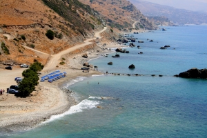
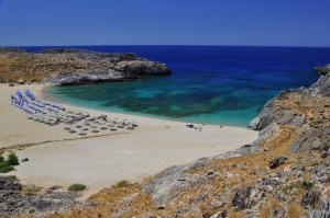
A sandy beach with a pebbly seabed lies at the river mouth. The seawater is cooler where the river flows into it. At the eastern end of the beach, a rock known as Glymmenos Volakas rises from the water and resembles a heart from certain angles. Small sea caves lie beyond the eastern end of the beach.


Getting to Preveli
The western route follows the road from Plakias towards Preveli Monastery. About 1.5 km beyond the Lower Monastery, a turning leads to the car park high above the western side of the beach. It overlooks the sand, the river mouth and the palm grove. The stepped path down takes about 15–20 minutes. The return walk is more demanding because of the steep climb.
For the eastern approach, the road crosses the Megas Potamos and continues to Drymiskiano Ammoudi. A short coastal path leads from there to Preveli in about 5–10 minutes. In summer, weather permitting, excursion boats call at the beach from Plakias and Agia Galini.
Preveli Monastery and the Palaeolithic finds
The beach takes its name from the historic Preveli Monastery, which consists of two complexes. The Lower Monastery (Kato Moni), dedicated to St John the Baptist, stands near the old stone bridge. The Upper Monastery (Piso Moni), dedicated to St John the Theologian, stands high above the sea.

During surveys in 2008 and 2009 in the wider Plakias area, Thomas Strasser, Eleni Panagopoulou and their colleagues found stone tools at several sites, including in the Preveli area. Based on the geological context, some of the finds were estimated to be at least 130,000 years old. They are significant for the study of early human presence on Crete and of seafaring in the Mediterranean.
 Stay nearby
Nearby places of interest
Straight-line distances
 0.4 km
Drymiskos beaches
 1.1 km
Saint Photine Church at Preveli
 1.7 km
Preveli Monastery
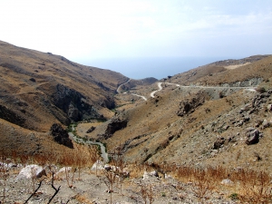 1.7 km
Swallows' Canyon
 2.5 km
Saint George church at Xylomacheri
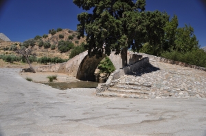 2.5 km
Preveli Bridge
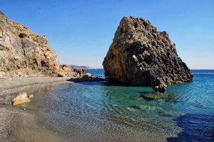 2.9 km
Gialopotama beach, Kerames
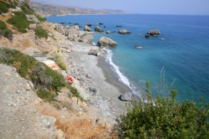 3.3 km
Pirgos beach, Kerames
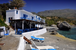 3.7 km
Agia Fotini beach
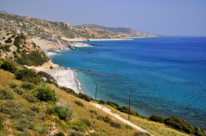 4 km
Pahia Ammos beach, Kerames
 4.2 km
Church of Dormition of Theotokos at Drymiskos
 4.3 km
Fratiano Gorge
 4.5 km
Tripiti hole at Skinaria
 4.6 km
Church of Nativity of Theotokos at Drymiskos
 4.8 km
Oriseum Museum
 4.9 km
Katsouni beach
 5 km
Kourtaliotis Gorge
 5 km
Skinaria beach at Lefkogia
Additional Info
- Sea water color: Blue
- Sand type: Sand
- Location: Rethymnon Prefecture, West Crete, South Crete, Agios Vasilios area (Plakias)
- Depth: Normal
- Sea surface: Usually calm
- Crowds: Crowded place
- Other Information: Palmtrees, Ideal for snorkeling / spearfishing, Tree Shade
- Accessibility: Paved road


