









 Falassarna Beach
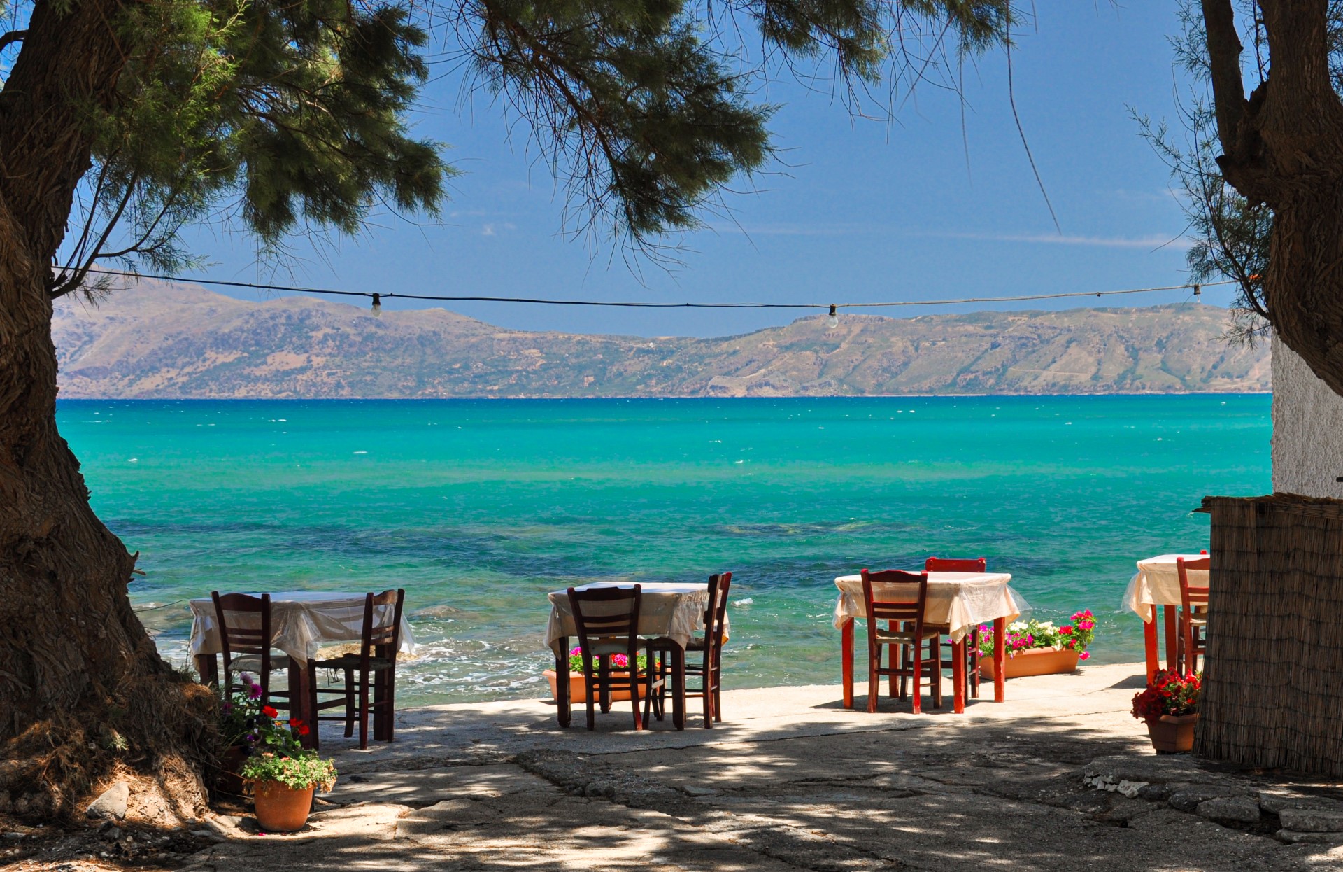
Falassarna lies about 60 km west of Chania, on the western side of the Gramvousa peninsula. Five beaches line the bay, from broad stretches of sand in the middle to small pebble coves at either end. The coast is exposed to westerly winds, which can bring heavy surf. On calm days, the pale shallows stand out against the deeper blue of the open sea.

Pachia Ammos and the northern beaches
Pachia Ammos is the main beach, a wide stretch of sand about a kilometre long. It draws the most visitors and has most of the seasonal facilities, including umbrellas, snack bars and water sports. Farther north lies a second long beach, about 800 metres in length, where rocks and a dune divide the shore into smaller sandy stretches. Nearby, the chapel of Agia Paraskevi stands beside a freshwater spring.
Farther north, beside the archaeological site of Falassarna, is a small pebble cove with a rocky seabed. It faces south and is more sheltered from westerly winds than the open sandy beach.
Livadi, the small harbour and the sunset
South of Pachia Ammos lies Livadi, with a sandy shore and a rocky seabed. Small seasonal pools form there in winter. Farther south, beside the small harbour, there is a little pebble beach.
The wider area is part of the Natura 2000 network. The rare plant Androcymbium rechingeri grows along the coast. The beaches have an unobstructed view westwards, where the sun sets over the sea.
Ancient Falassarna
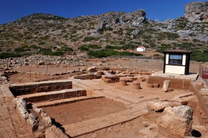
The remains of ancient Falassarna lie on Cape Koutris, north of the beaches. The city flourished as a maritime centre in the 4th and 3rd centuries BC and had an enclosed, fortified harbour. Excavations have uncovered parts of the walls, towers and harbour structures. On the acropolis, investigations at the temple of Demeter have yielded finds mainly from the Archaic period.
The ancient harbour now lies inland, several metres above present sea level. Its position shows how earthquakes raised the west coast of Crete in antiquity. The uplift has been linked to the great earthquake of AD 365, although some studies suggest that earlier earthquakes may also have contributed.
Getting there
The road from Kissamos passes through Platanos. KTEL Chania–Rethymno also serves Falassarna by bus, according to its current timetable.


 Stay nearby
Nearby places of interest
Straight-line distances
 1.6 km
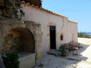
Church of Saint John the Hermit in Falassarna
 2.3 km
Ancient Falasarna
 4.3 km
Kaliviani Beach
 4.5 km
Kales tower at Monastiraki
 4.6 km
Hypapante monastery at Habatha
 4.8 km
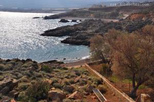
Meri Pigadi Beach
 5 km
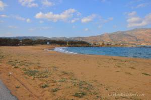
Vigglia Beach
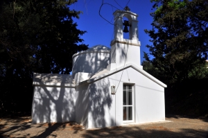 5.1 km
Panagia Church at Zachariana
 5.3 km
Kokina Grema Beach
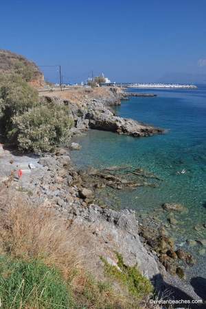 5.6 km
Damialis beach
 5.6 km
Saints Polikarpos, Charalambos and Nikolaos Church at Lousakies
 5.8 km
Saint George Church at Kanavas
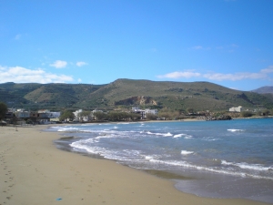 6.2 km
Mavros Molos beach
 6.4 km
Maganistra gorge
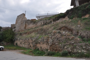 6.6 km
Kissamos Fort (Castel Chissamo)
 6.7 km
Kissamos Town
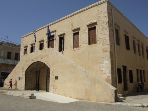 6.7 km
Kissamos Archaeological Museum
 6.8 km
Trail E4 Kissamos - Polirinia - Sfinari
Additional Info
- Sea water color: Turquoise
- Sand type: White Sand, Rocks in places
- Location: Chania Prefecture, West Crete, Kissamos Area
- Depth: Normal
- Sea surface: Usually wavy
- Crowds: Normal
- Facilities: Accommodation options nearby, Food / water nearby, Umbrellas / beds, Sports, Lifeguard, Showers, Blue Flag
- Other Information: Ideal for snorkeling / spearfishing
- Accessibility: Paved road


