")


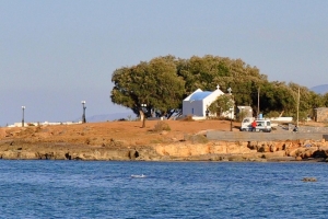
Ένας γάμος ή βάφτιση σε ένα ξωκλήσι δίπλα στη θάλασσα είναι κάτι που γοητεύει όλους όσους παρευρίσκονται, ανεξάρτητα από το πλήθος των ατόμων που το παρακολουθούν. Στην Κρήτη υπάρχουν δεκάδες επιλογές, μερικές από τις οποίες σας παρουσιάζουμε εδώ.

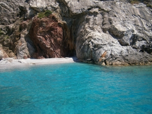
Σχεδόν κανείς ντόπιος δεν γνωρίζει ότι στα Παξιμάδια υπάρχουν παραλίες, καθώς όλοι πιστεύουν ότι είναι απλά δυο μεγάλοι βράχοι μέσα στη θάλασσα. Ωστόσο, στο ανατολικότερο νησάκι, στα νότια, υπάρχει μια υπέροχη παραλία, με φανταστικά πεντακάθαρα νερά και βοτσαλάκι.

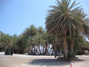
The palm of Theophrastus (Phoenix theophrasti), also known as Cretan Date Palm is a rare endemic species of the Aegean Sea, which is met all over Crete, in several Aegean islands and in Antalya (southwestern Turkey).

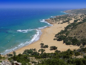
The beauty of the beach and the surrounding region cannot be reflected within the lines of this text. It is not surprising that the Discovery Channel has declared Agiannis as the second best beach in the world after one beach in Hawaii. Indeed, Agiannis is a stunning secluded sandy beach, in a wild African landscape.
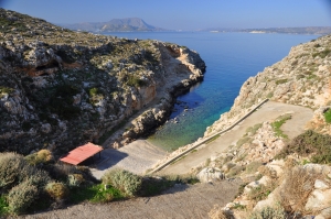
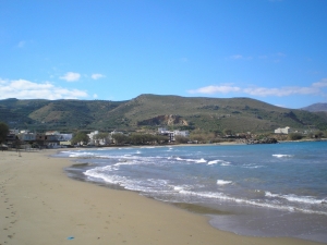
The beach Koutalis is located 25km east of Chania, very close to the edge of Cape Drepano and 1km north of Kokkino Chorio. The area has several fantastic caves, e.g. the Elephants' Cave or Petsis Spilios.

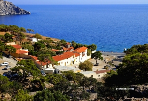
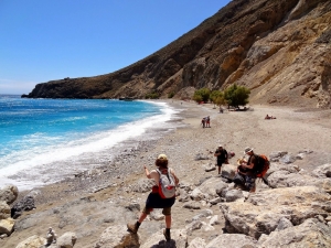
Η Μονή Κουδουμά βρίσκεται 74 χλμ νότια του Ηρακλείου, στη δυτική πλευρά του Ακρωτηρίου Μάρτελος και νότια του όρους Κόφινα (την φηλότερη κορυφή των Αστερουσίων Ορέων). Όλη η περιοχή είναι γεμάτη σπήλαια, στα οποία διέμεναν ερημίτες.