")


 Smiliano Gorge (Kalamafka)
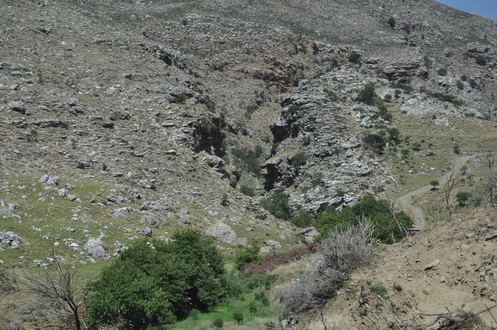
Gorge Smiliano or Kalamafka is located north of the village Ano Meros, about 100km southwest of Heraklion city. Through the gorge runs the Lygiotis river which is originates from the valleys of Gerakari and the slopes of Samitos Mount. The 2.5km long canyon starts near the village Vrysses and next to the abandoned settlement of Smile and ends north of Ano Meros, at a position accessed through asphalt road.
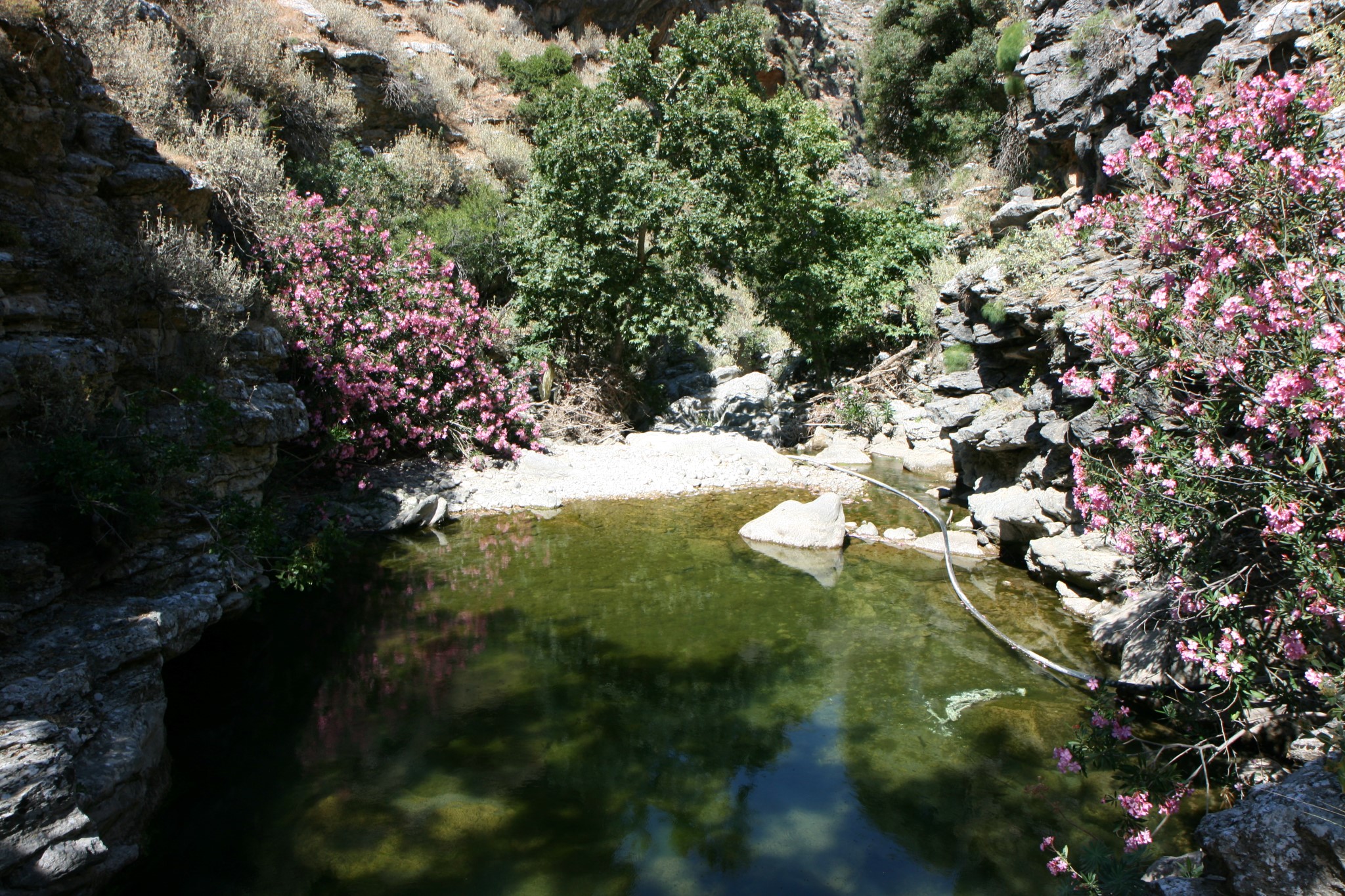
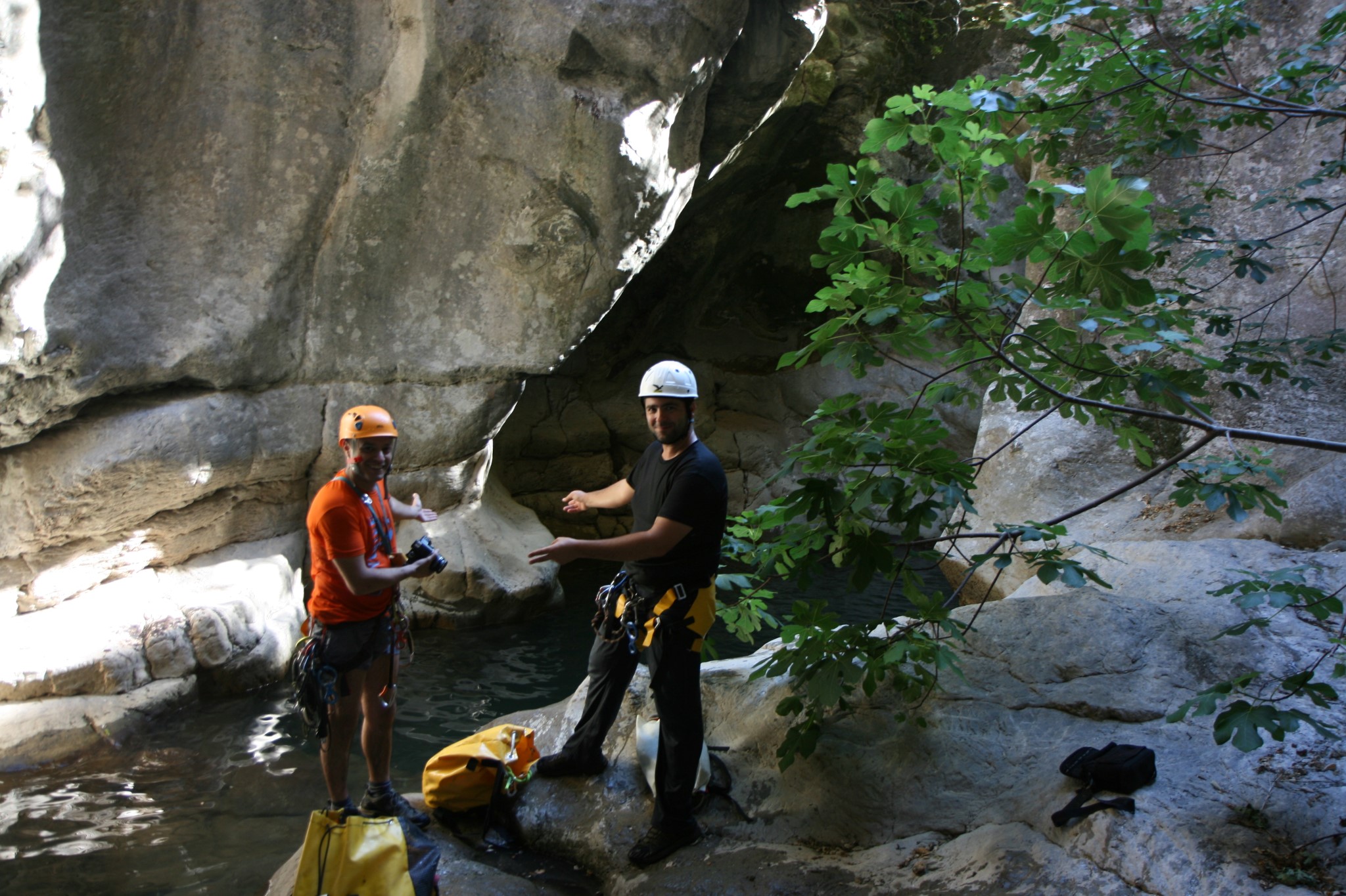
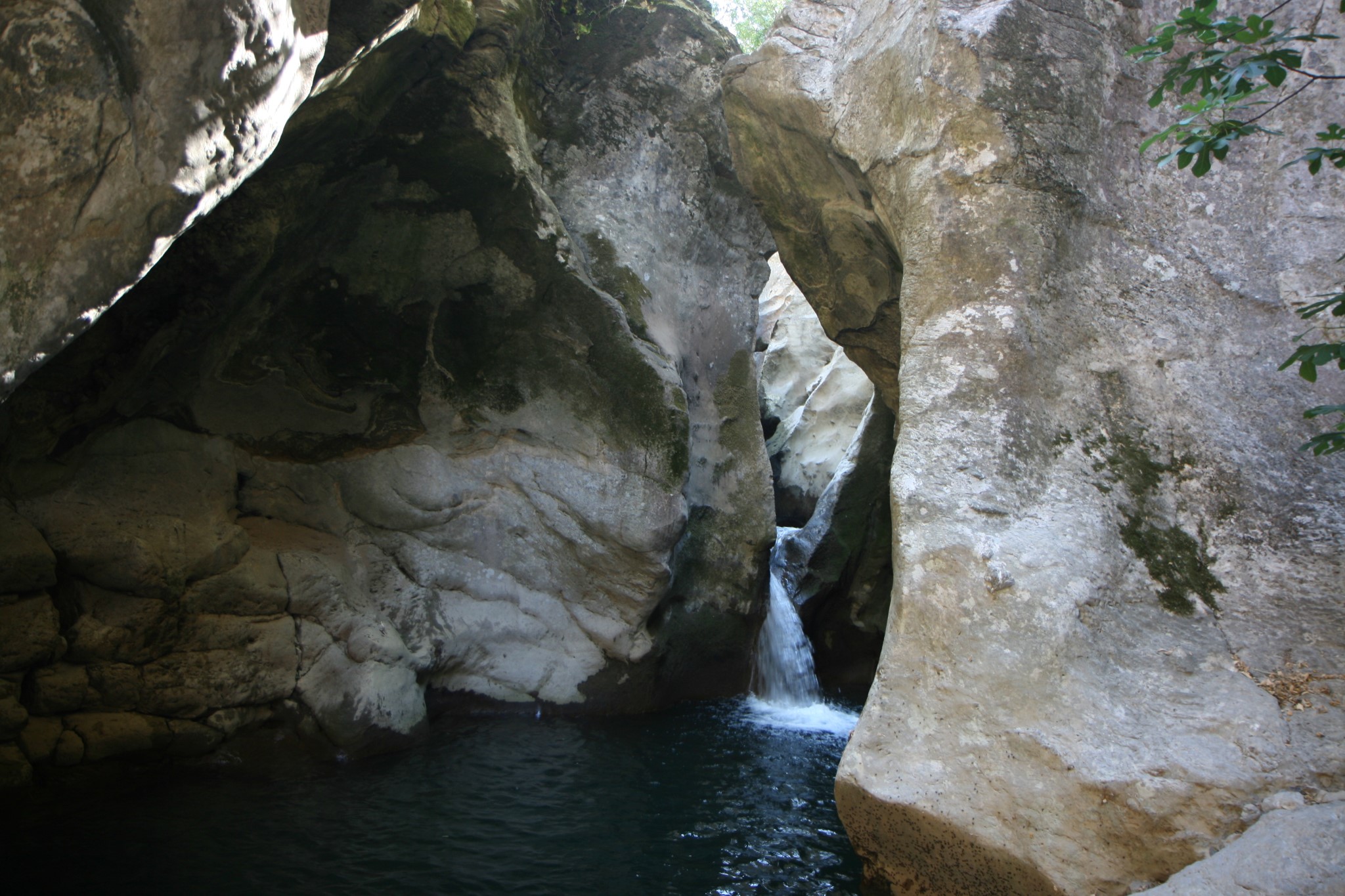
The gorge has a lot of water in winter and this makes the entrance to the gorge quite dangerous even for well-trained canyoners. Instead, one can follow a dirt road that descends from the village of Drygies, which heads just above the gorge. At this point the steep walls that exist at the starting part of the gorge creates a slope with a trail, where one can quite easily descend to the heart of the gorge, exactly at the most impressive point where the continuous and beautiful waterfalls are formed. The gorge forms about 10 impressive rappels with the highest having a waterfall of 13 meters. Equally impressive are the ponds that are created under each waterfall and it is noteworthy that the Slime gorge has the largest and deepest ponds than any other gorge in Crete.
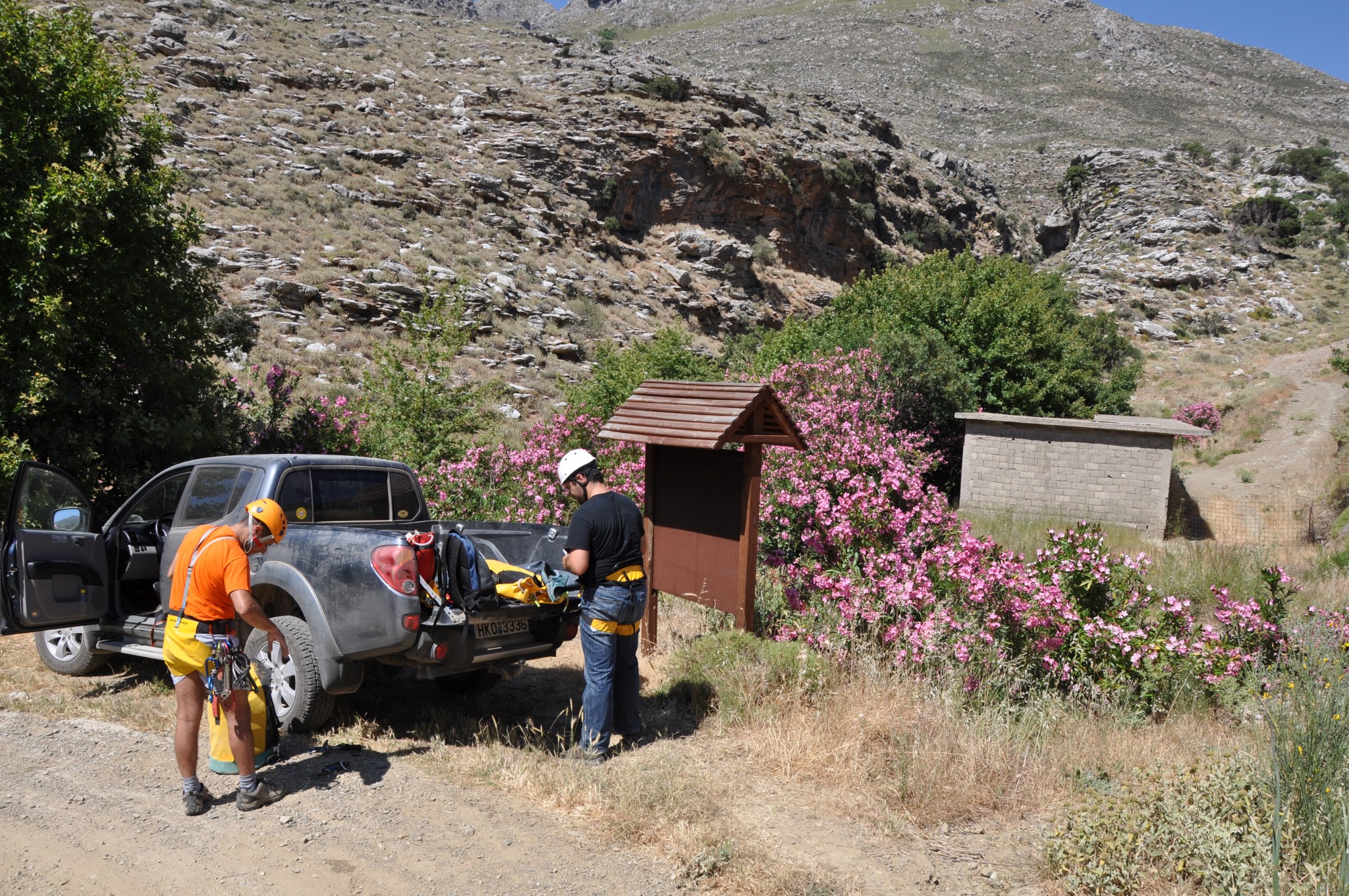


The course in the canyon (as outlined on June of a very rainy year)
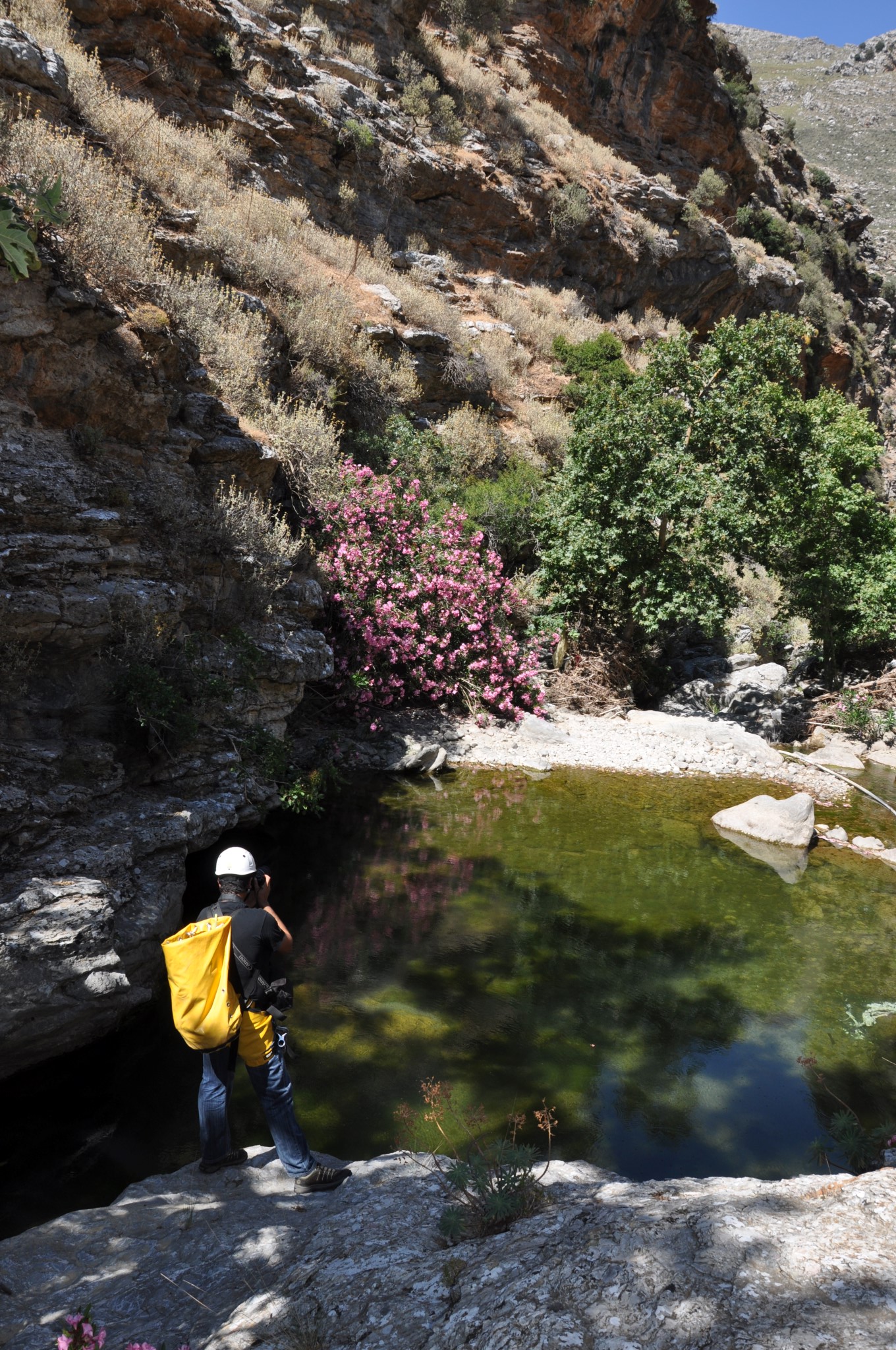
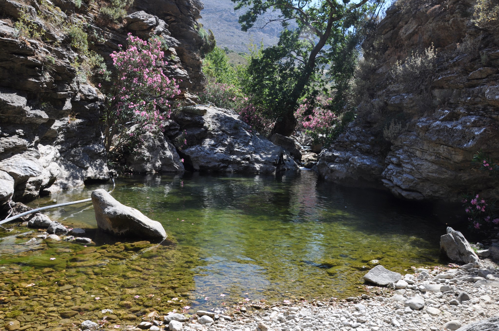
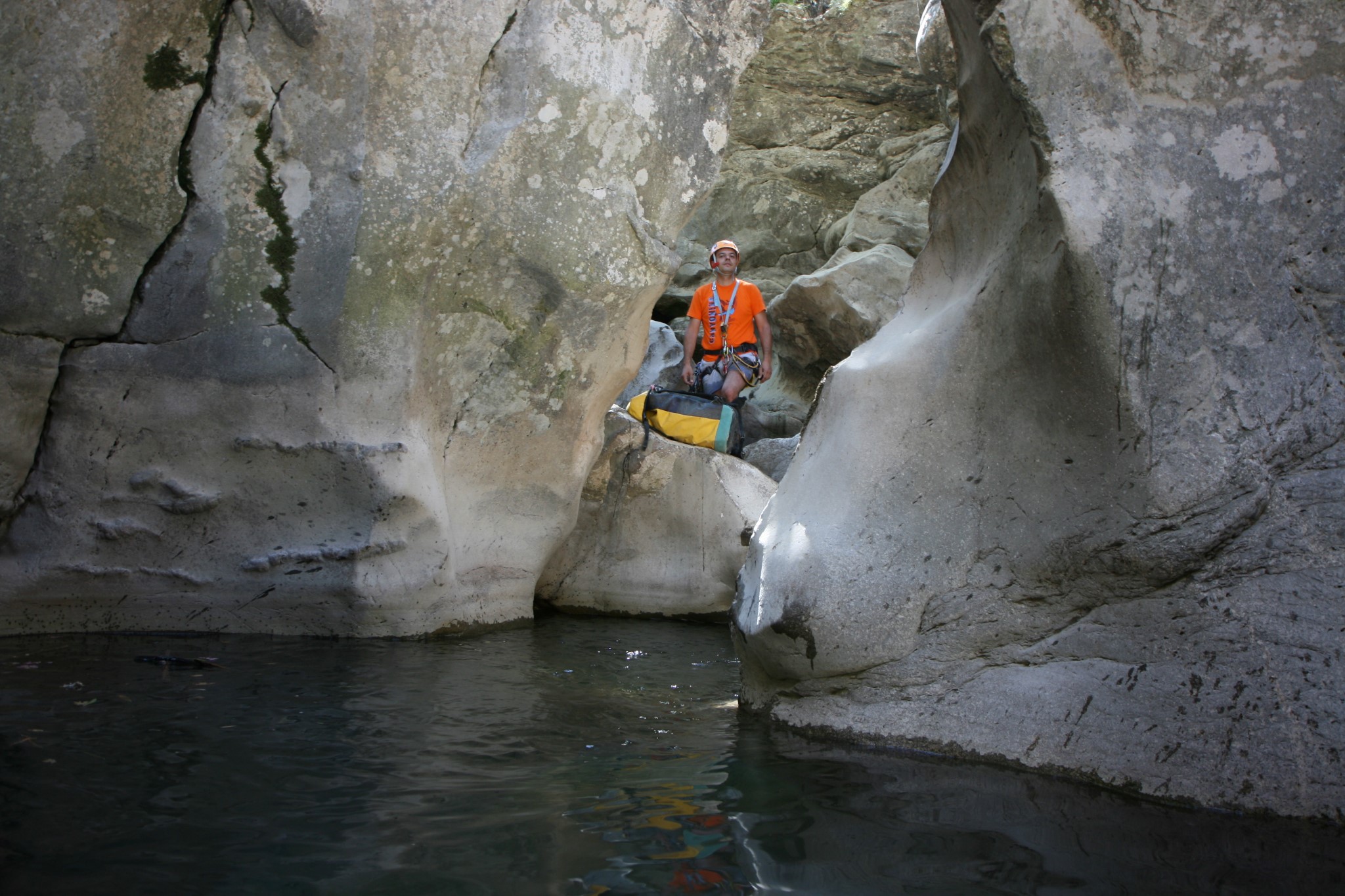
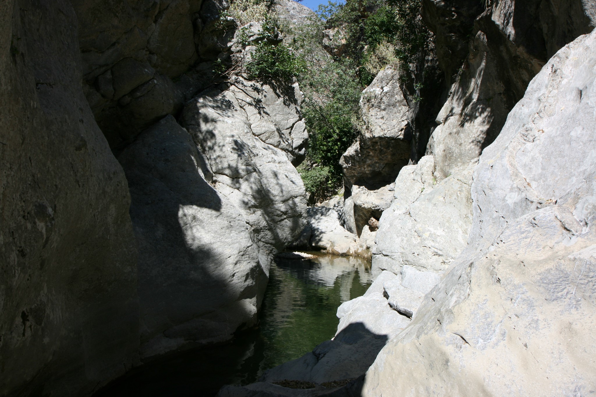
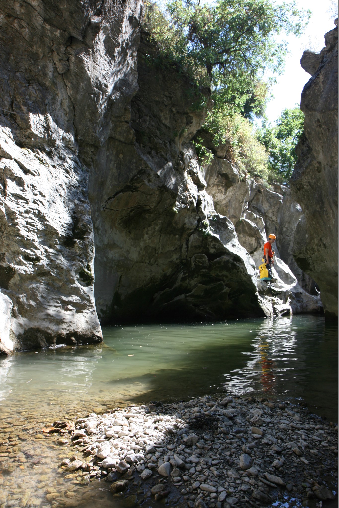
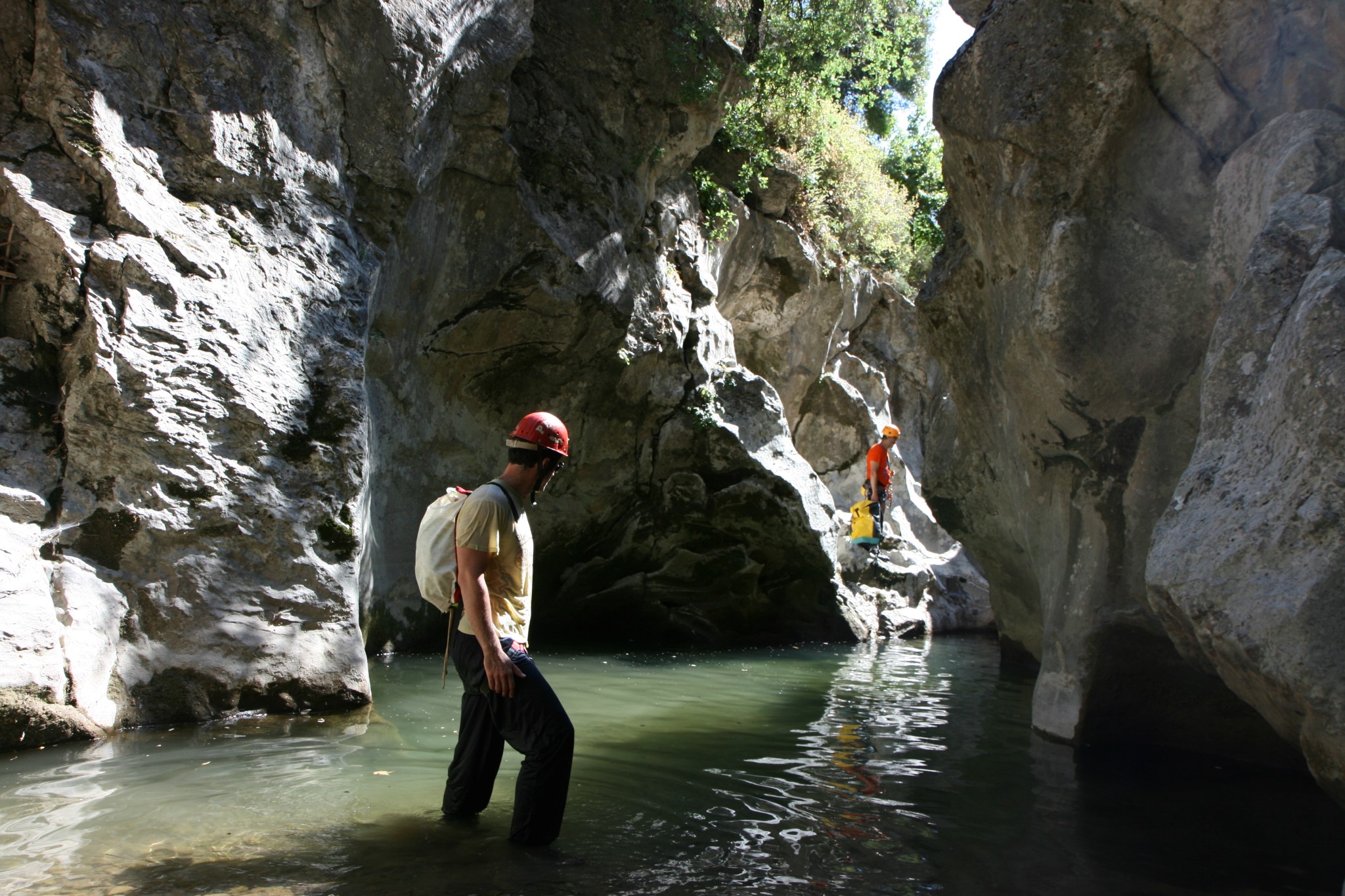
Starting near Smile, we first cross a little arched bridge and just after 50m we enter the main part of the gorge, where a large pond welcomes us. Immediately, the canyon gets narrow (~2m) and forms a very deep pond 2-3m deep requiring swimming. The first small rappel we met ends in a very large and deep pond (ideal for jump), where the depth exceeds 3m.
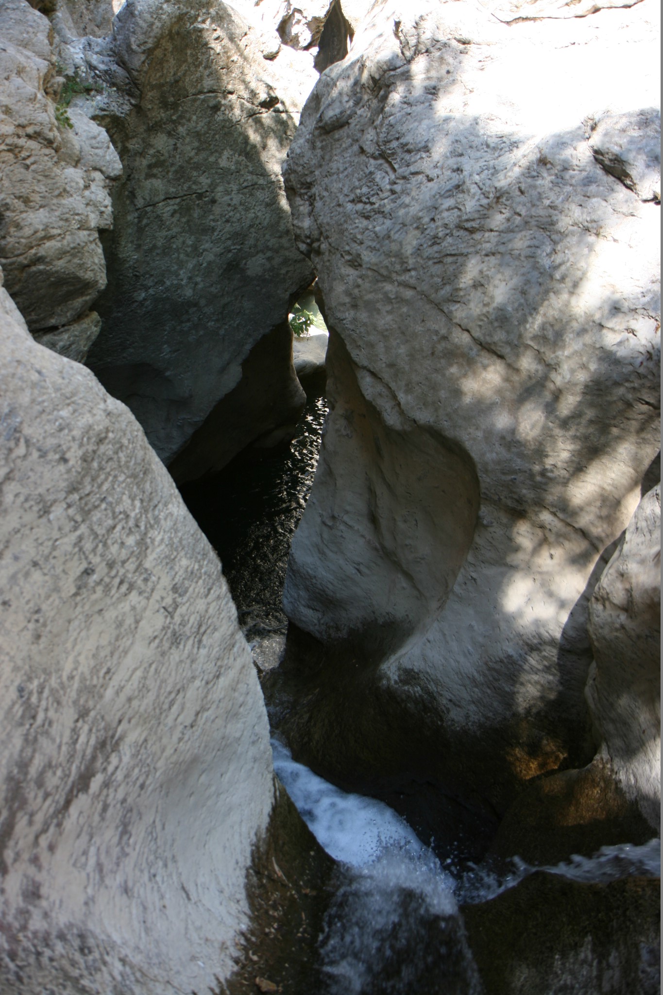
Immediately after this, a rock is stuck between the walls of the canyon, creating a natural arch. After swimming for several meters (> 25) without stepping, we continue our course without any problems. We soon meet the first high waterfall and the gorge get narrower (1-1.5m). Continuing through that narrow point of the canyon requires ropes. Alternatively we can walk aside the canyon until we find the 15m high rappel that results in a very deep pond, ideal for a big jump.
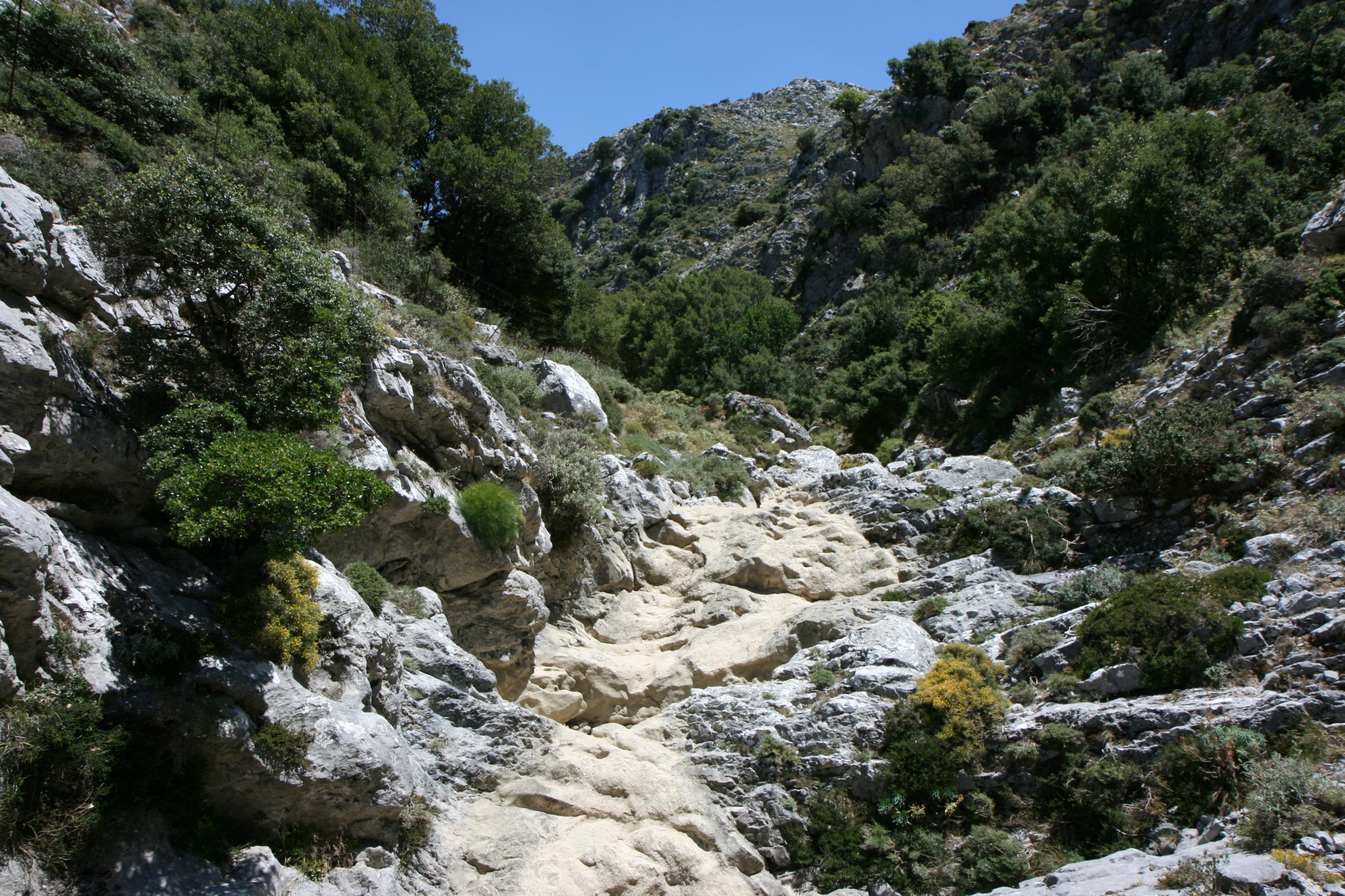
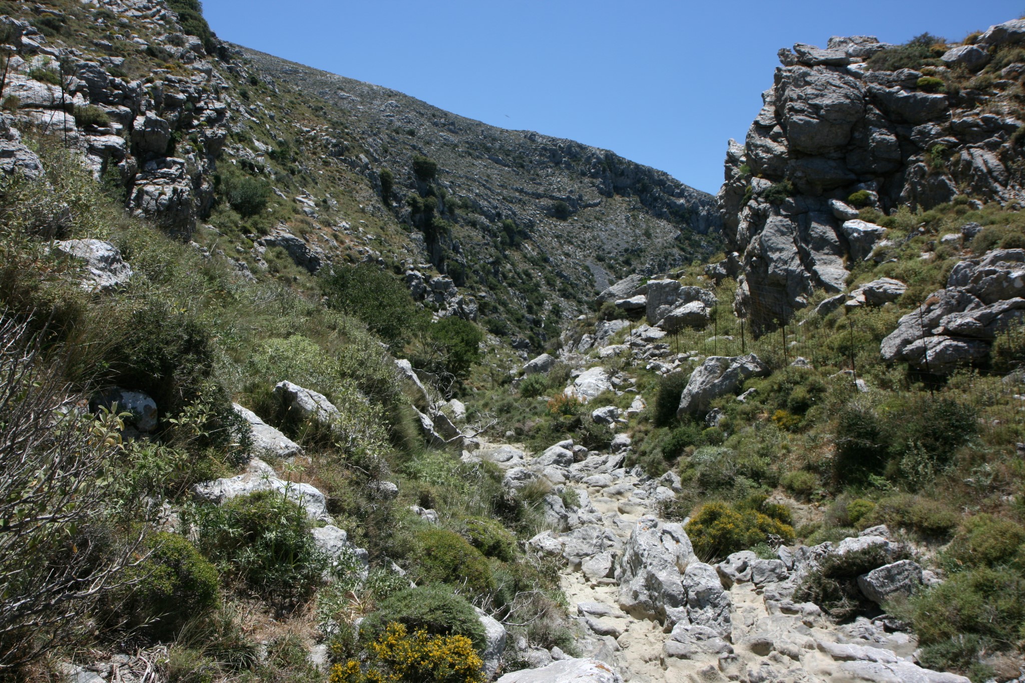
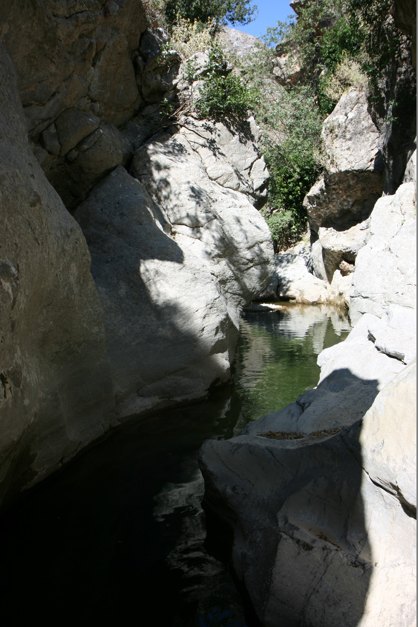
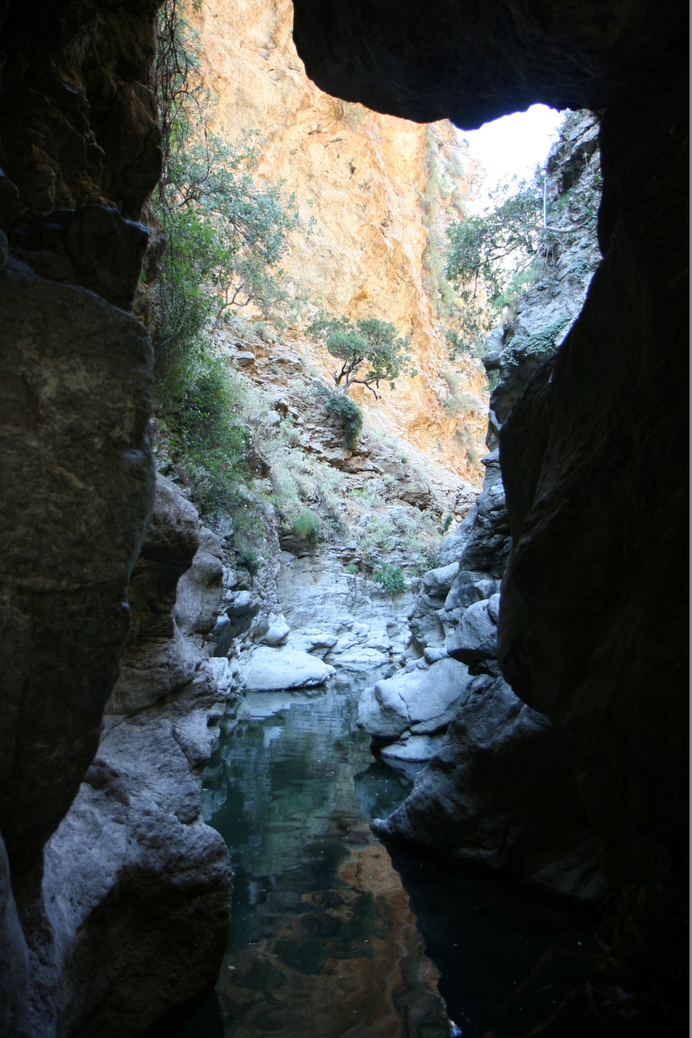
The gorge continues to the east and the deep ponds gradually turn to small shallow ponds. At the gorge end the water is almost vanished, thus nobody can predict the aquatic paradise that lies a few meters before.
What is near me?
Additional Info
- Length (km): 2.5
- Type: Canyoneering equipment needed
- Location: Rethymnon Prefecture
- Water: Water all year round
- Difficulty (0-10): 5
- Altitude difference (m): 200
- Hiking Hours: 3
- Accessibility: Paved road
- Maximum Rapel Height (m): 8


