")


 Kalives Beaches

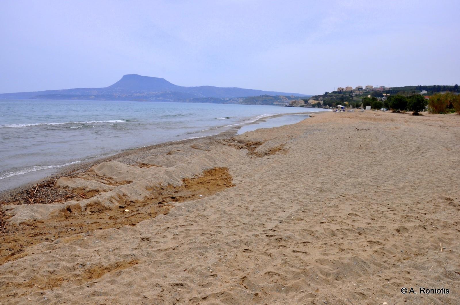
Kalives is a seaside resort located 19km west of Chania, on the south coast of Souda Bay. This picturesque village is built on a fertile green valley, where several rivers flow. The village's name (i.e. “Huts” in Greece) seems to come after the primitive huts that were built by farmers in their fields, to spend the summer nights. Near the village, on its east side, flow the rivers of Xidas and Mesopotamos. Moreover, the several springs inside the sea, combined with the rivers, decrease the sea temperature.
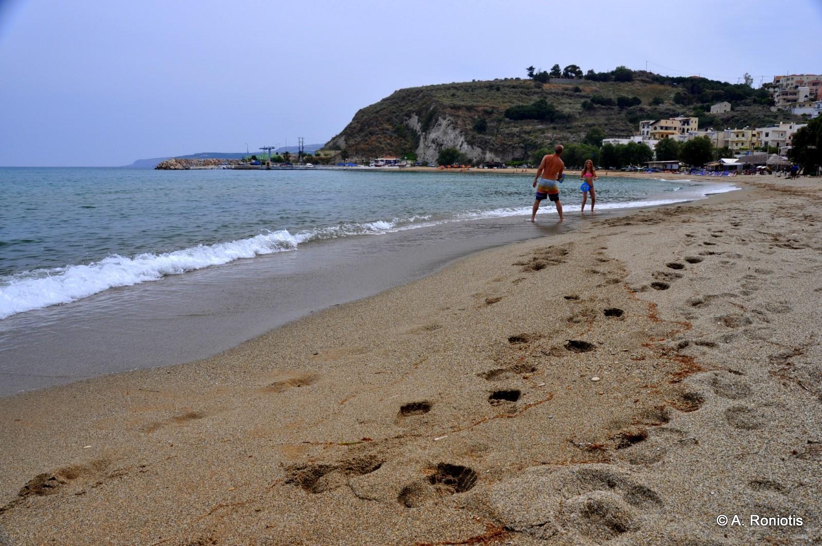
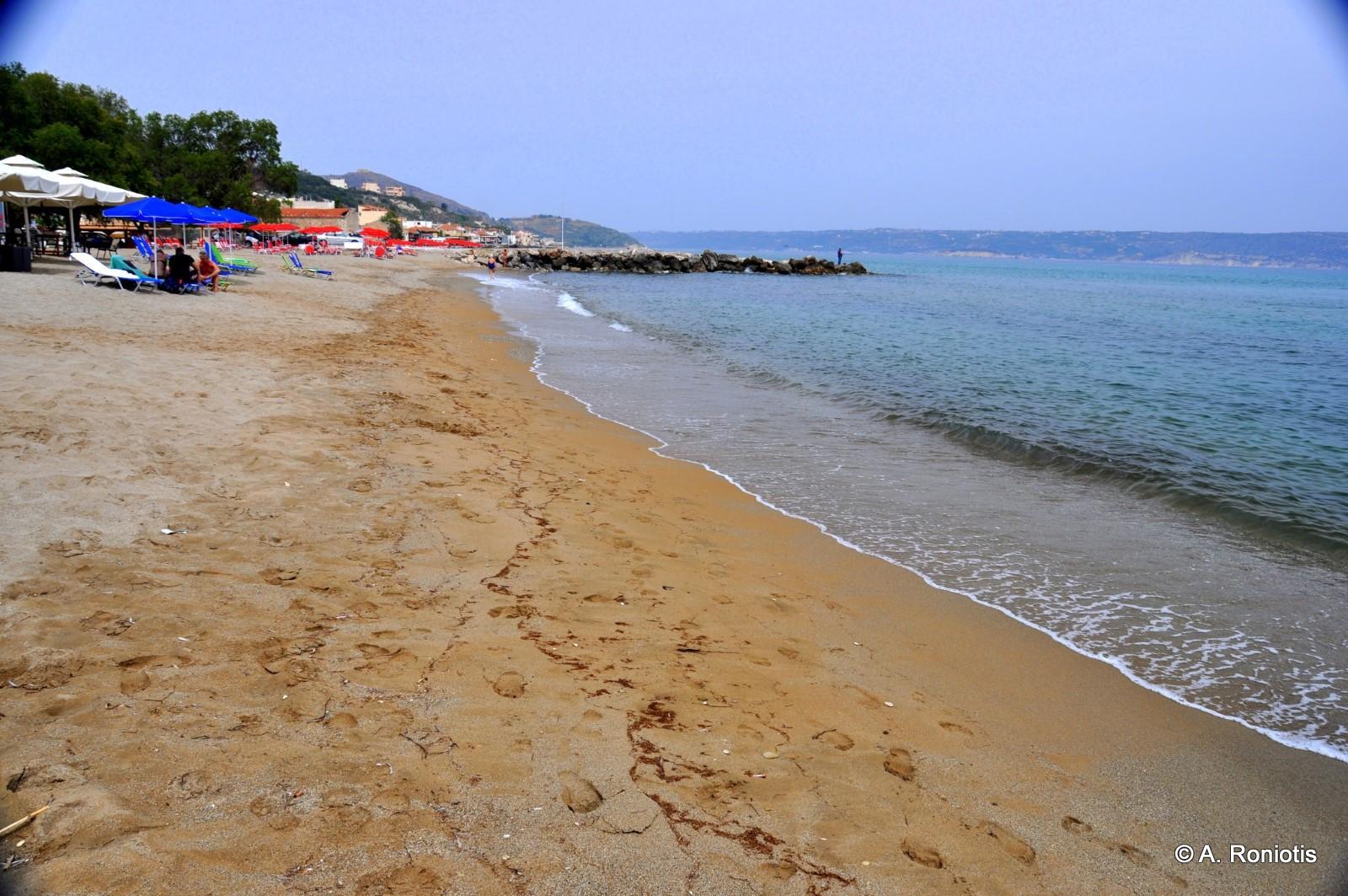
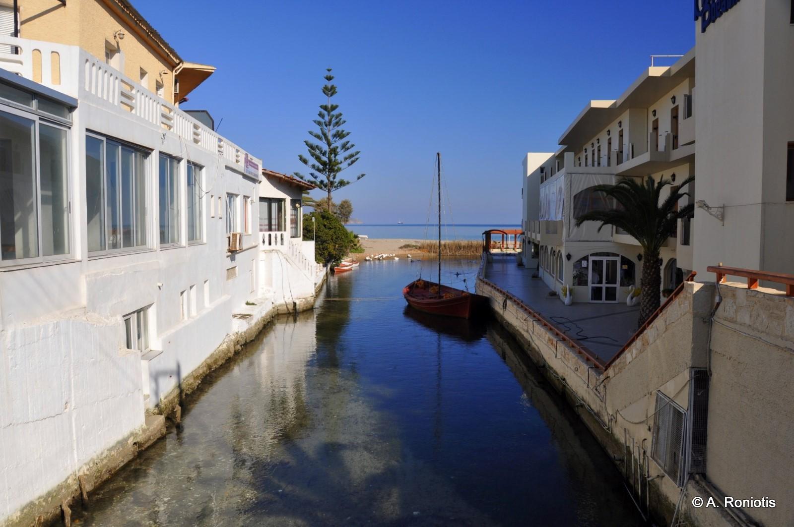
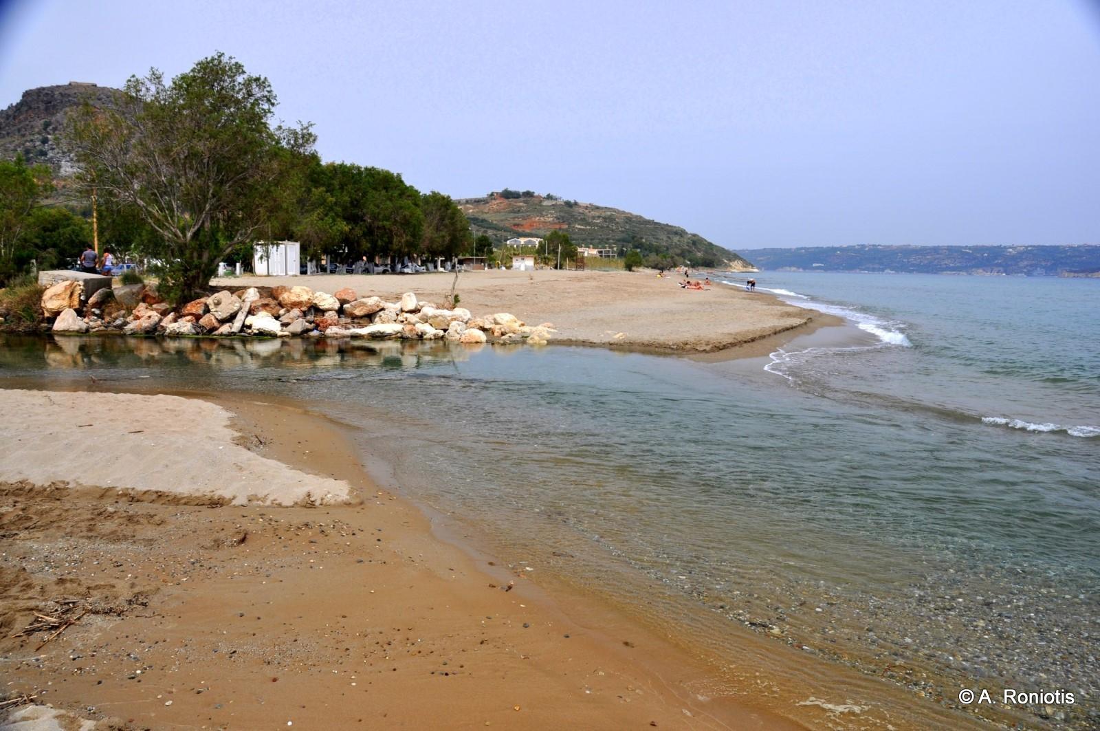
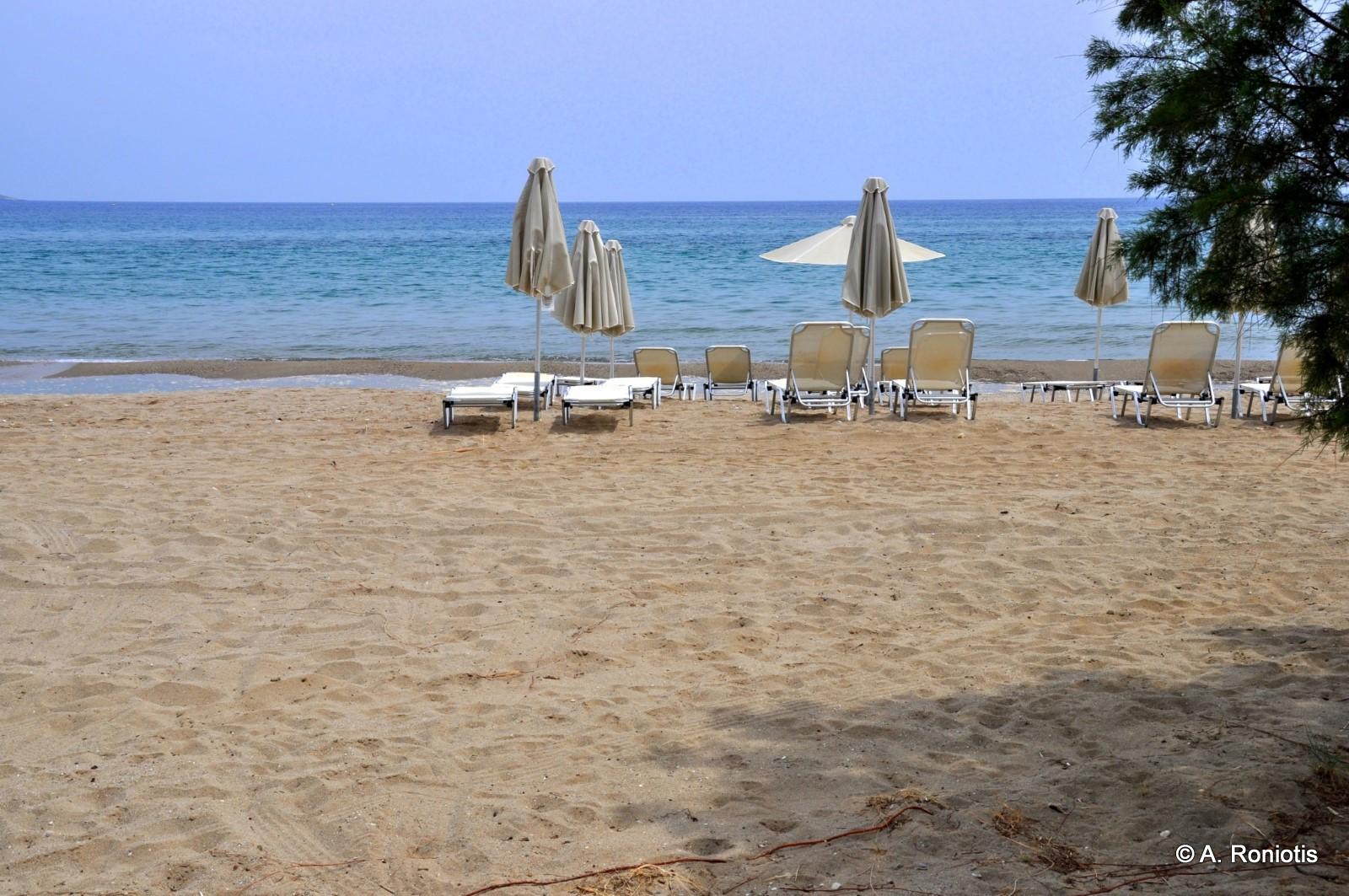
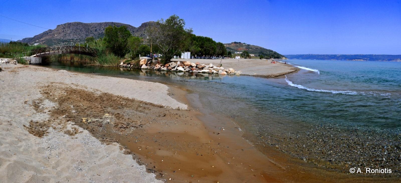
East and west of the river Xidas, two sandy beaches with shallow water are formed, open to north winds. Xidas and Maistrali beaches, as they are called respectively, are very well organized and all common tourist facilities and services are provided there. At the exit of the Xidas River, there is a beautiful small bridge that connects the two beaches. The picturesque harbor of Kalives is located next to Maistrali. Kalives is connected with regular bus services to Chania. In the area, you will find bank, post office, clinic, shops, etc.


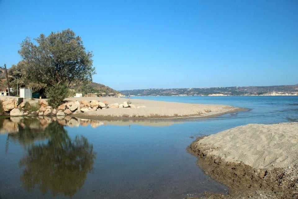
At the exit of the river Kiliaris, 1km north of Kalives, is the tranquil beach of Kiani Akti or Glaros. Kiliaris transfers water from the White Mountains. It is one of the few rivers in Crete that has water all year round. The seawater near the river is quite cold.

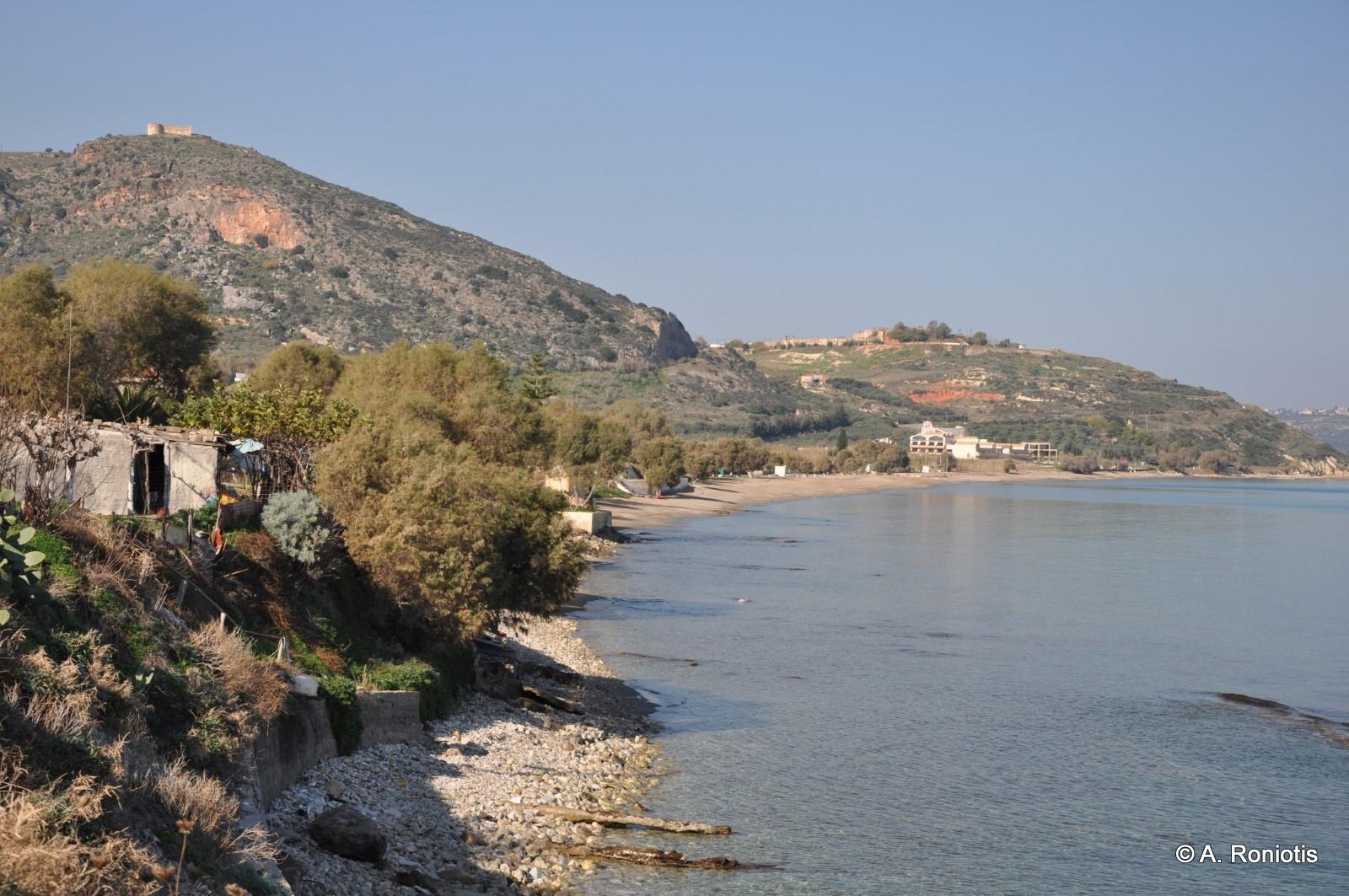
The geographic location of Kalives, combined with its fertile soils, is a reason for the habitation of the area from very ancient times. Kalives is considered to be the site of the ancient city Amfimatrion. In 1206, the fortress Castel Apicorno was built, east of the village, to alienate prospective attackers, while in 1538 Kalives were destroyed by the pirate Barbarossa.
If you have a car, Kalives is very near to the ancient city of Aptera (5km) and the Ottoman forts of Intzedin and Aptera. If you stay in Kalives you can see the remains of the Venetian castle of Apicorno on the Castelli hill. It is an interesting archaeological site with very nice views of the village and the beach. The wider province of Vamos is named Apokoronas after the castle.
At the harbor, you can see the German cannon hidden in a cave dug up to the other side of the mountain. At the end of the tunnel, there is a small window, where the view of the cliffs and the sea is fascinating. This is a very small sample of the German defensive projects that are dispersed in the wider area of provinces Apokoronas and Akrotiri Cape.
Furthermore, you should walk in the beautiful narrow scenic streets of the village and end up in the central square of the village with the large plane tree, near the church of Agia Paraskevi. The church bears frescoes and was built during the German Occupation (2nd World War).
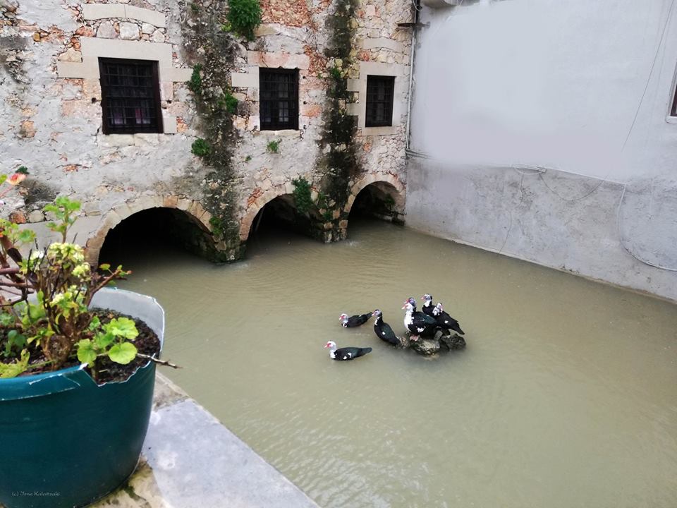
In Mesopotamos River we meet an old Venetian mill, which was one of the most complicated mills of Crete. It is built of stone and kourasani (mortar and ground tile mix), which is famous for its resistance.


