")


 Santorinios Gorge

A few minutes away from the city of Heraklion, close to Agios Panteleimonas Monastery by Fodele, there is the canyon of Santorinios transfering water from the village Marathos and the west slopes of Platani to the river Fodelianos. The canyon is short but has not been exploited yet due to its quite difficult access, because of the dense vegetation and many ponds. Walking in the riverbed, by getting wet, will make its crossing easier, but requires you have a second pair of dry shoes with you. The name of the gorge comes from the fact that the soil is reminiscent of the soil of Santorini island, that was formely used for building houses in Crete.
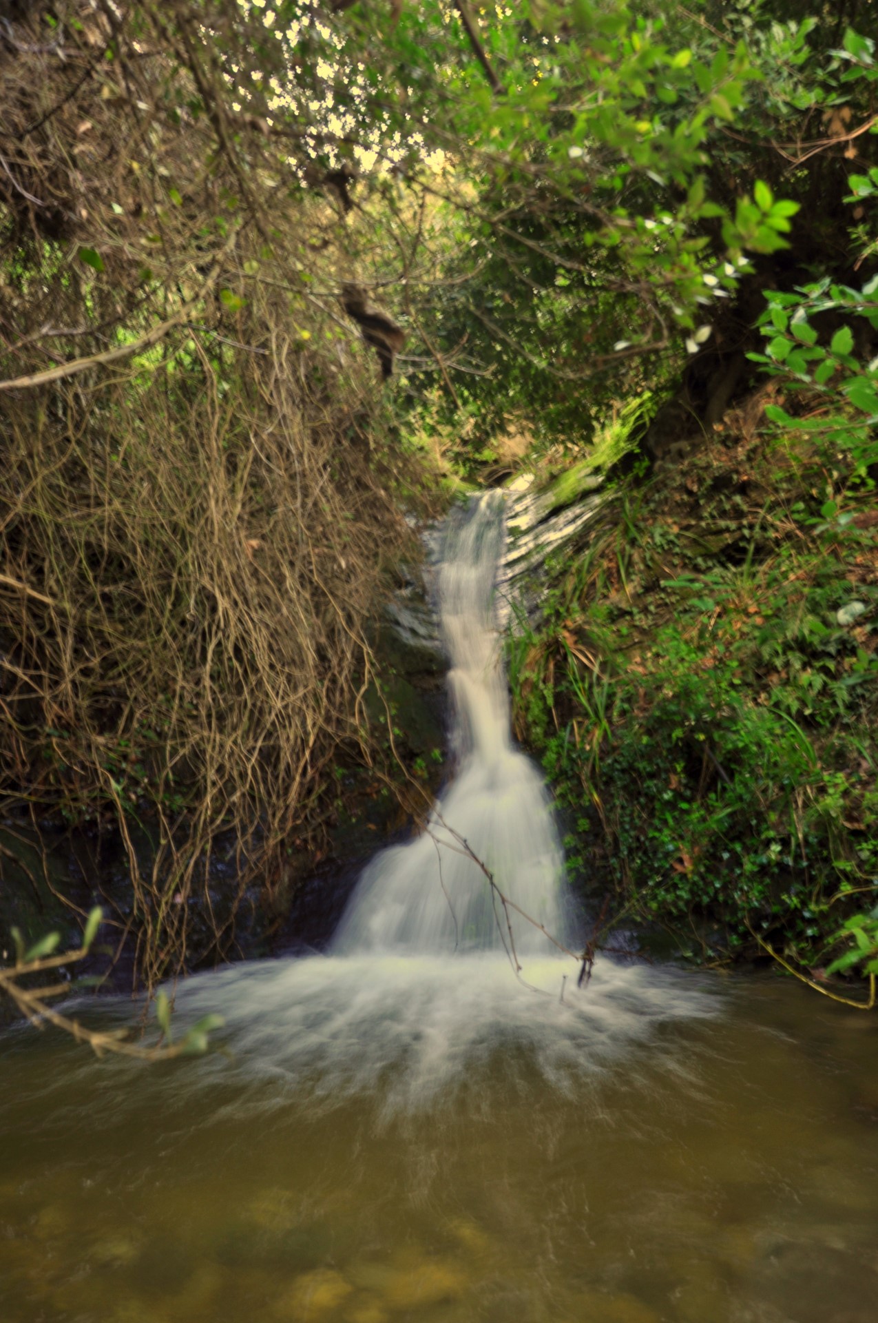
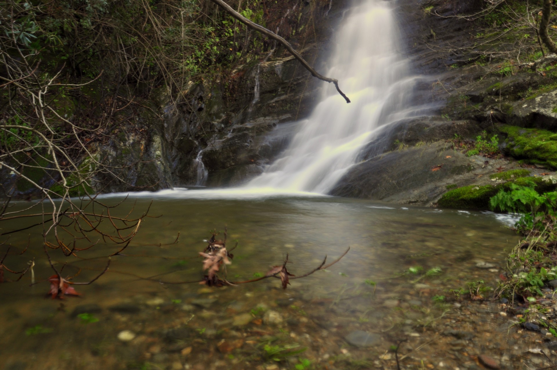
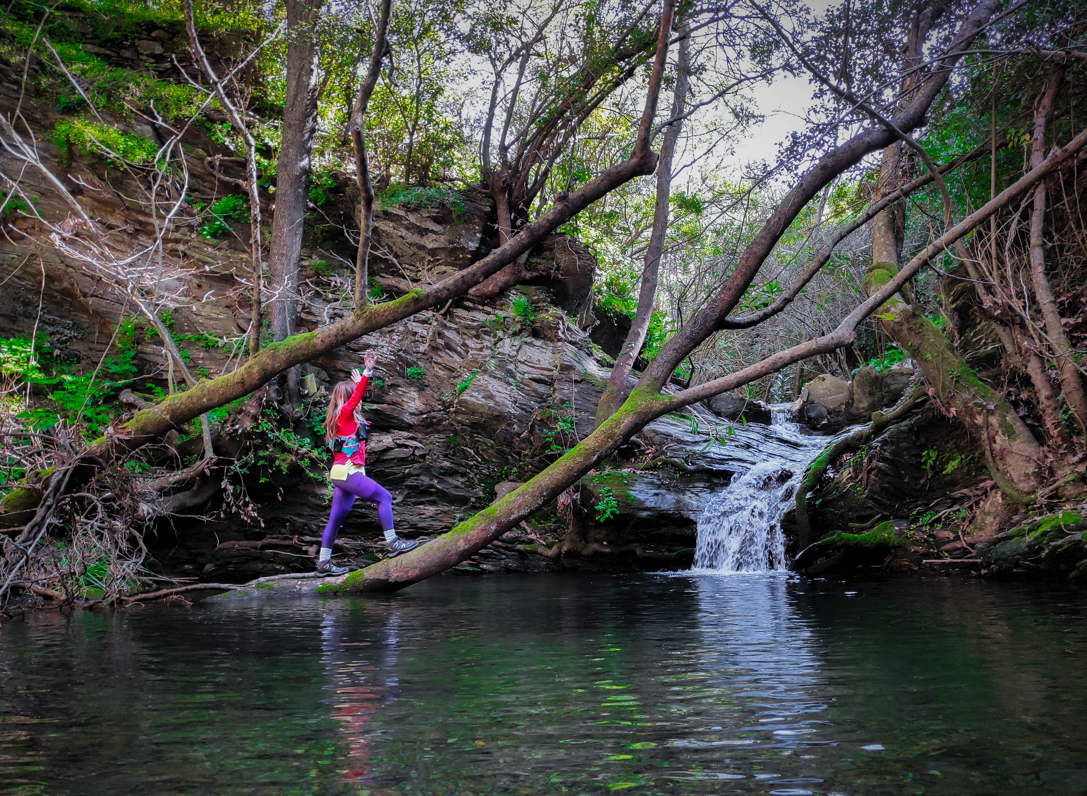
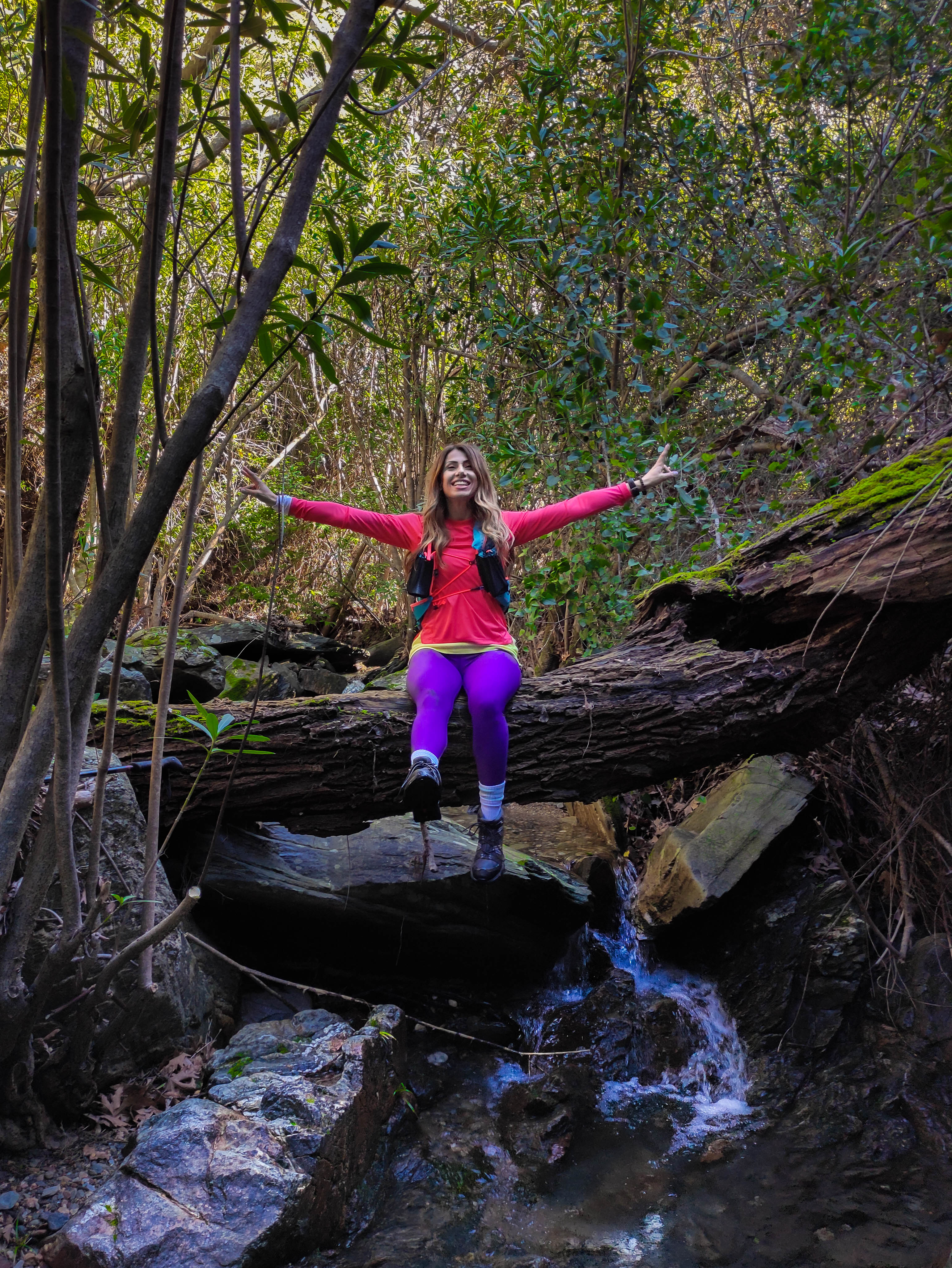
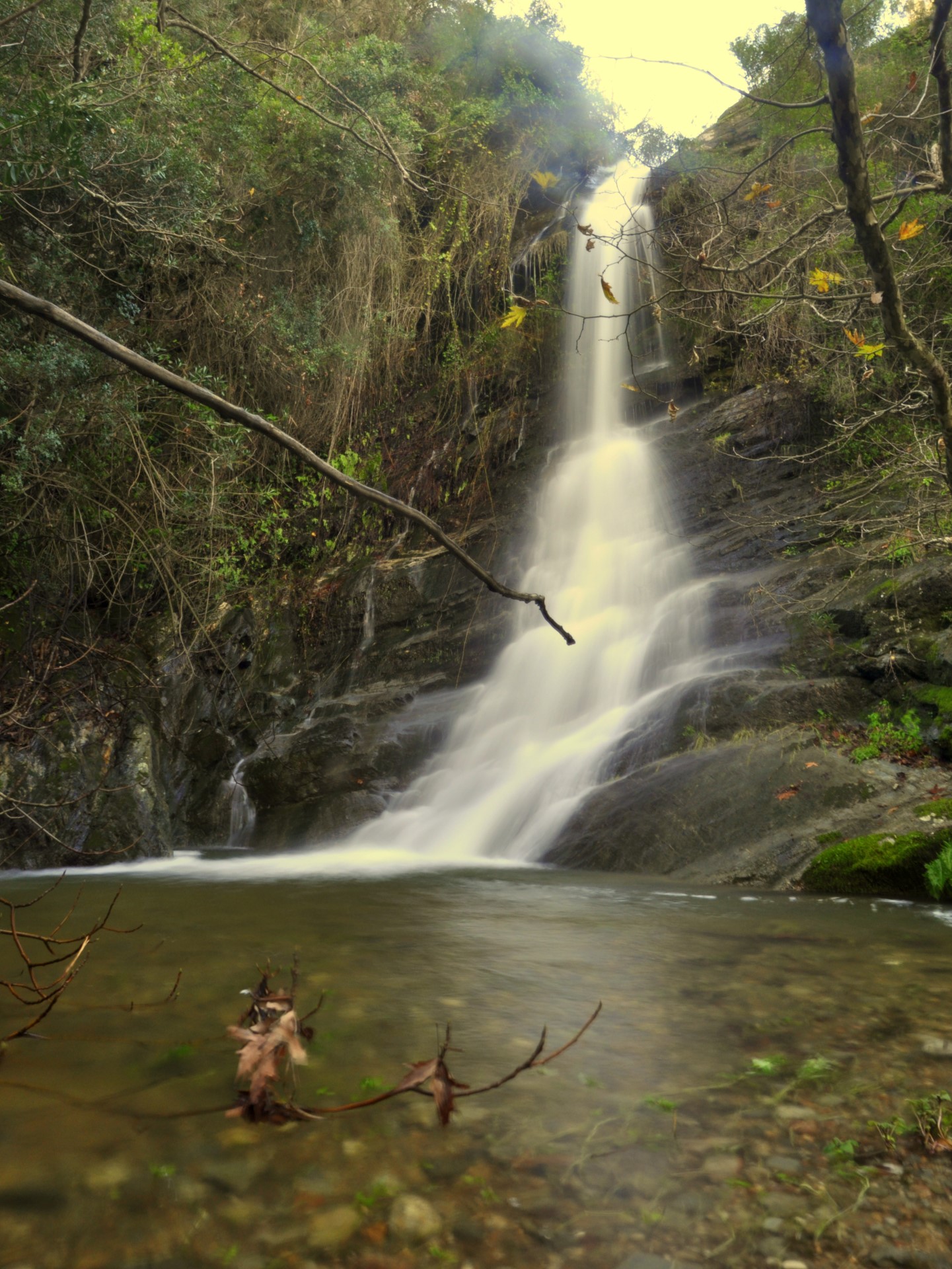
In our first steps in the gorge we meet the remains of a two-room watermill. The walls still stand proudly with the help of an ivy branch knitted into them. After a while we come across the first pond, Azilakokolymbos, which looks like the end of the path. However, there are more to see if you manage to overcome the lake, either by swimming in this or climb on the rocks on both sides. If you overcome this difficulty, we proceed without any problem until we reach the first high waterfall, which forms a beautiful pond at its base.
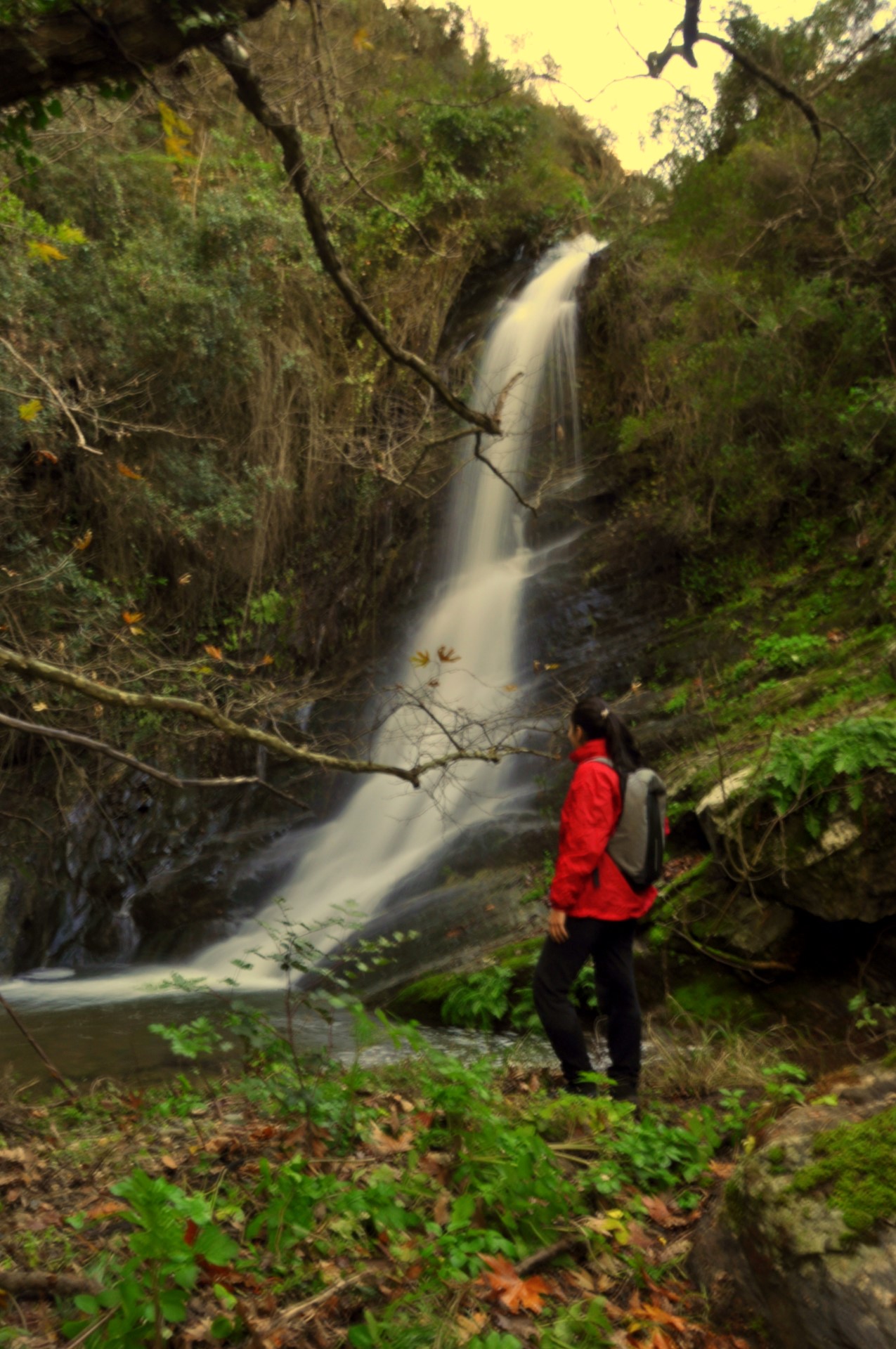
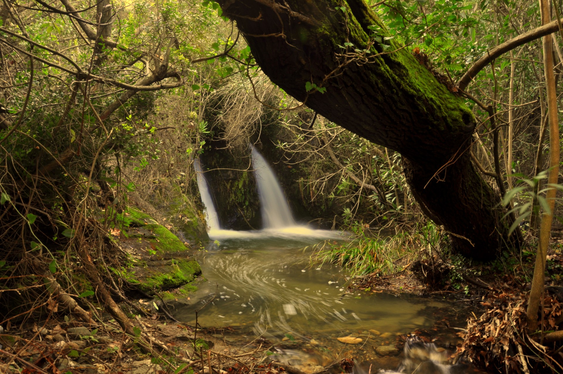
From here things get even more difficult. In order to proceed, we have to climb from the right part of the waterfall for about 15 meters and get to the top of the hill. From there, in order to get to the edge of the waterfall we will have to use a rope because the part is steep and slippery. Continuing up the canyon, we meet two twin impressive waterfalls. The pond in front of them is named Anastasis’s pond after a man called Anastasis Vlatas who was drowned here.