")


 Psoraris Gorge

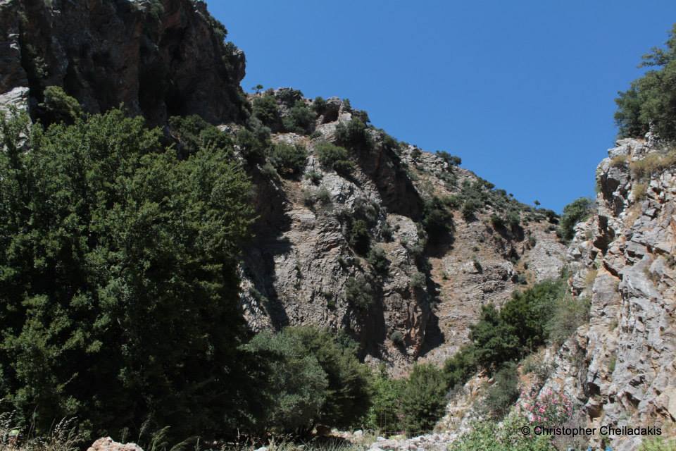
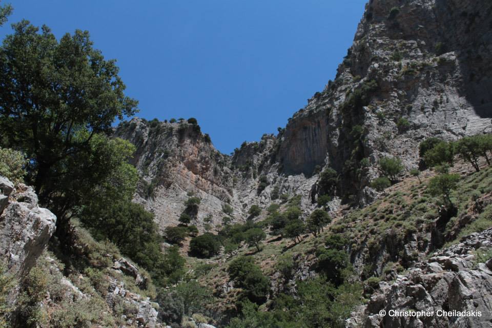
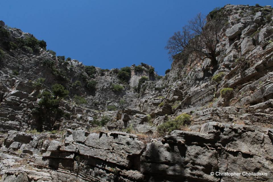
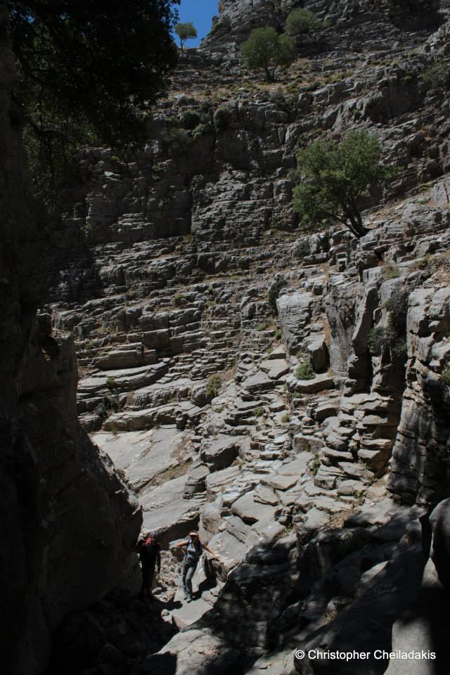
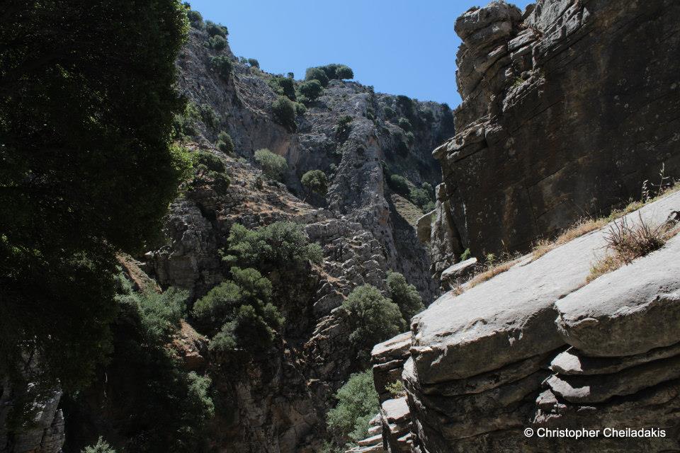
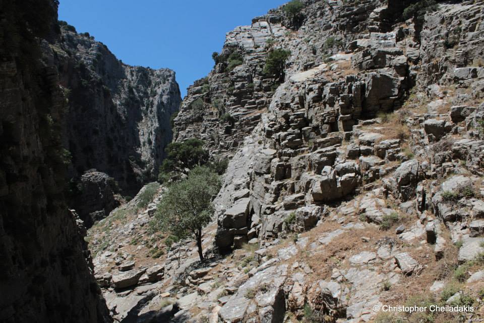
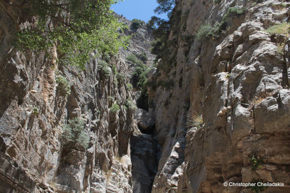
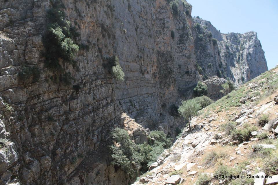
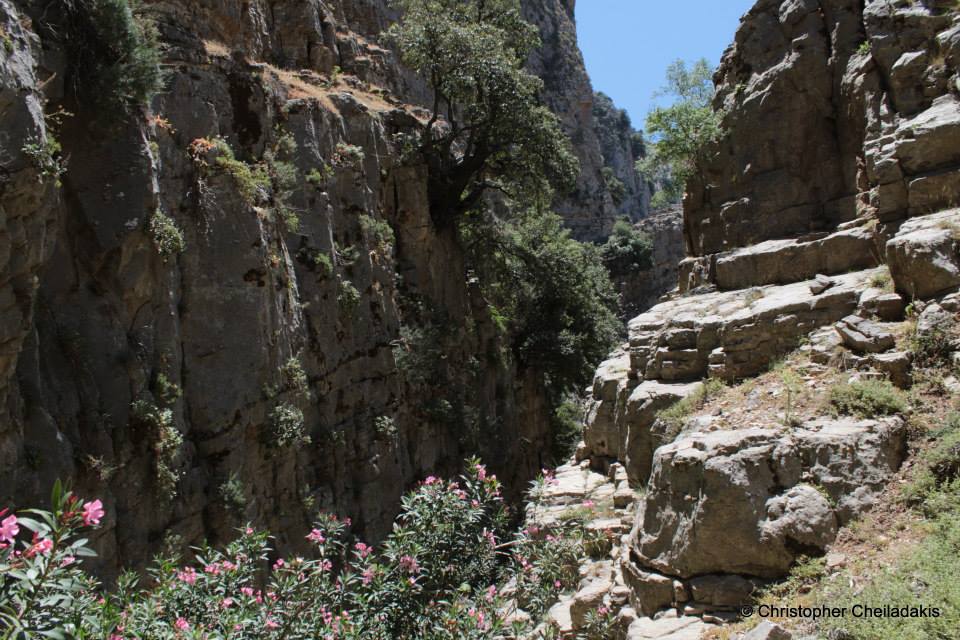
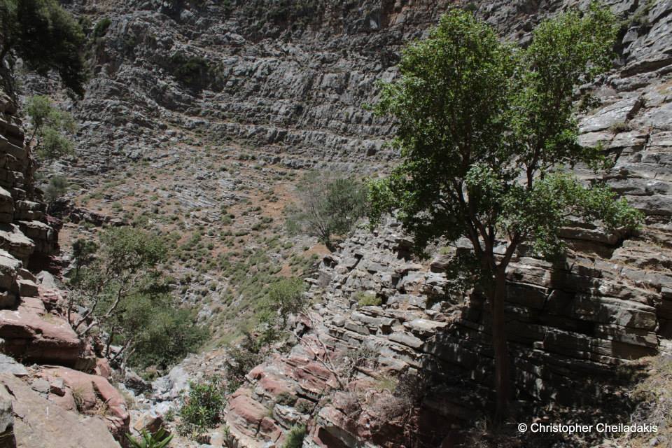
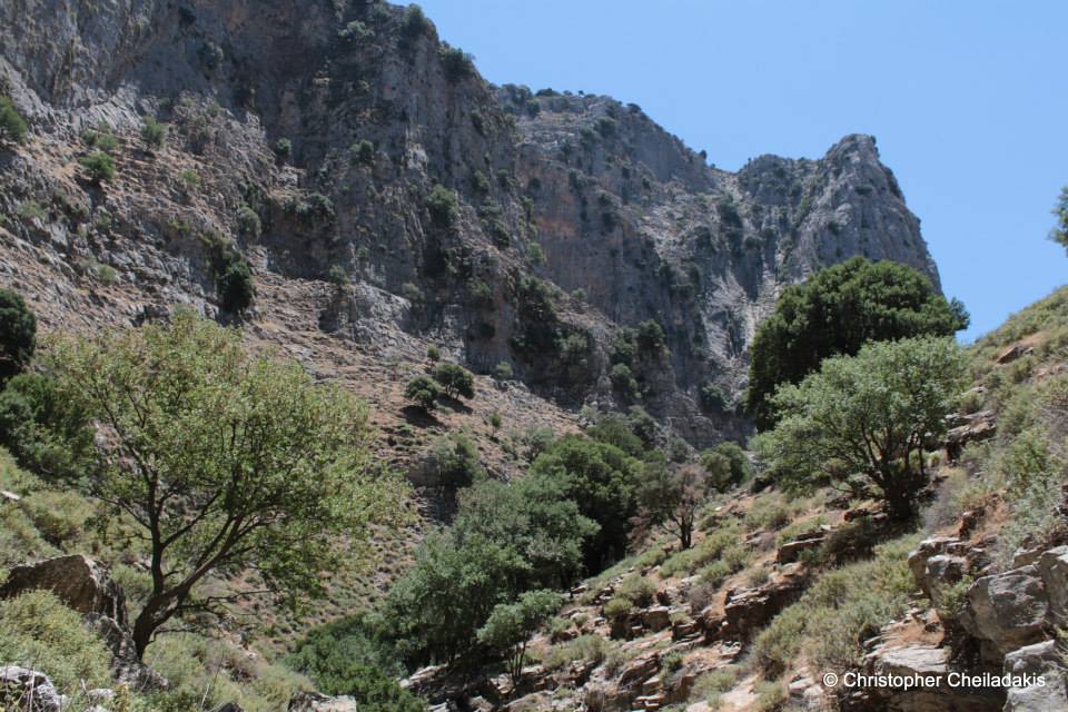
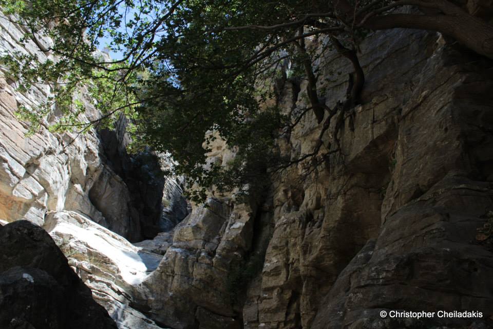
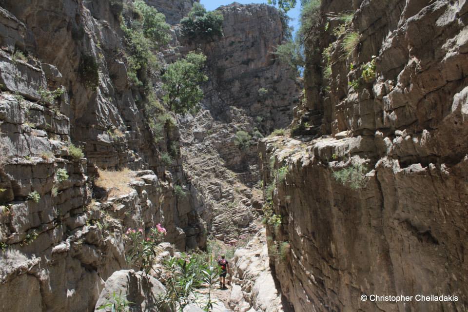
One of the most impressive and longest canyons of the entire island of Crete is the canyon with the name Psoraris (Greek: someone who suffers from scabies). Its exit is located at the mountains of Dikti, above the village Xeniakos and it starts from the plateau Parasyrta. There are three different mountain roads to Parasyrta, all of unique beauty: from Lassithi plateau (village Kaminaki), from Geraki at province Pediada, and Katofygi at province Viannos. The water that is collected fin Parasysrta from the melting snow for millions of years has eroded the limestone and has formed a spectacular gorge. Psoraris exits in the plain of Embaros and after passing west of the village Xeniakos, it merges with the stream of Erganitis or Kourkouzanis, forming the tributary of Anapodaris, Baritis.
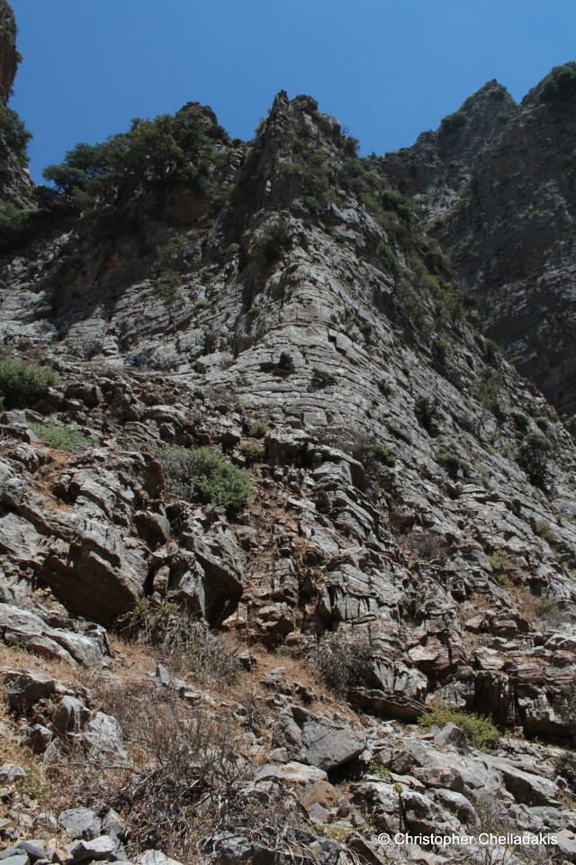
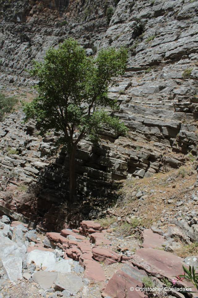
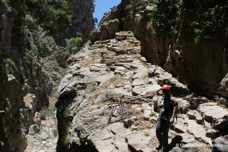
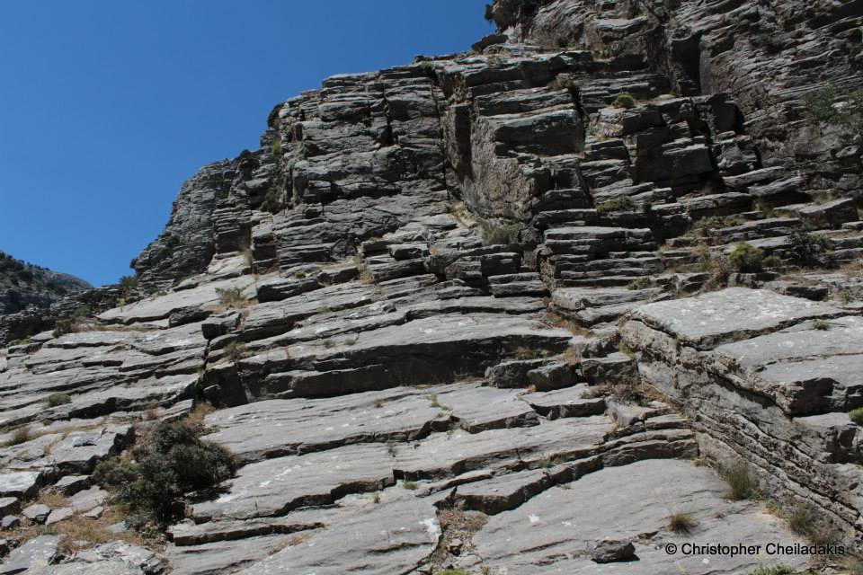
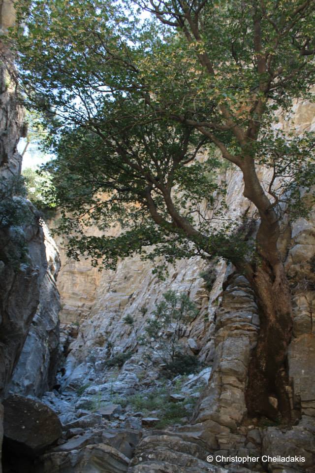
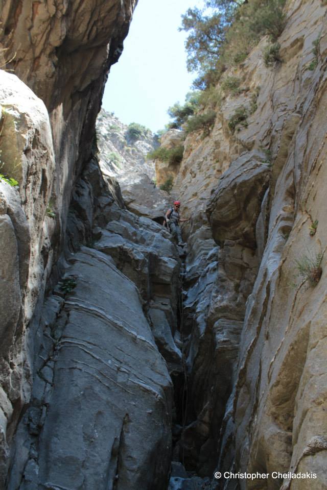
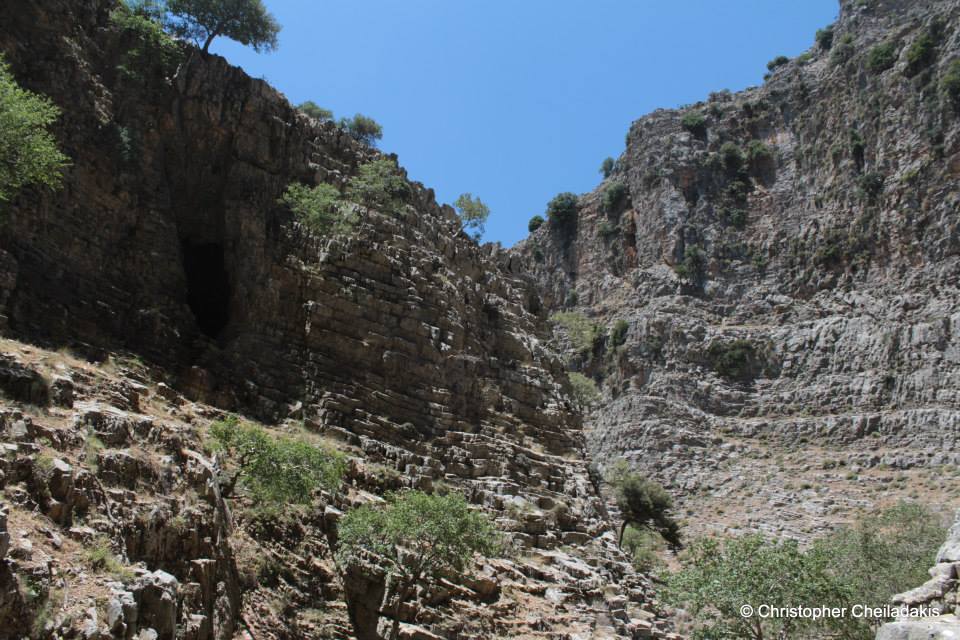
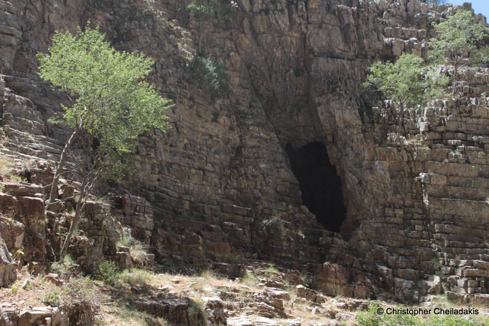
The walls of the canyon consist of vertical cliffs up to 400 meters high. Inside there is a forest of oaks and maples, while its last part has plane trees. Inside the gorge of Psoraris there is an unknown cavern that is called Xepatomeni by the locals and is associated with the local history and legends of the area. The folds of the limestone are among the most impressive in Crete, while in its middle part they are purple. Despite being such a spectacular place, it remains completely unknown to all. The main reason is that it remains well hidden and away from the tourist routes. Crossing the gorge is only possible with canyoning equipment for six rappels, not very difficult, and then follows some walking on smooth riverbed. We overall need four hours to cross Psoraris at any time of the year.