")


 Platys River

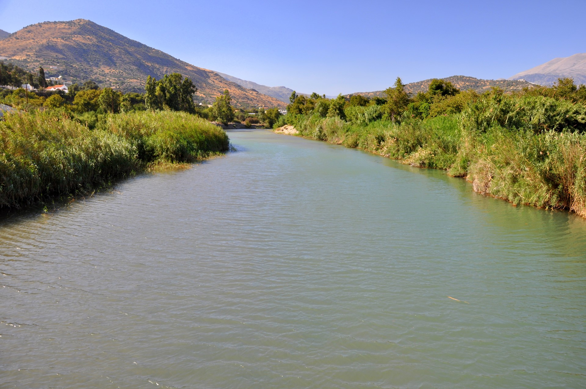
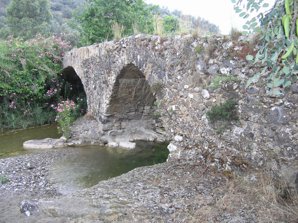
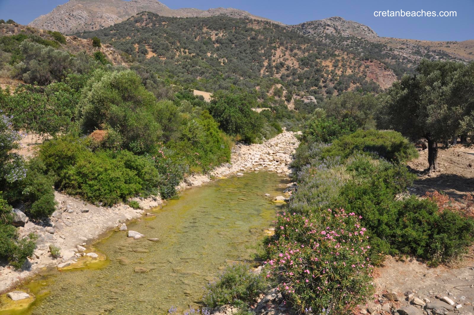
Platys River (i.e. wide river) or Amarianos is one of the longest rivers in Crete fed by the waters of the northeast Kedros Mount and the valley of Amari. Its exit is located in Agia Galini beach, South Rethymnon. The river Platis is one of the rivers of Crete with lot of water and dense vegetation. Indeed, along the banks there are several stone bridges with arches built by the inhabitants of the area to cross the river.
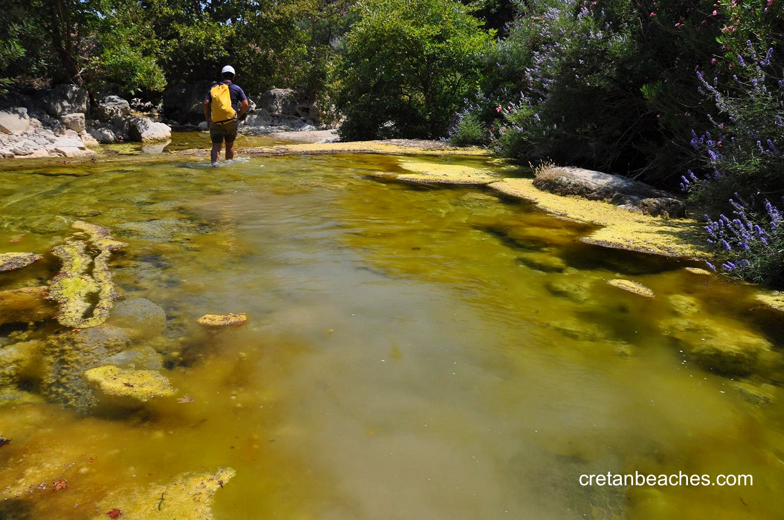
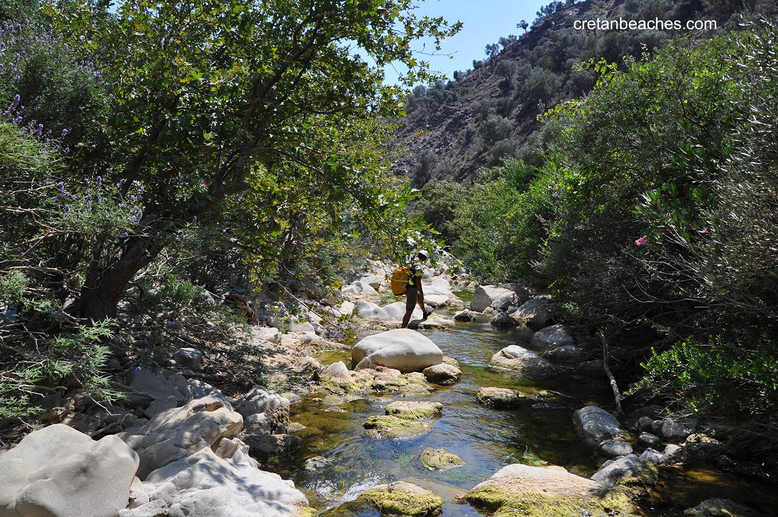
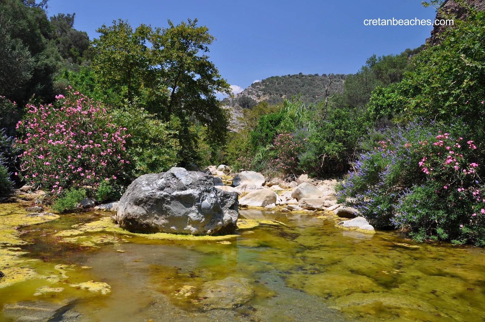
Initially, the river gets watered by Amari valley and merges near Petrohori with its main tributary Ligiotis flowing in the Gorge Smiliano and starting near Gerakari, just north of Kedros peak. Near the village Chordaki there is the beautiful arched bridge of Manouras. A bit later the river turns to a deep narrow gorge called Mesa Faragi and becomes quite dangerous. Huge rocks block the course and one should dive beneath the water to cross these points. Later the canyon reopens, forming several ponds and small waterfalls surrounded by huge plane trees. There are some more arched bridges on the way, under which one can swim.
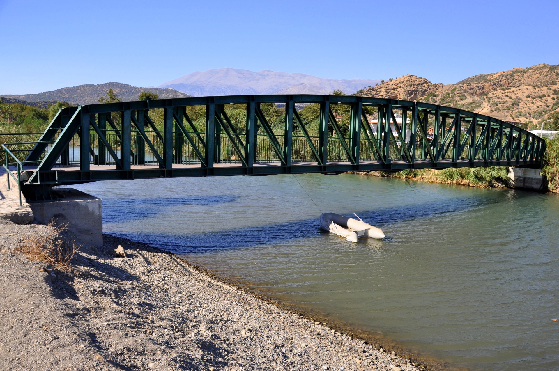
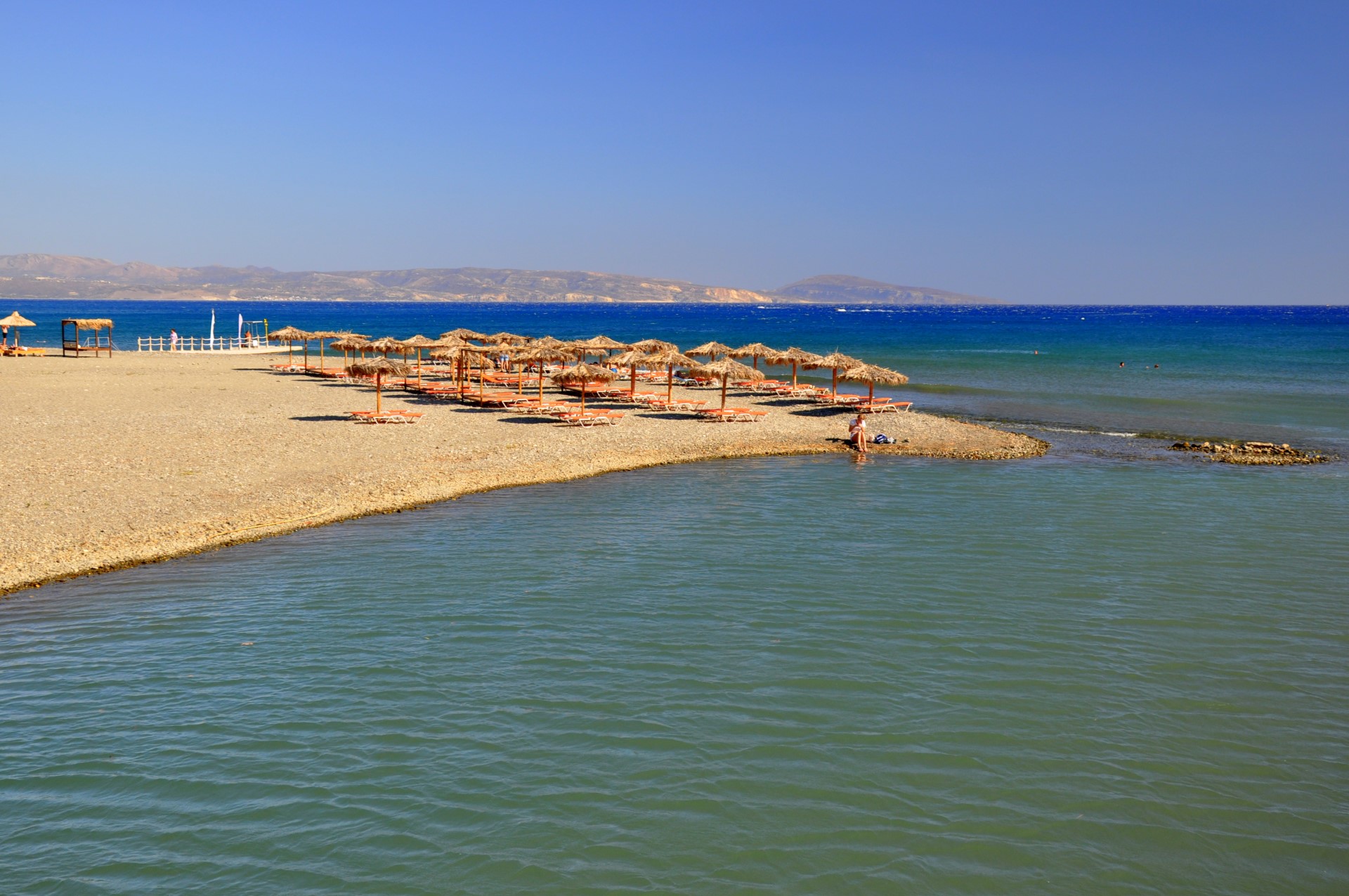
The river continues its course to the beach of Agia Galini. At the mouth of the river, archaeologists have identified some remains of an ancient temple dedicated to godess Artemis (Diana). At its exit, a small wetland is formed with a small pedestrian bridge linking its banks.