")


 Orino Gorge
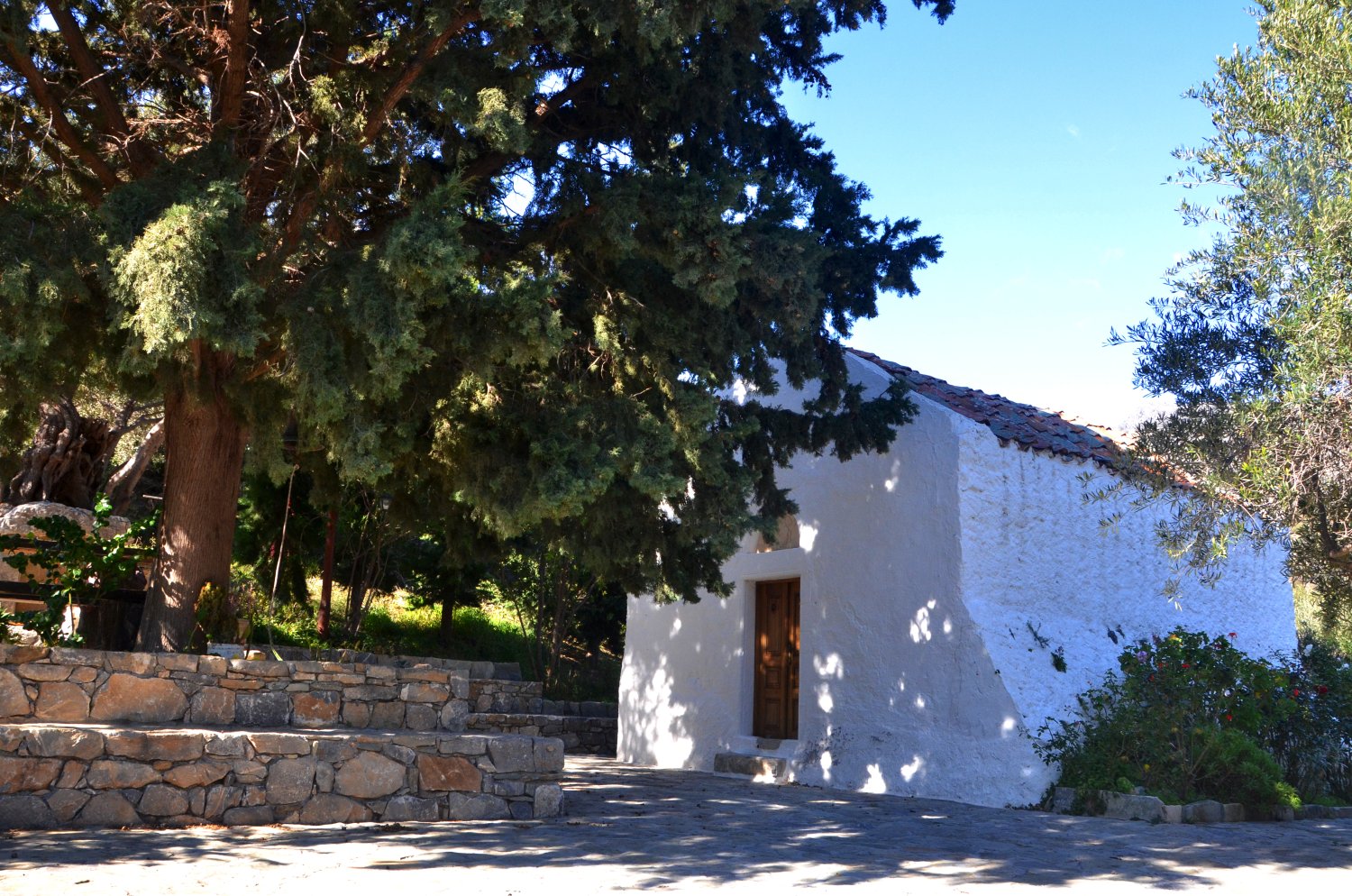

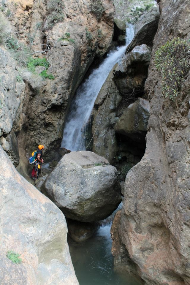
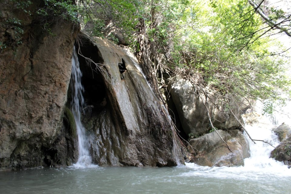
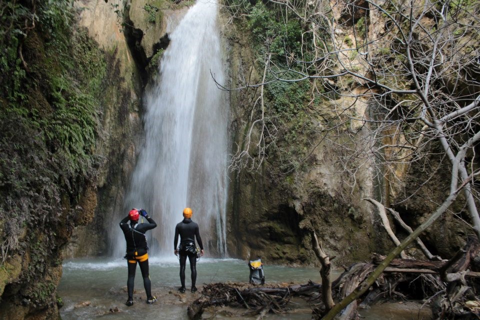
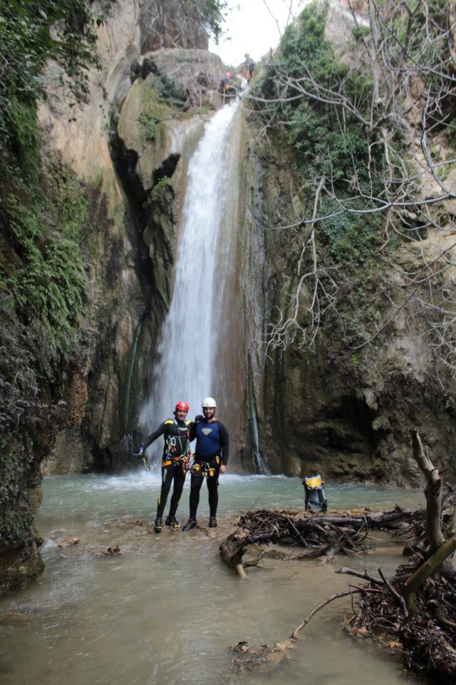
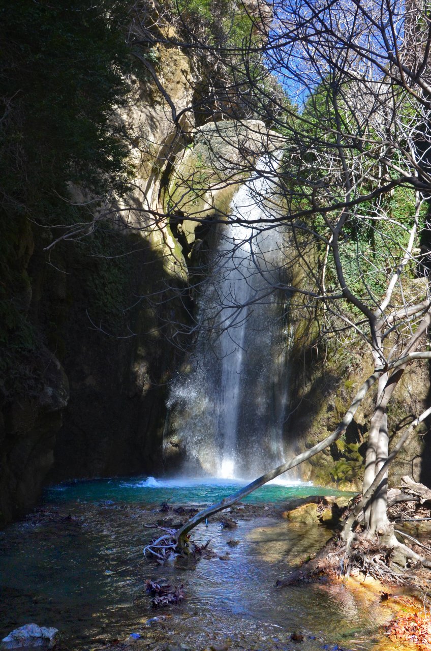
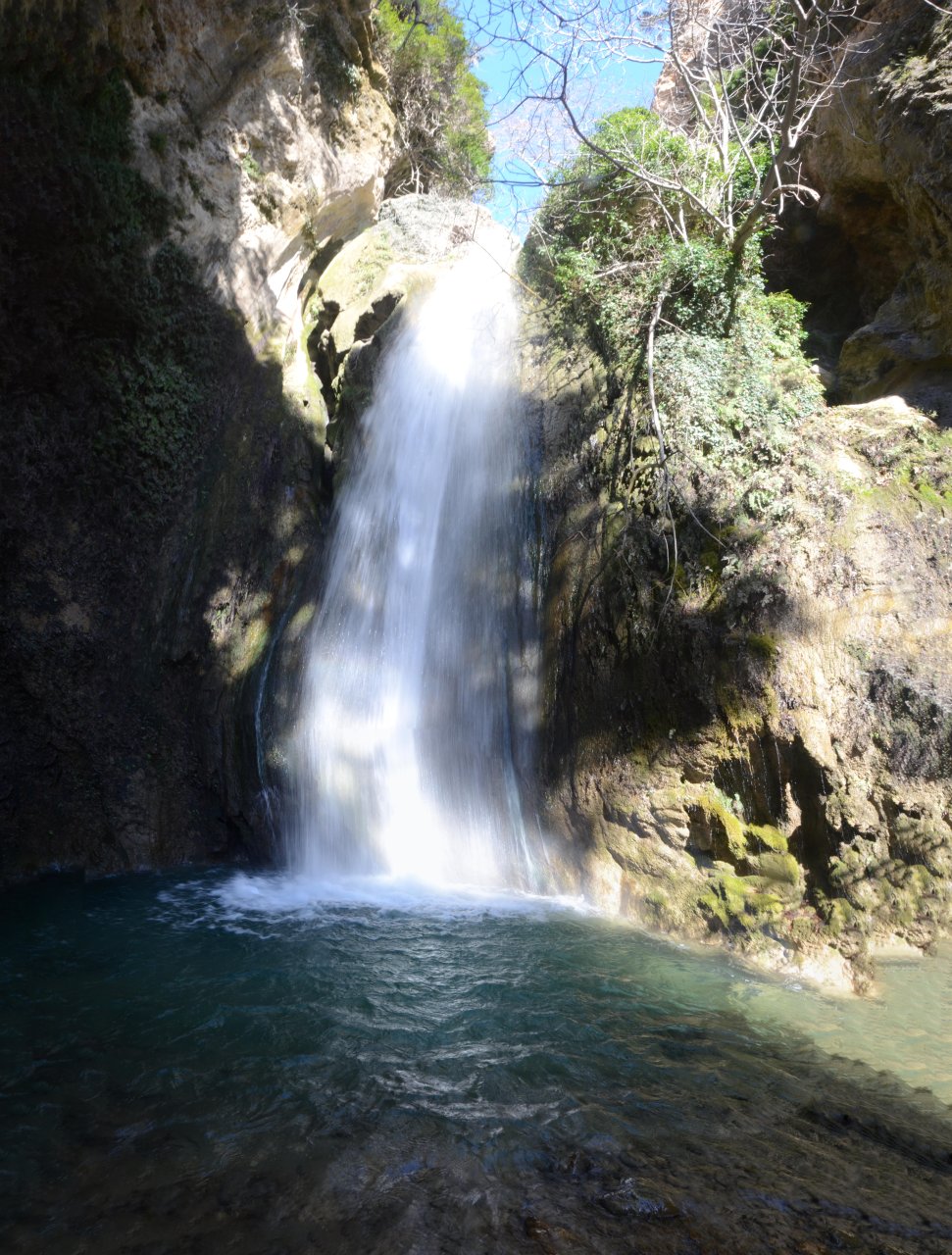
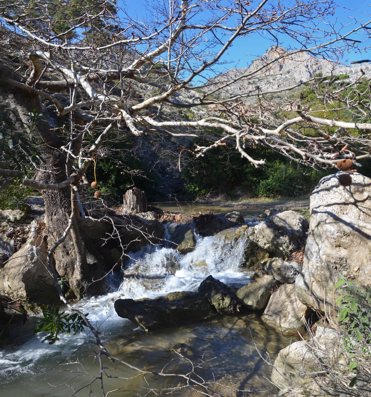
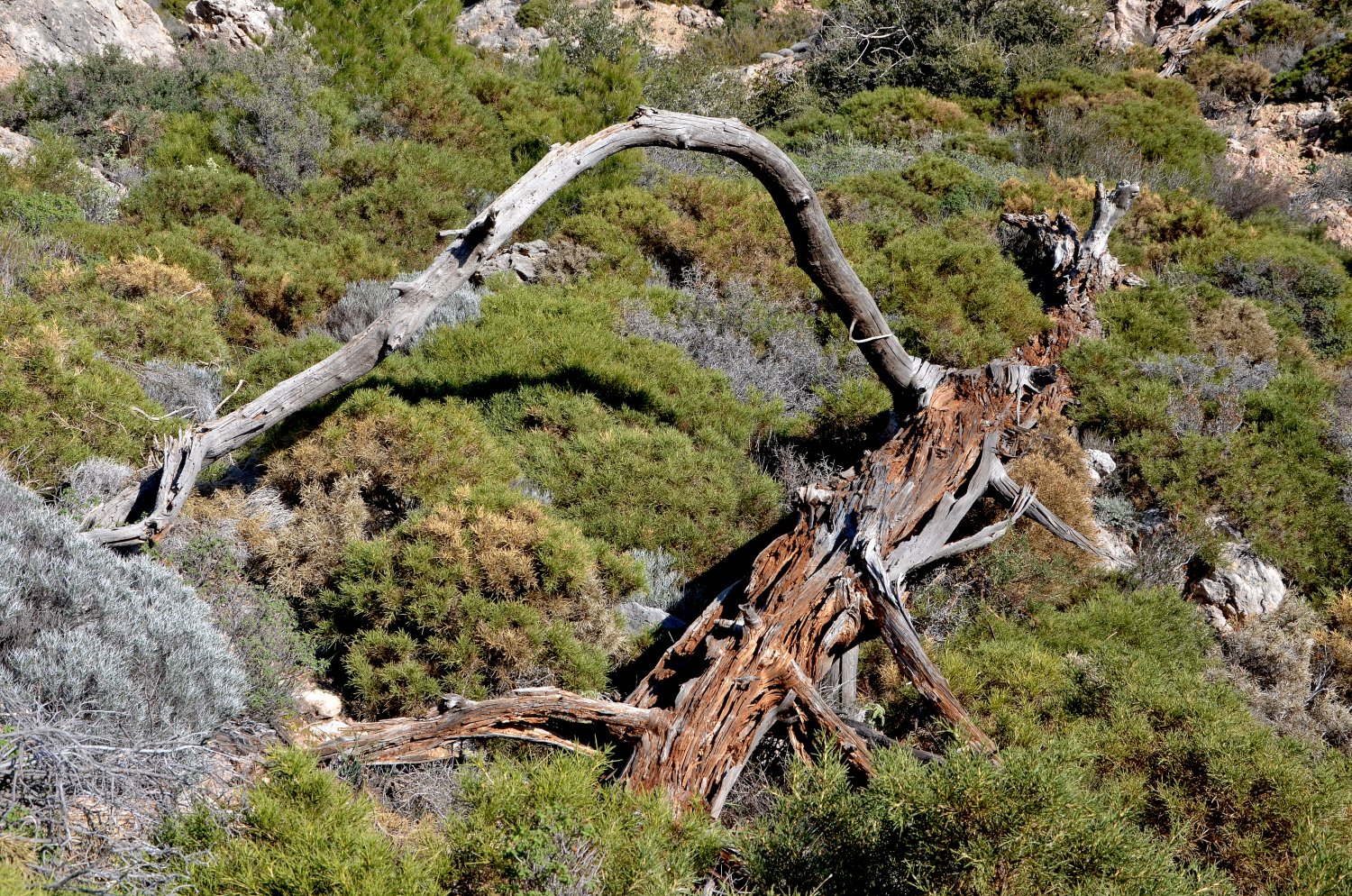
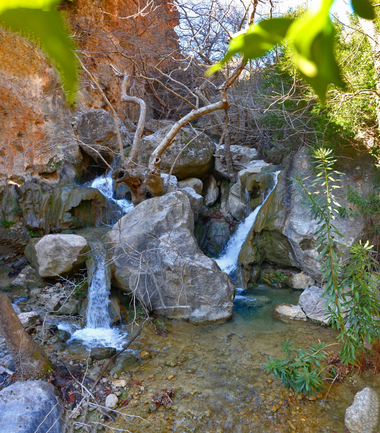
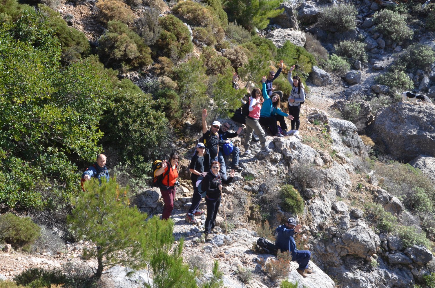
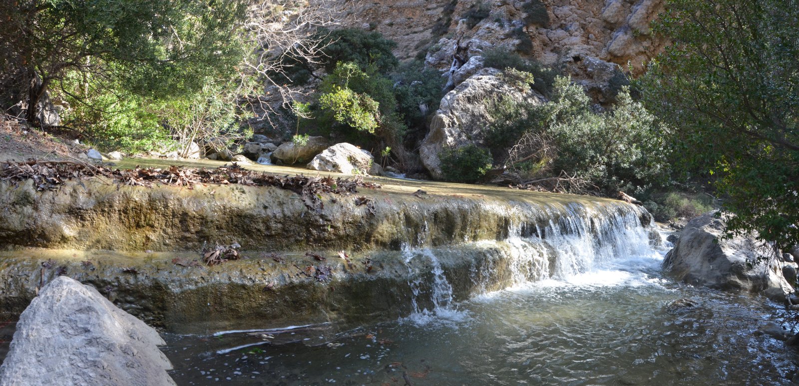
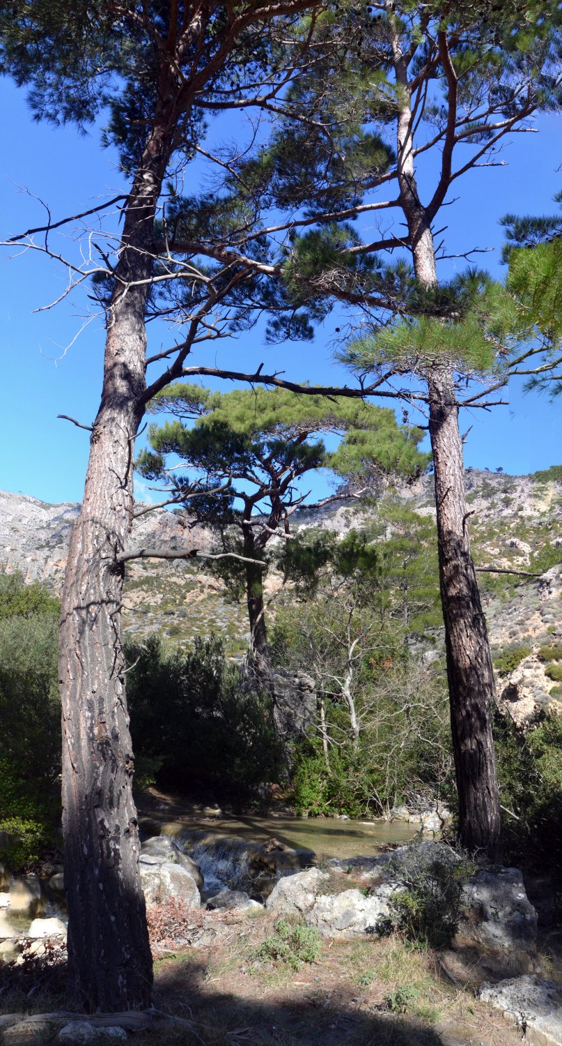
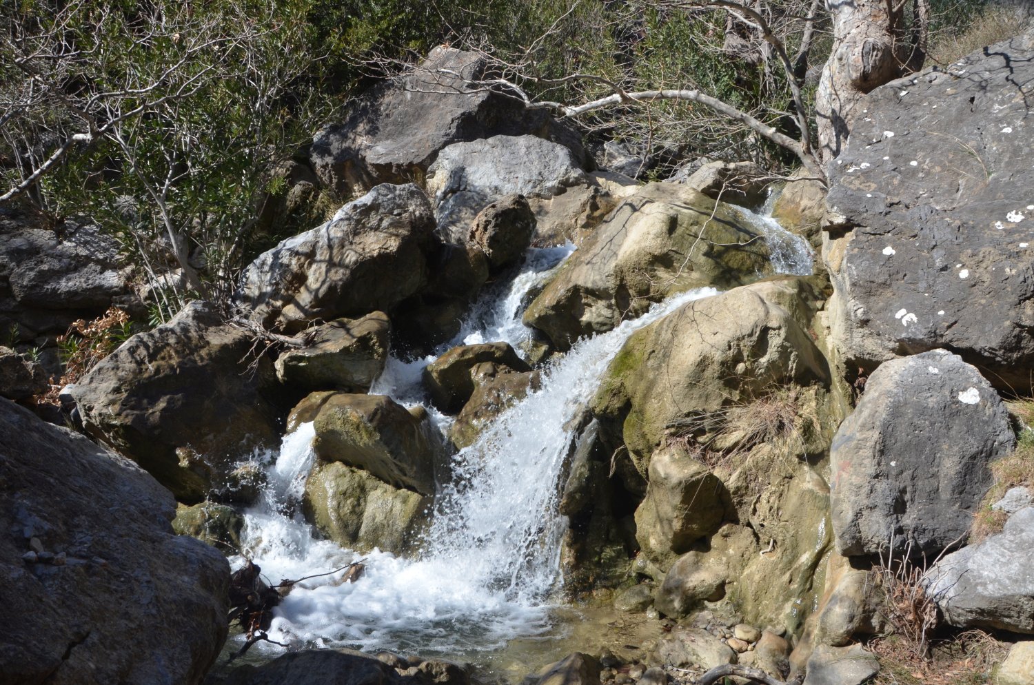
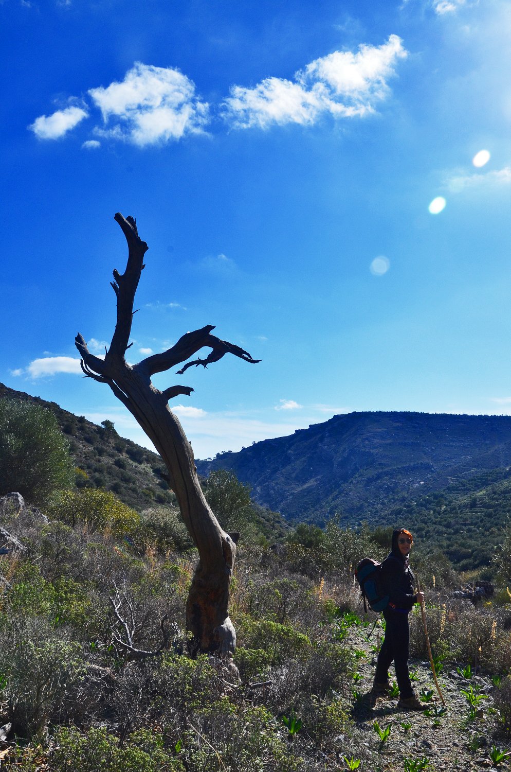
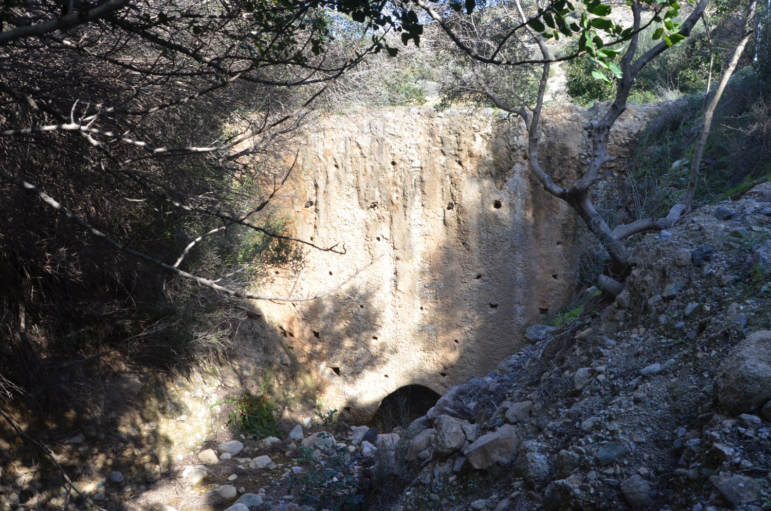
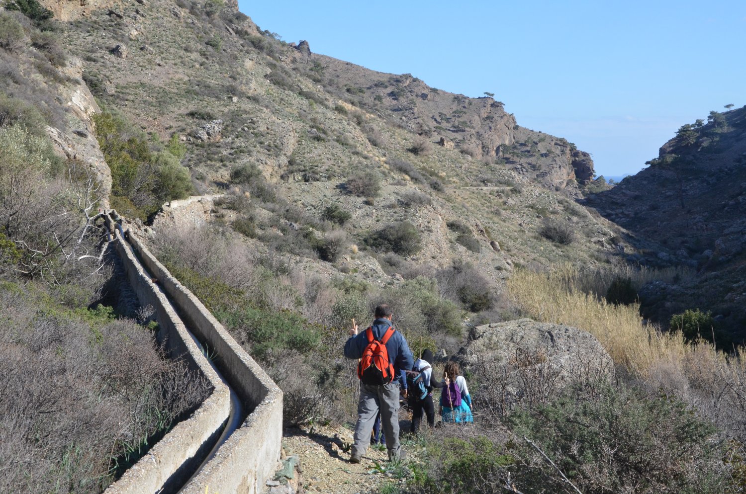
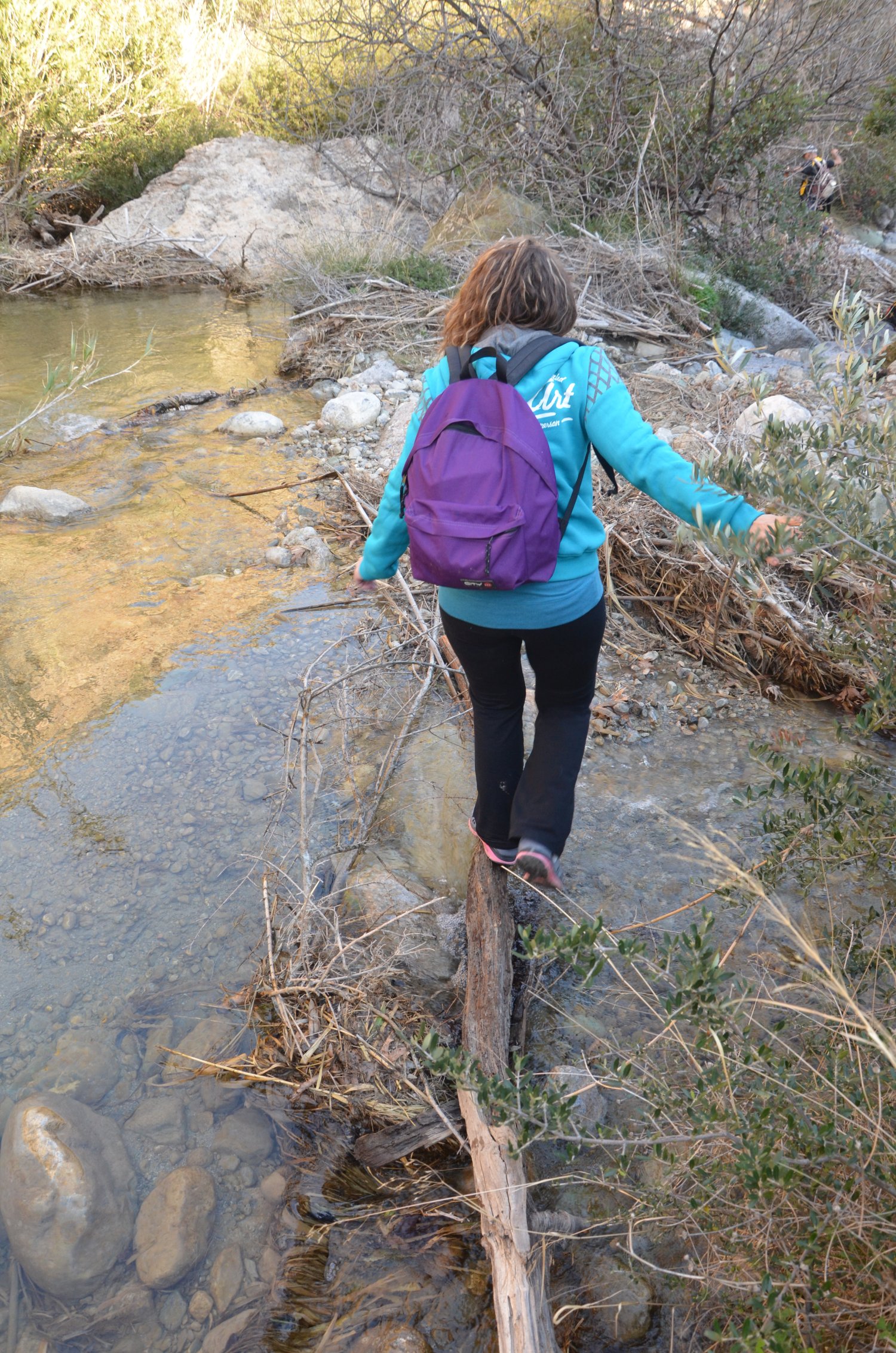
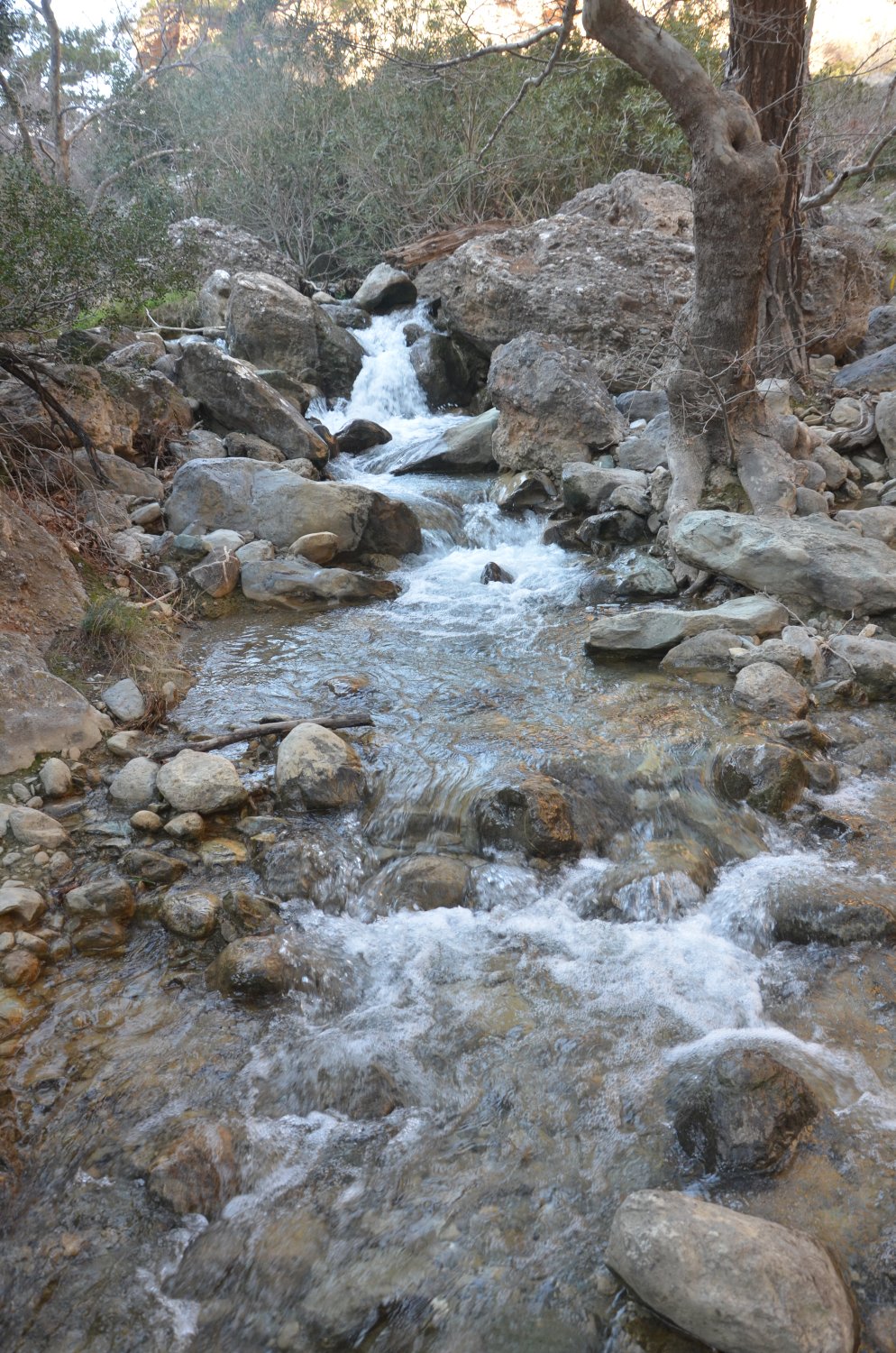
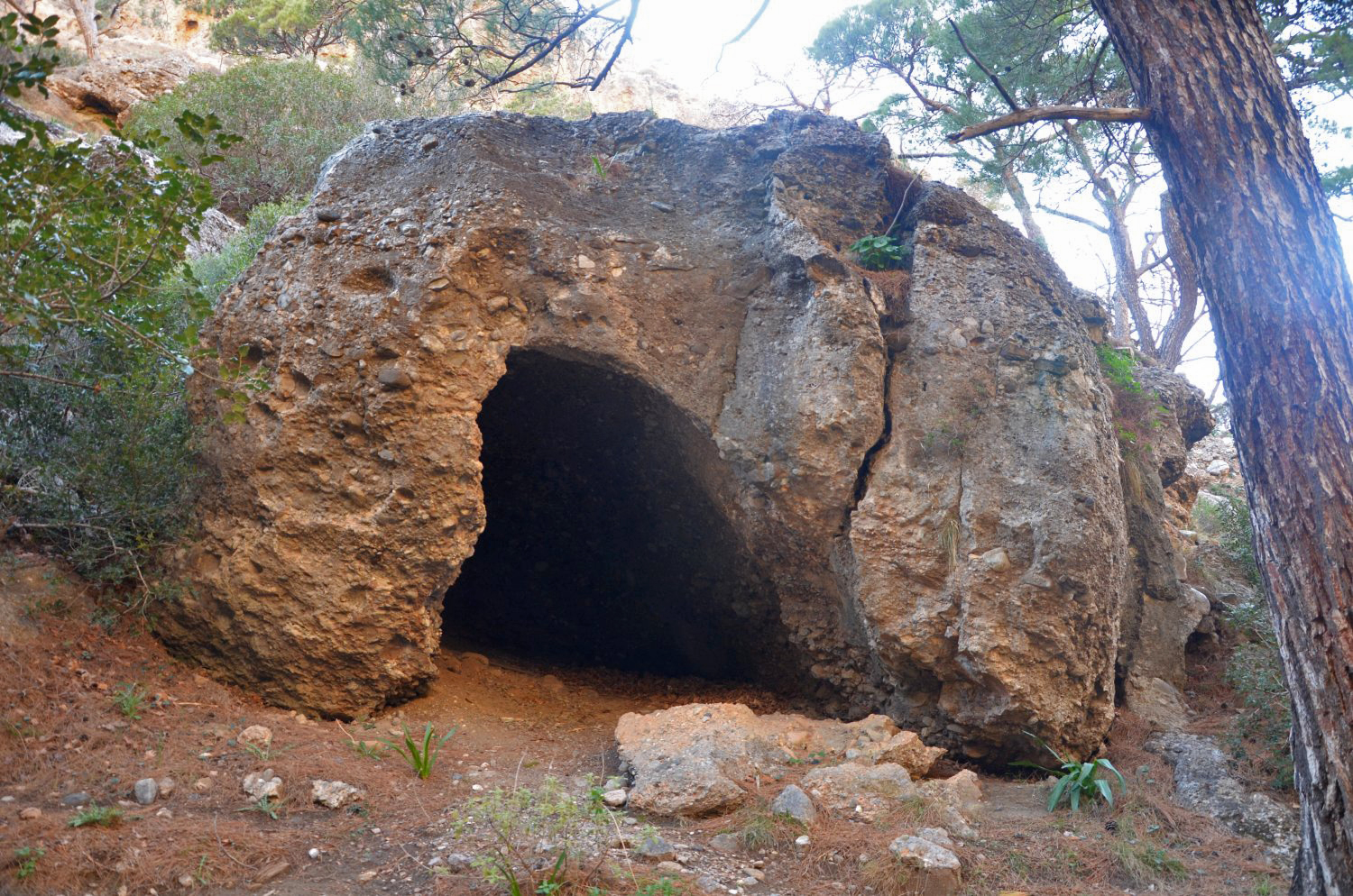
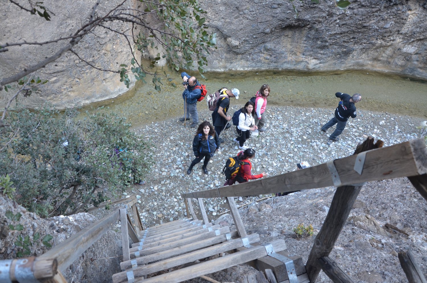
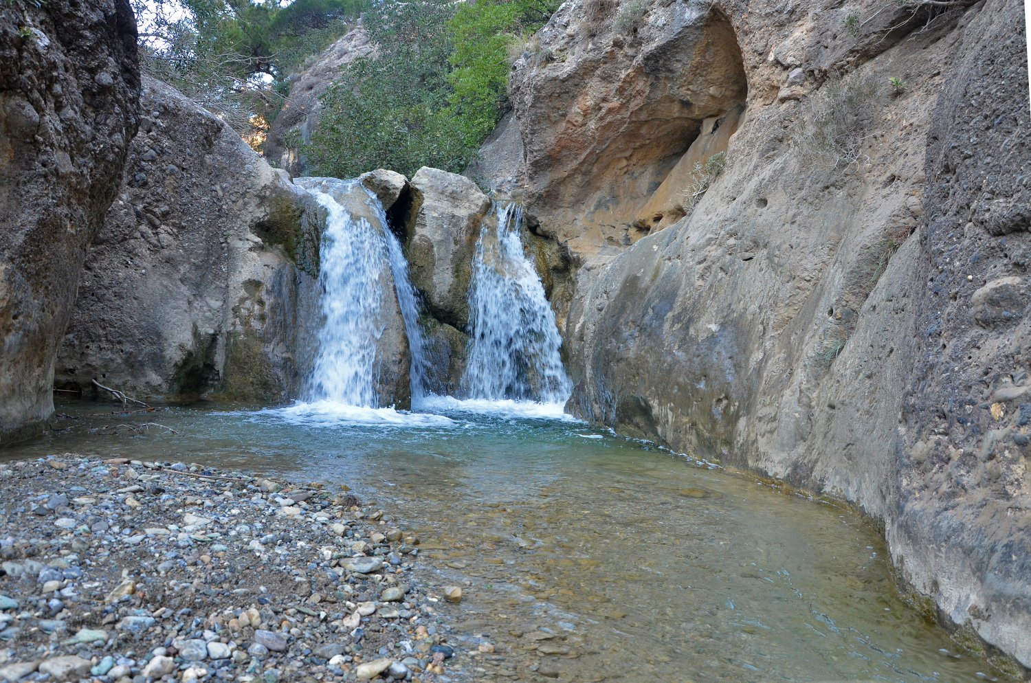
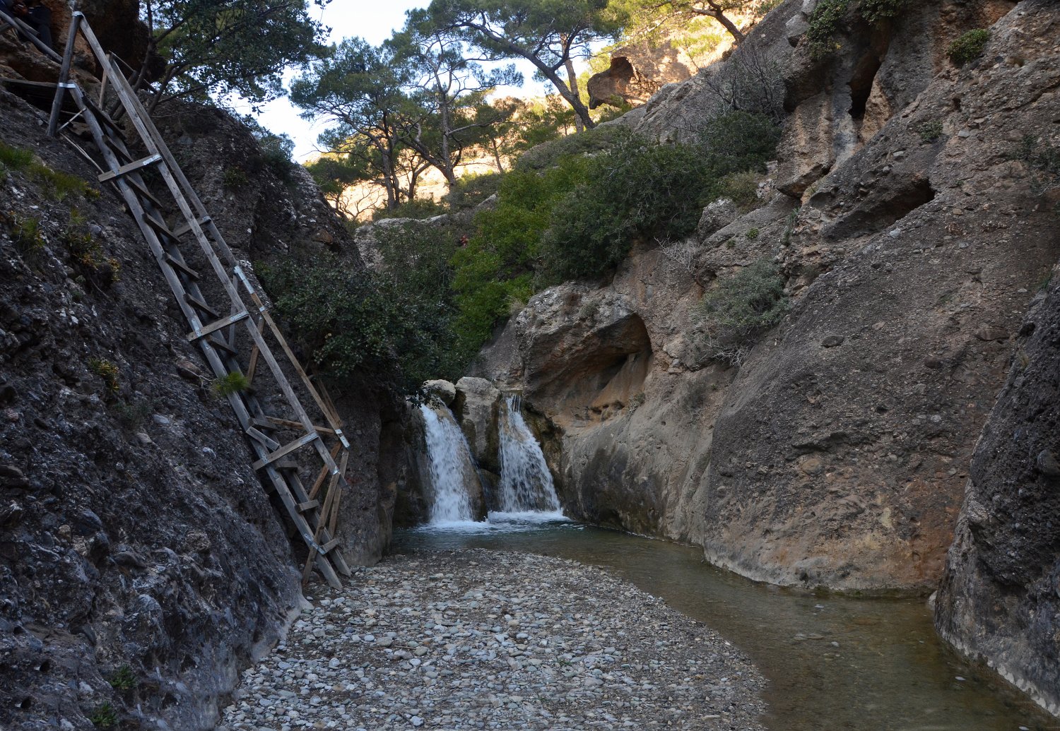
Nearby the lush green and full of water springs Orino village we meet one of the most steep gorges of Crete. Its springs are located high on the plateau Abelia on the slopes of Thripti and Papouri mounts. They shortly form a river that crosses the village square and enters the rugged canyon of Orino. Descending the canyon along its riverbed requires canyoneering equipment. The river shapes incredible waterfalls with ponds and especially its last part is amazingly beautiful. The last three waterfalls at Peristerionas position are some of the most beautiful in Crete. Impressive also is the amount of water, very rare in dry East Crete. Even during the summer months, there is water flow in the gorge.
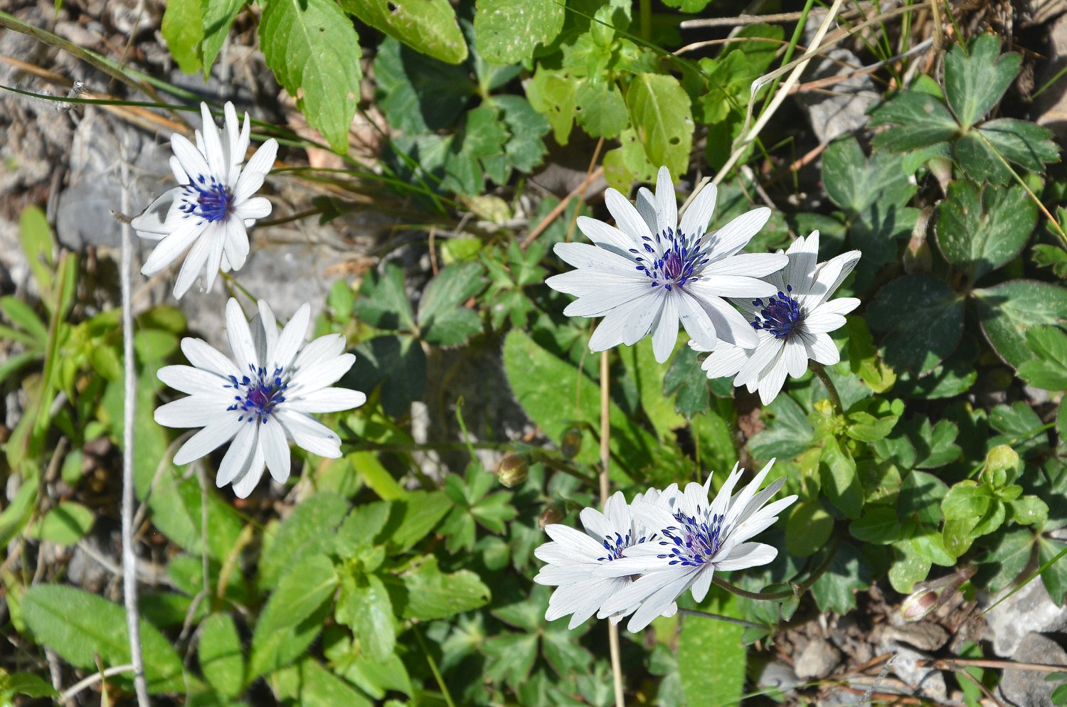
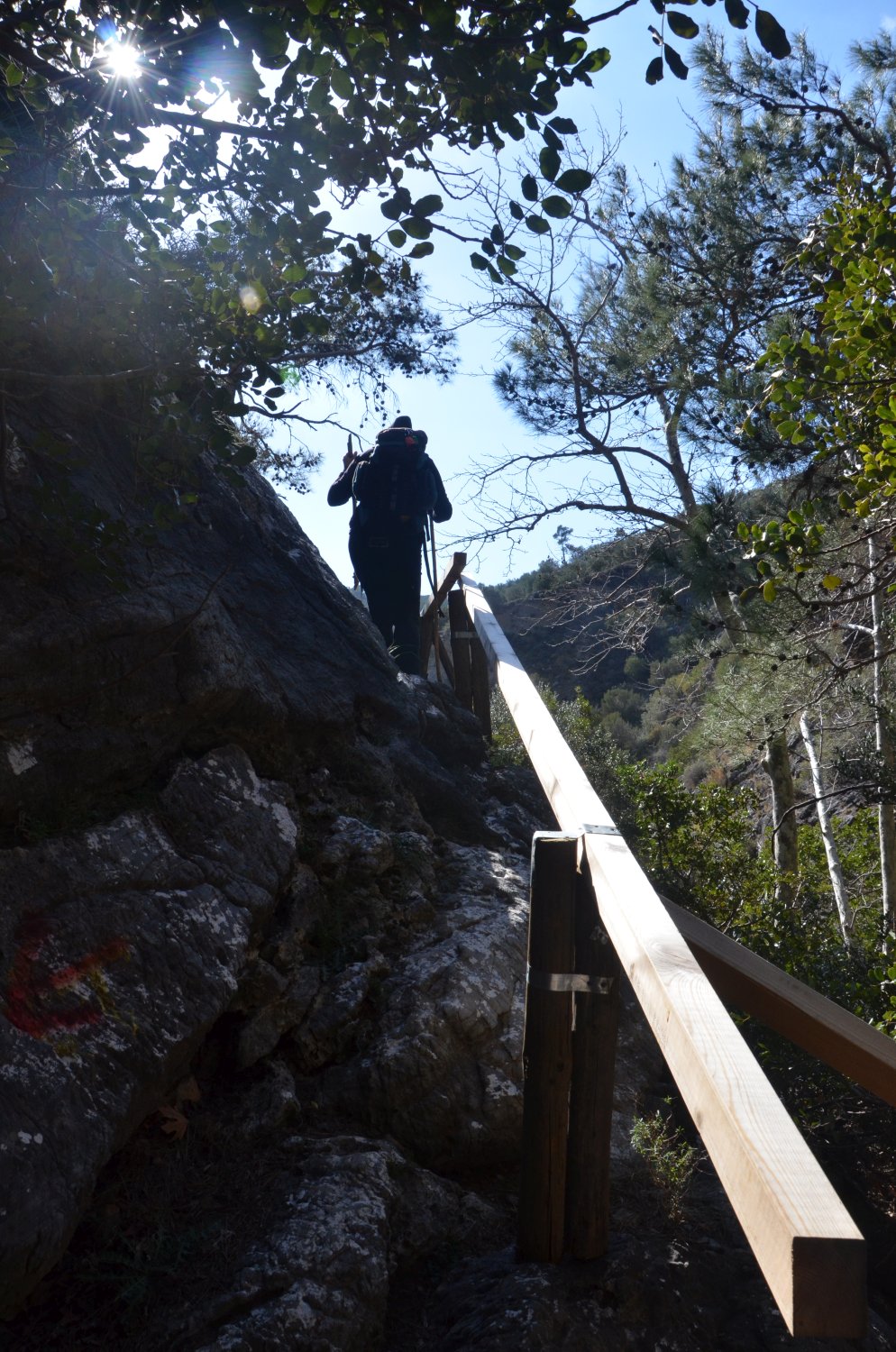
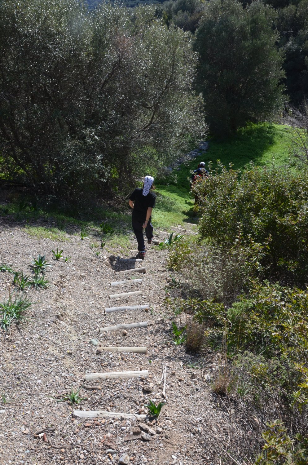
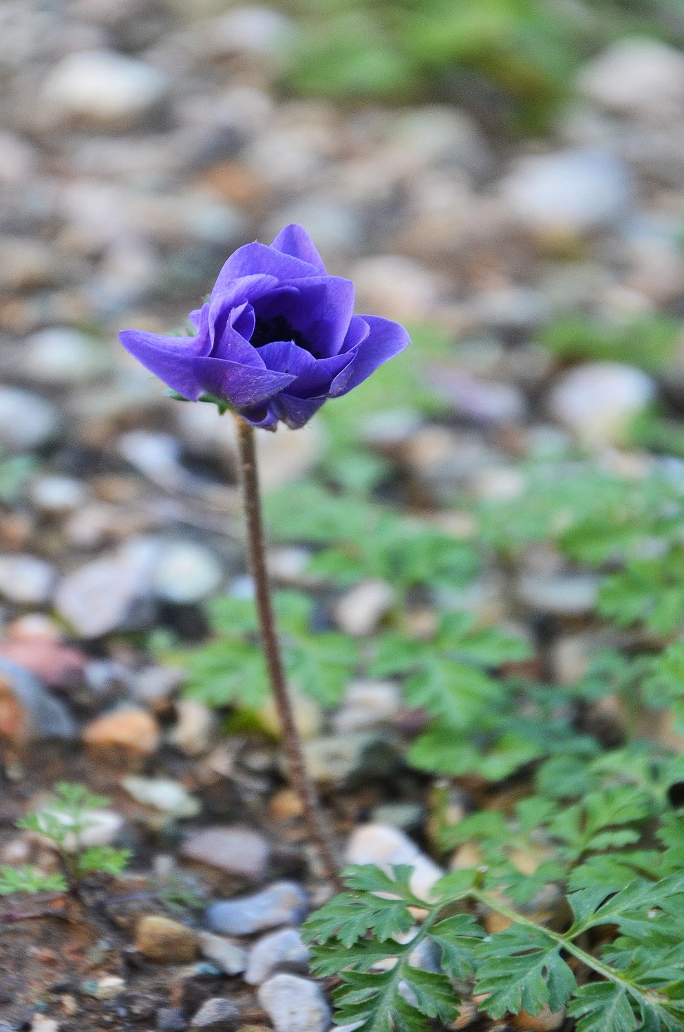
The river continues to flow down and enters the Canyon of Red Butterflies finishing at Koutsouras Beach. Despite the fact that it suffered major damage from a big fire in 1993, the vegetation in the Gorge with Red Butterflies is still lush and the gorge still constitutes a green lung of the warm eastern Crete. The gorge starts near the exit of Orino Gorge and ends at Koutsouras after 3-4 hours of walking (starting from the village Orino and bypassing the wild part of Orino Gorge). Along the route, there are signs indicating the path. At the beginning of the route, there are some small springs and waterfalls, which do not have water during summer months. However, in winter, hiking in the gorge gets quite difficult. The gorge is named after the red butterflies that fly through the bushes and flowers, forming a truly rare sight! Unfortunately, in the years following the fire, their population has significantly decreased.